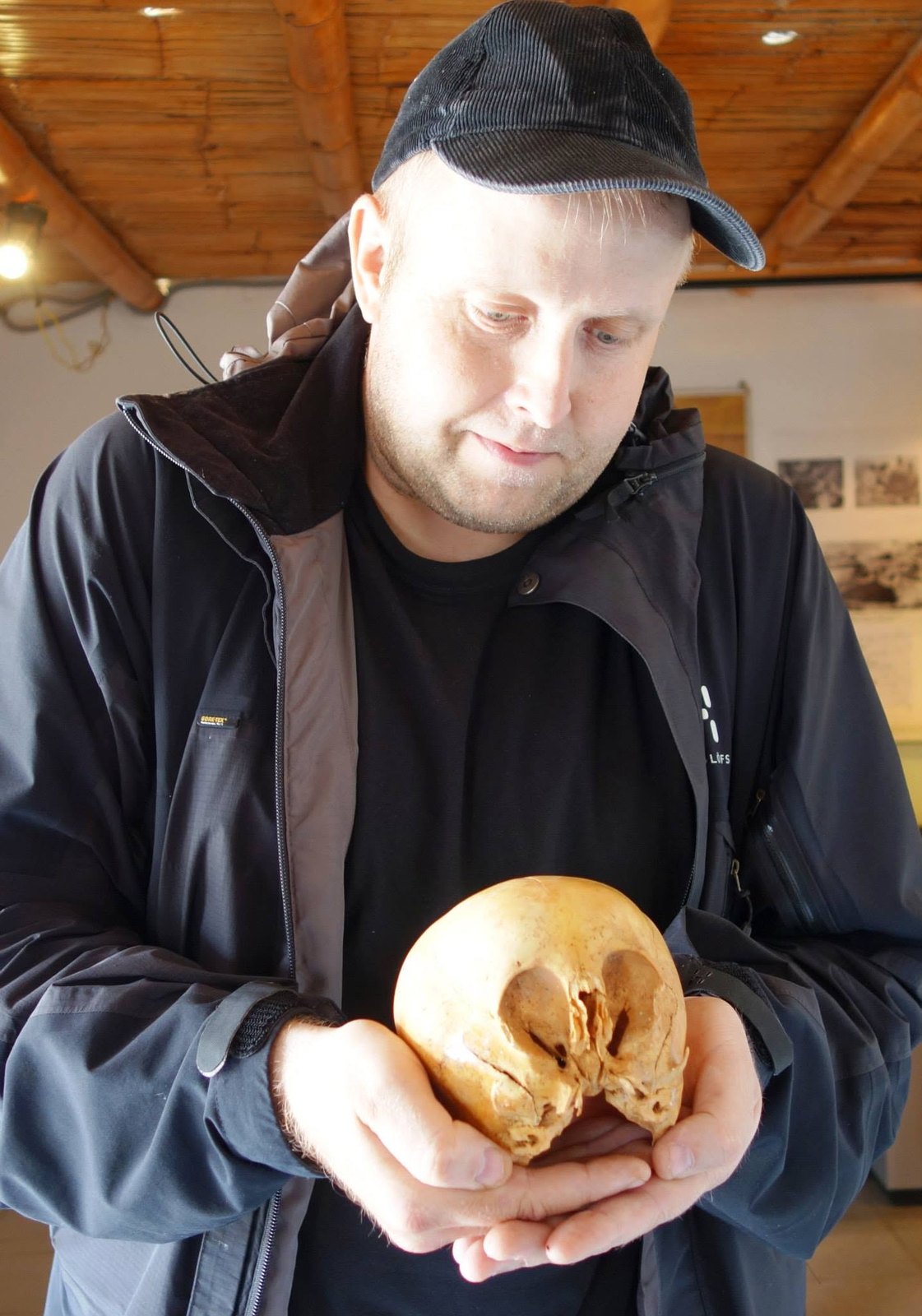
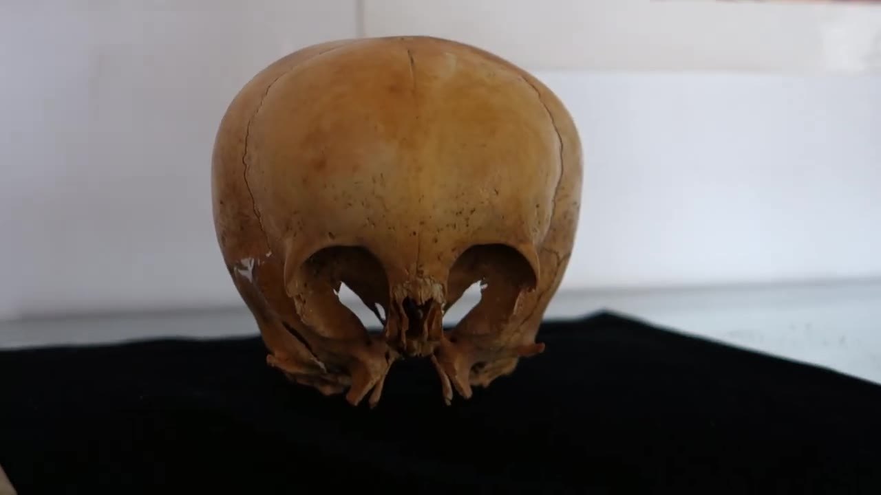
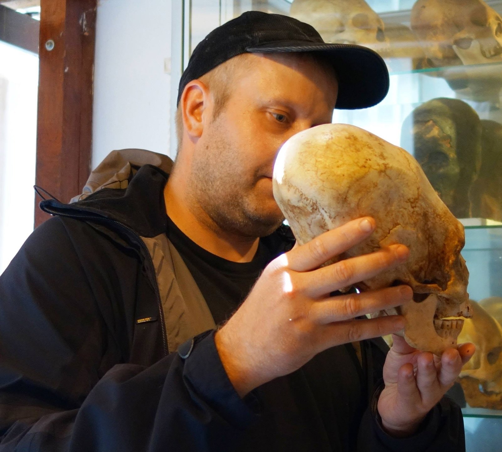
A photograph from Peru, 2014: Jani Korpi is holding a wide, round skull that the collection calls Starchild 2. The name is borrowed from a different skull in Mexico, made known by Lloyd Pye; this gallery keeps the two apart.
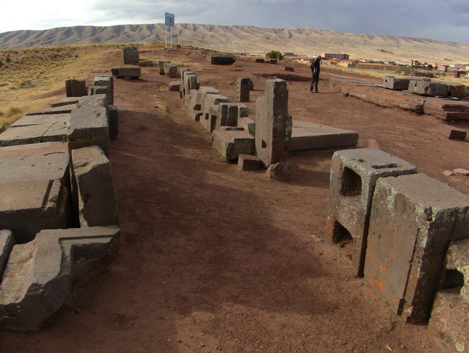
The same journeys also left a trail of stone. In 2011 he photographed Peru and Bolivia in travel order, from the Nazca coast to the salt of Uyuni: desert, reed islands, the zigzag walls of Sacsayhuamán above Cusco, and the fitted stones of Tiwanaku and Puma Punku.
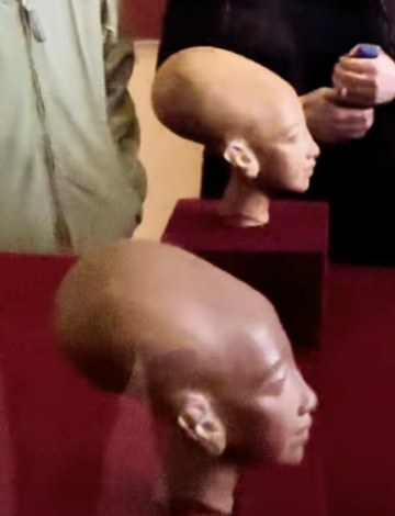
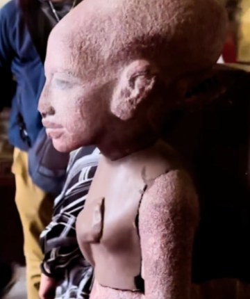
On 15 February 2024, in the Egyptian Museum in Cairo, he photographed stone heads whose profile can recall the elongated skulls of Peru. The likeness is visual only: the Cairo heads are sculptures, the Peruvian skulls are bone. In studied Paracas material, a long head is read as childhood modification, not as a result of DNA.
Jani Korpi holds the skull called Starchild 2, Peru 2014. The name was given by the collection and the video’s narrator, not by research. Photo: Jani Korpi, Peru 2014.
“I have travelled all over the globe, and here I am holding the Starchild 2 skull in my hands.”
Photo galleries: 15 places
The Peruvian coast
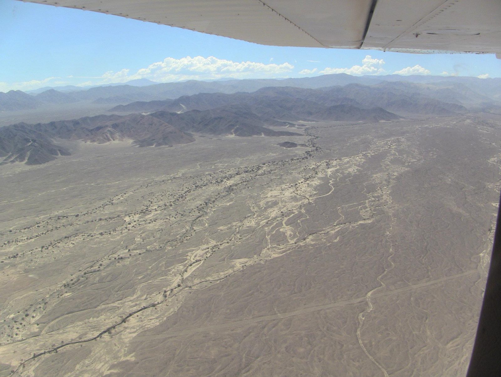
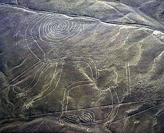
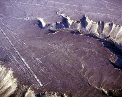
Nazca Lines
How do you draw a hummingbird bigger than a football pitch without ever seeing it from above?
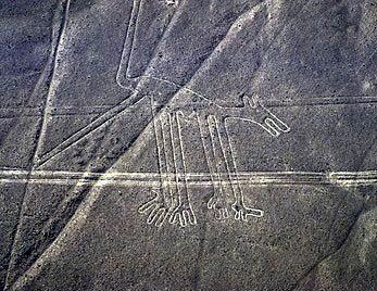
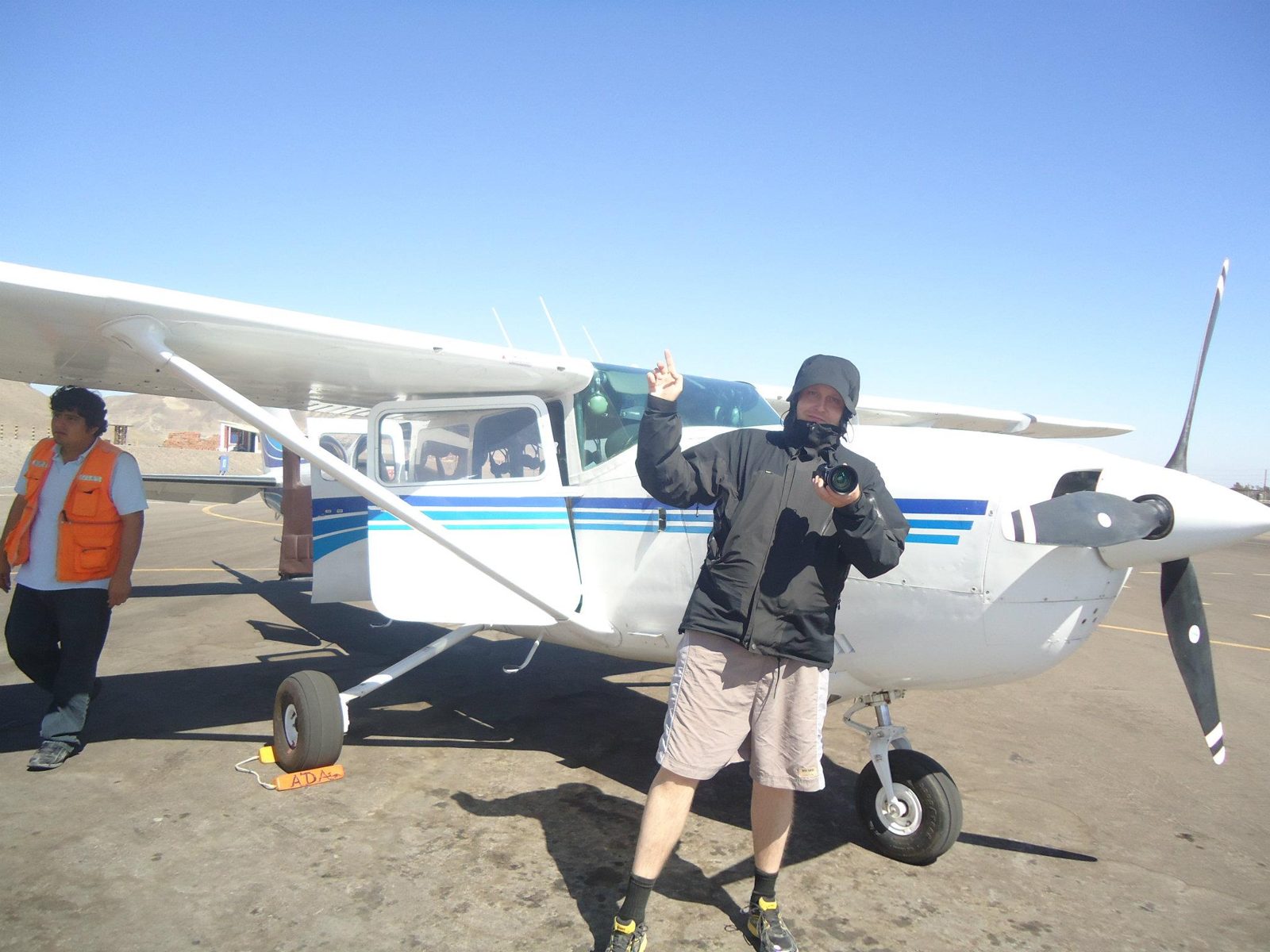
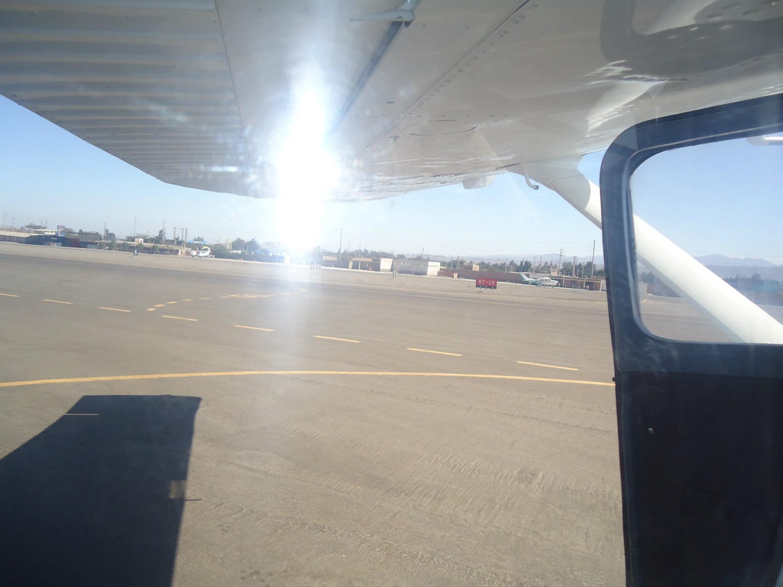
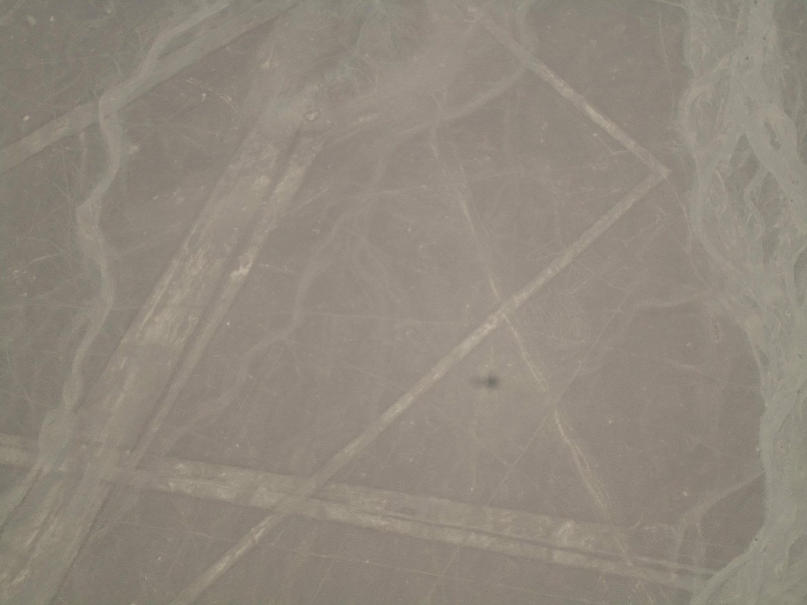
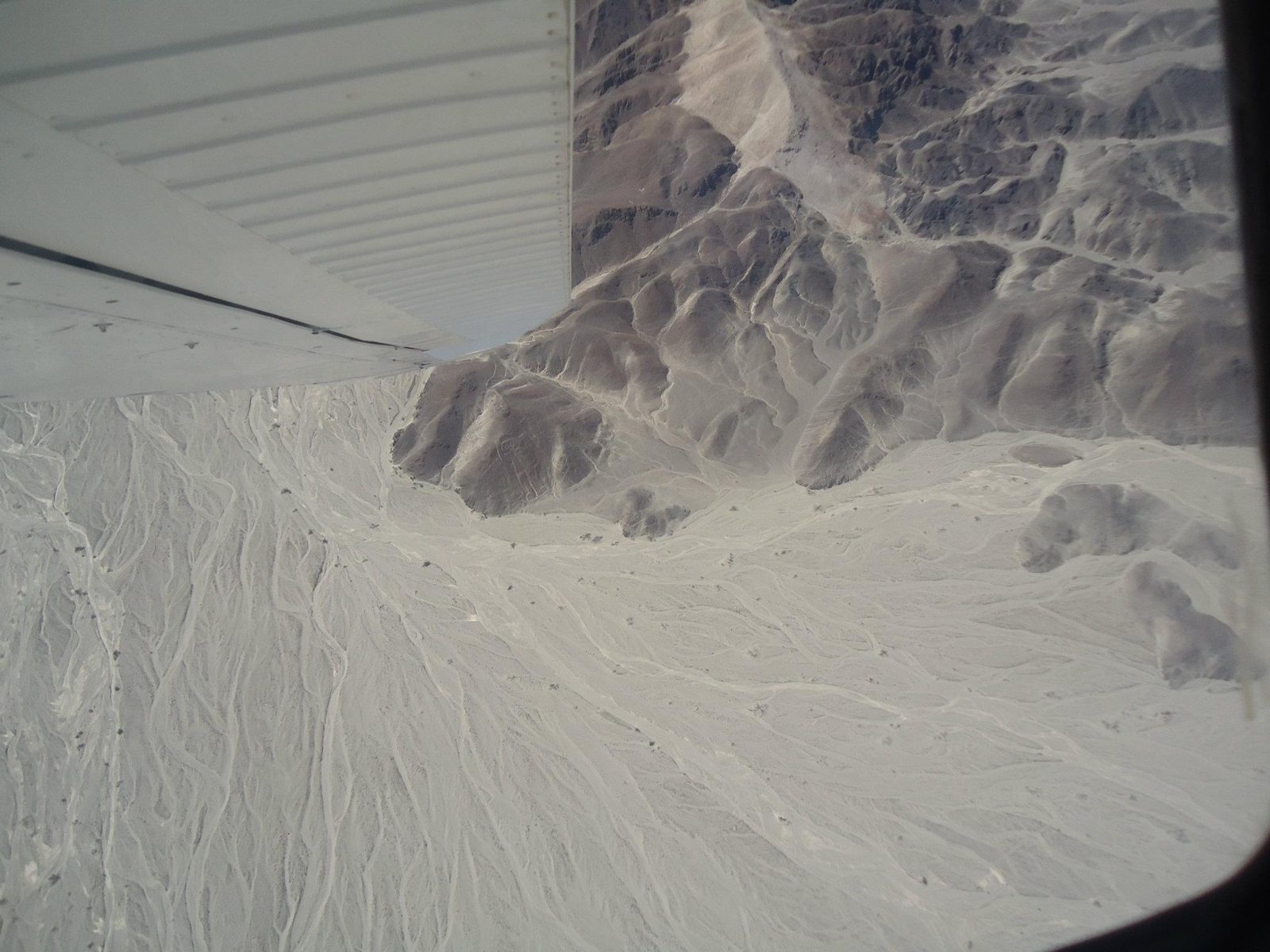
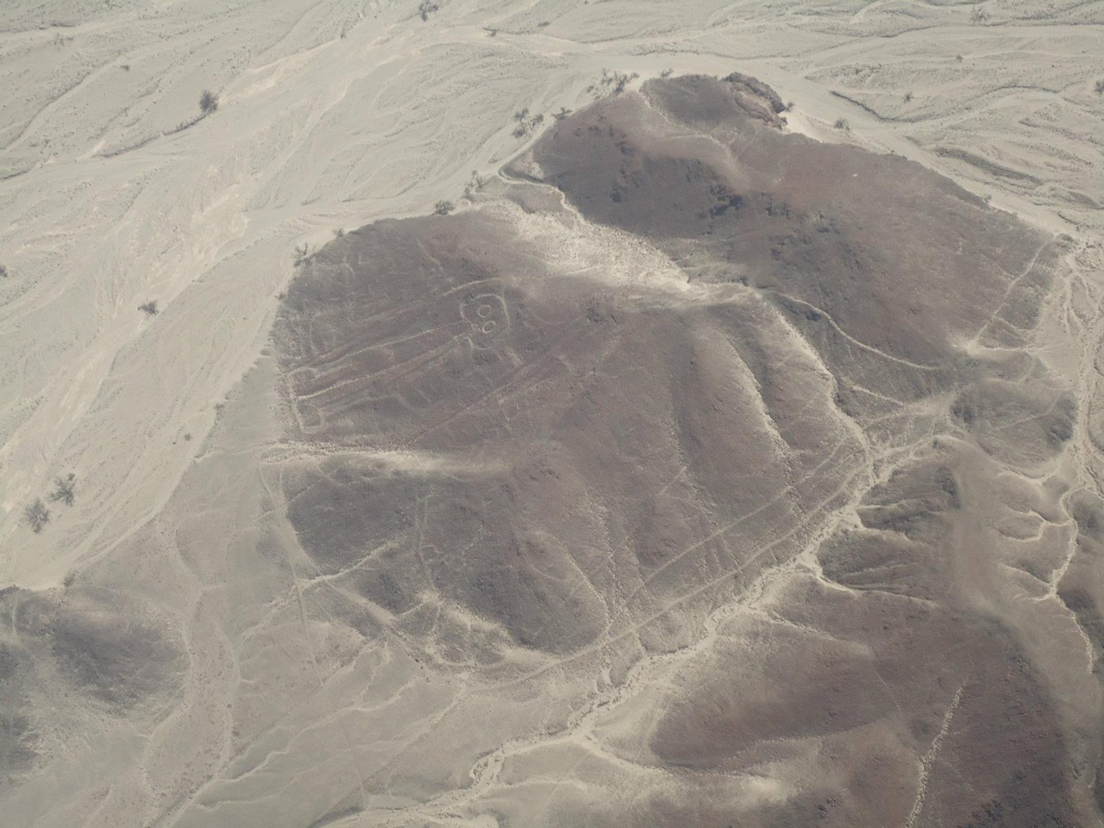
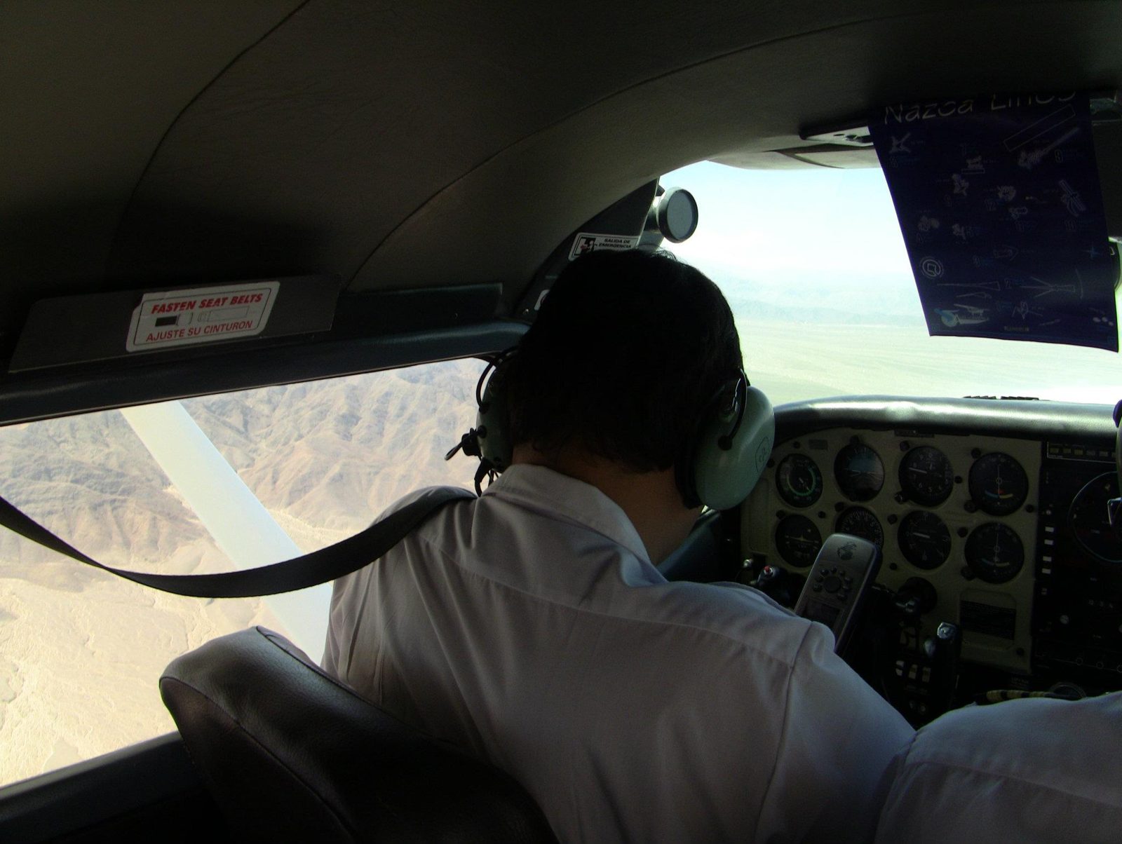
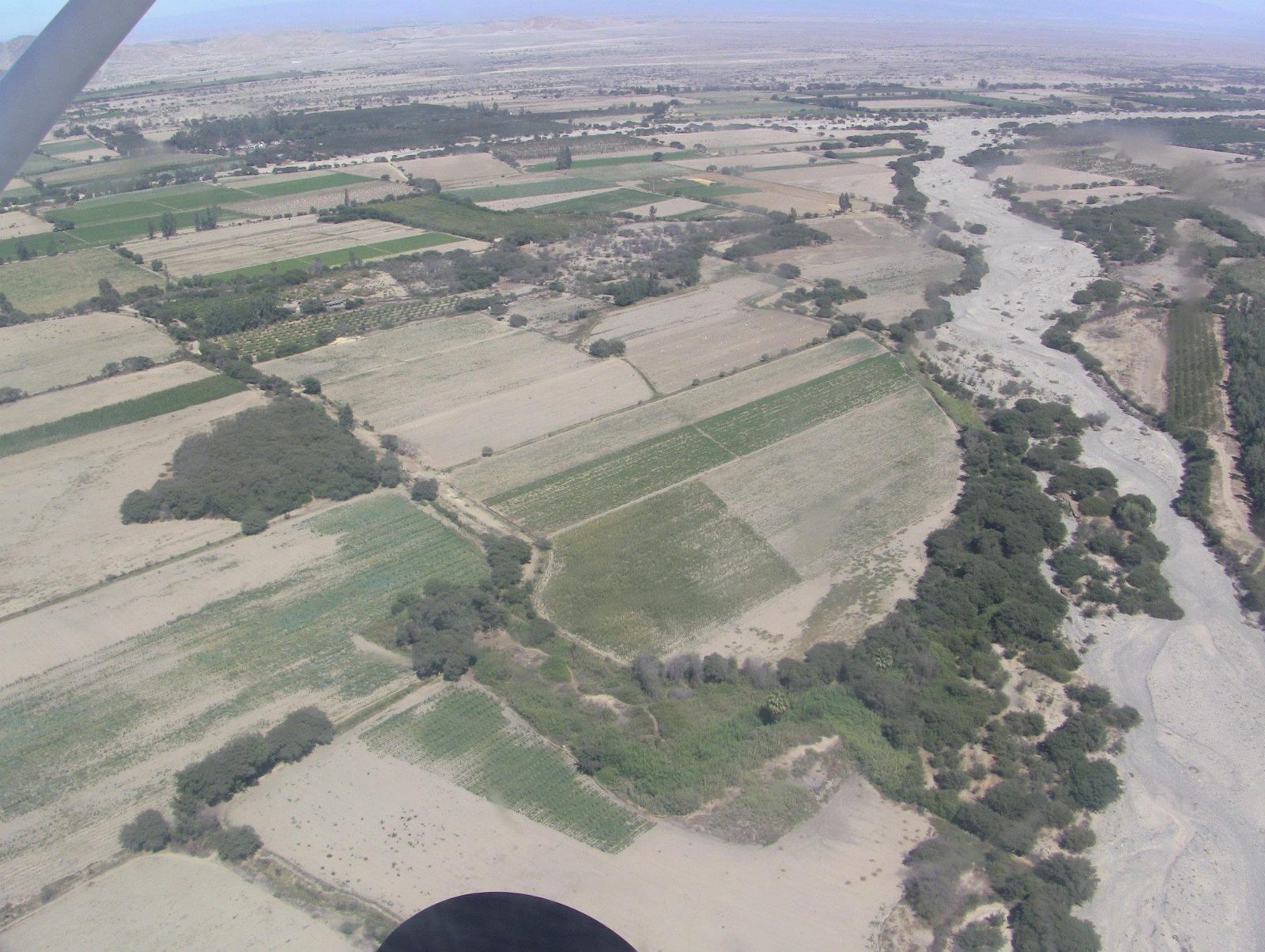
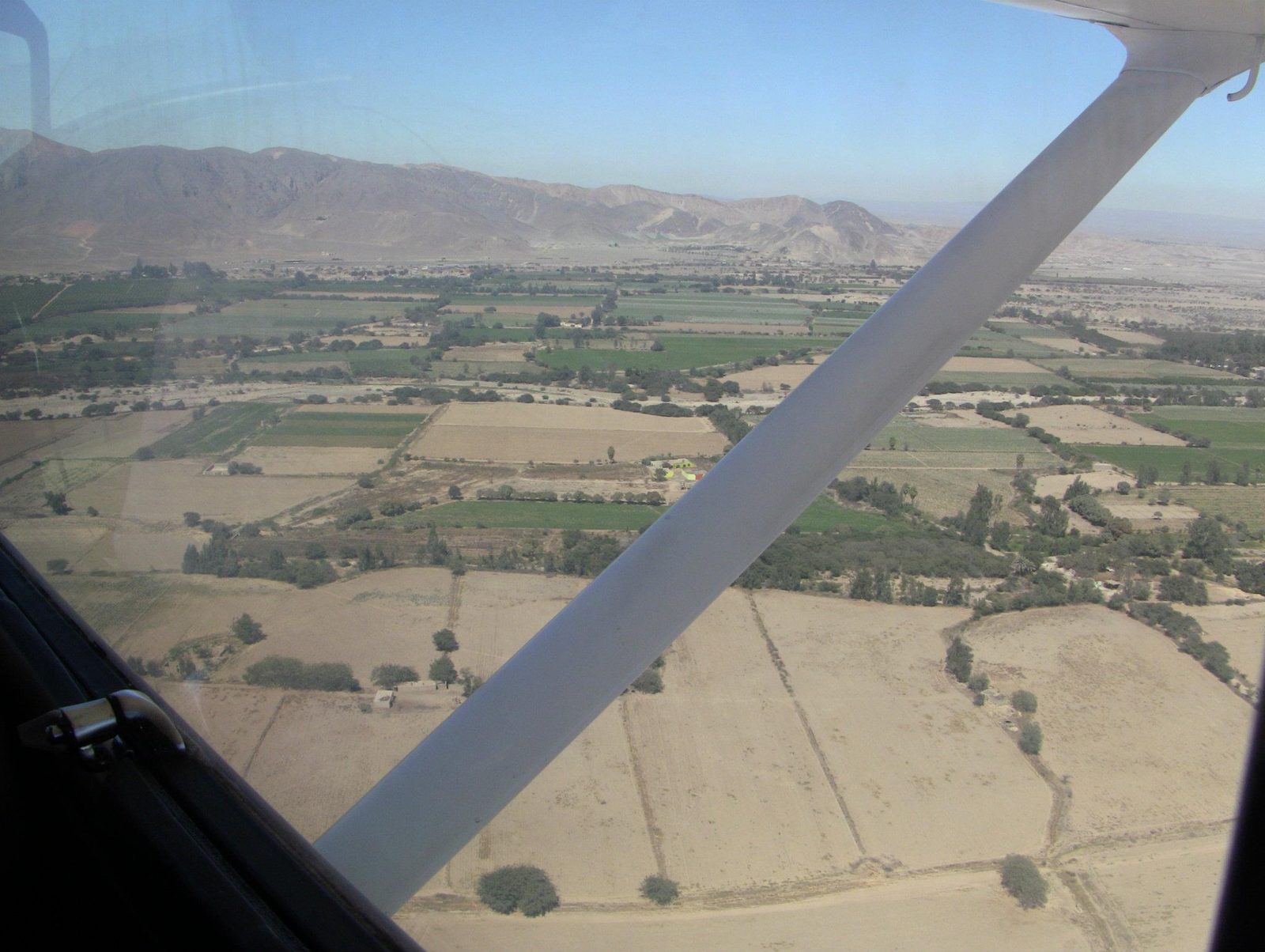
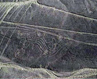
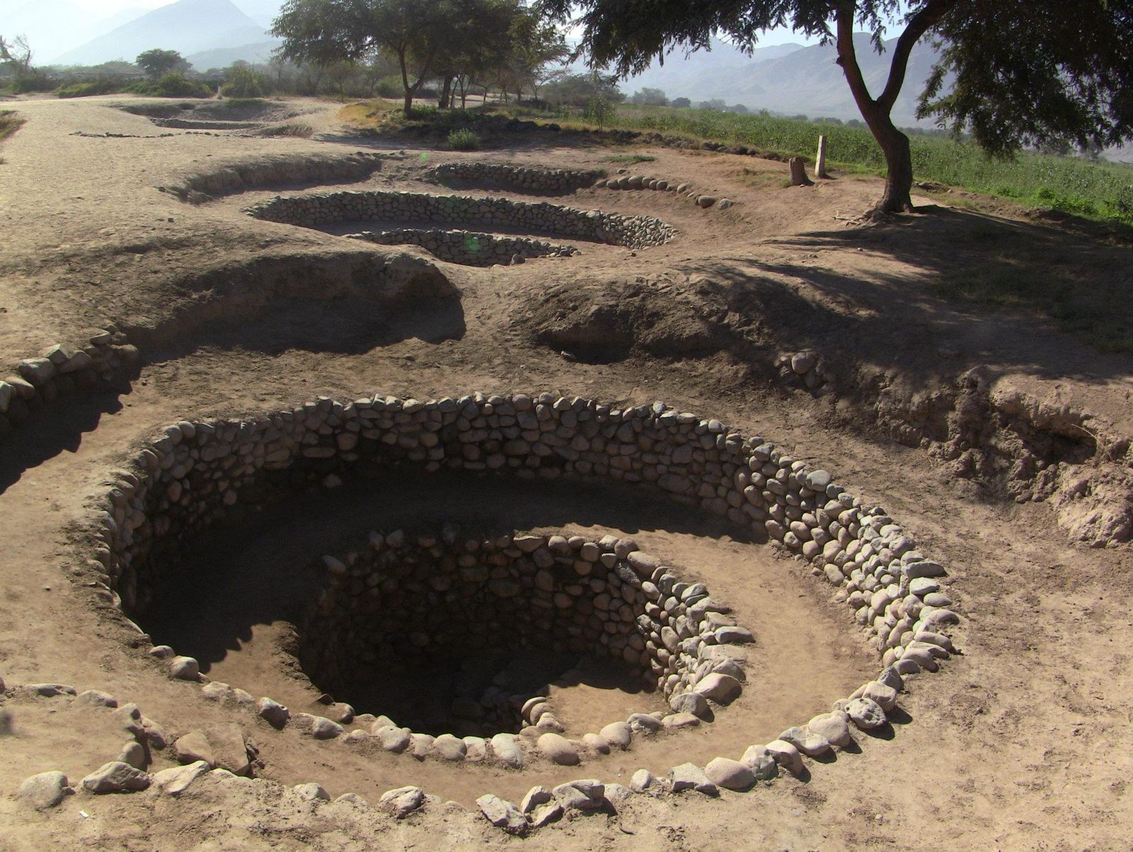
A geoglyph from the air: the figures were drawn by moving reddish, iron-oxide-coated stones aside to expose paler ground.Data: Culture: Nazca · Dated: about 500 BC–AD 500 · UNESCO: 1994Boarding for the overflight. Many figures are too big to read from the ground; the hummingbird is about 93 m long.Take-off from Nazca. The Pan-American Highway, built before the lines were protected, cuts straight through the lizard figure.Most lines are only 10–15 cm deep; the dry, nearly windless pampa has preserved them for some 2,000 years.Lines run straight across the pampa and over hills, some for several kilometres, barely changing direction.In 1982 Joe Nickell's small team copied a 134 m condor in a couple of days with stakes and string, without any aerial view.Researchers count over 800 straight lines, about 300 geometric figures and some 70 animal and plant figures.Data: Lines / geometric / figures: 800+ / 300 / ~70Straight lines on the plain. In 2024 an AI-assisted survey led by Yamagata University reported 303 new figurative geoglyphs.The green valley beside the bare pampa. Many researchers link the lines to water rituals; some lines appear to point toward water sources.Irrigated fields near Nazca. Underground puquio aqueducts, like those at Cantalloc, still bring water to farms here.A figure on the pampa. Maria Reiche mapped and defended the lines for decades from the 1940s until her death in 1998.Lines crossing a figure. Overlaps like this suggest the geoglyphs were made over many centuries, not in one plan.Trapezoids and long lines on the hills. Open question: some researchers read the trapezoids as ritual gathering spaces.
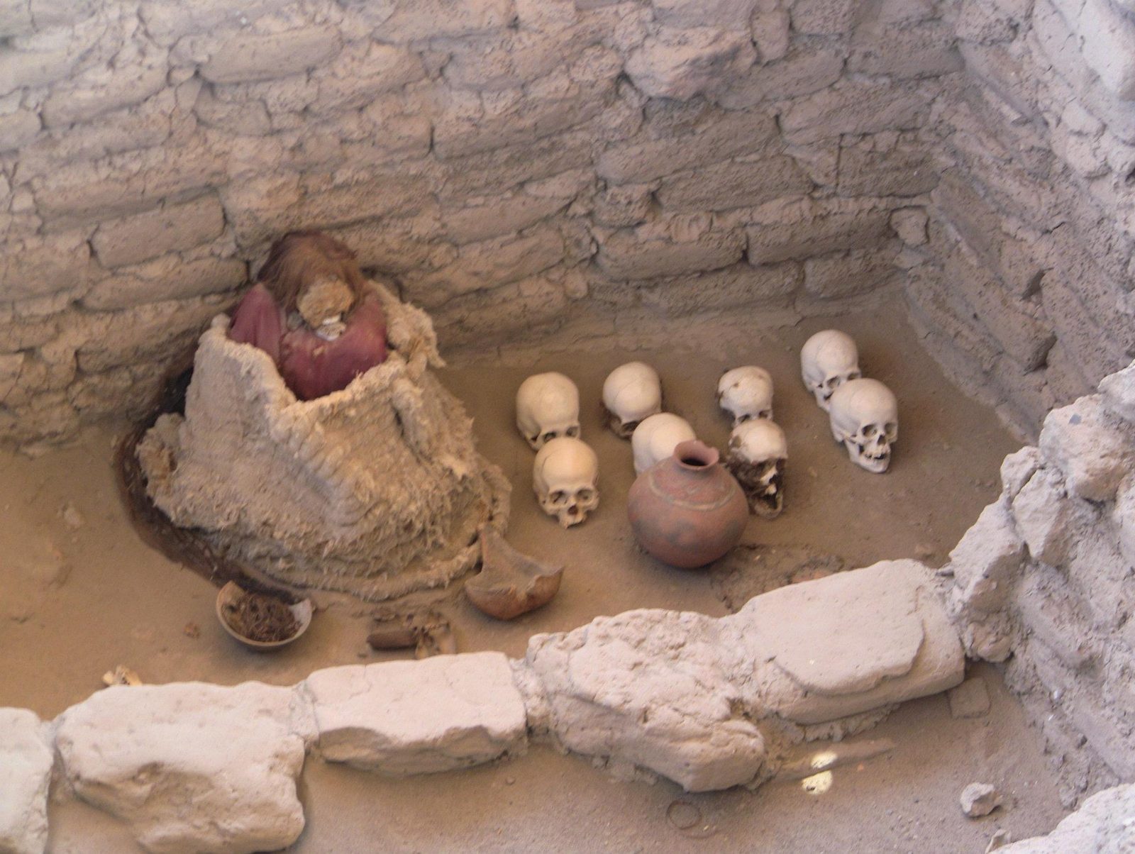
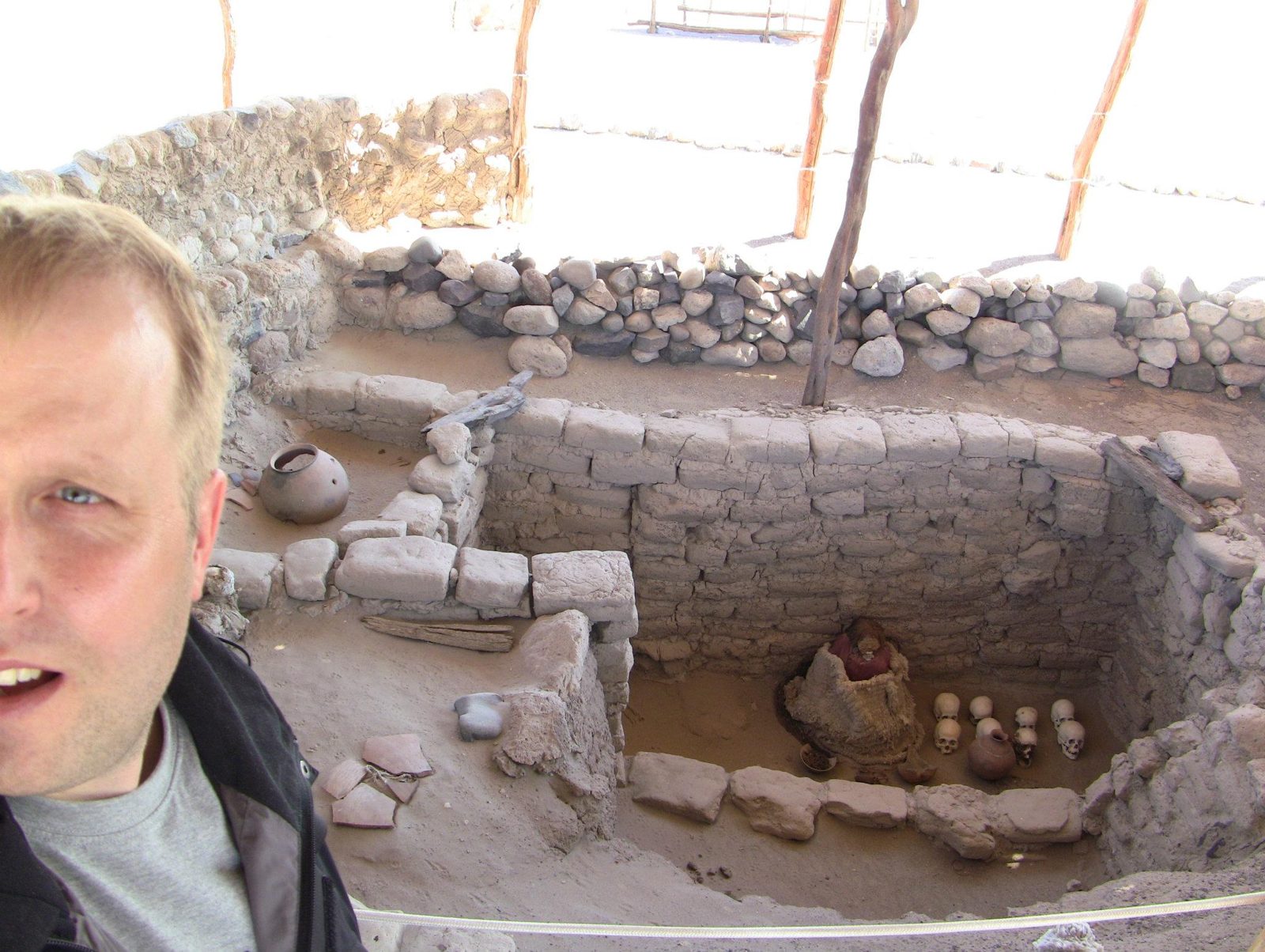
In the desert south of Nazca, the dead still sit in their tombs with their long braided hair intact.
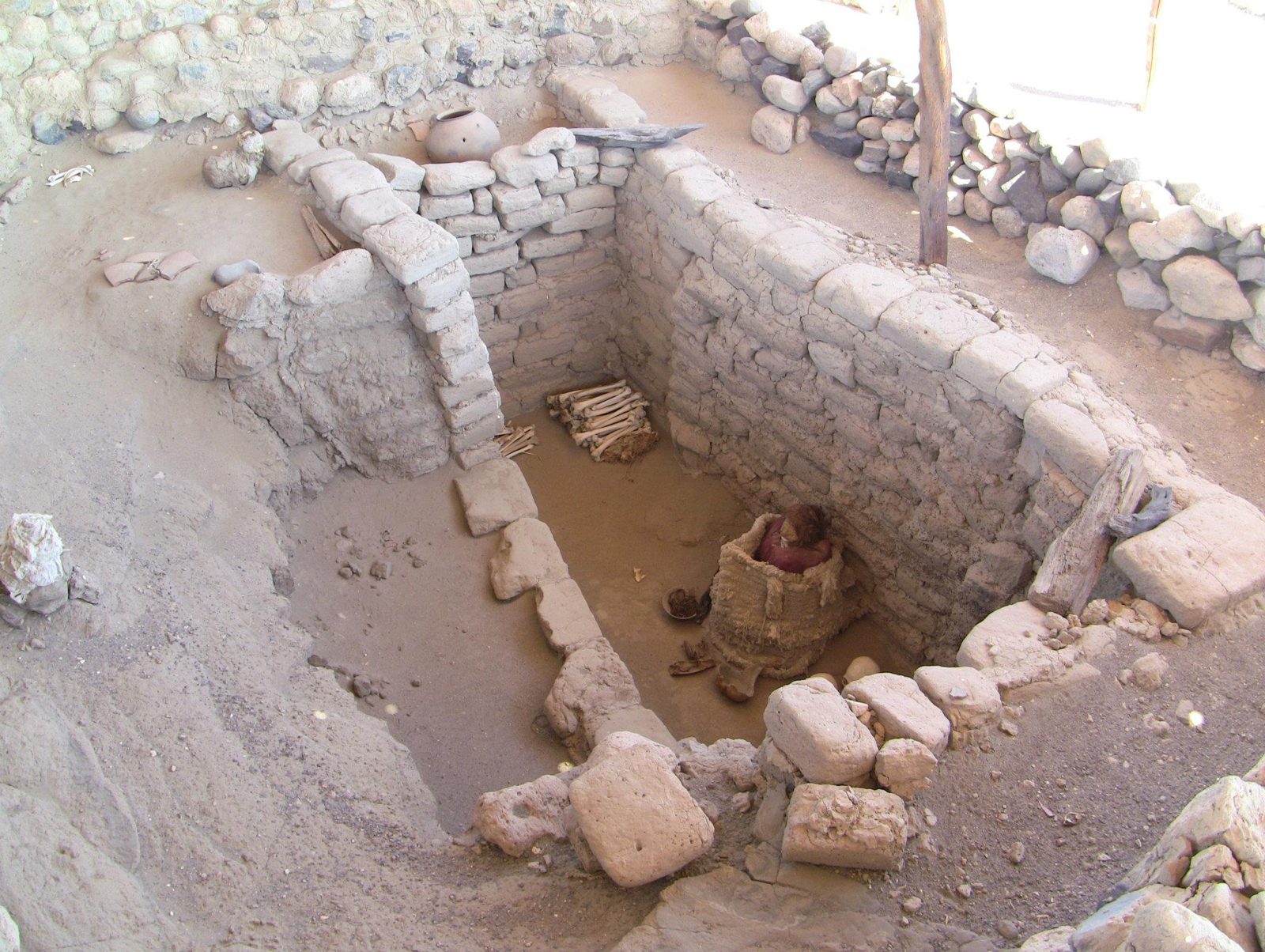
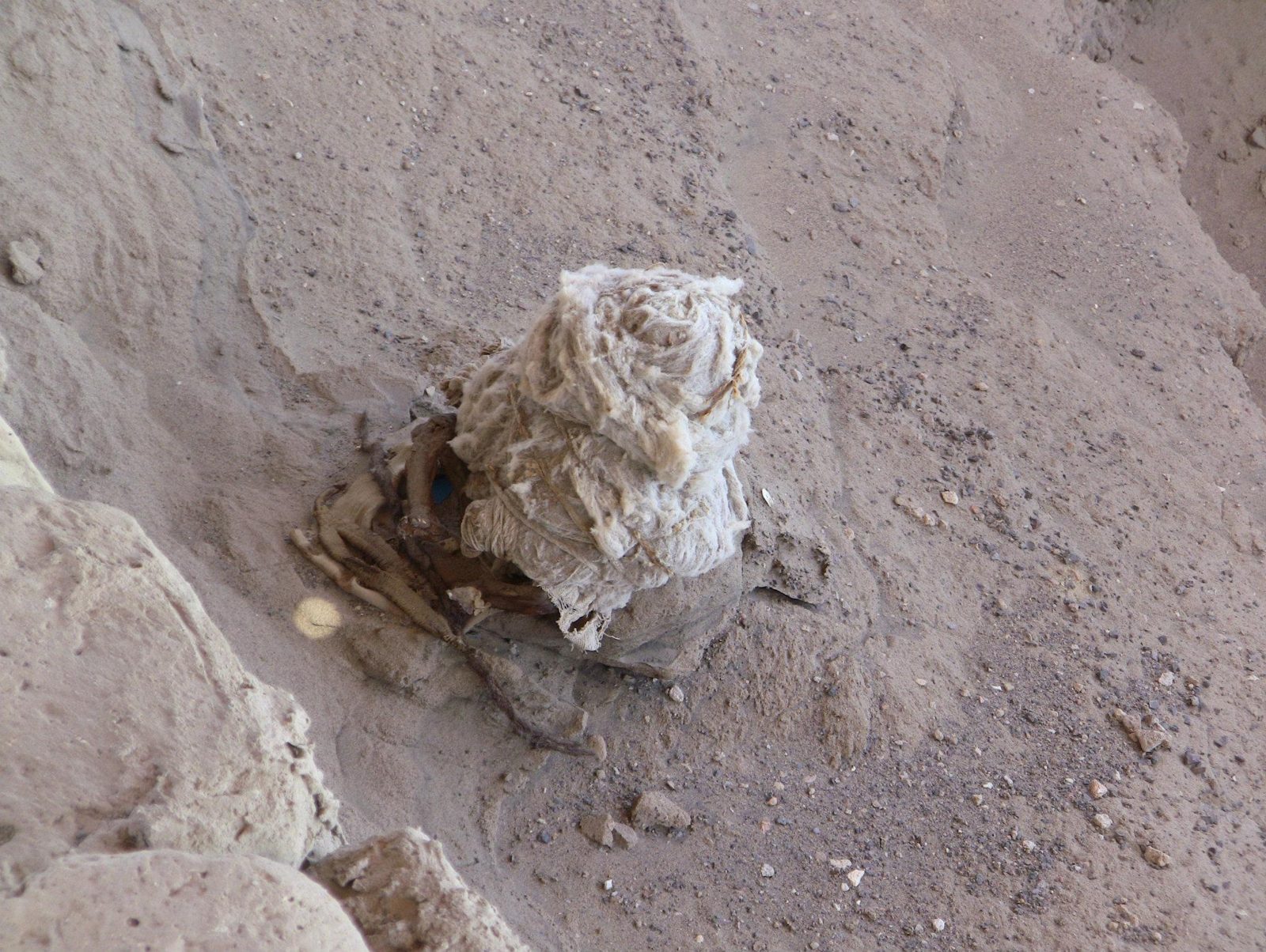
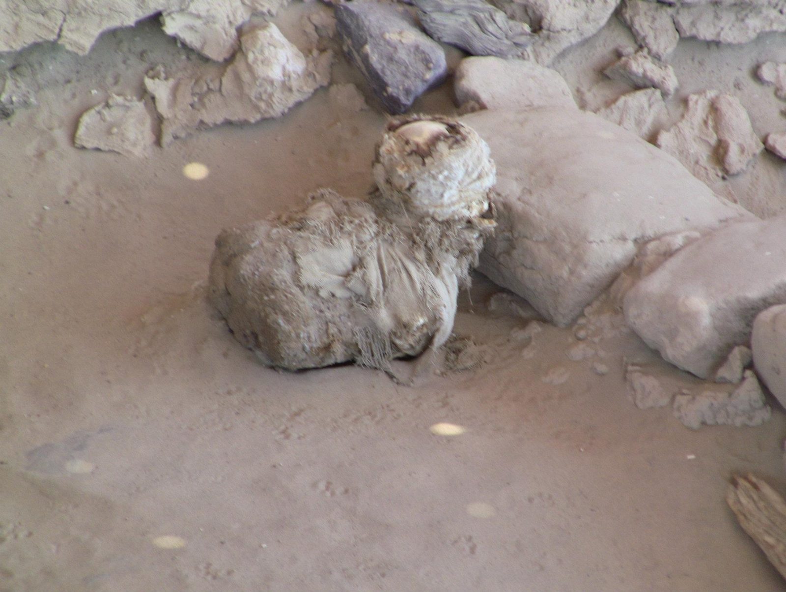
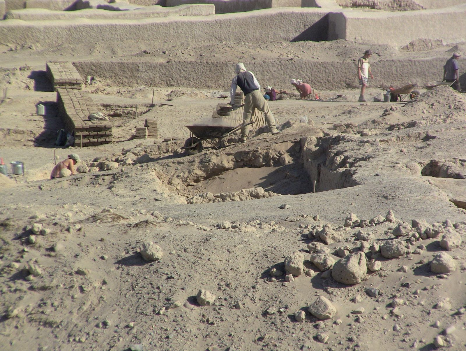
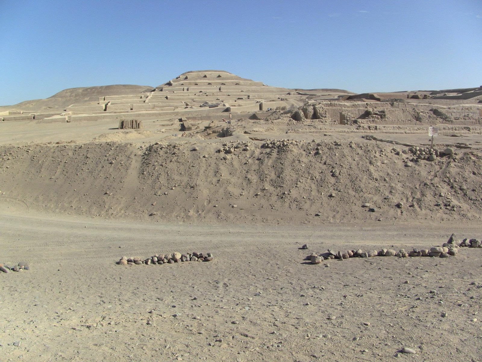
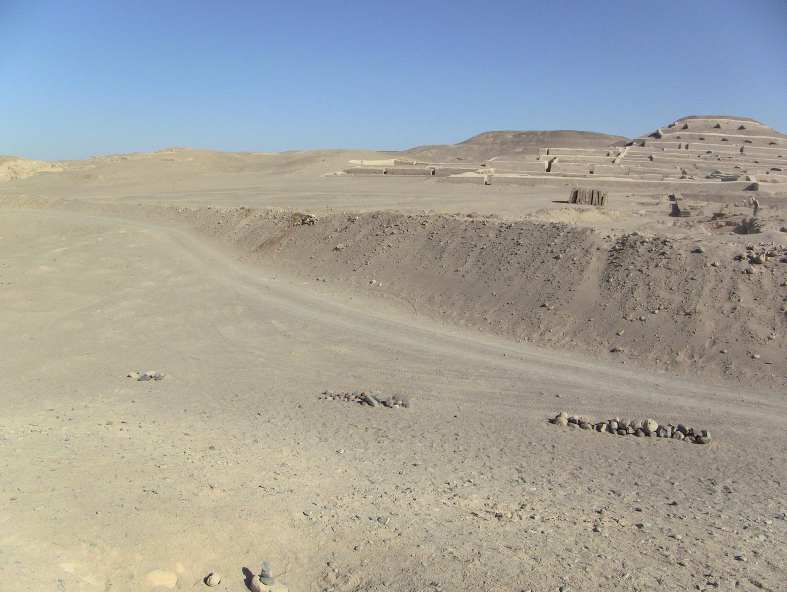
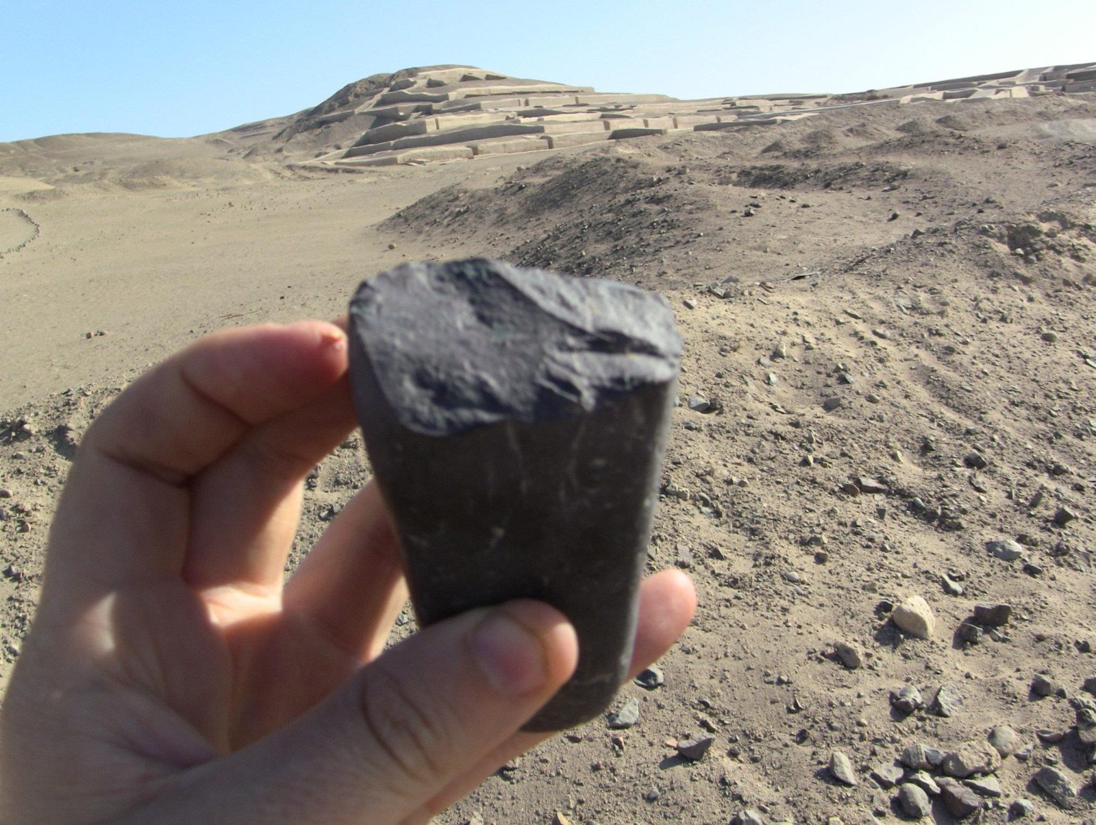
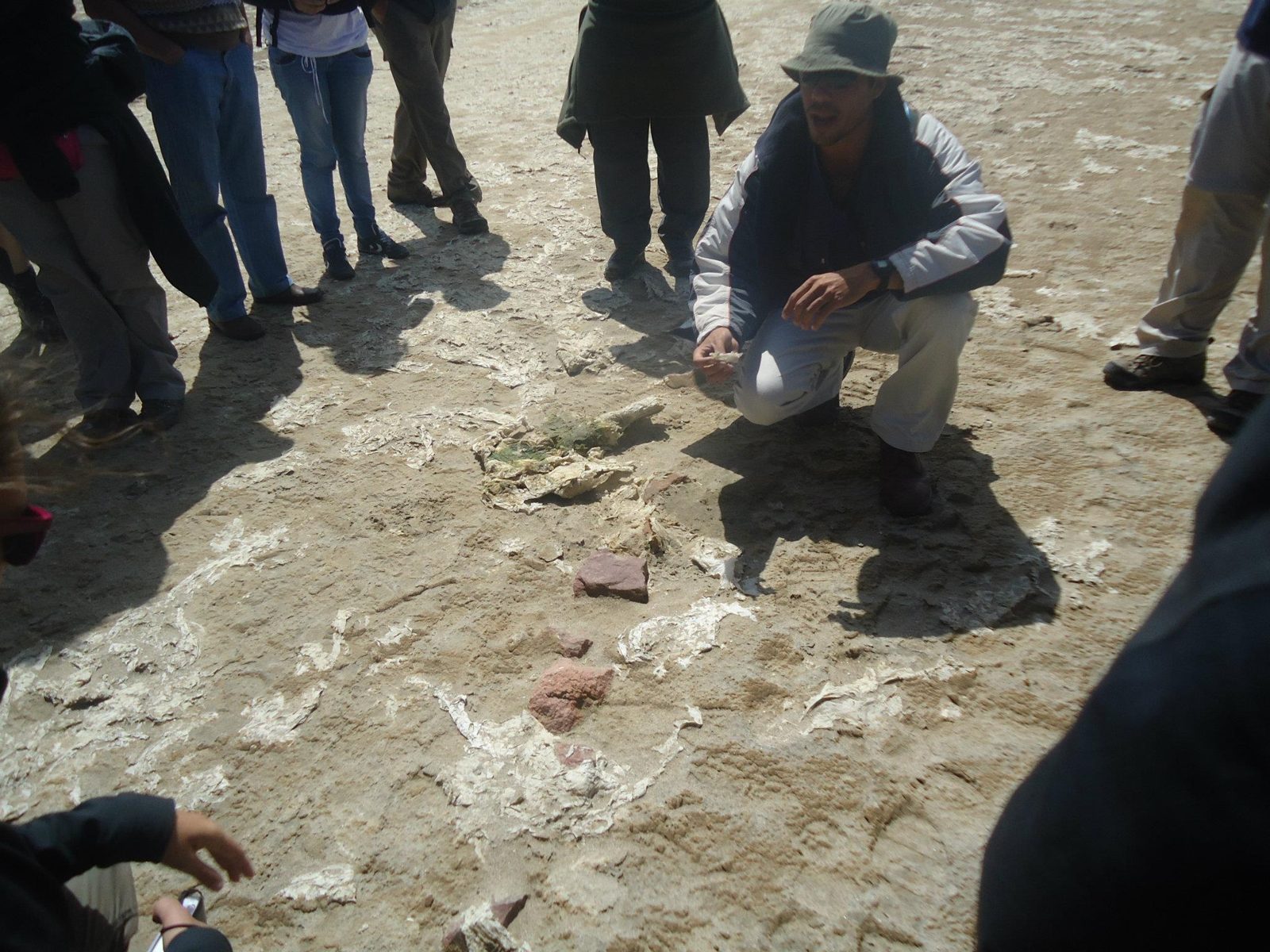
Mummies and pots in an open tomb. The bodies were wrapped in cotton and coated with resin, which helped preserve them.Data: Burials: about AD 700–1534A mummy seated in an adobe-lined tomb. Burials here span roughly AD 200 to the 9th century.Mud-brick tomb walls. The cemetery was found in the 1920s and looted for decades before protection in 1997.Hair and cloth survive because almost no rain falls here; the desert did the work of embalming.Bones and textiles left by grave robbers (huaqueros), who dug through the tombs for pottery and gold.A spiral "ojo" of a Cantalloc puquio. A 2016 study suggests the spirals let wind help push water through the channels.Data: Type: puquio (aqueduct) · Dated: debatedAdobe remains at the ceremonial centre of Cahuachi. According to the Mincetur inventory, the pyramids were abandoned in the 4th century AD.Data: Nazca culture: about 200 BC–AD 700Mounds near Cahuachi. Excavators count over 40; many seem to be natural hills reshaped with adobe.Toward Cahuachi. Helaine Silverman and Giuseppe Orefici argue it was a pilgrimage centre with few permanent residents.A dark surface stone. Iron and manganese oxides darken the desert pavement; lifting it shows the pale ground used for the lines.
On the Paracas peninsula the desert ends straight in a cold sea full of life.
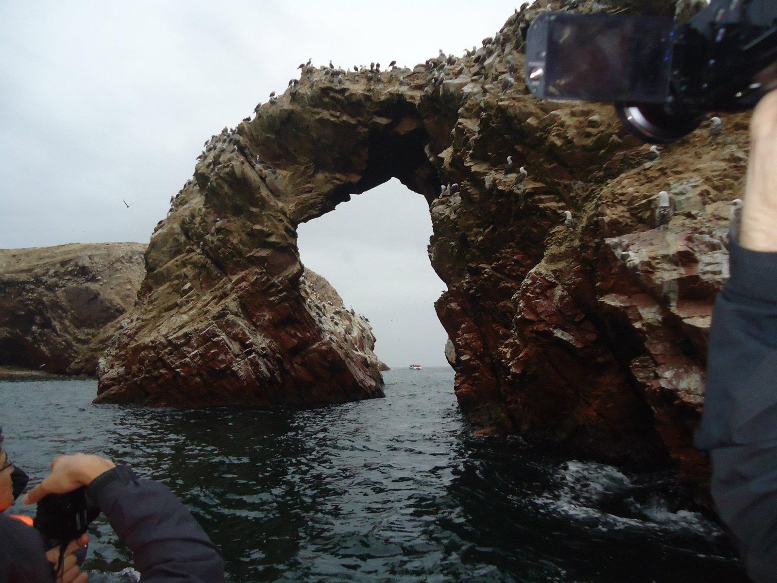
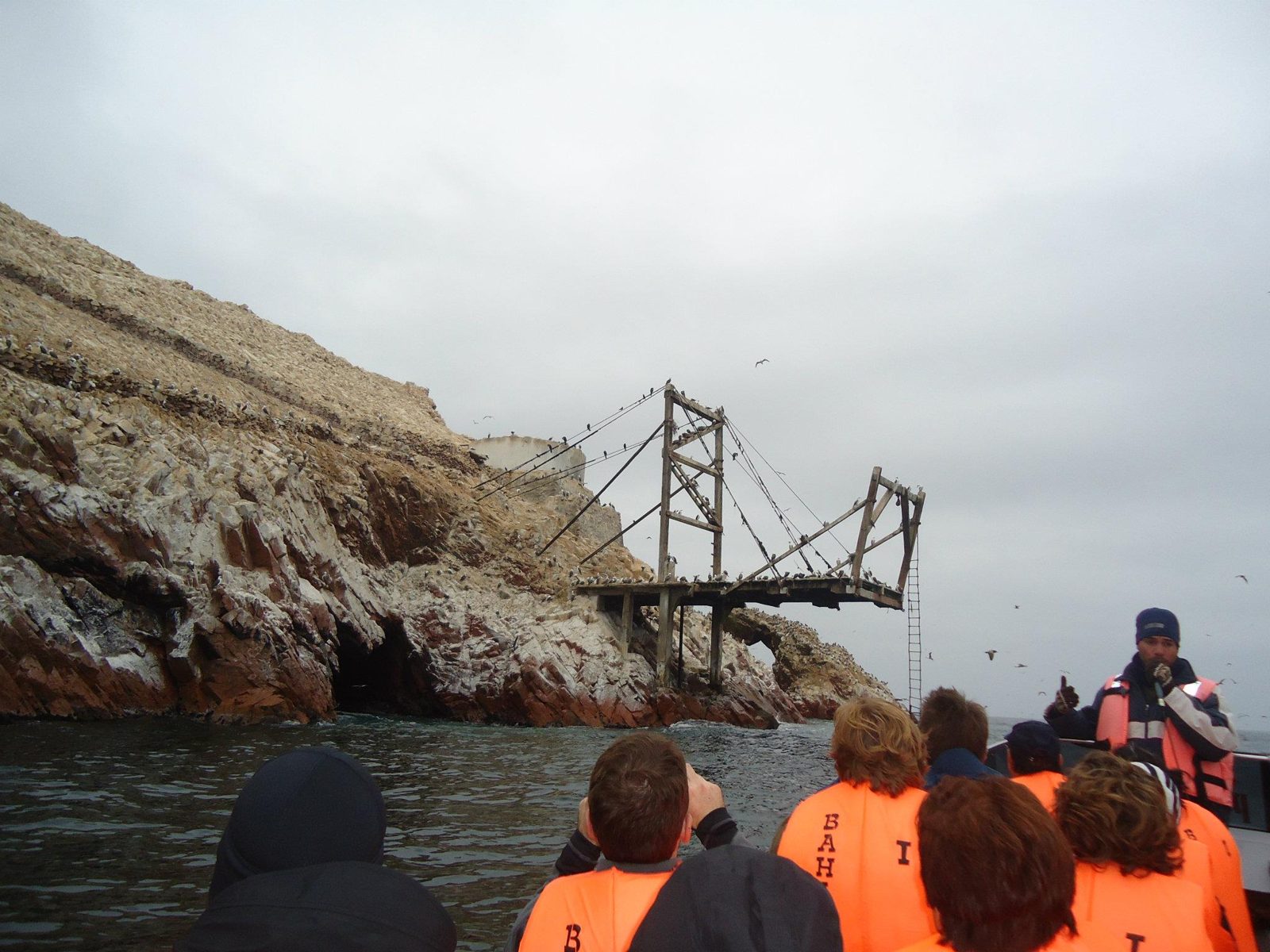
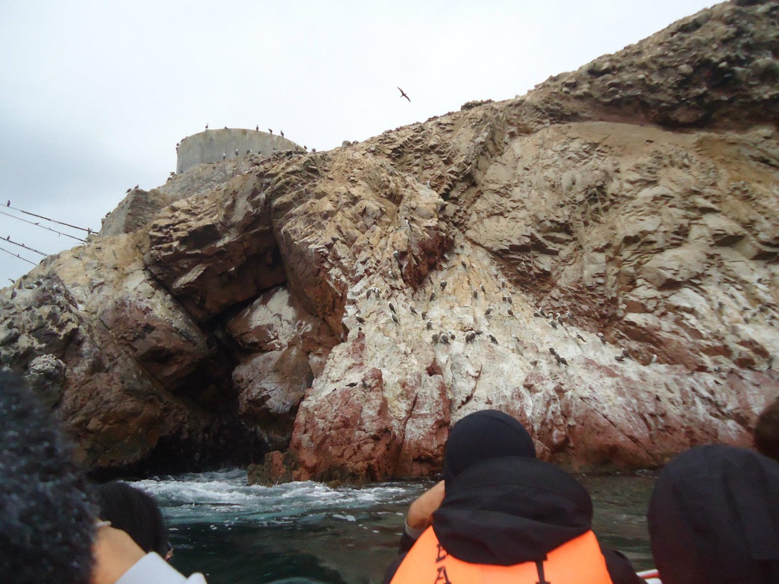
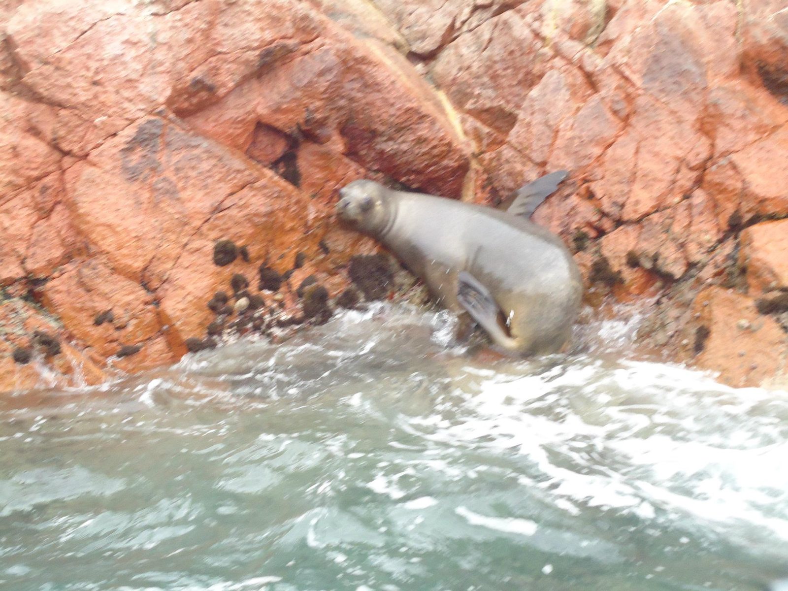
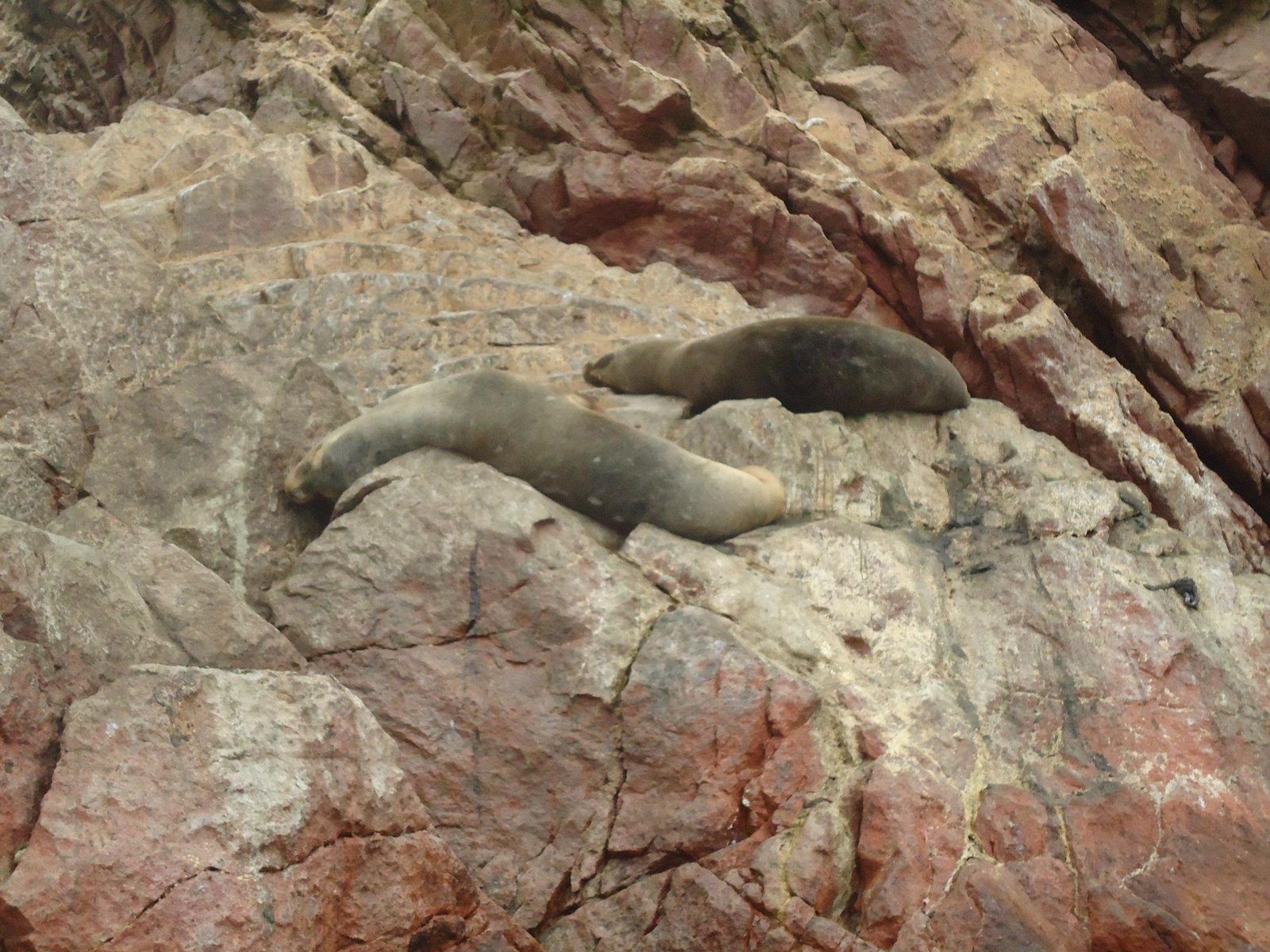
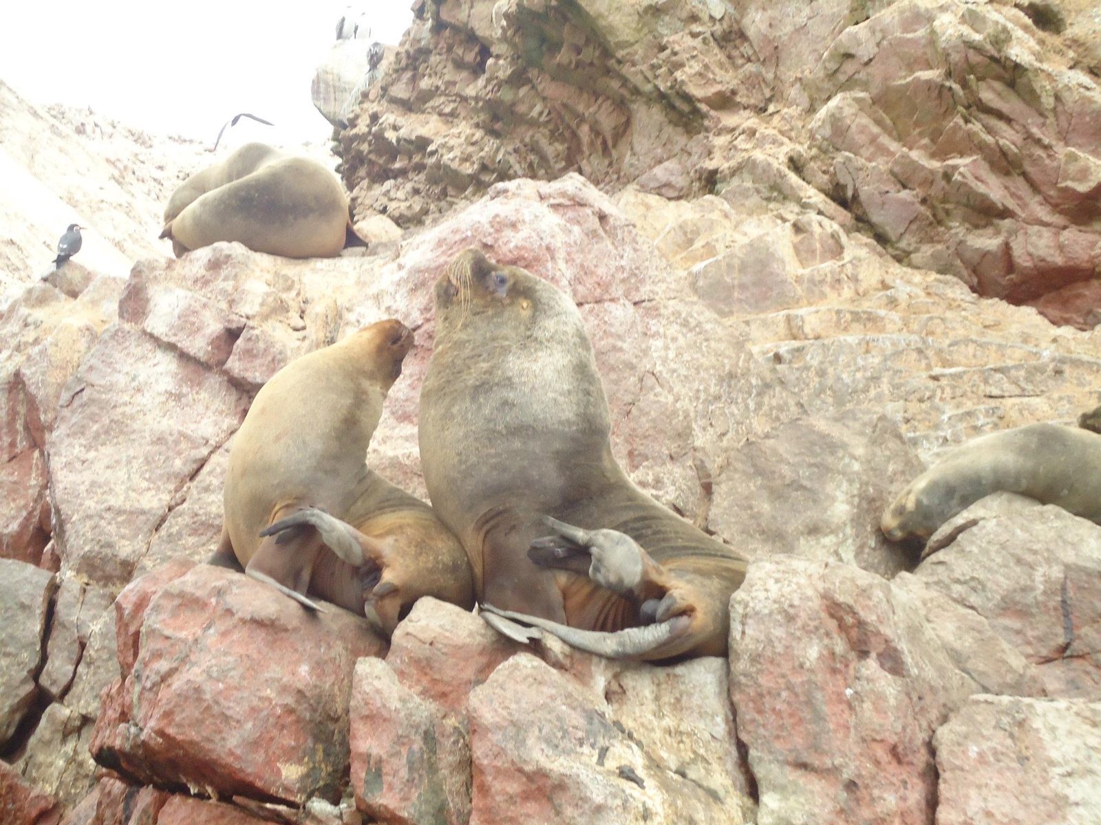
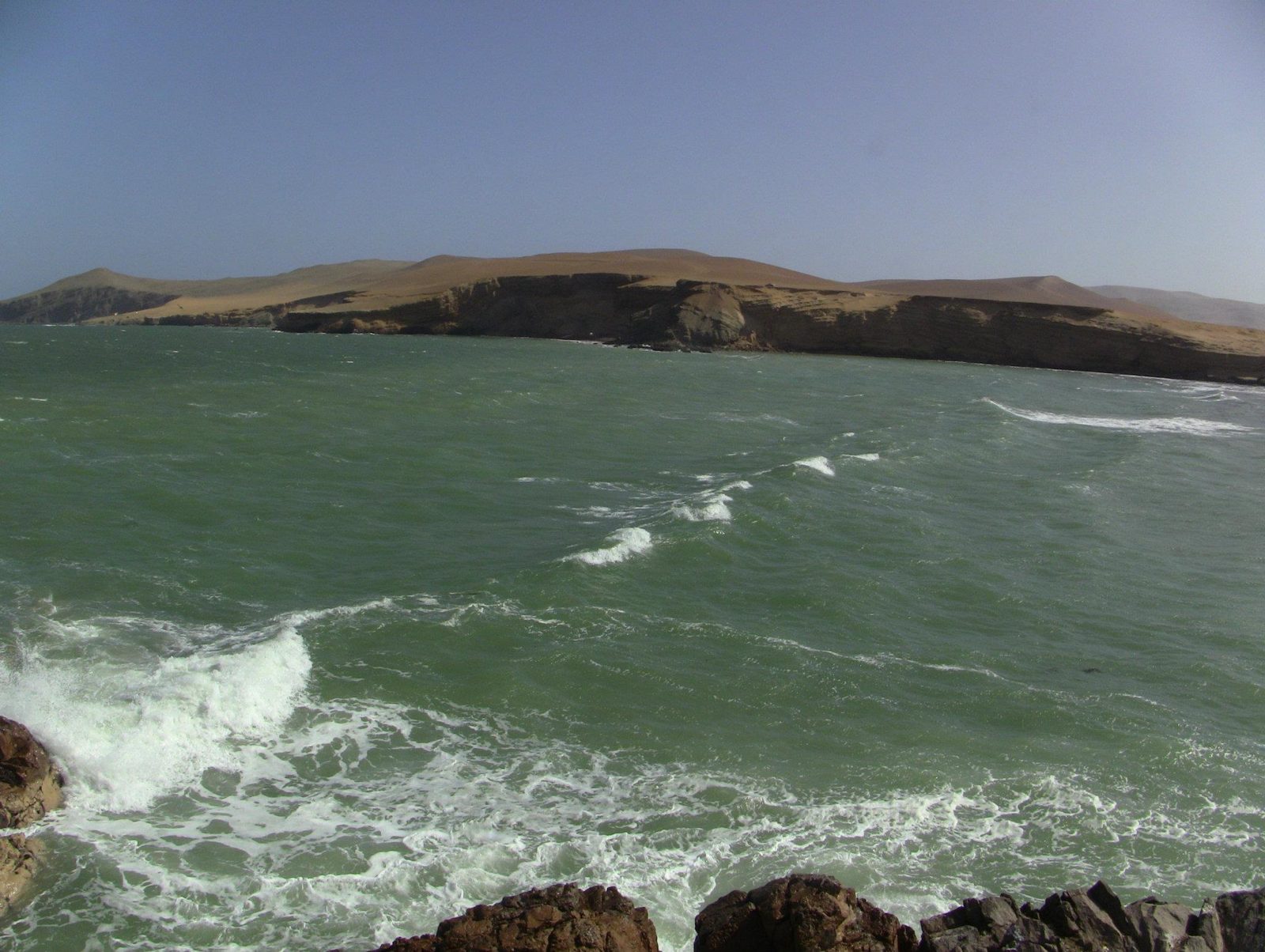
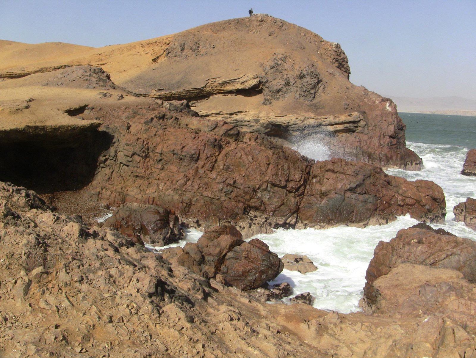
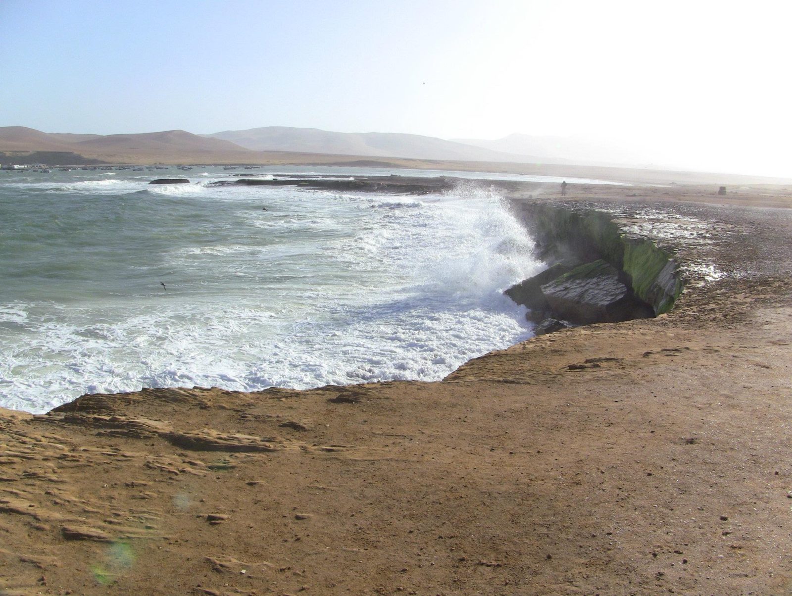
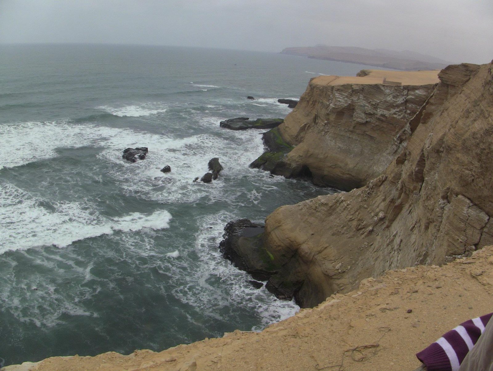
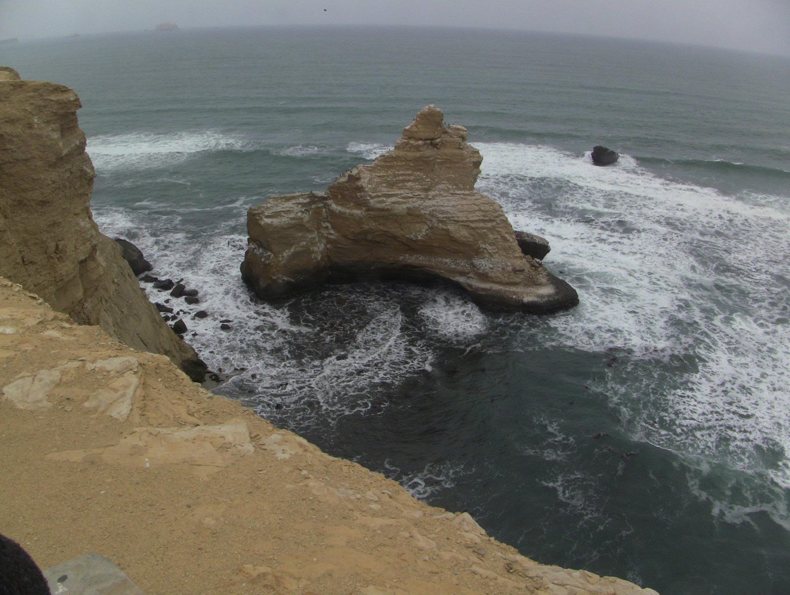
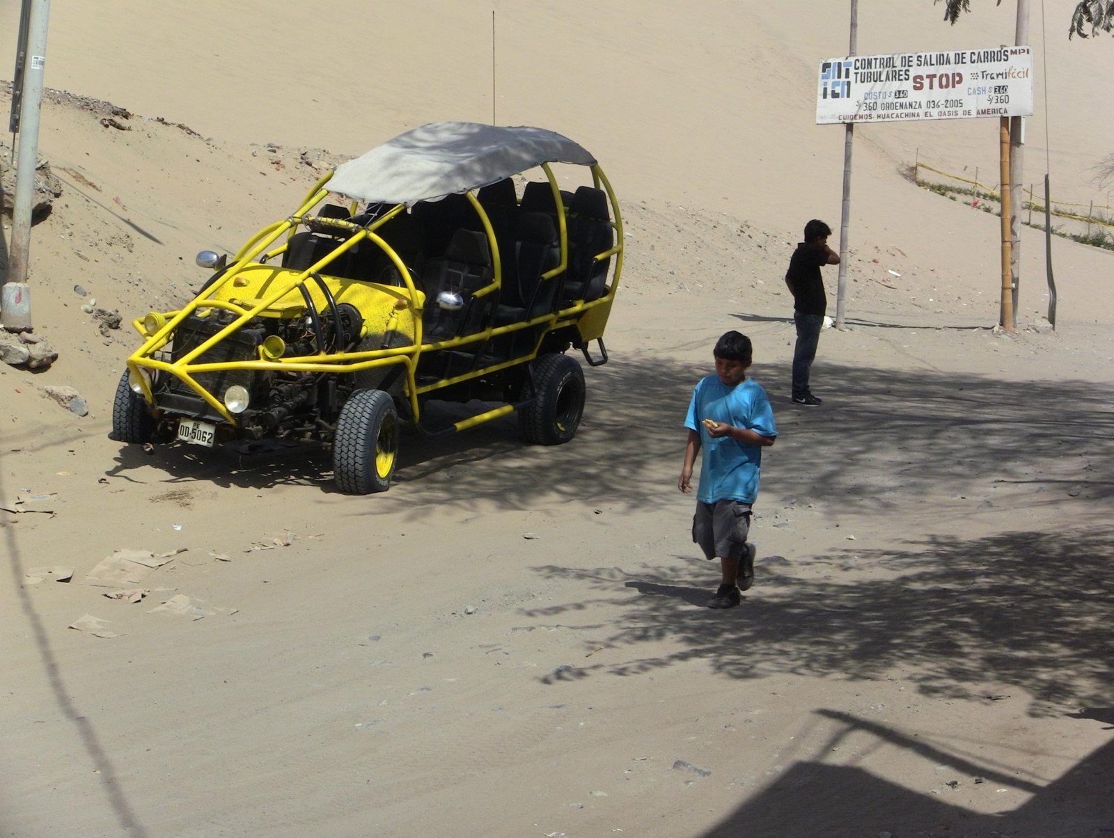
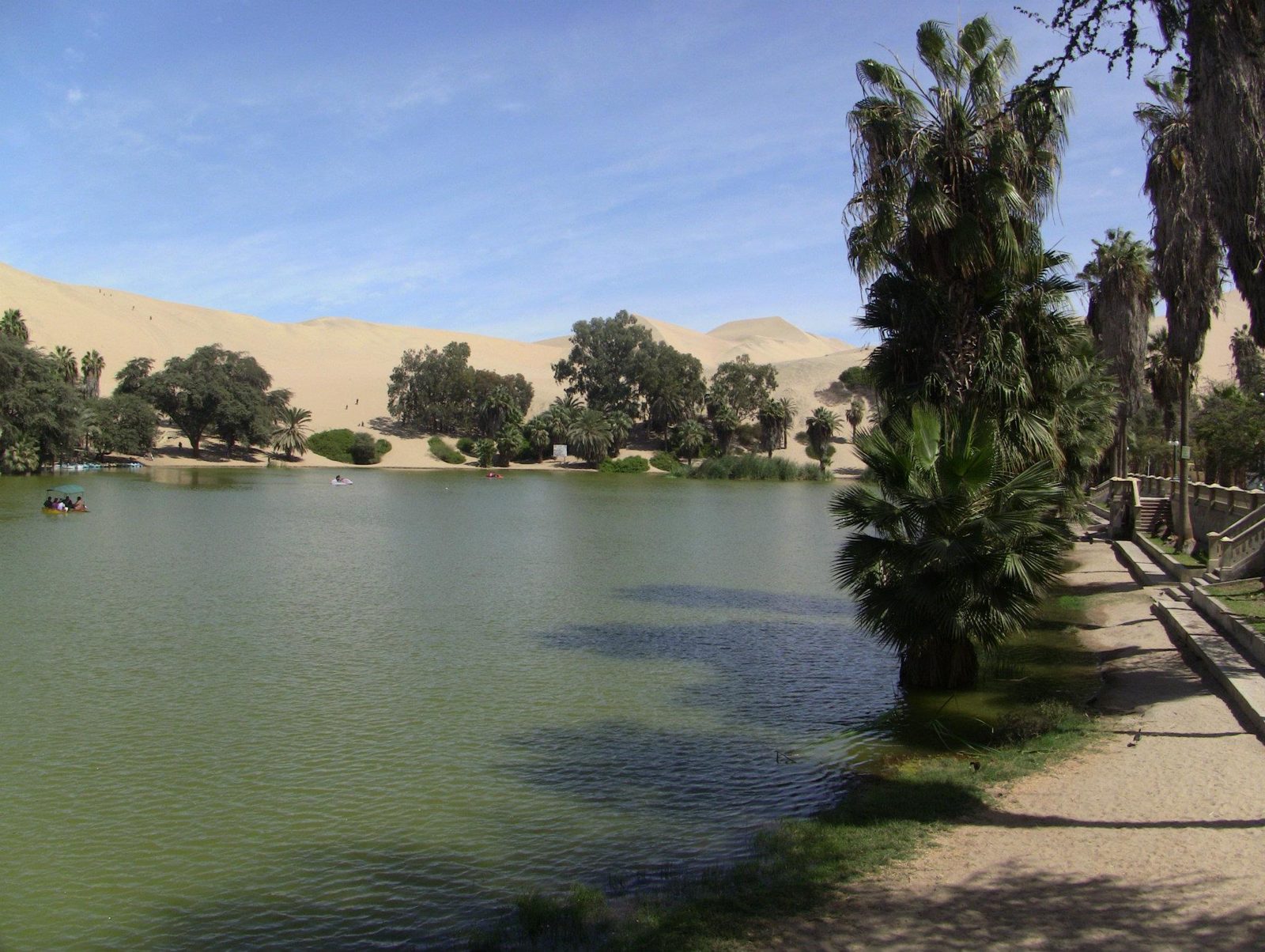
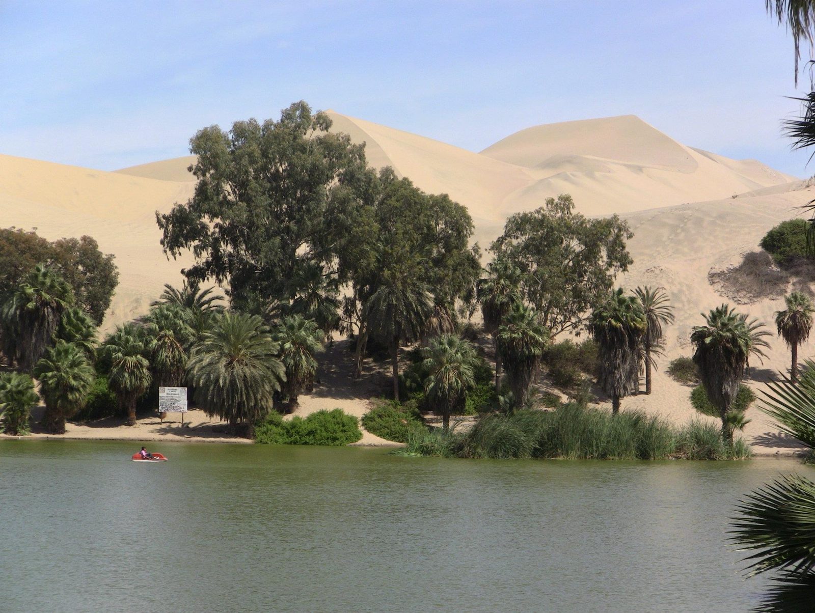
A sea arch on the Ballestas tour. In the 19th century guano from islands like these was one of Peru's main exports.Data: Protected: 1975 (national reserve)Waiting for the Ballestas boat. The islands belong to the Guano Islands, Islets and Capes reserve system.An old guano pier. Seabird droppings are still harvested here every few years, under strict control.Seabird cliffs. Upwelling in the cold Humboldt Current makes these some of the richest fishing waters in the world.A sea lion. The area also shelters Humboldt penguins, and flamingos feed in Paracas Bay.South American sea lions; adult males can weigh up to about 350 kg.More sea lions. Paracas National Reserve was created in 1975 and covers both desert and sea.The reserve's desert coast: some 335,000 hectares, roughly two-thirds of it sea.Wave-cut cliffs. On this peninsula Julio Tello found the Paracas necropolis in the 1920s, with its elongated skulls.Surf on the reserve coast. The name Paracas is often said to come from strong local winds that carry sand.Sea stacks. La Catedral, the reserve's famous rock arch, collapsed in the 2007 Pisco earthquake.Desert meets Pacific. Nearby, the Candelabra geoglyph, about 180 m tall, is cut into a sandy slope; its date is unknown.Dune buggy at Huacachina. The dunes around the oasis rise to roughly 100 m.The Huacachina lagoon, now topped up artificially as the natural water table has dropped.Palms and dunes around the oasis, once pictured on a Peruvian banknote.
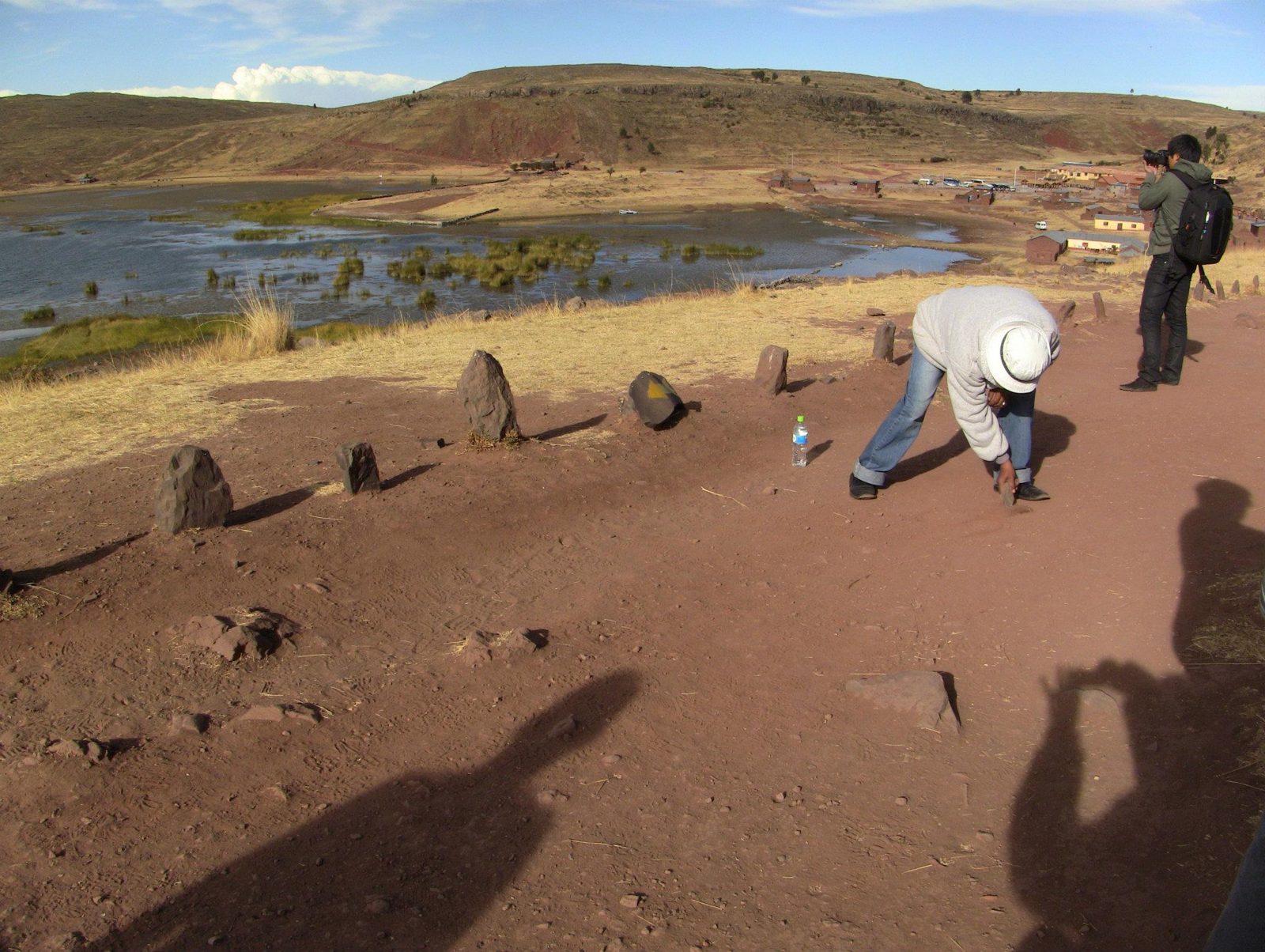
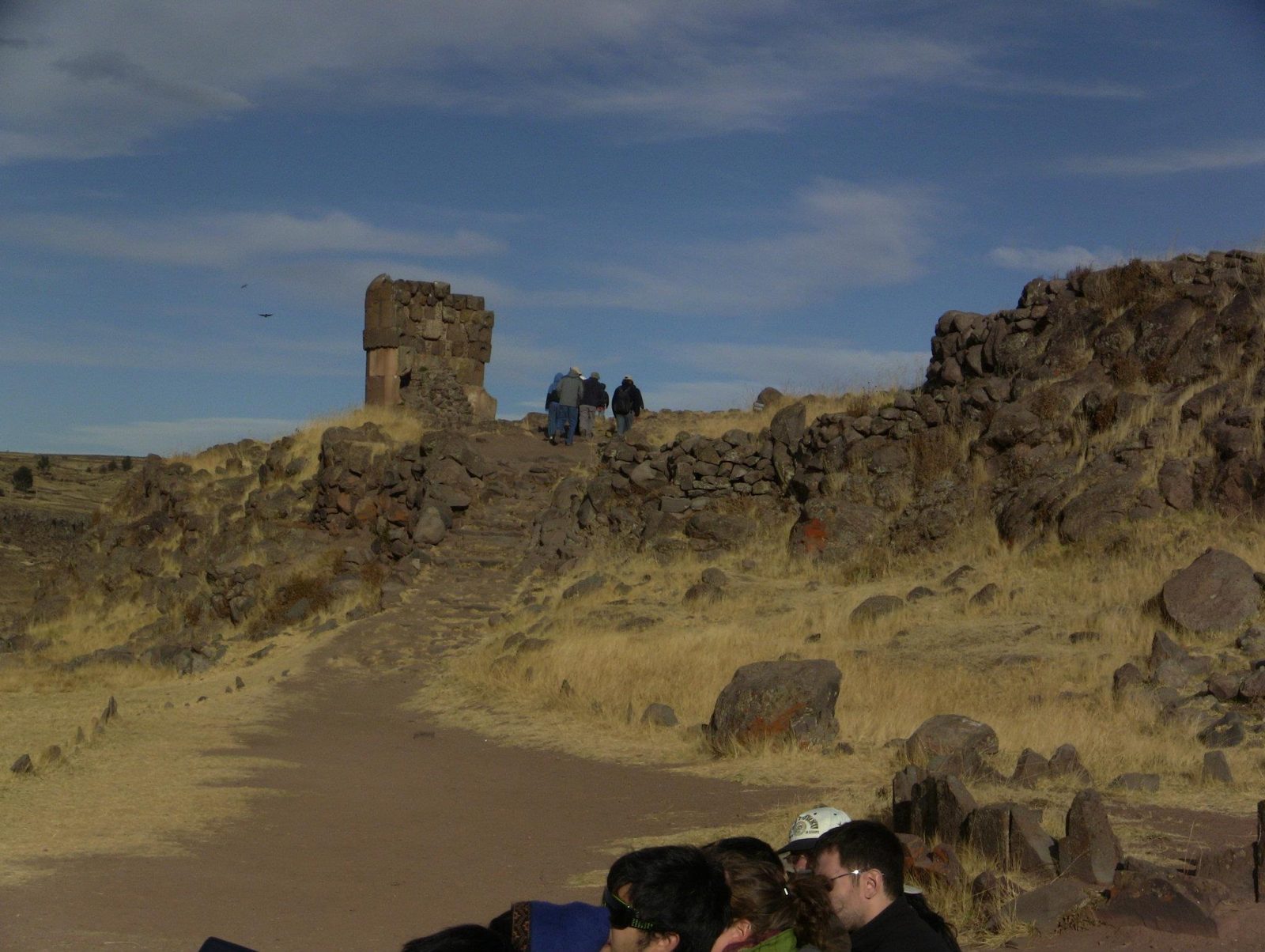
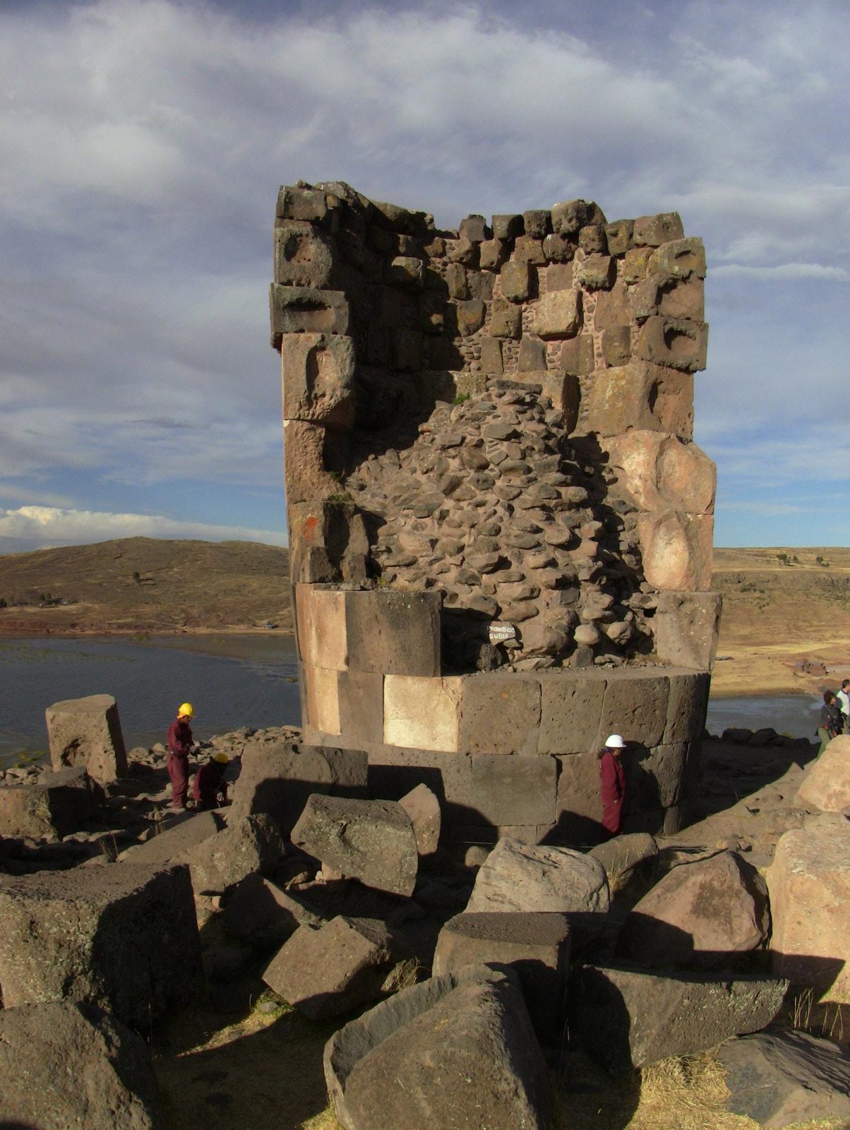
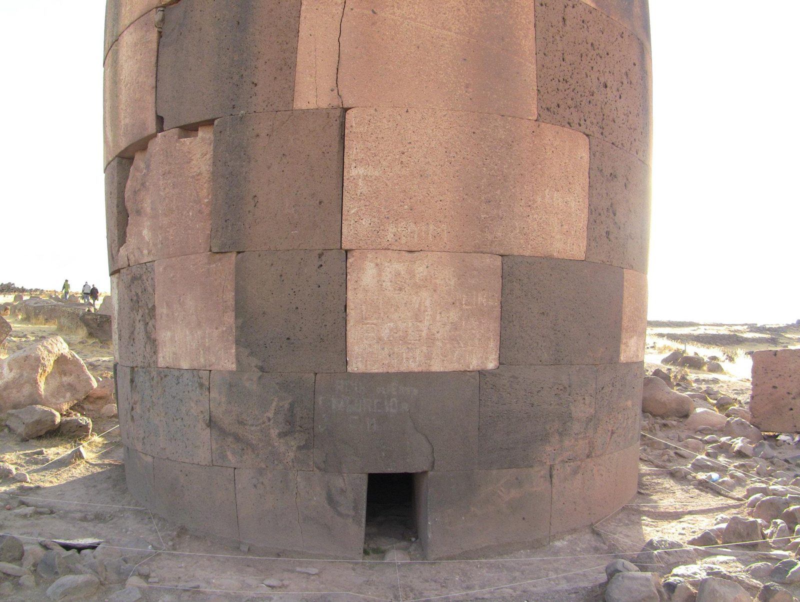
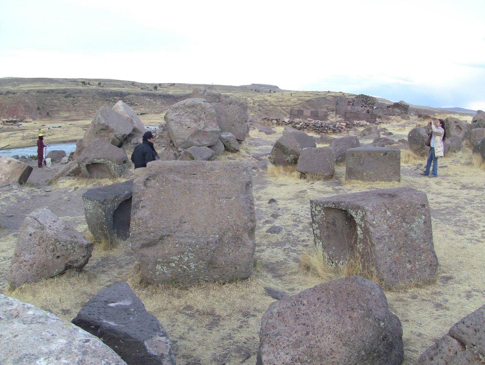
Why would anyone build a tower that is wider at the top than at the bottom?
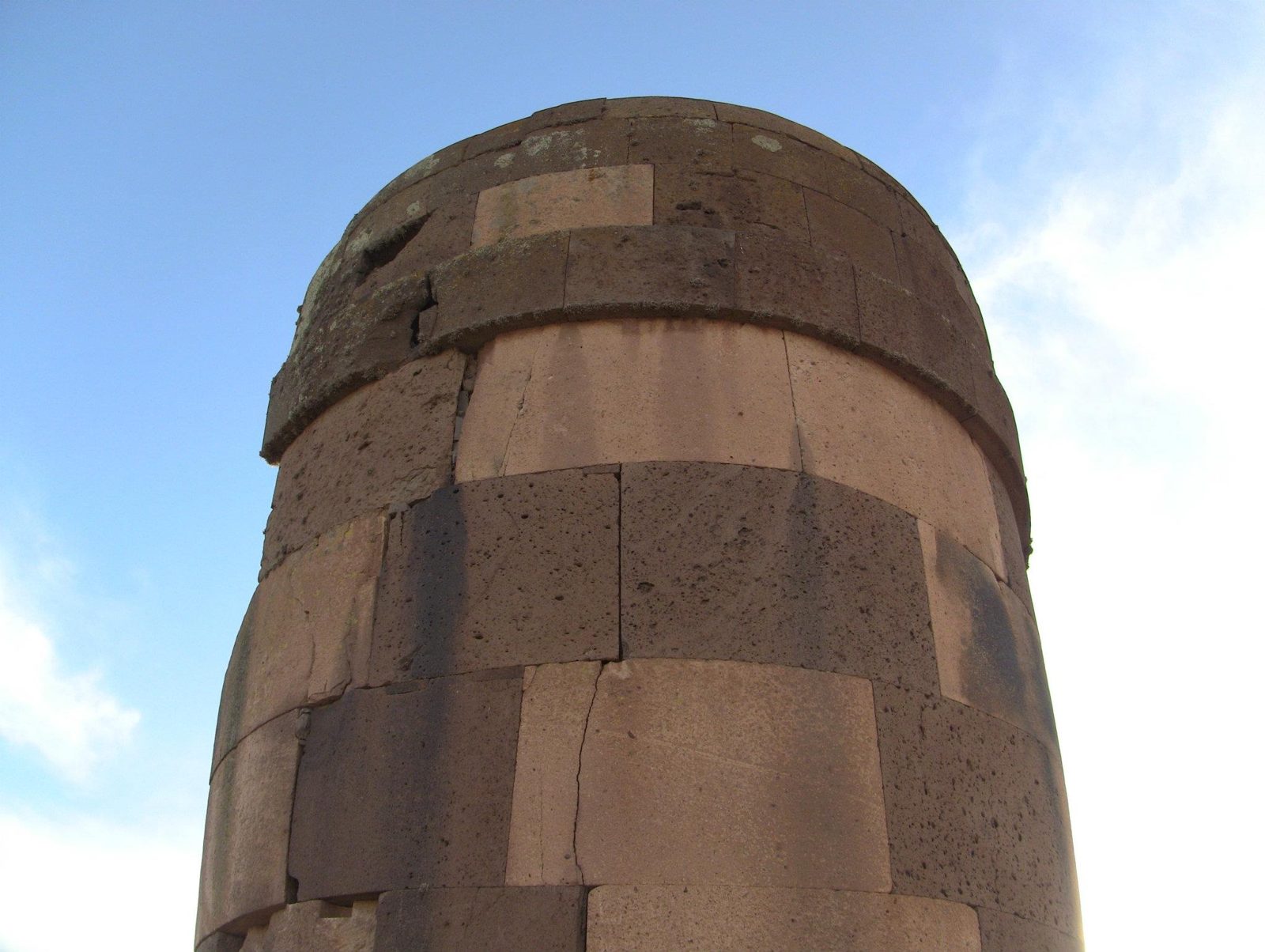
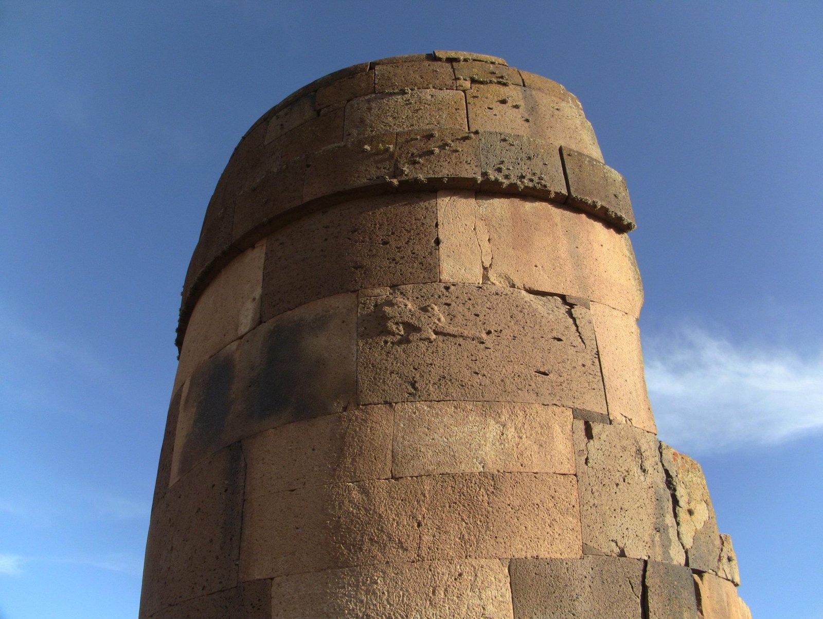
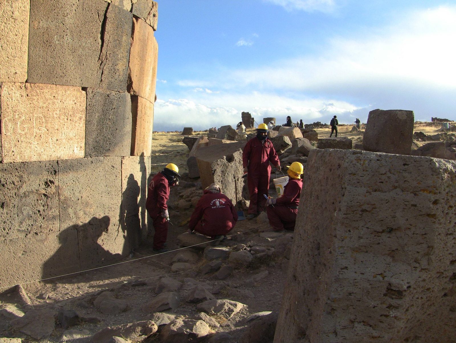
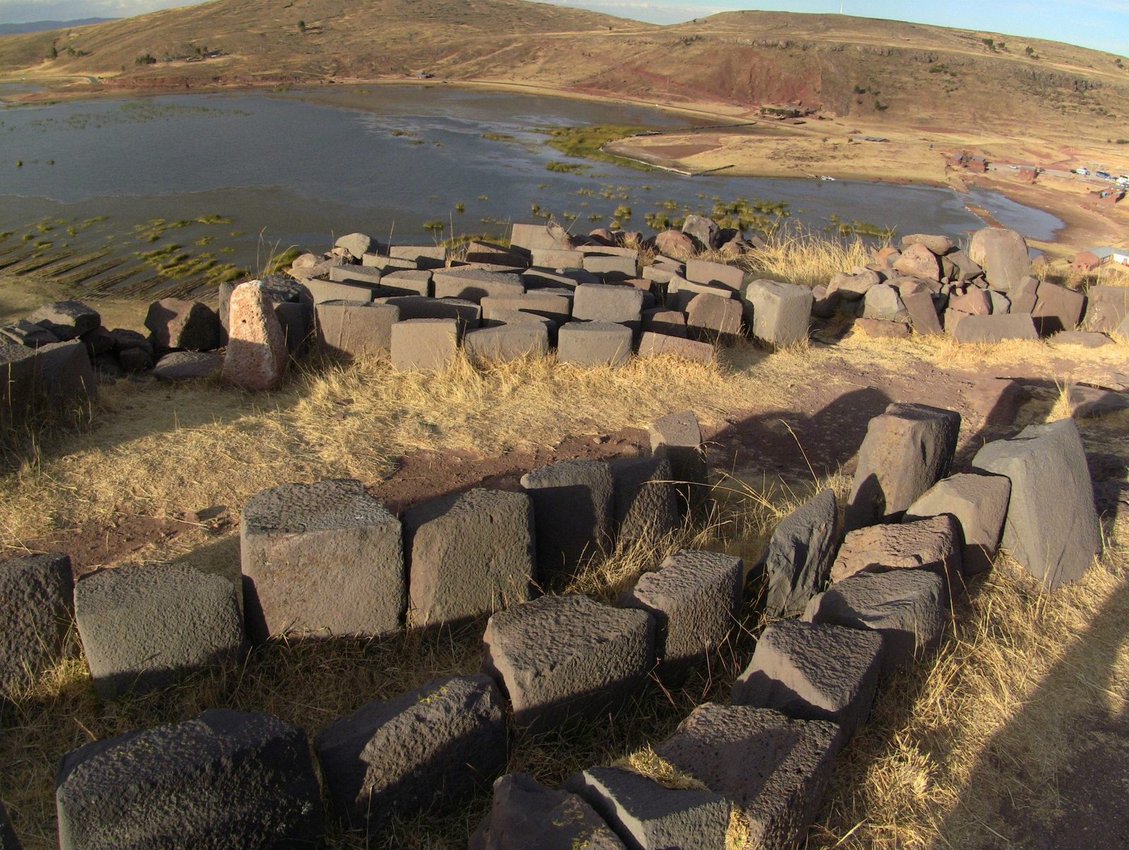
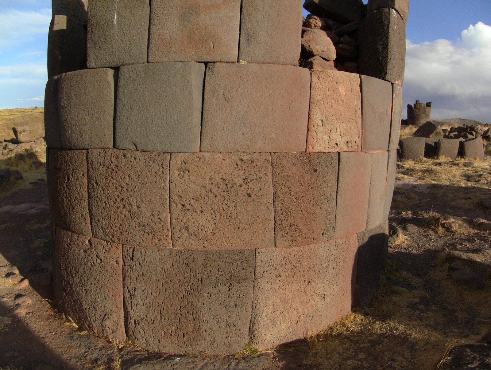
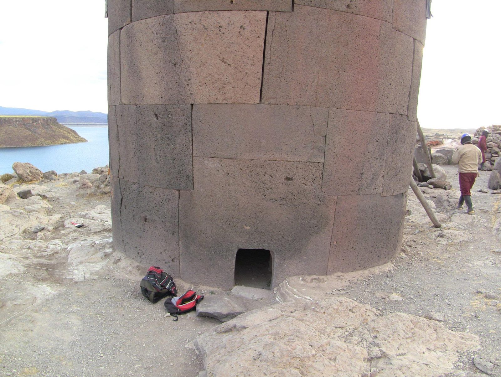
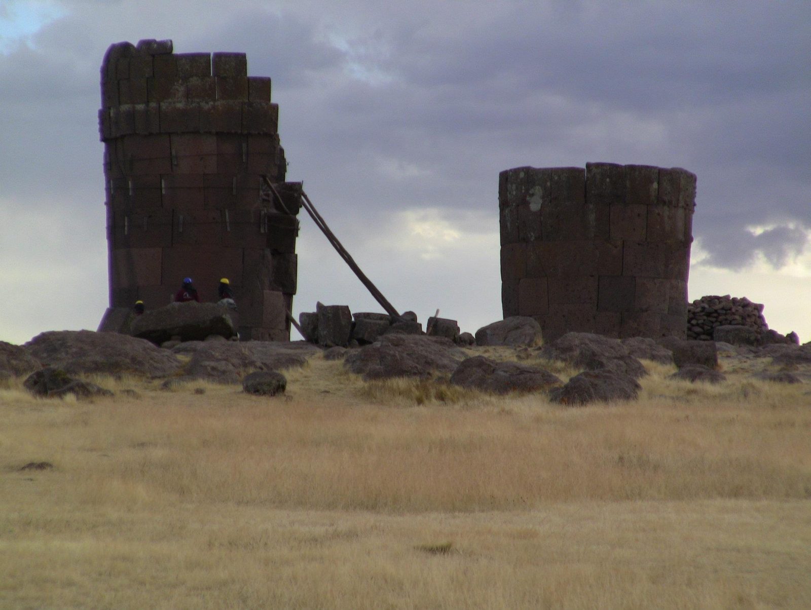
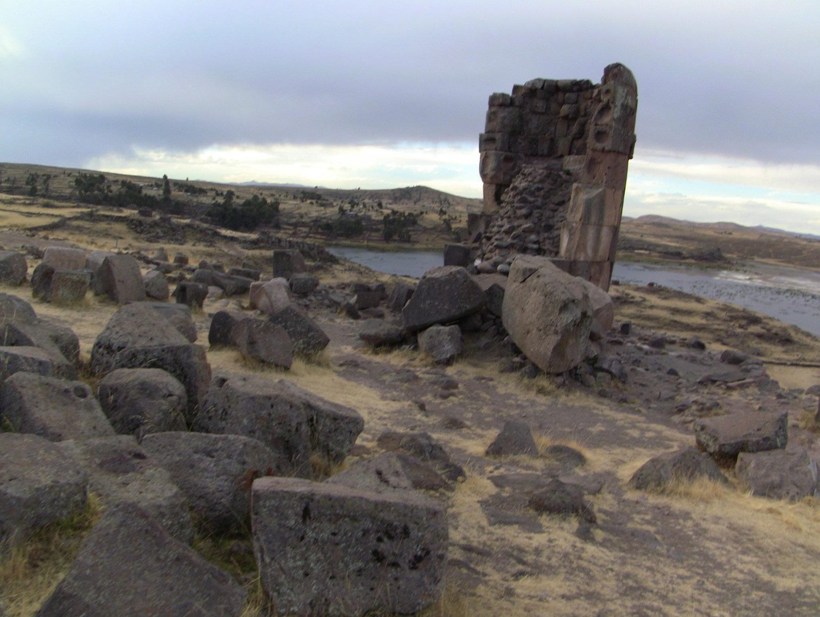
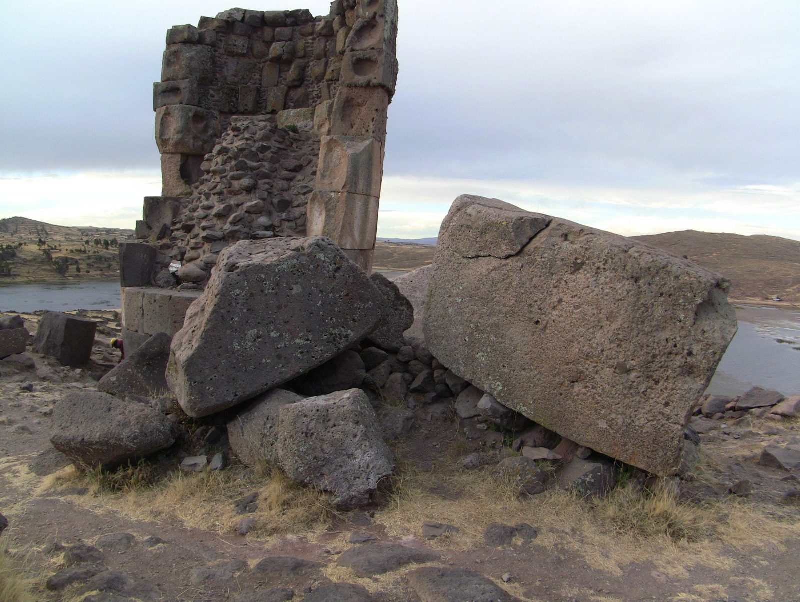
A chullpa wider at the top than the base. The tallest towers at Sillustani reach about 12 m.Data: Culture: Colla, later Inca · Built: from the 13th century · Tallest tower: 12 mThe Sillustani peninsula above Lake Umayo, at about 3,900 m.Funerary towers for Colla nobles on the altiplano skyline, mostly built c. AD 1200–1500.A ruined tower reveals the trick: the fine facing is only skin-deep over a rough core.Each block's outer face was cut to the curve of the tower. How the smooth finish was achieved is still discussed.One of the tallest towers. One chullpa here bears a carved lizard, often read as a symbol of life and water.Among the towers. One tower was left unfinished with its earth ramp in place, a clue to how blocks were raised.Collapsed blocks, probably from earthquakes and from looters breaking towers open in search of grave goods.Tight Inca-style masonry: the Inca took over the site after conquering the Colla in the 15th century.The tiny entrance at the base; entrances here are usually said to face east, toward sunrise.Two towers above Lake Umayo. A 2005 restoration used ramps and pry bars, the simple methods thought to have built them.Fallen facing stones. Open question: exactly how were blocks lifted 10 m or more? The ramp on the unfinished tower is the best clue.A broken tower: fine facing over rubble fill, a technique also common in Inca walls.The burial ground toward the lake. Simpler, older tombs here predate the Inca towers.
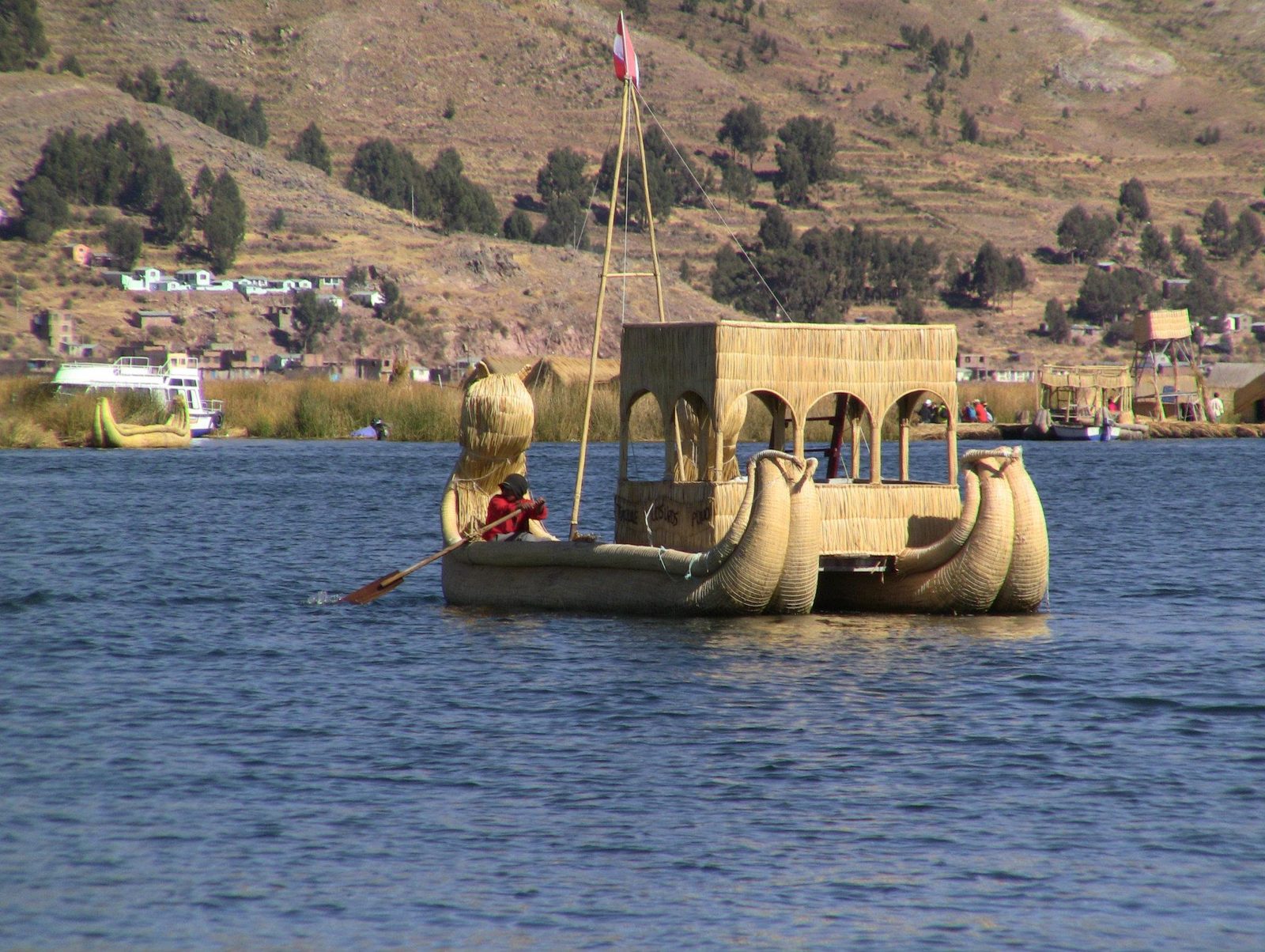
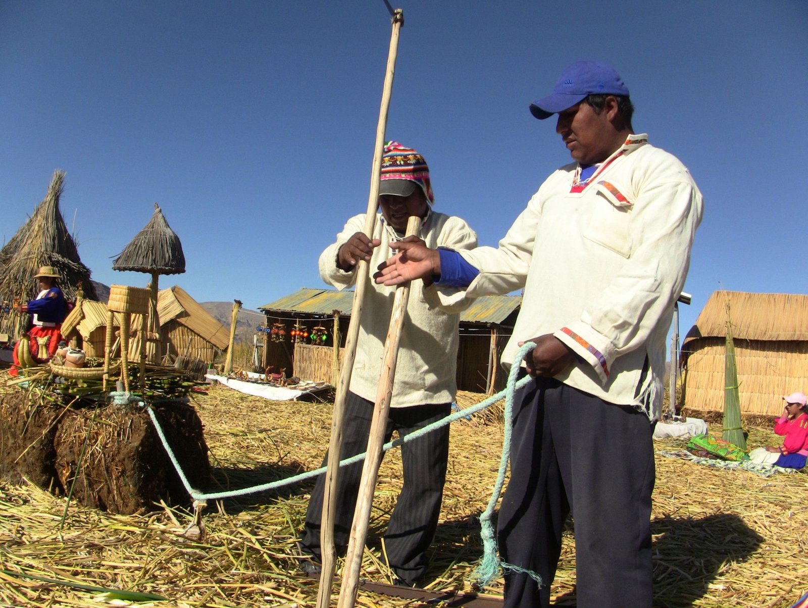
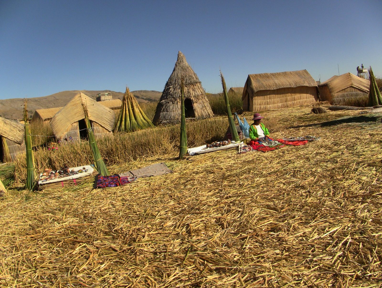
Andean myth says the sun itself was born from this lake.
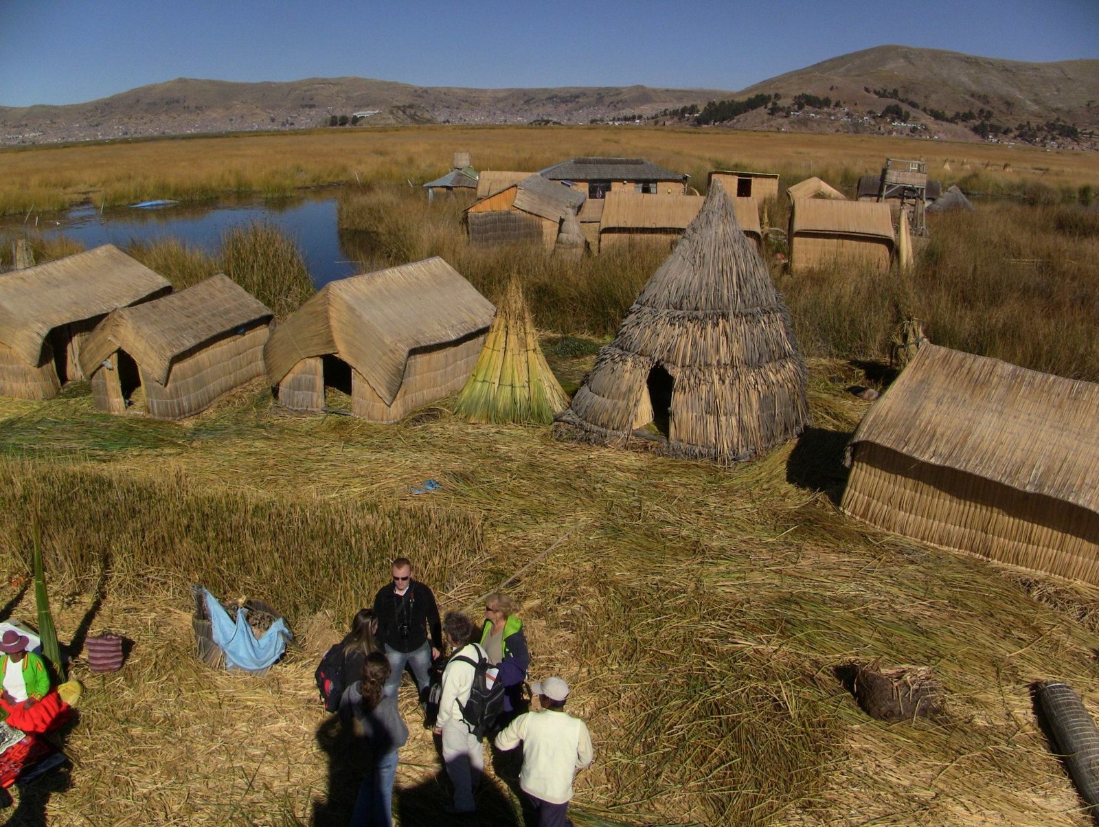
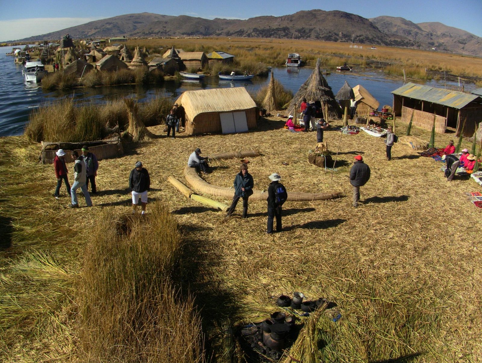
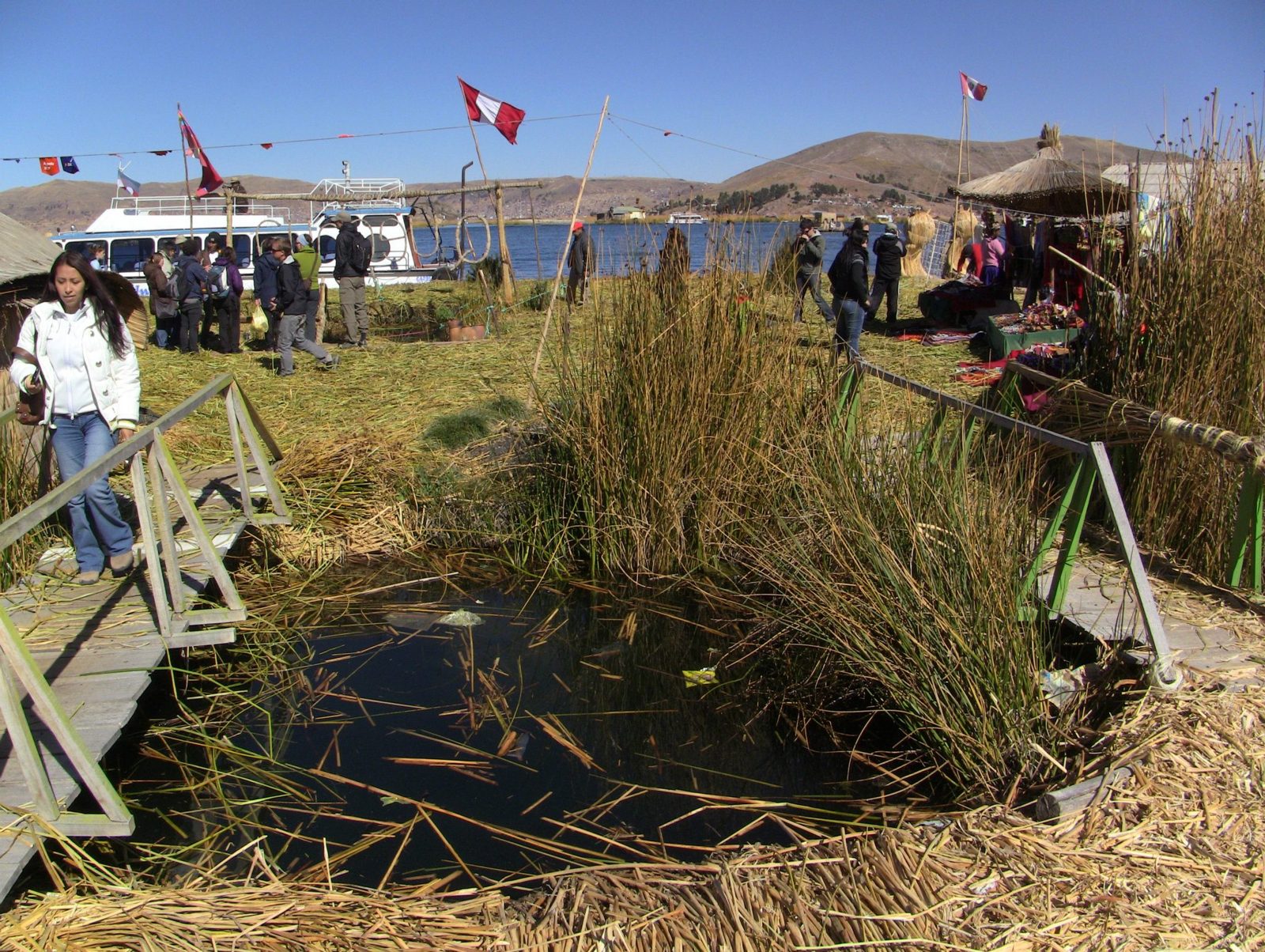
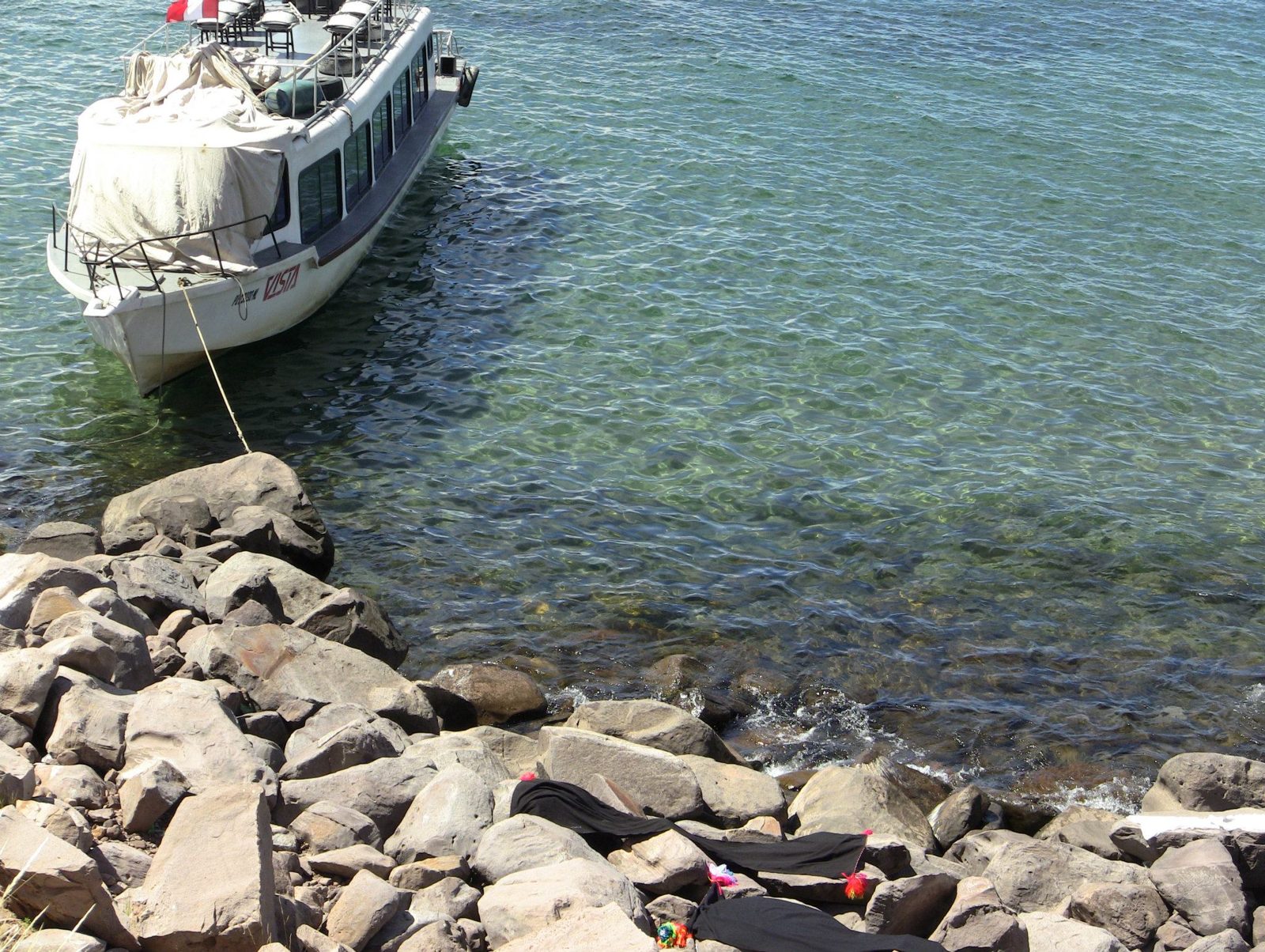
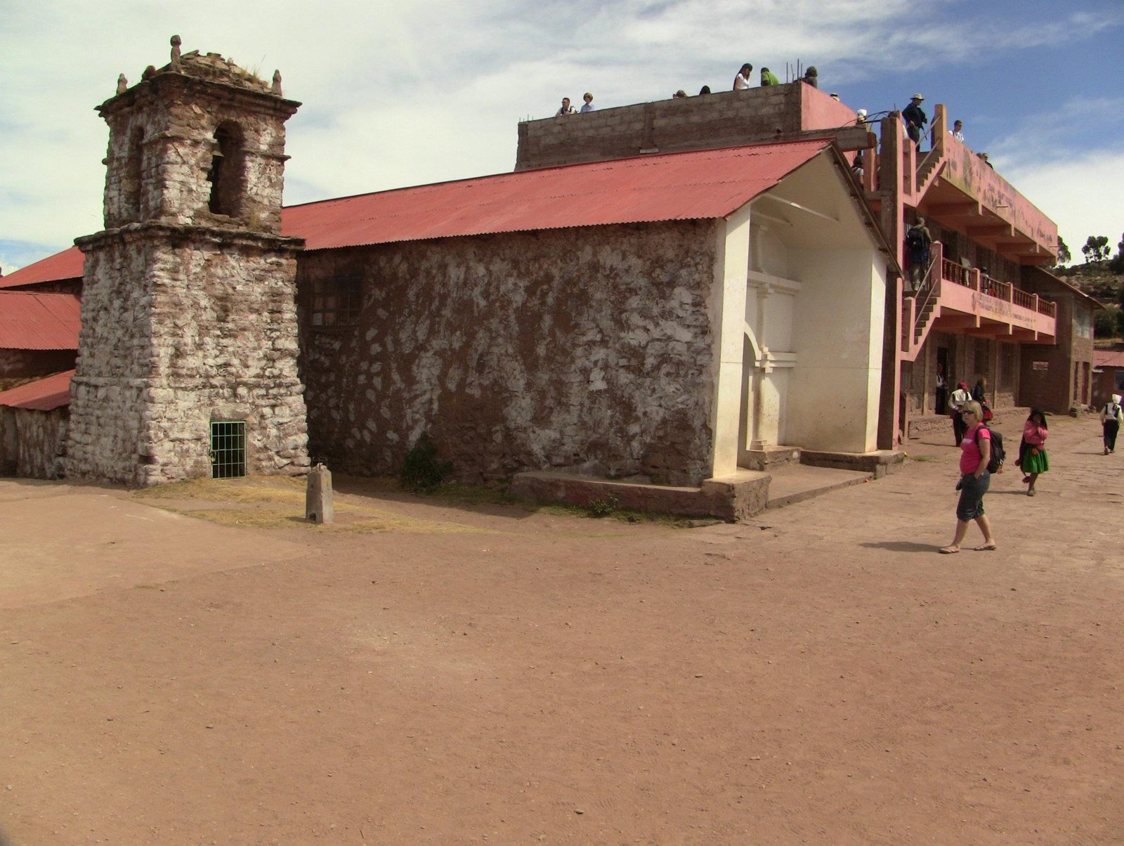
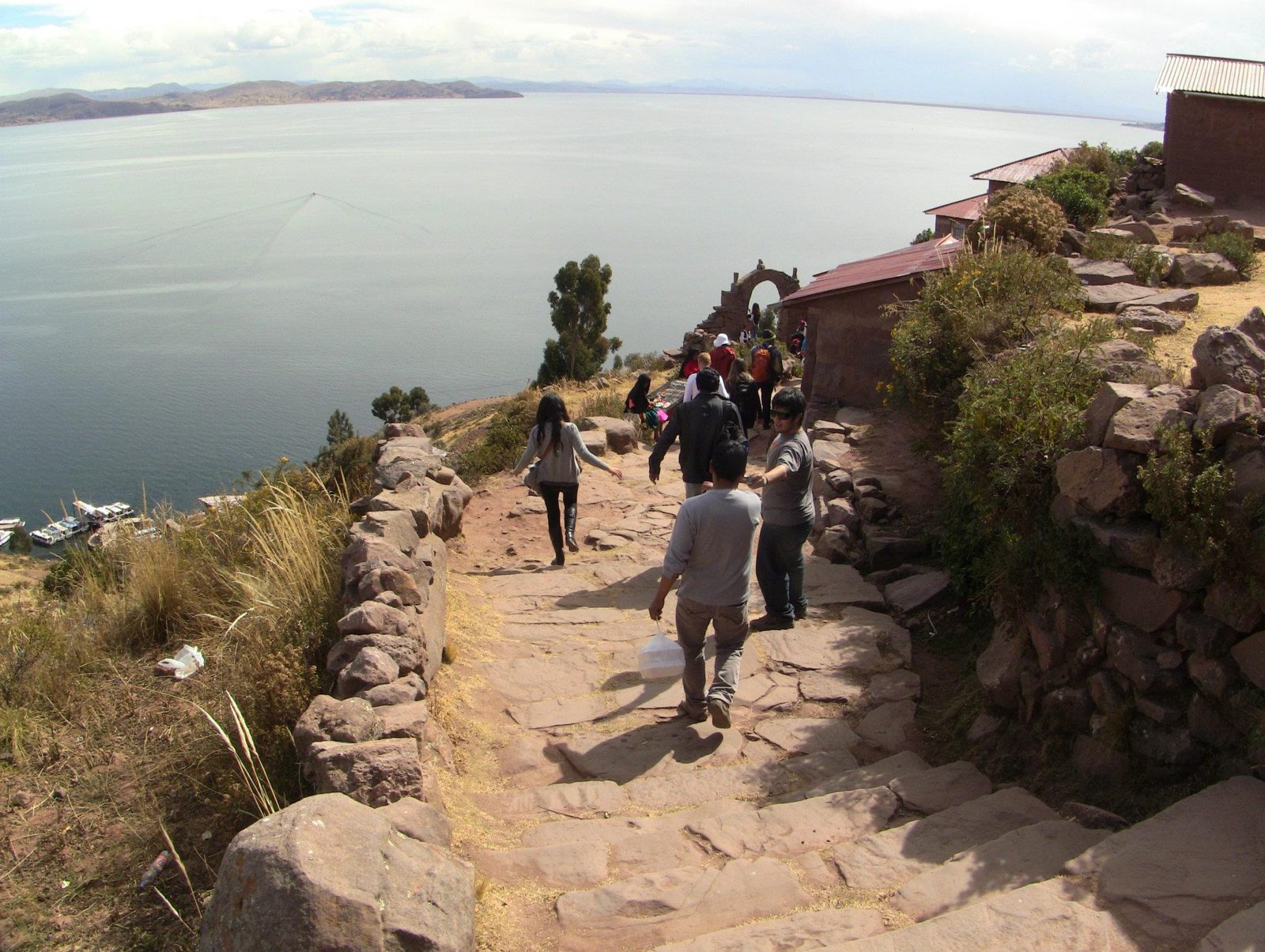
A totora reed boat. Aymara boatbuilders from Lake Titicaca built Thor Heyerdahl's reed boat Ra II in 1969–70.Data: Altitude: ~3,812 m · Area: ~8,372 km²Welcome on an Uros island. Lake Titicaca lies at about 3,812 m.Reed houses on an island built from layers of totora root blocks and cut reeds, a couple of metres thick.Daily life on the islands, dozens of which are now anchored in the bay off Puno.The springy surface: fresh reeds are added on top regularly as the lower layers rot.Fresh totora. The white lower part of the stem is also eaten.Lake Titicaca covers about 8,372 km², shared between Peru and Bolivia.A stone church by the lake. Nearby Juli, with its four colonial churches, is nicknamed the "Little Rome of America".A path above the water, probably near Puno (exact spot not confirmed). Lake Titicaca's surface lies at about 3,812 m and covers some 8,372 km².A lakeside viewpoint. Andean myth names the lake as the birthplace of Manco Capac, the first Inca.
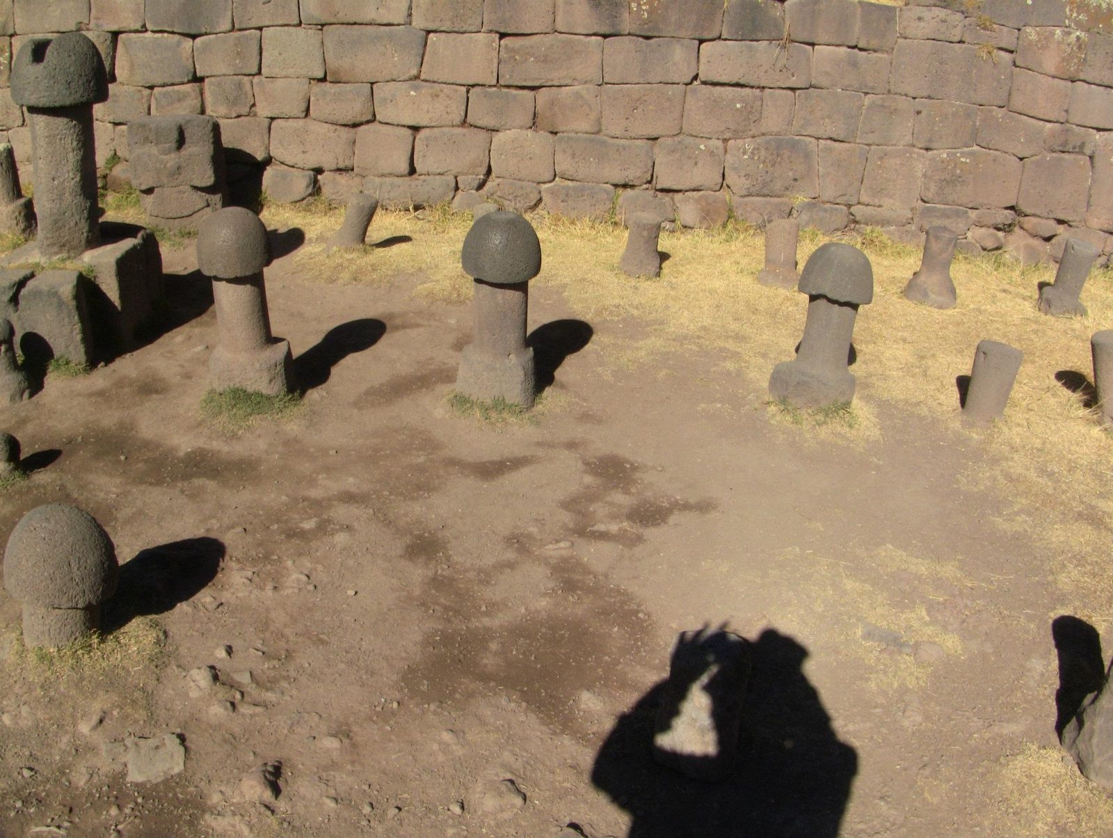
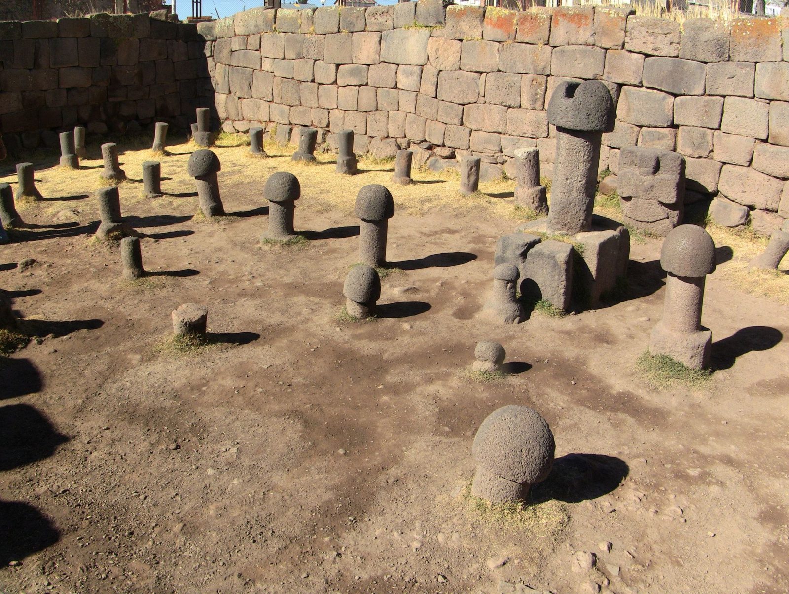
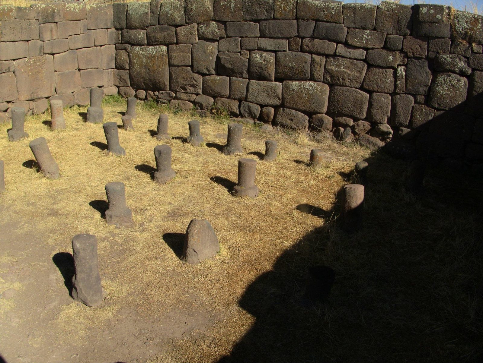
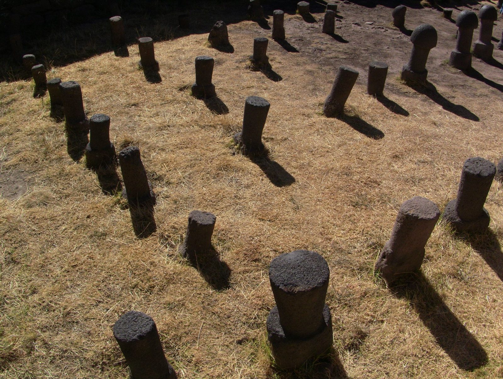
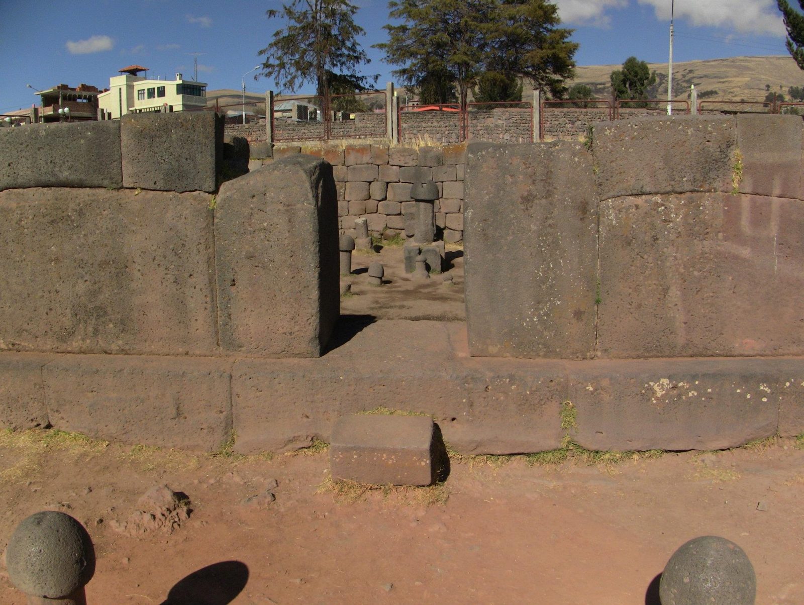
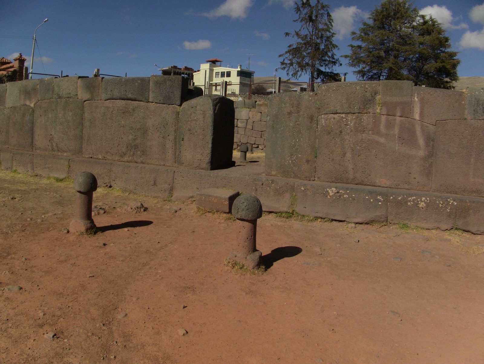
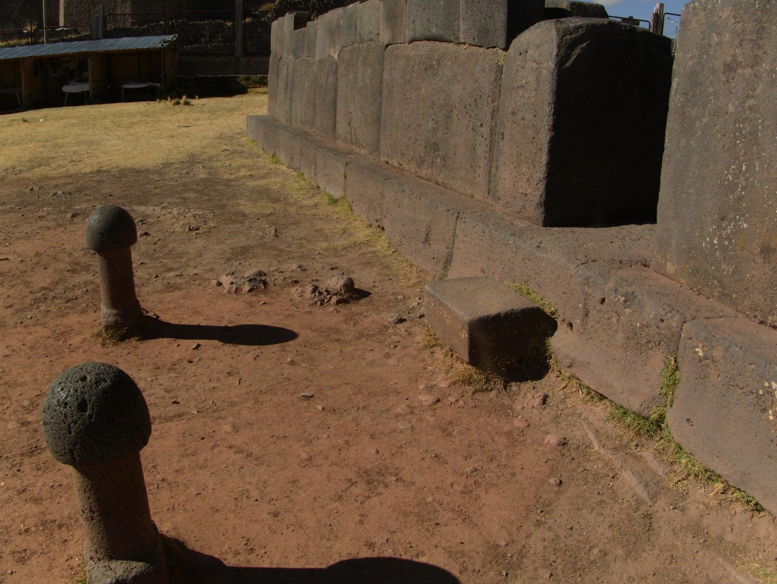
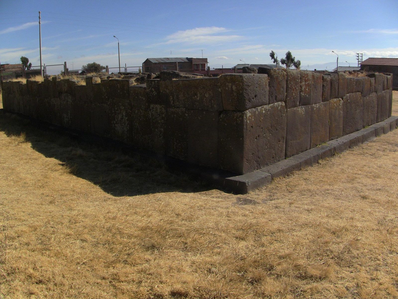
Dozens of stone phalluses stand upright inside a small walled enclosure by Lake Titicaca.
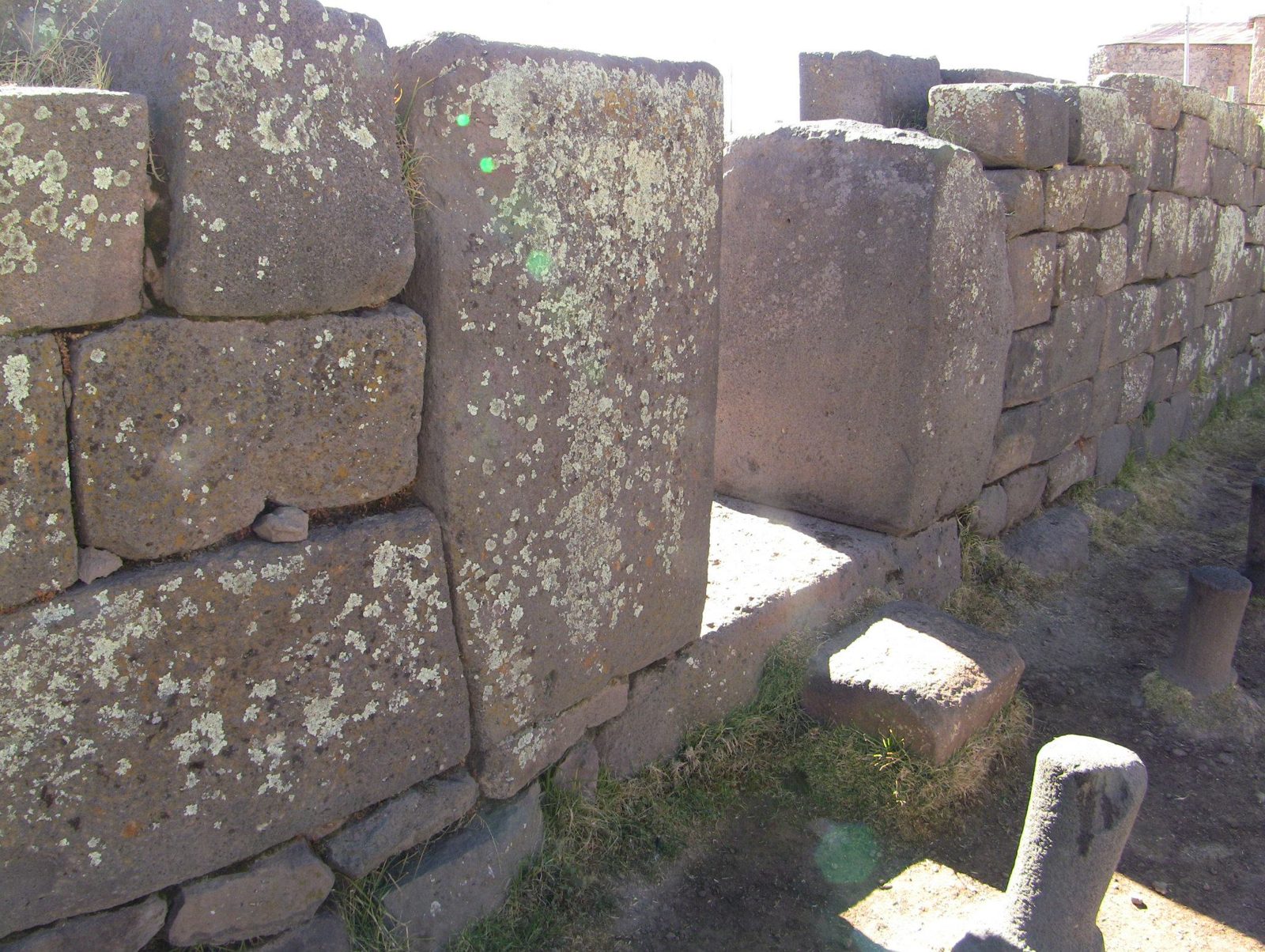
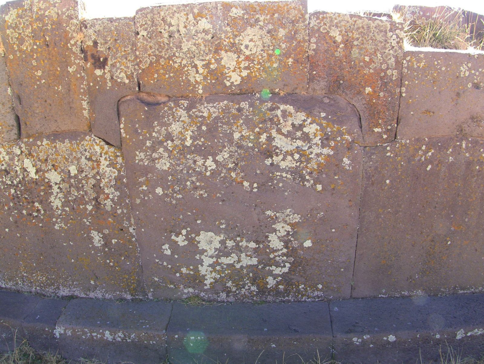
Rows of phallic stones, the reason for the nickname "fertility temple".Data: Outer wall: probably Inca · Stones: date disputedThe finely fitted outer wall is thought to be Inca work; the stones inside are another question.Upright stones. Several researchers argue many were carved or arranged in the 20th century for visitors.Afternoon shadows. Open question: were these stones ever a ritual set, or mostly a modern display? Researchers disagree.Many stones show little weathering compared with the wall, a key argument for a recent origin.The enclosure. Chucuito was the capital of the Lupaqa, an Aymara kingdom, before the Inca conquest.A single stone. Guides tell of women visiting the site in hope of fertility; the tradition's age is unknown.The walled courtyard in Chucuito, later a Spanish colonial town with its own churches.Fitted walls in Chucuito. The Lupaqa were absorbed into the Inca Empire in the 15th century.Lichen grows slowly, so heavy growth hints at long exposure; contrast it with the cleaner stones inside.
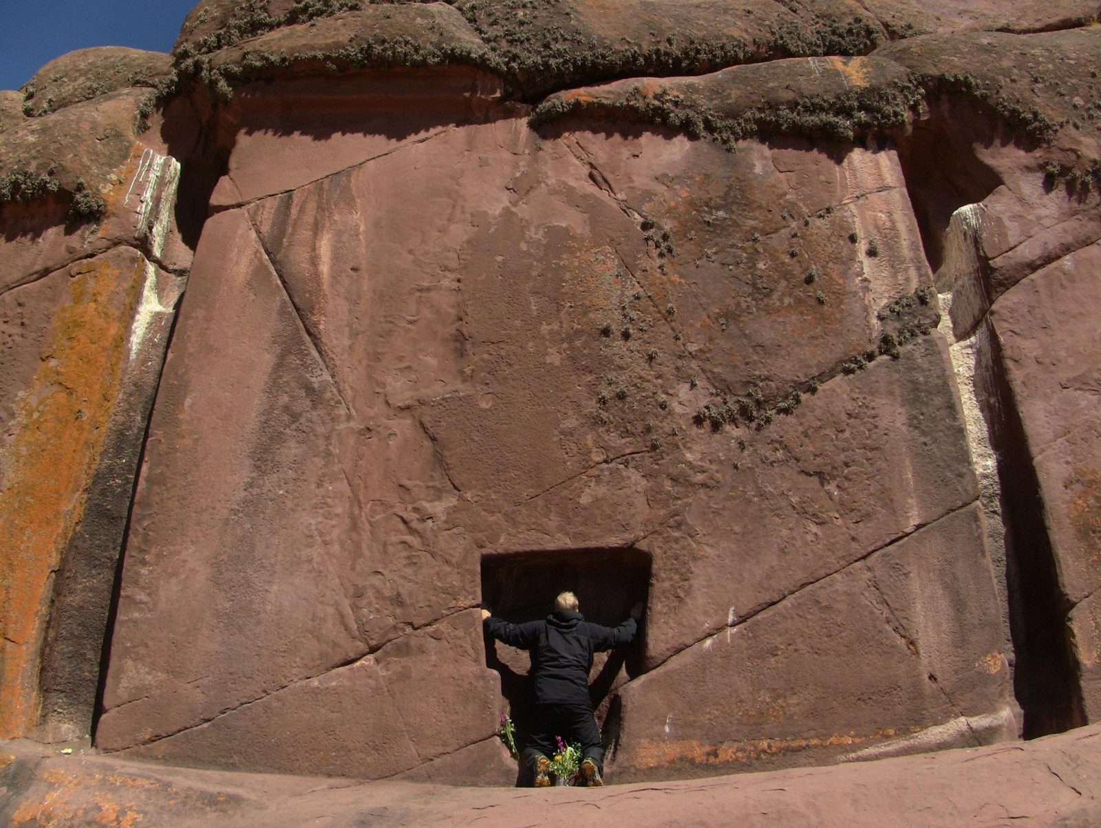
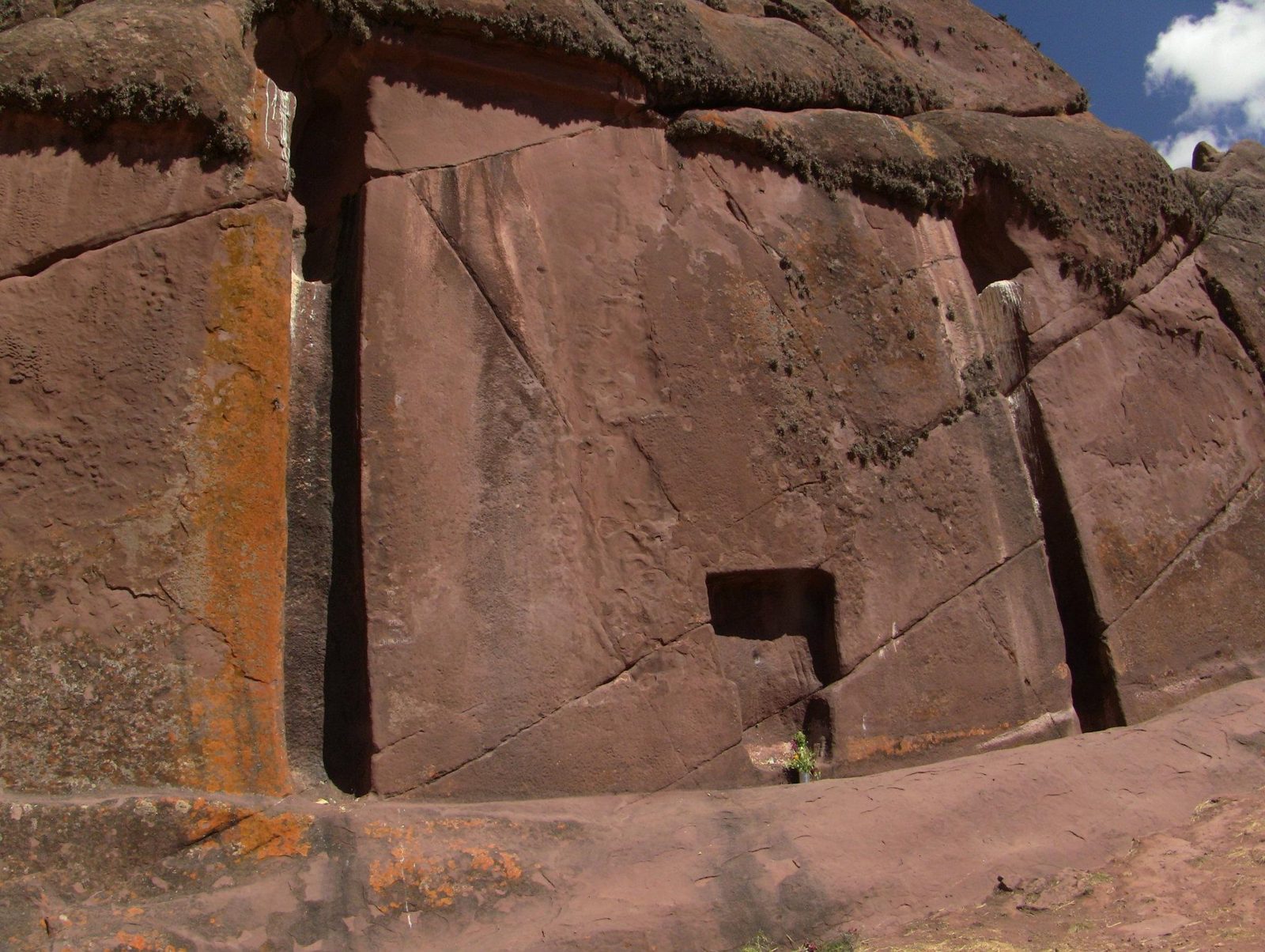
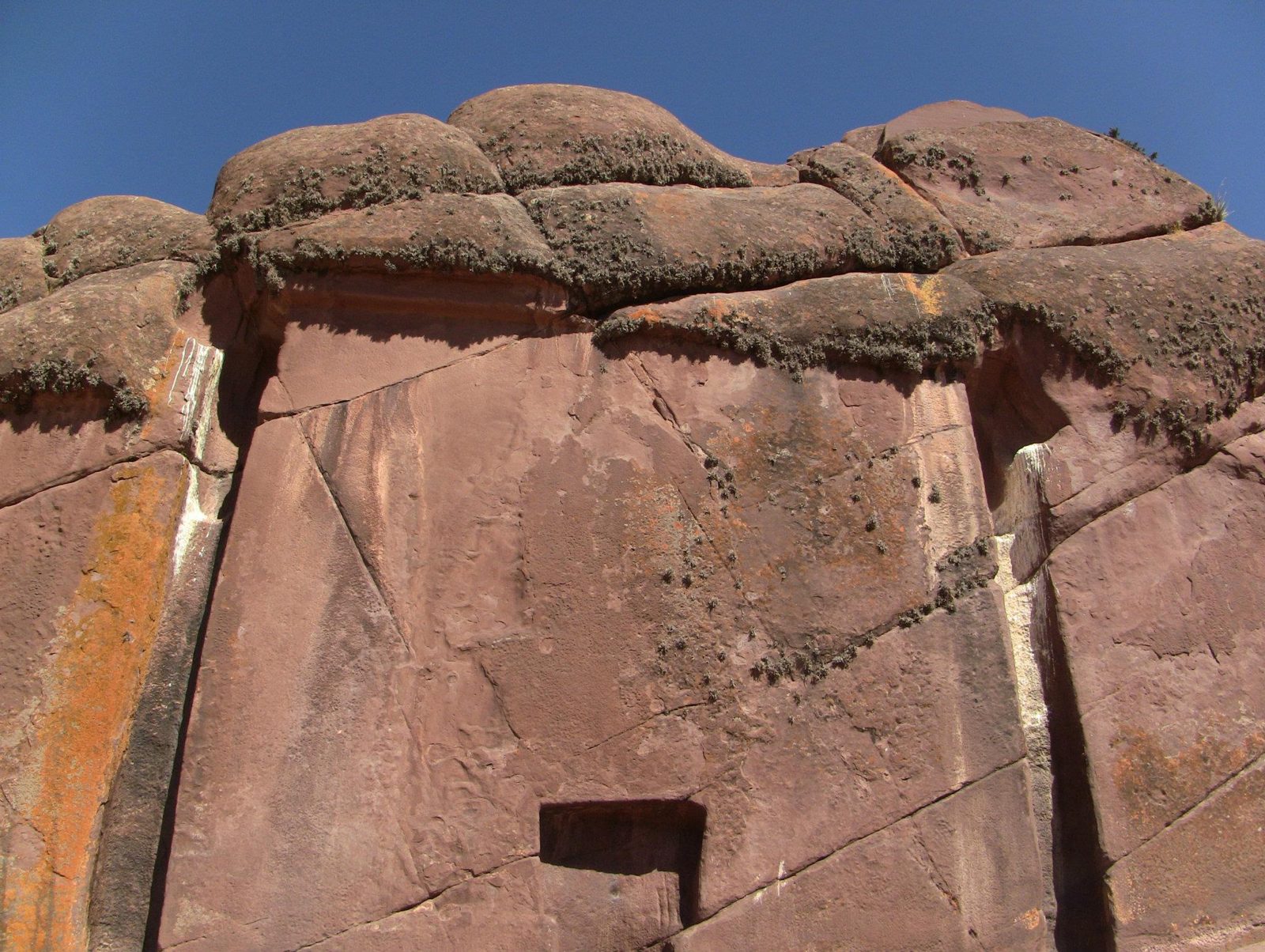
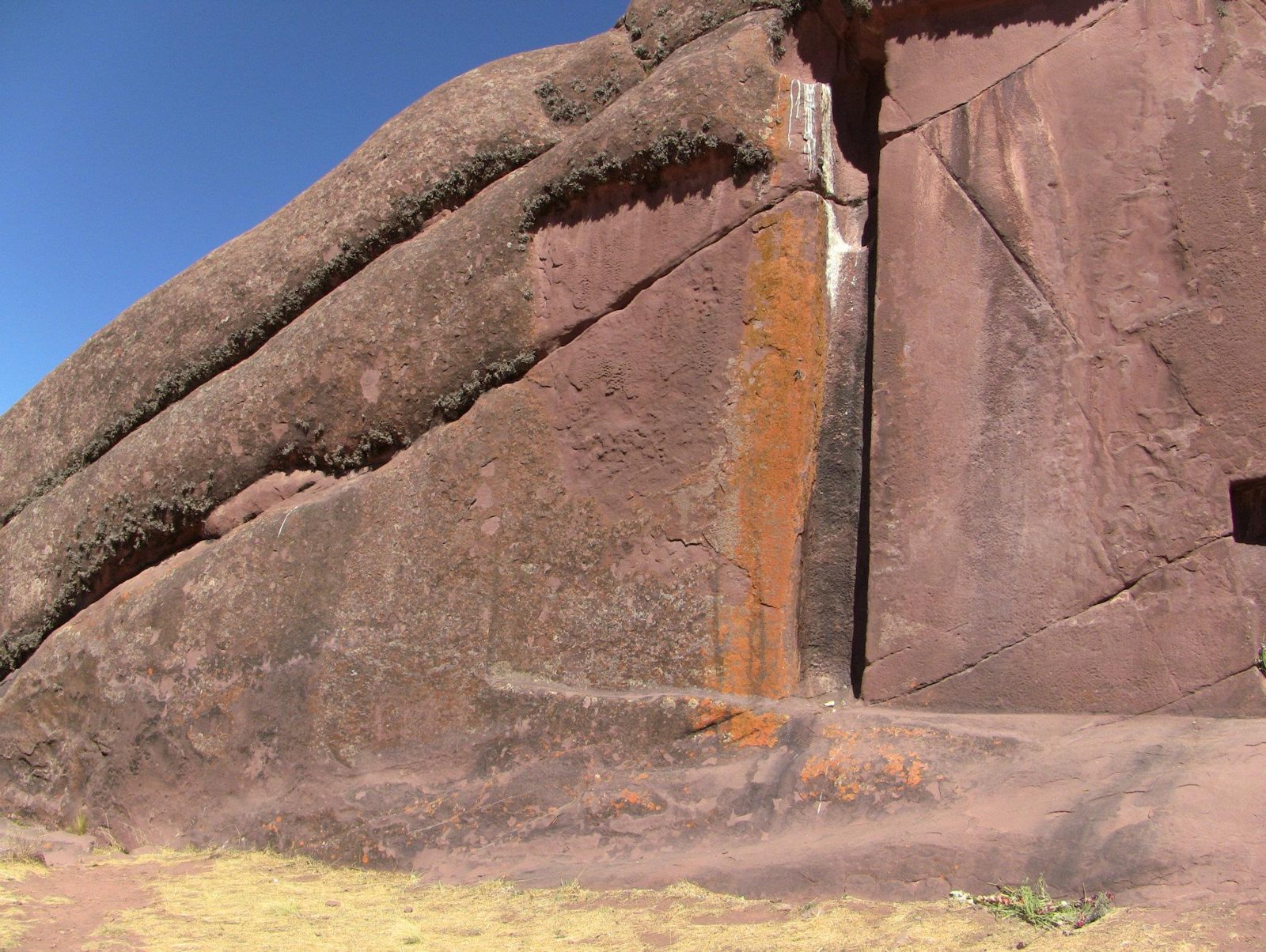
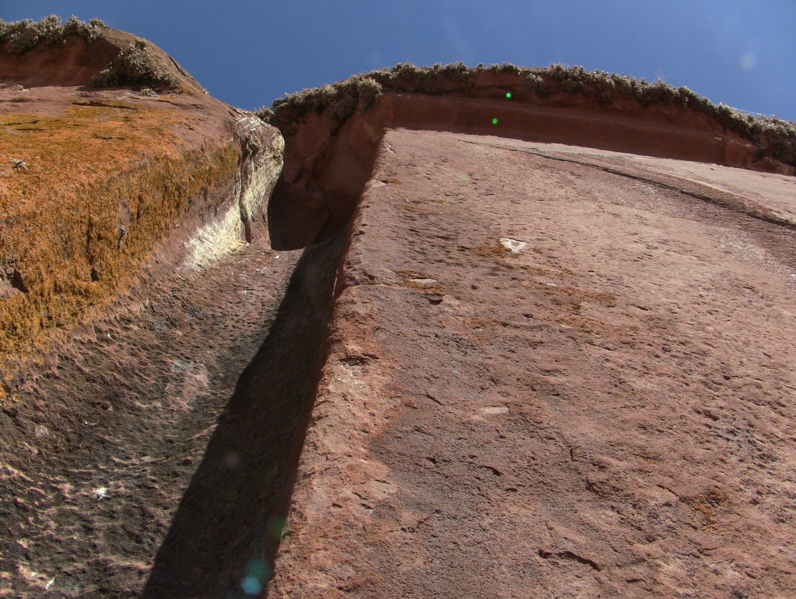
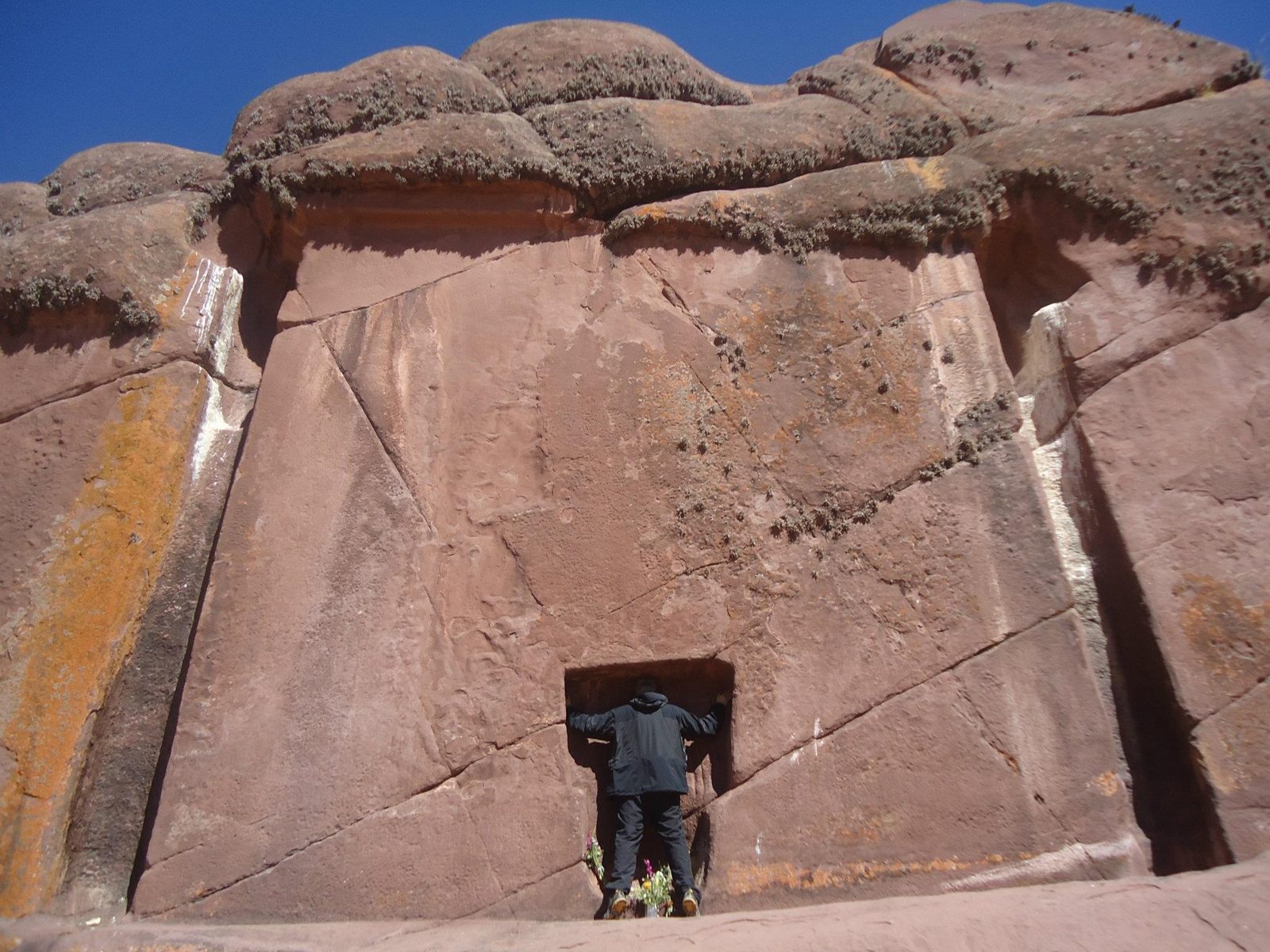
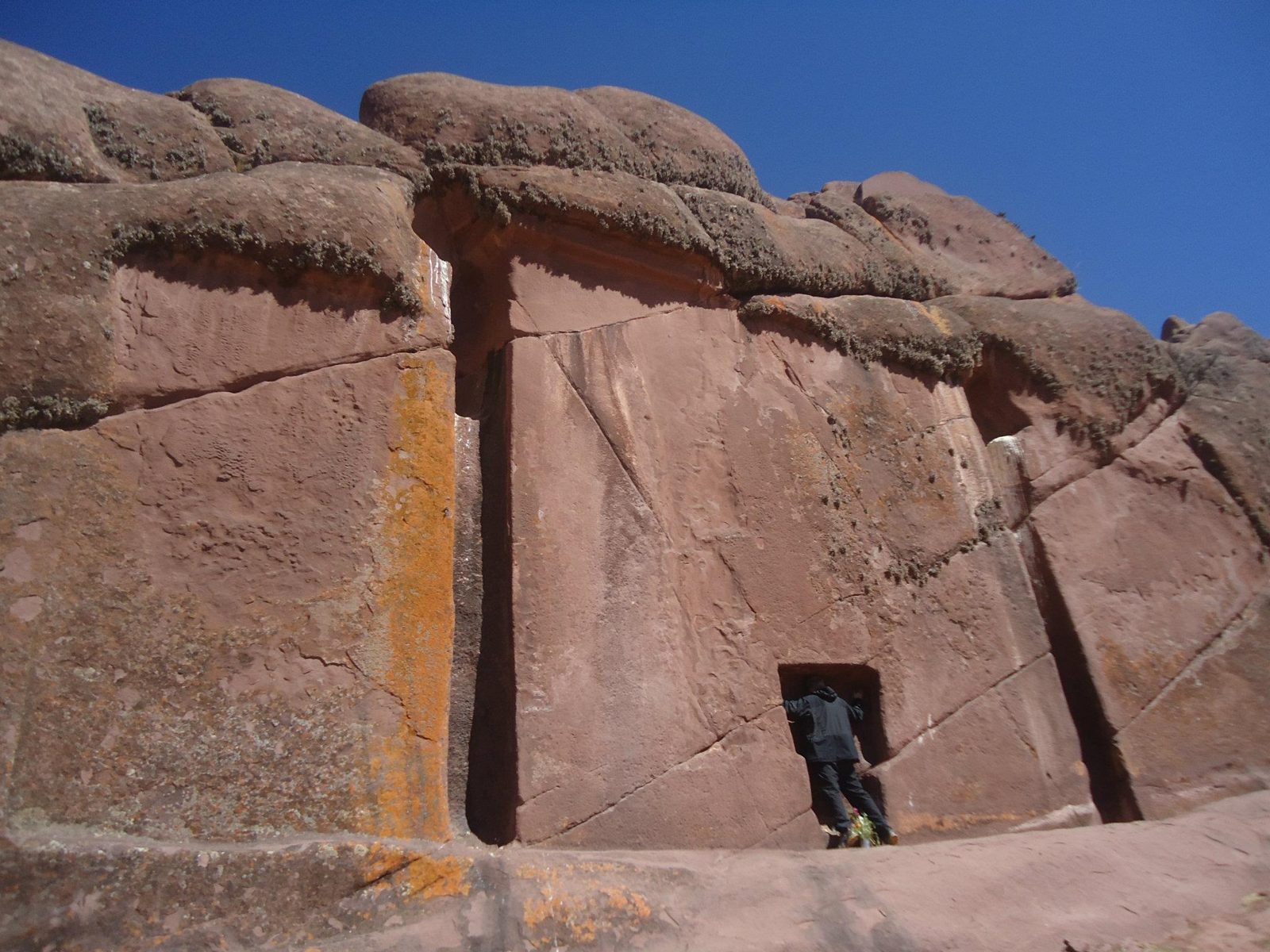
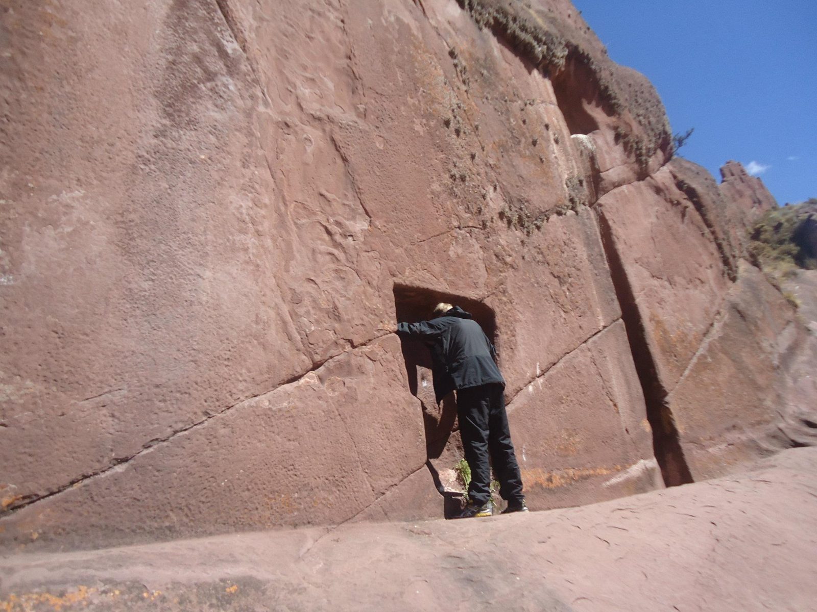
A perfect doorway, about seven metres square, cut into a red cliff, with no room behind it.
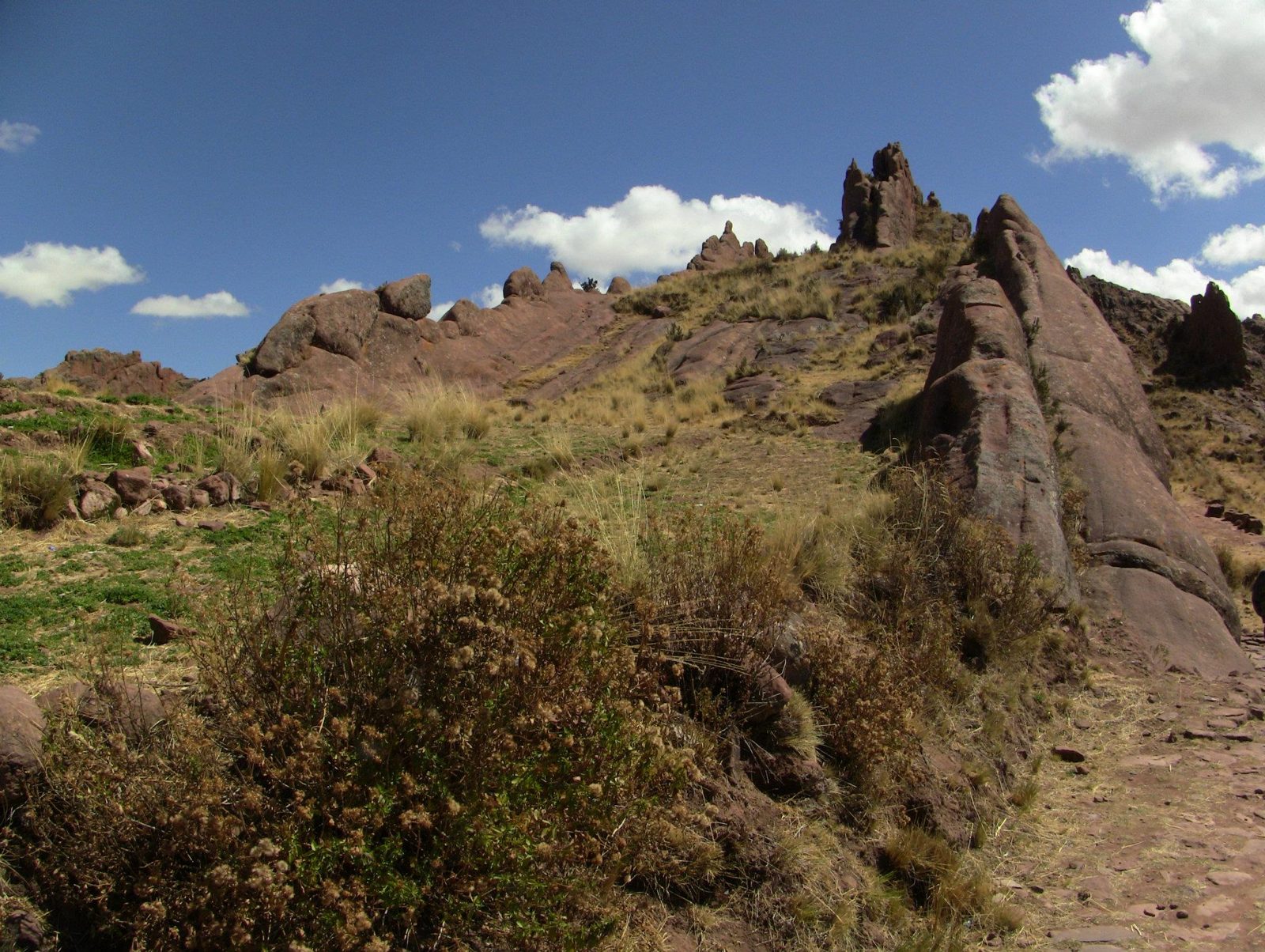
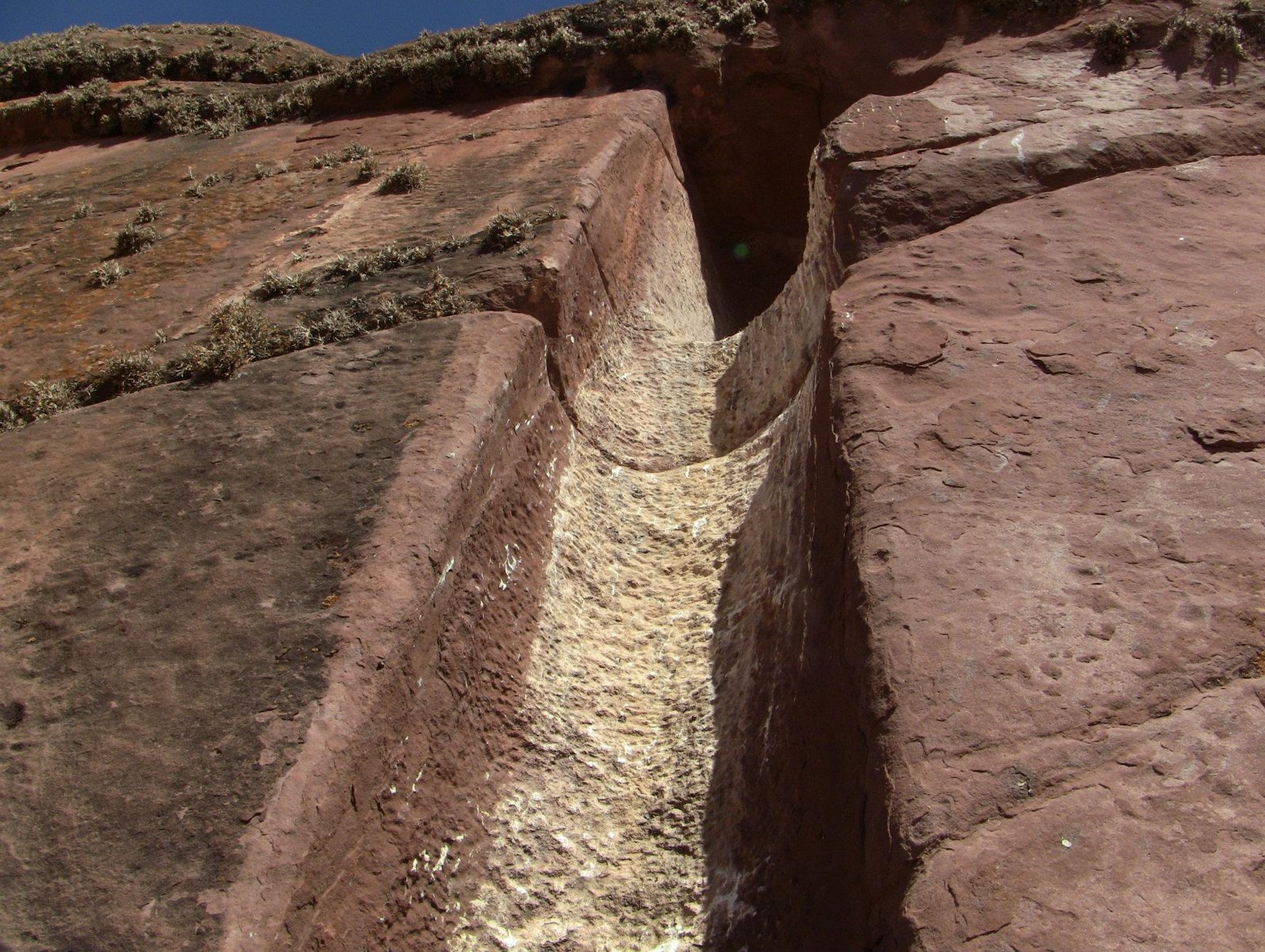
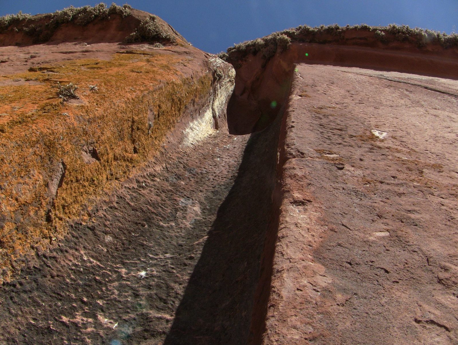
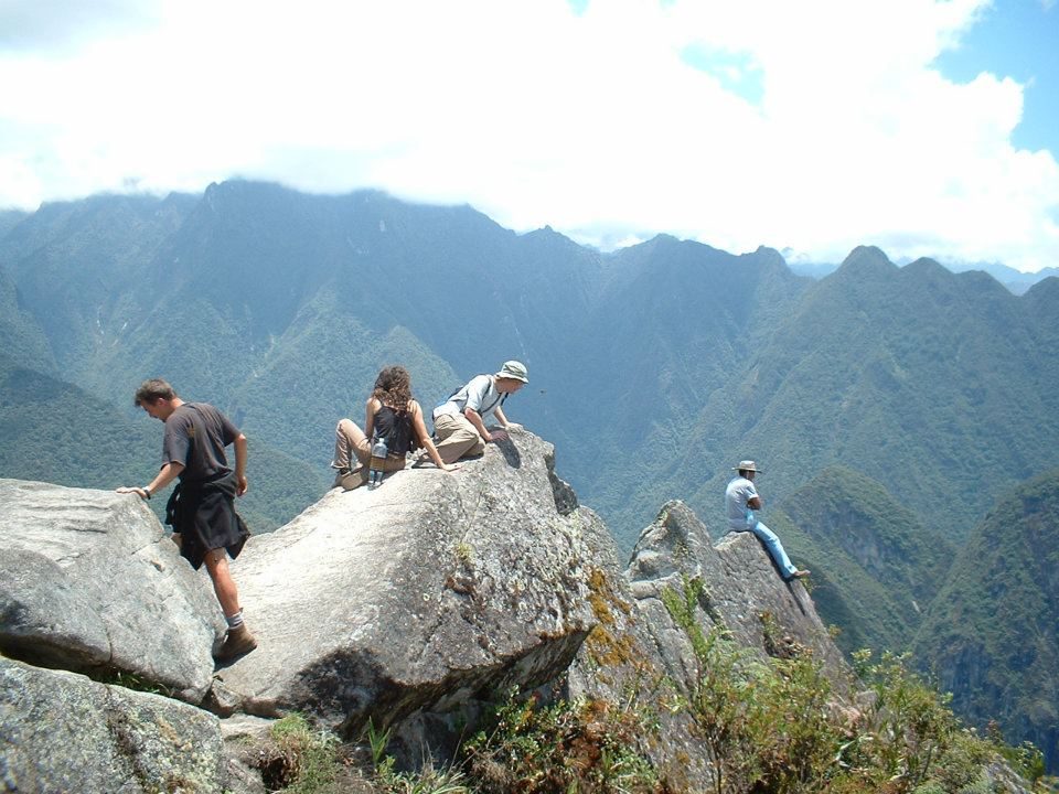
A visitor in the recess for scale: the outer niche is roughly 7 m by 7 m.Data: Size: ~7 × 7 m · Dated: never datedNatural rock fins of the Hayu Marca ridge. The carved "gate" in this rock is roughly 7 m square, with a T-shaped niche about 2 m (198 cm) tall.The niche, known locally as the gate of the gods (Puerta de Hayu Marca).The small T-shaped recess at the base is about 2 m tall, like a keyhole in a giant door.The smoothed face. Who finished it, and when, is unknown; no study has dated it.Cut surfaces beside rough rock show the doorway was carved into the outcrop, not built.Natural rock fins. A local guide, José Luis Delgado Mamani, popularised the site in the 1990s.The ridge of red rock. Legend says the priest Aramu Muru passed through with a golden sun disk.The gate on another visit. It lies near the lake, southeast of Puno, a short walk from the road to Juli.A person in the recess. A small round hollow in its centre is where some visitors press their forehead.Never dated. An unfinished Inca shrine is one plausible explanation; the "stargate" idea has no archaeological support.
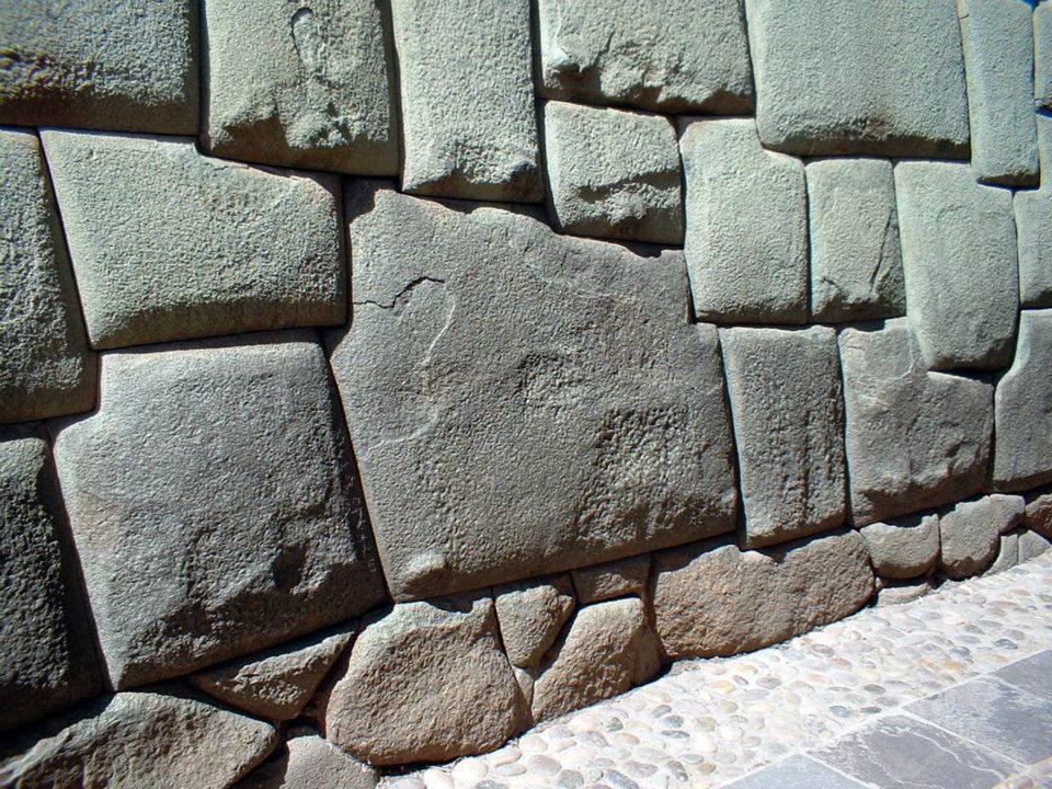
The Inca walls of Cusco show the marks of two strong earthquakes. One of them struck in Inca times ( Combey et al. 2022 ).
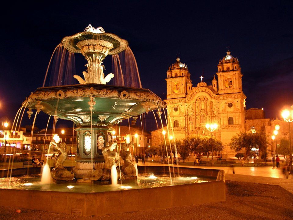
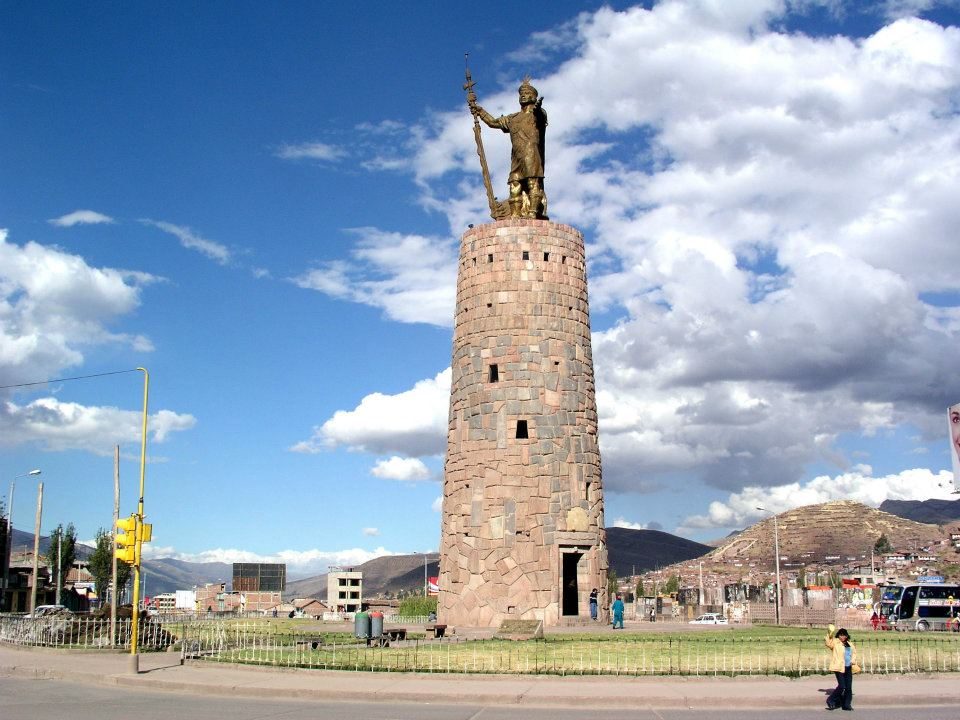
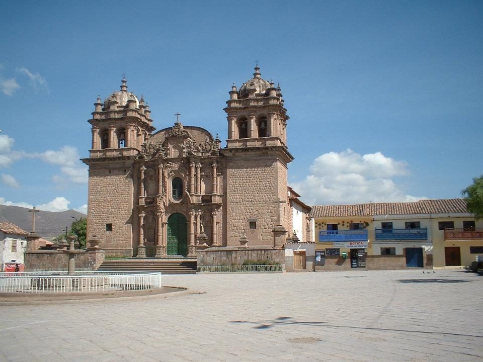
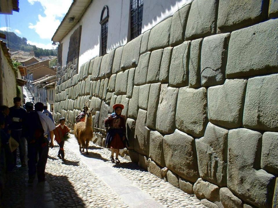
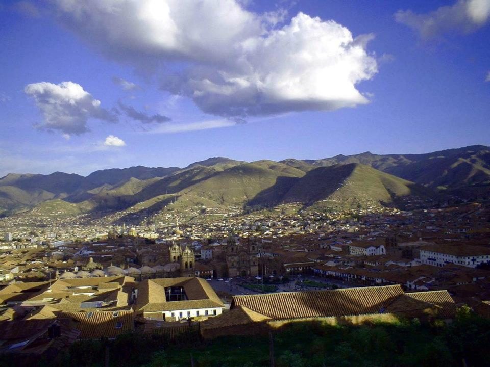
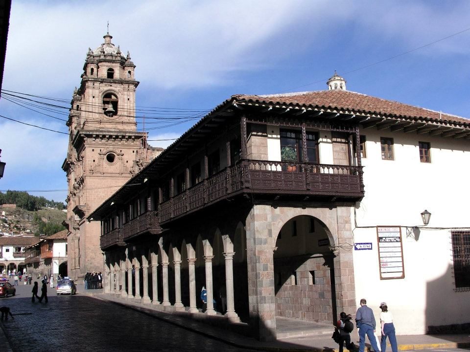
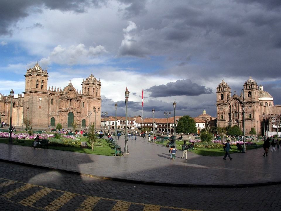
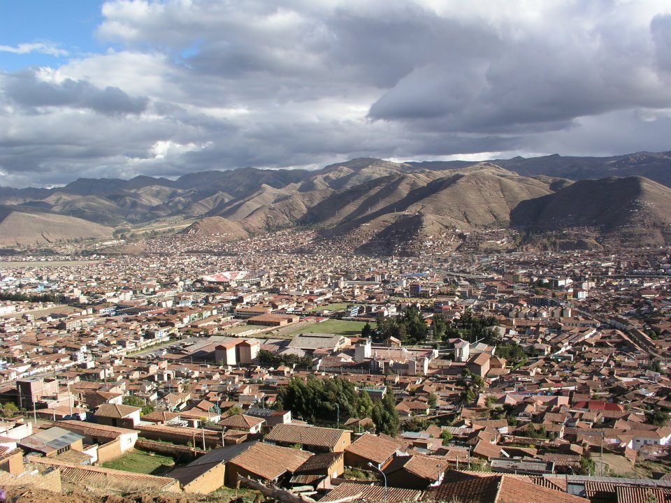
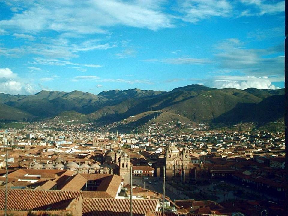
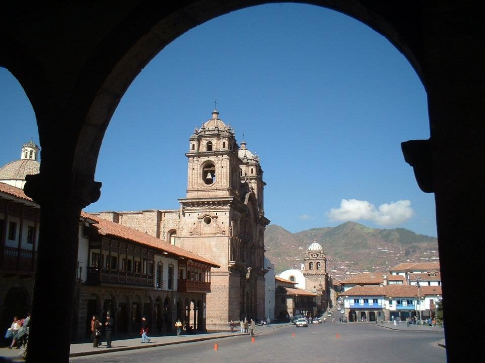
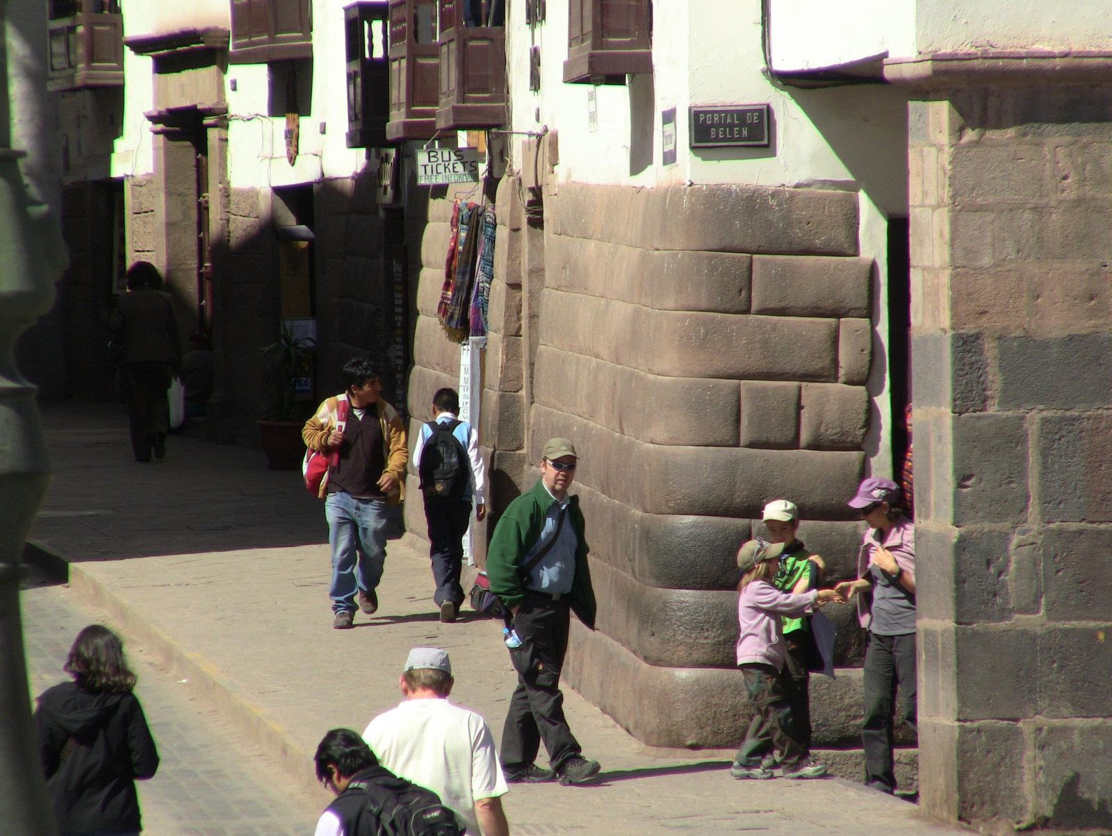
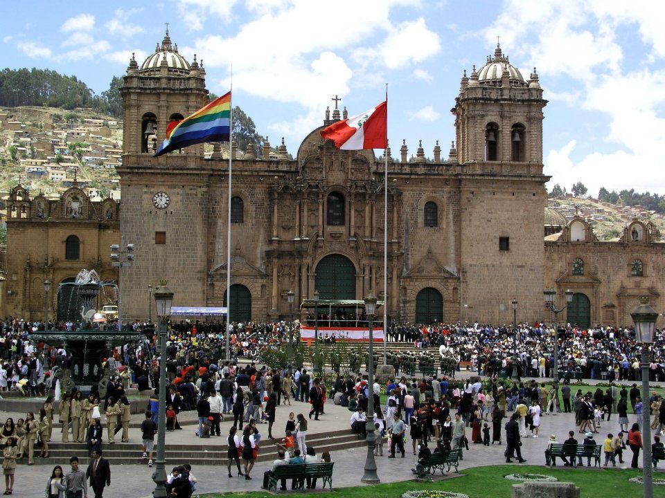
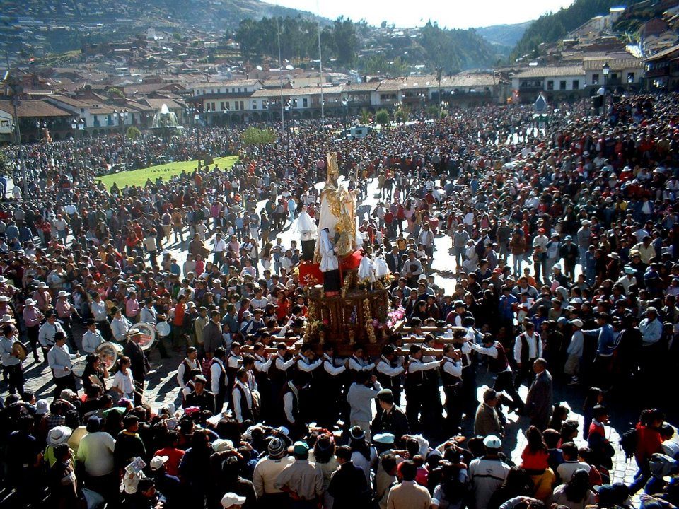
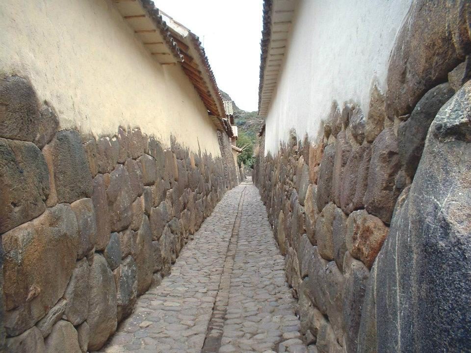
The cathedral at night, built 1559–1654 on the site of an Inca palace.Data: Built: 1559–1654 · UNESCO: 1983An evening street in Cusco, at about 3,400 m. The colonial city was built directly on Inca foundations after the Spanish entered it in 1533.Polygonal Inca blocks, the same style as the twelve-angled stone on Hatun Rumiyoc street.A monument in Cusco's historic centre (which one is not identified from the photo). Spanish forces entered the Inca capital in November 1533.A colonial church. Many were built on Inca foundations, like Santo Domingo on top of the Coricancha.Inca walls on a street. They withstood the 1650 and 1950 earthquakes better than the colonial buildings above.The valley from above. By tradition, Pachacuti's Cusco was laid out in the shape of a puma.Carved wooden balconies, typical of colonial mansions built over Inca walls.Plaza de Armas. Under the Inca the main square (Huacaypata) is thought to have been even larger.Red roofs of Cusco, a UNESCO World Heritage Site since 1983.The city across the valley. Cusco grew into the imperial capital under Pachacuti in the 15th century.A church tower framed by an arcade. Many towers had to be rebuilt after the 1650 earthquake.A lane between Inca walls. They lean slightly inward, a feature thought to help them resist earthquakes.The cathedral during a festival; religious processions still circle the plaza.Crowds in the Plaza de Armas, where the rebel leader Túpac Amaru II was executed in 1781.
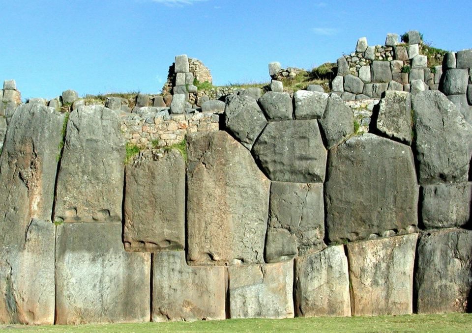
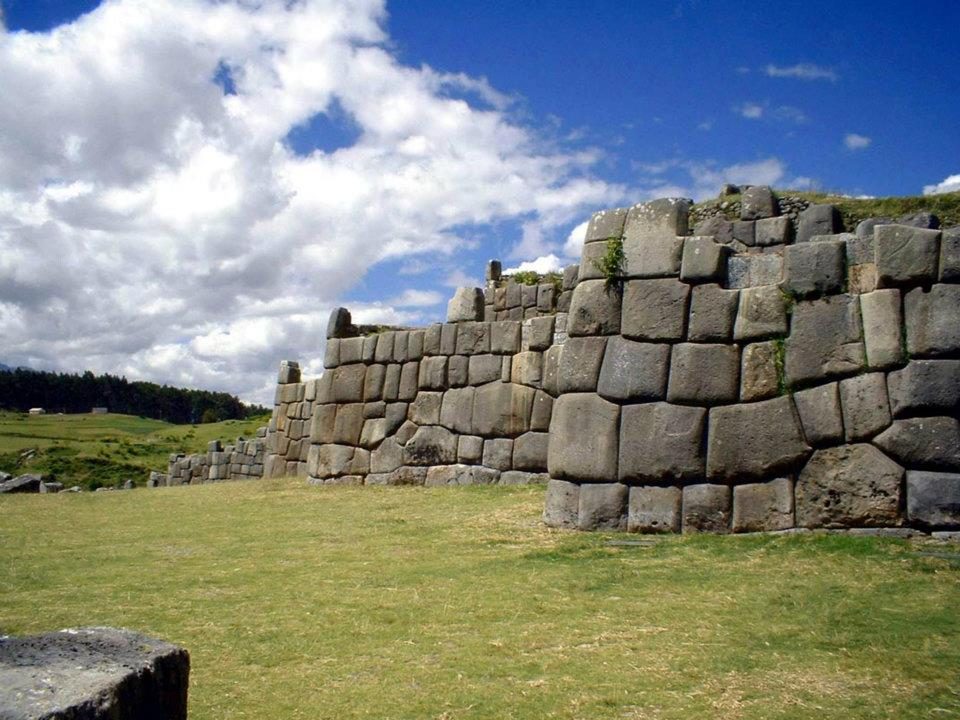
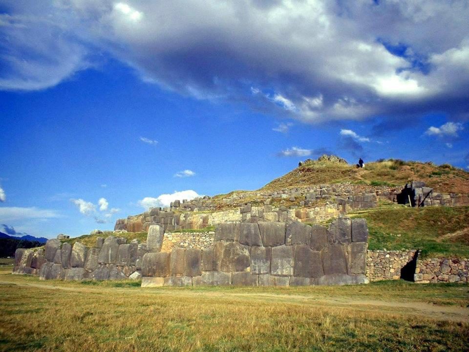
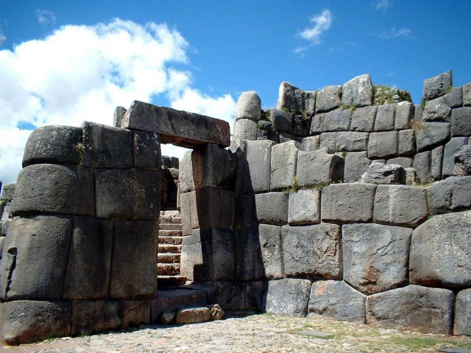
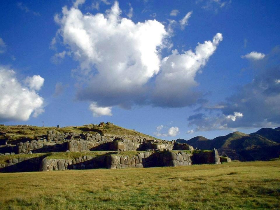
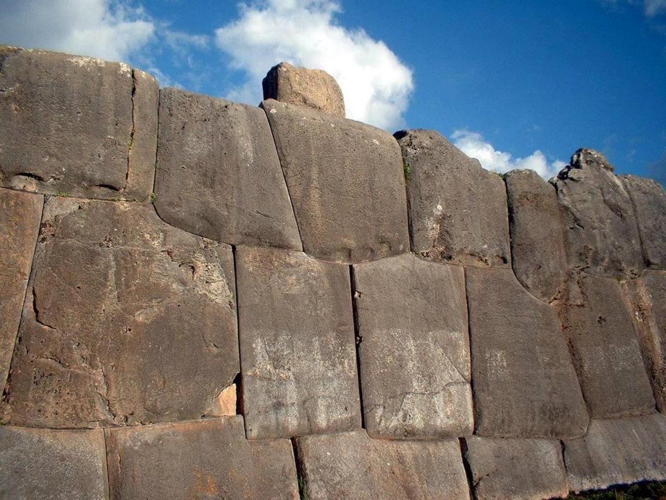
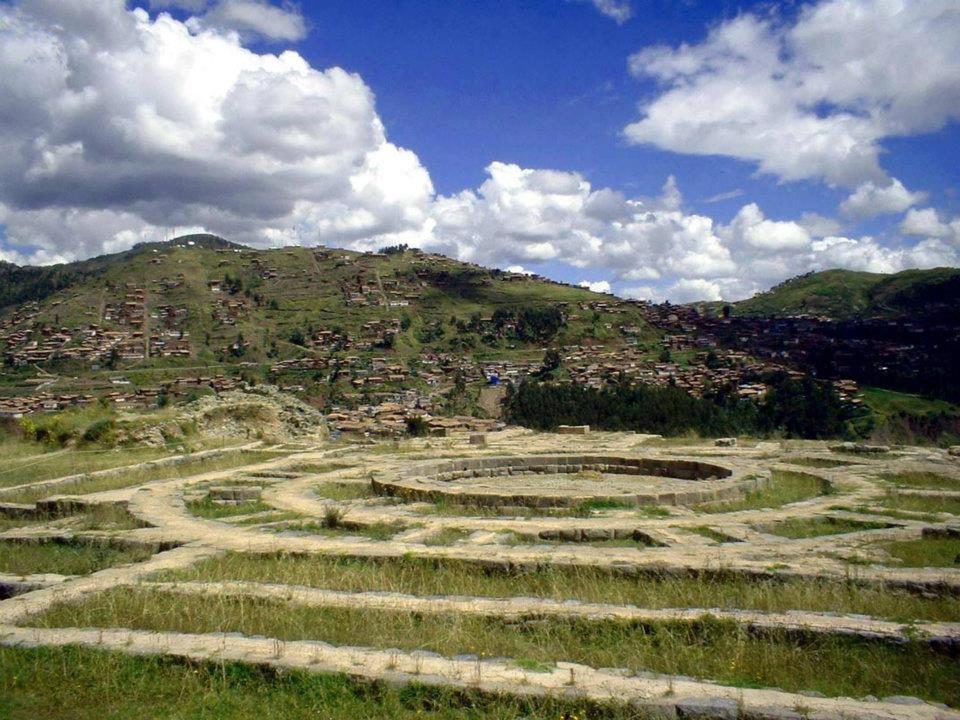
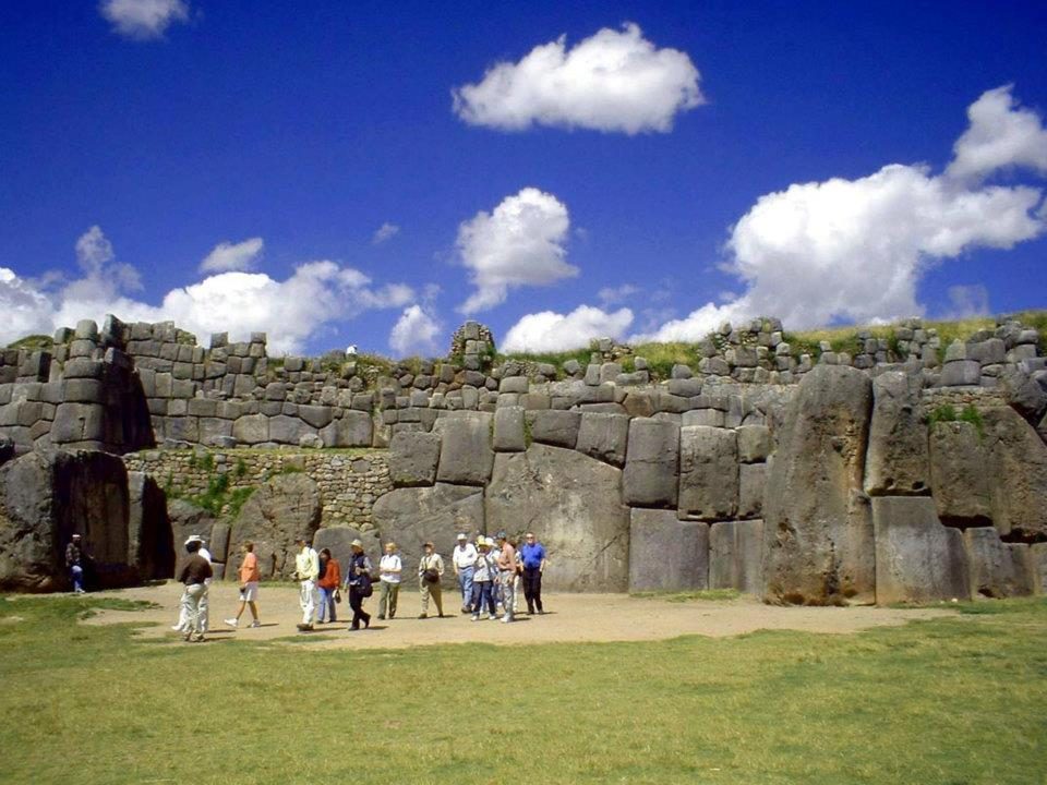
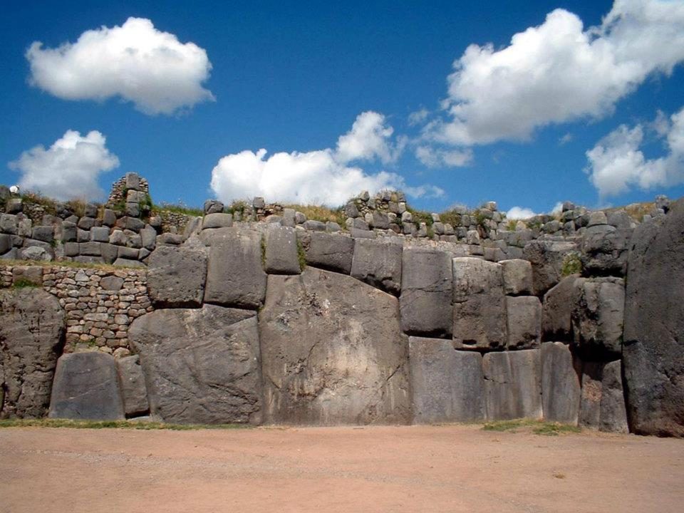
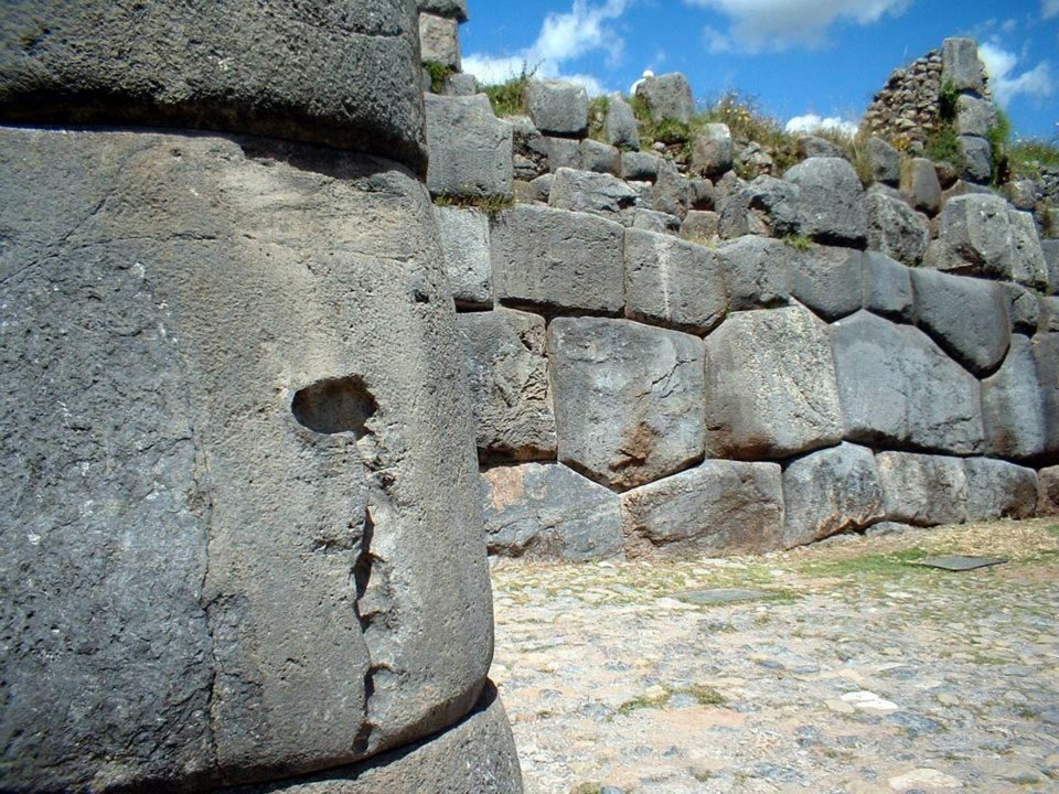
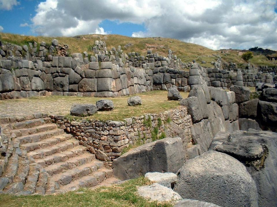
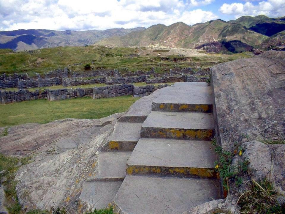
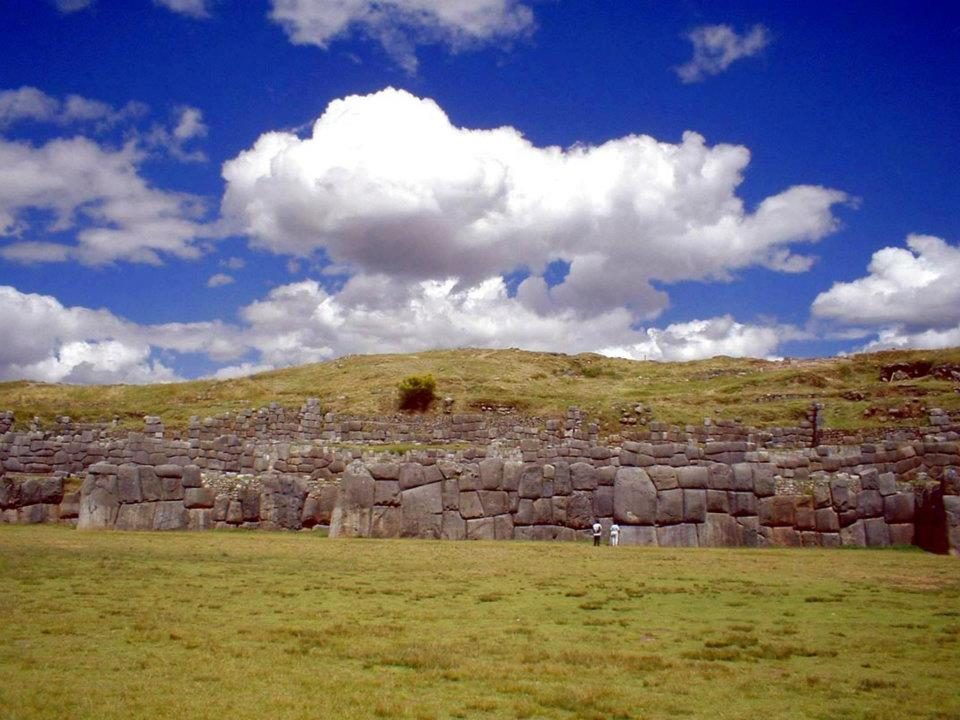
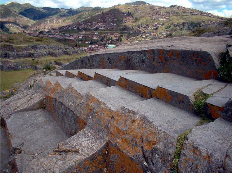
Three zigzag walls climb the slope above Cusco, their stones fitted without mortar.
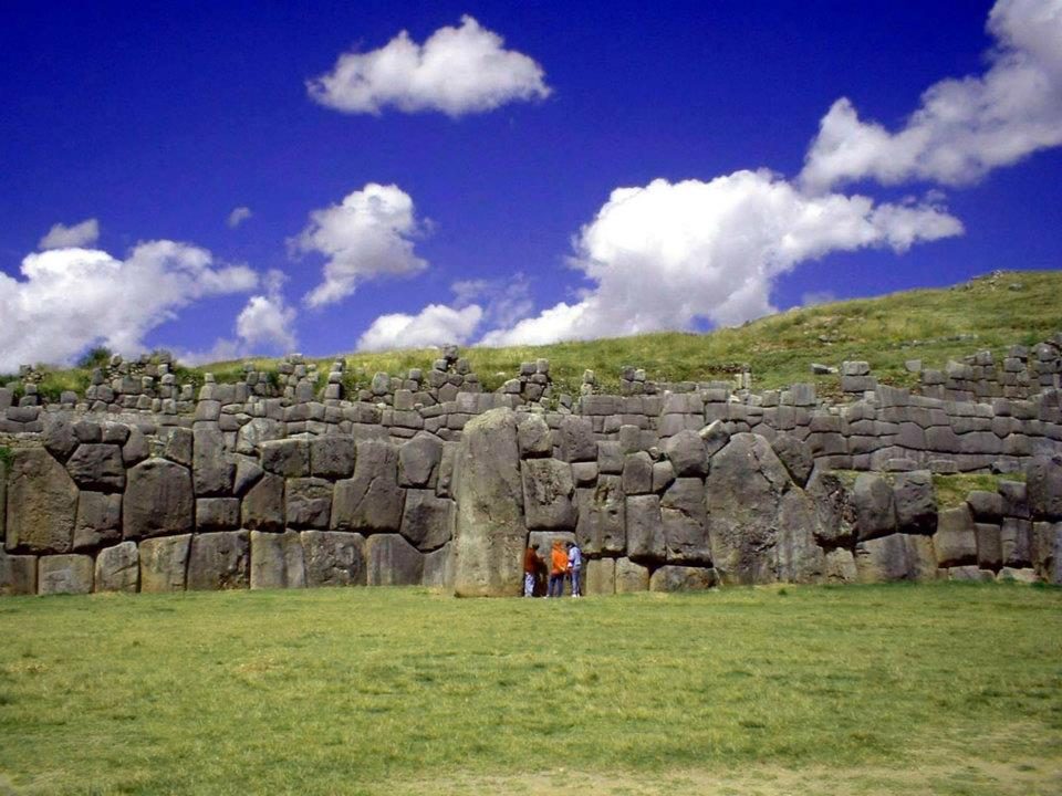
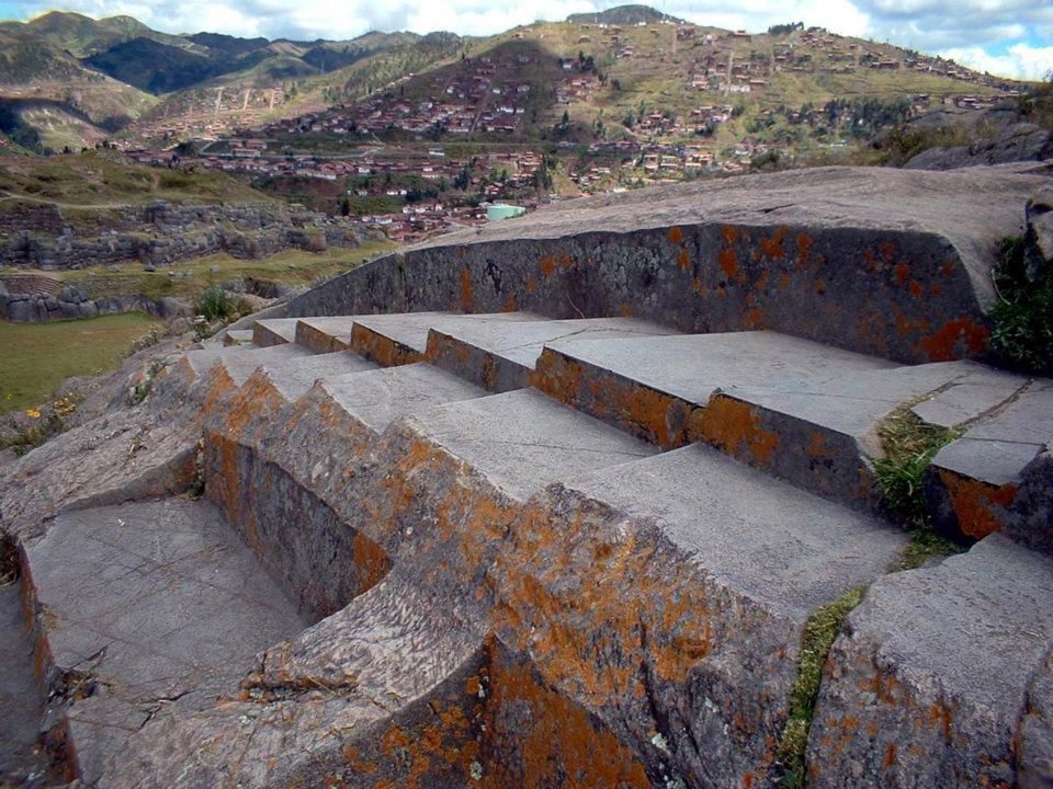
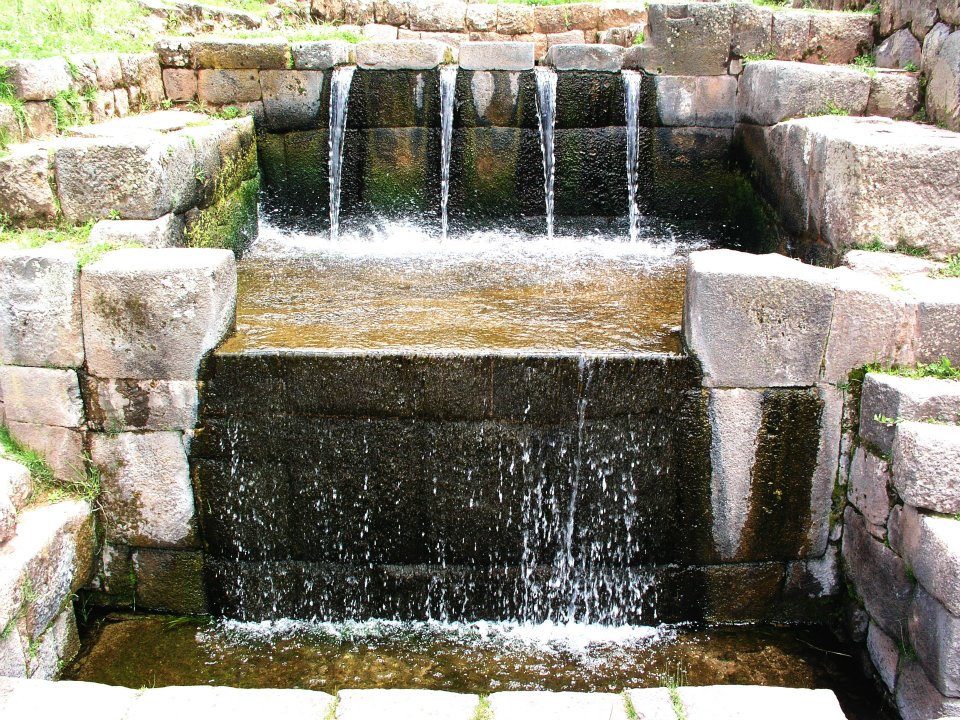
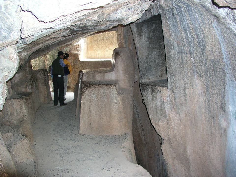
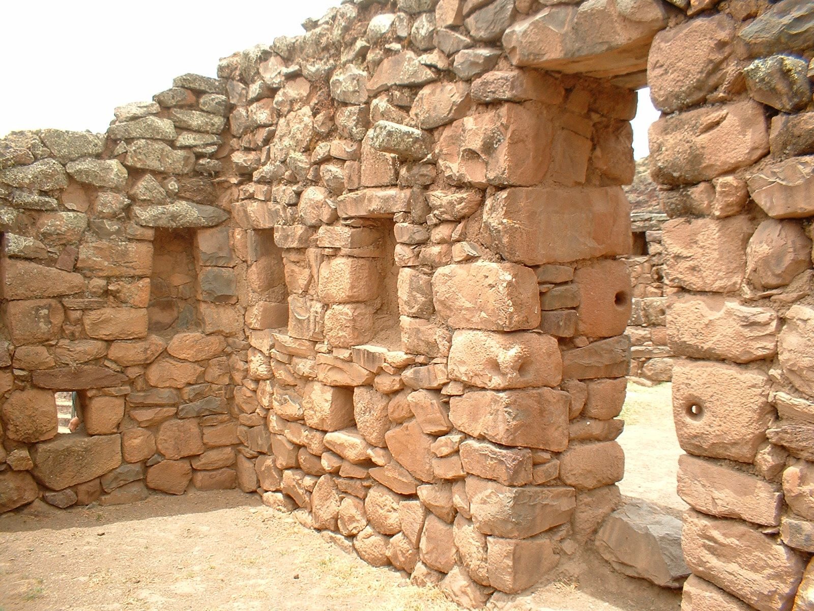
The long wall from the esplanade, where Inti Raymi is re-enacted every 24 June.Polygonal blocks in the zigzag walls, which climb the hill in three tiers.The walls above the esplanade. Estimates suggest over 6,000 m³ of stone went into the complex.The upper terraces. After the conquest the Spanish quarried the upper buildings for stone for Cusco's churches.A gateway. Studies of unfinished blocks suggest masons refined the stones in place.The zigzag walls. Some read the zigzag as the teeth of the puma-shaped city; it also exposes attackers' flanks.Blocks fitted without mortar at about 3,701 m. Each joint follows the irregular outline of its neighbour, so no two stones in these walls share a shape.Circular foundations of Muyuq Marka, a tower destroyed after the conquest and excavated in the 1930s.Visitors dwarfed by the walls. Some andesite was probably brought from Rumicolca, an estimated 35 km away.The lowest tier. The largest block is often estimated at roughly 120–130 tonnes; higher figures of up to 200 t are poorly supported.A rounded block with tight joints: each stone shaped to fit its neighbours.Steps cut into the bedrock. The Inca also carved living rock into shrines (huacas).Carved steps on the outcrop. Open question: their use is not recorded; many interpret them as ritual seats.Rock-cut channels and seats above the walls; water ritual is a common interpretation.The walls across the hillside. In 1536 Manco Inca's forces held the fortress before the Spanish retook it.A smaller wall. Jean-Pierre Protzen showed experimentally that harder hammerstones can shape stones like these.Tambomachay: spring water still runs through Inca channels into three waterfalls.A carved passage in a rock outcrop, probably Qenqo, a shrine whose name is often translated as "zigzag" or "labyrinth".Steps and seats carved straight into the bedrock above the walls; the Inca shaped living rock as well as building with it. Photo: Jani Korpi, CC BY-SA 3.0, Wikimedia Commons
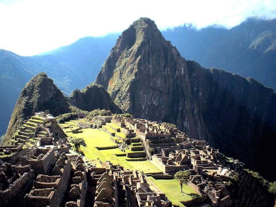
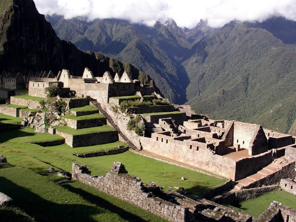
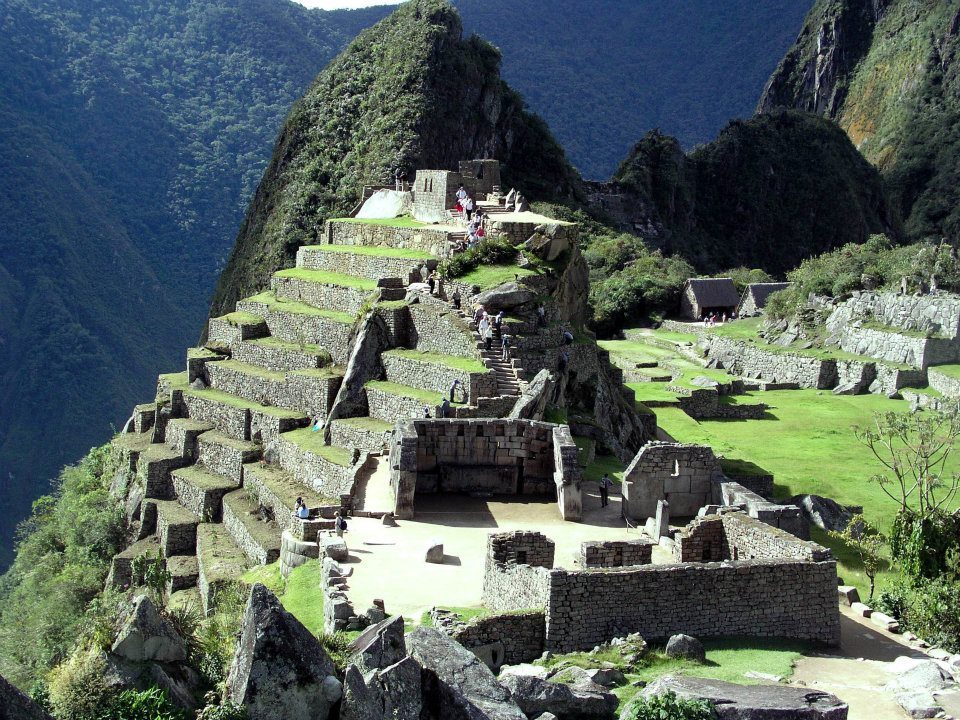
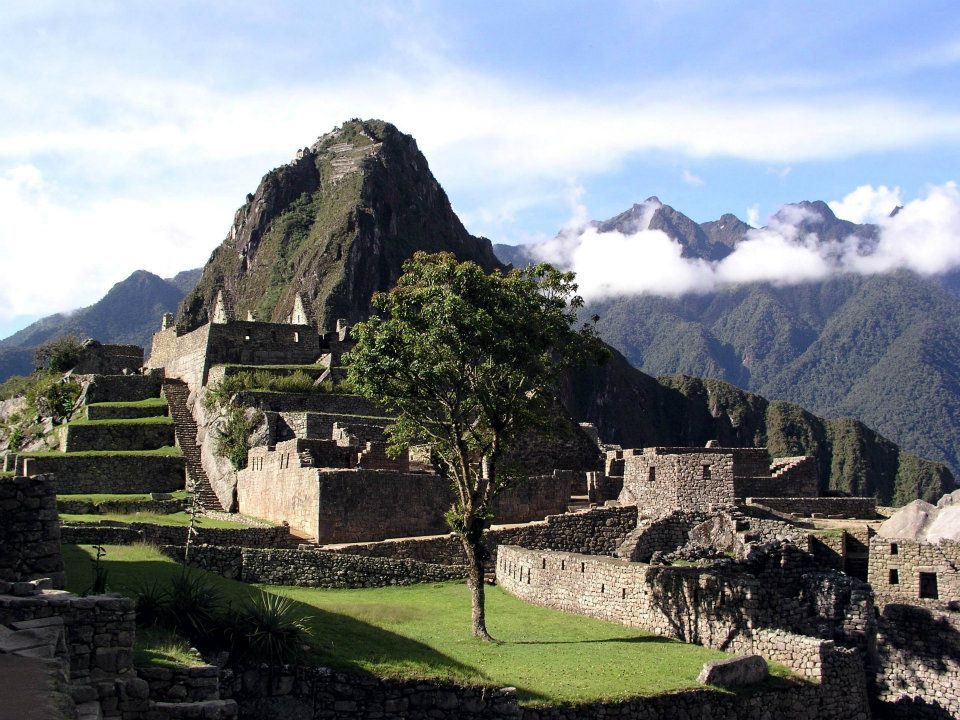
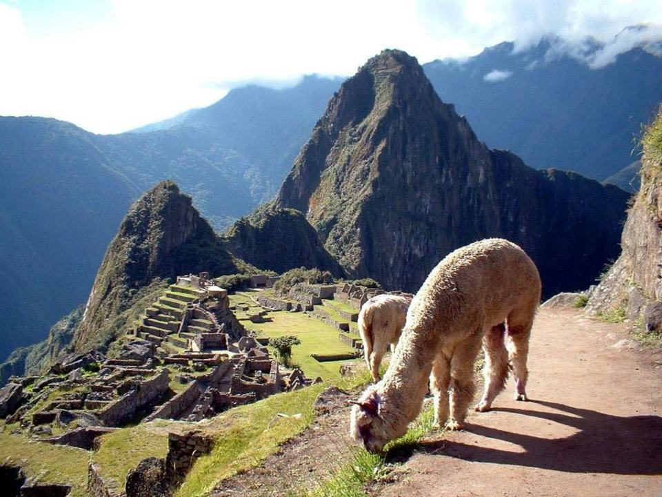
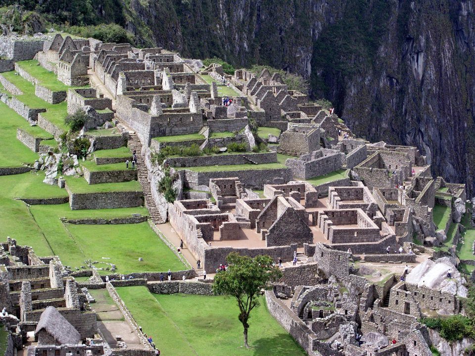
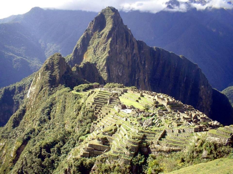
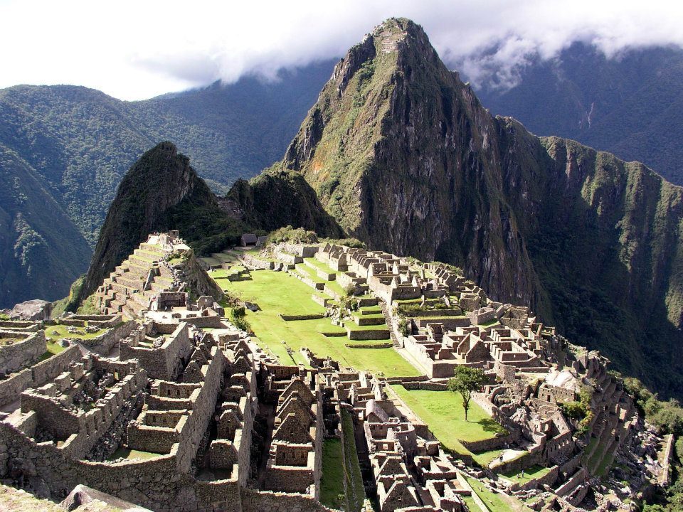
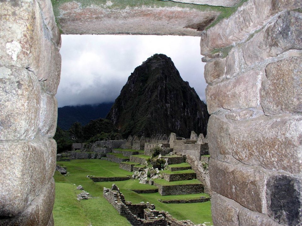
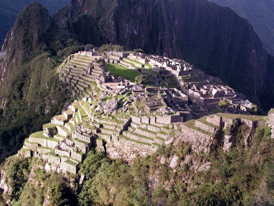
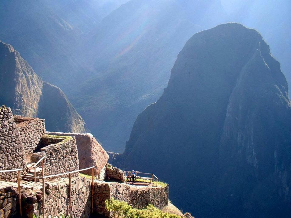
The Spanish never found Machu Picchu, yet local farmers were living there when Hiram Bingham arrived in 1911.
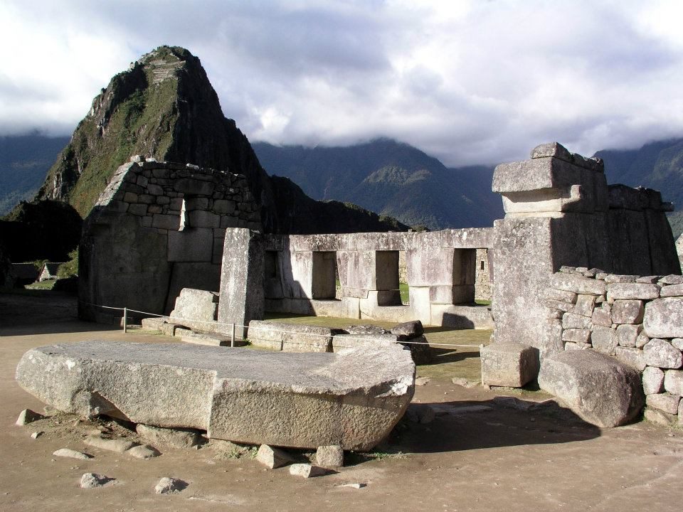
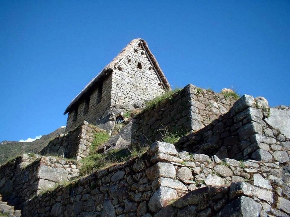
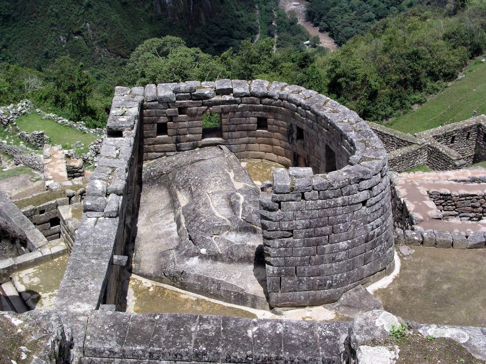
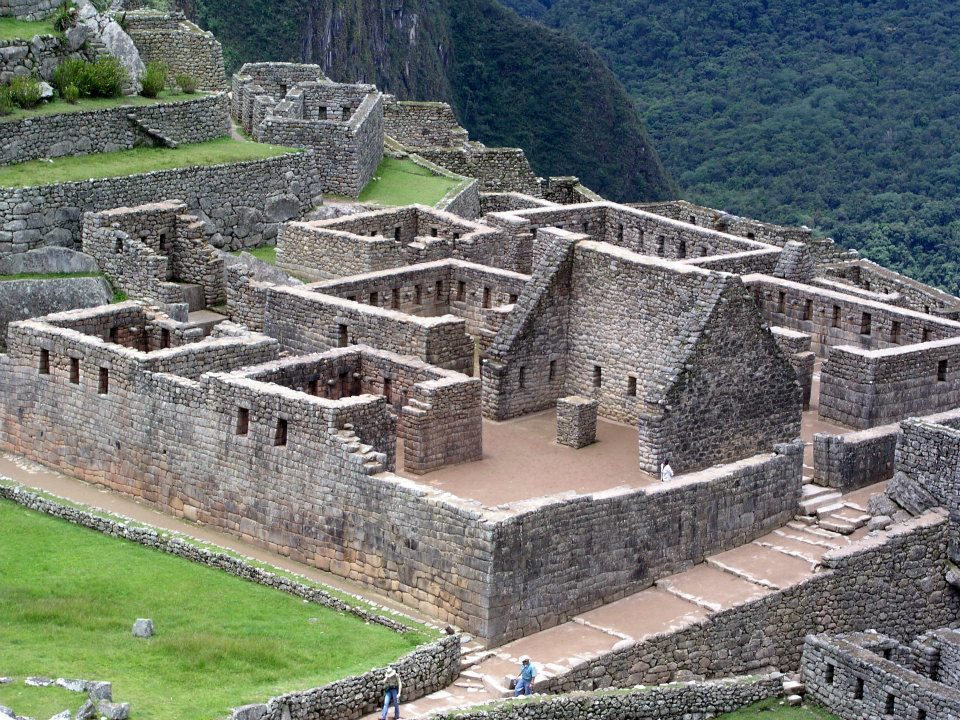
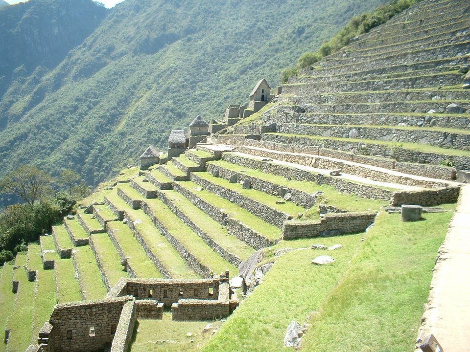
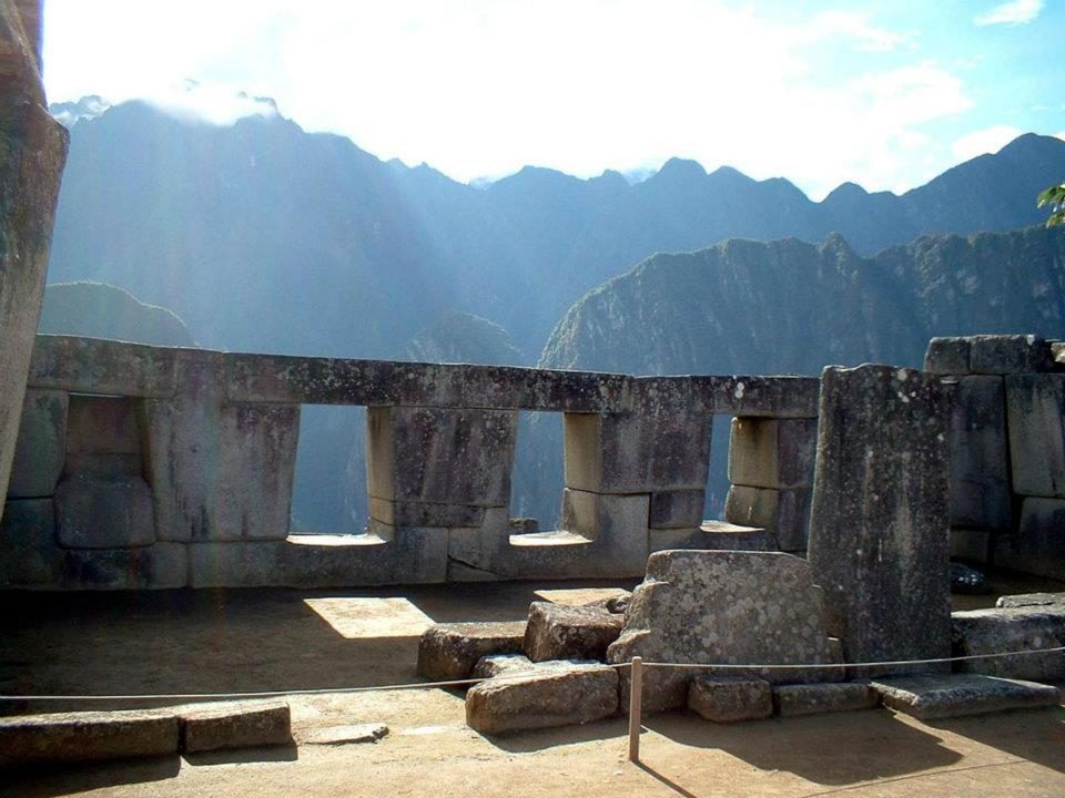
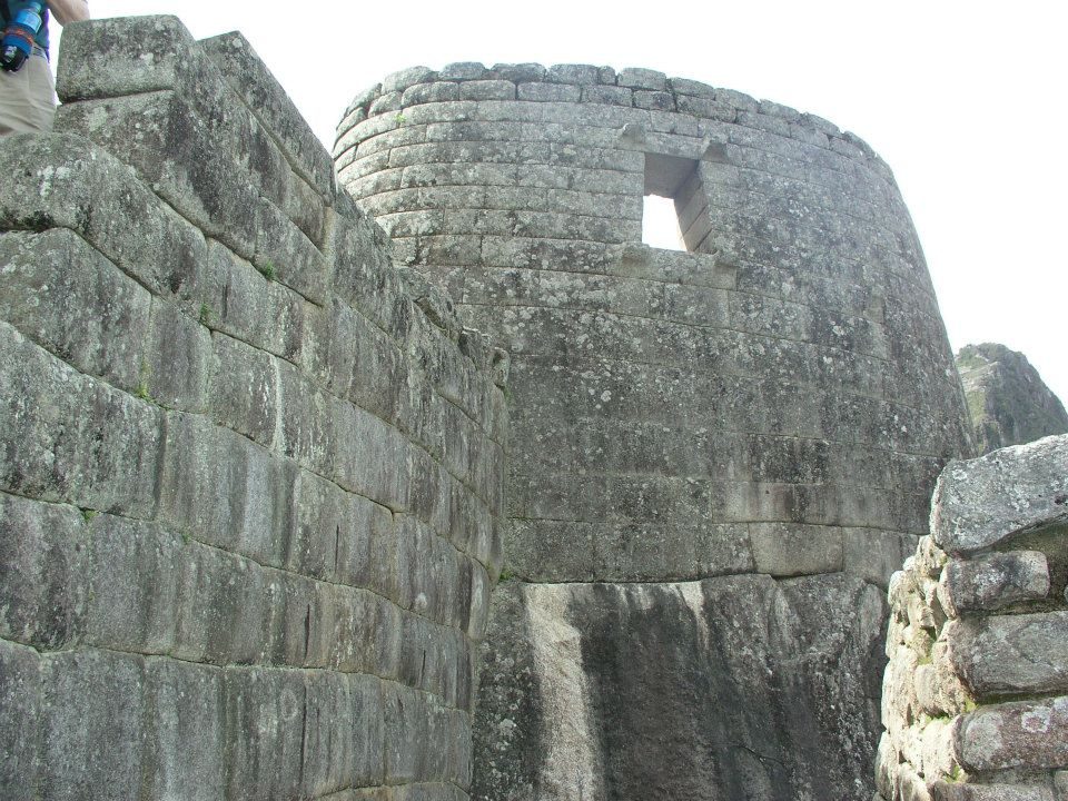
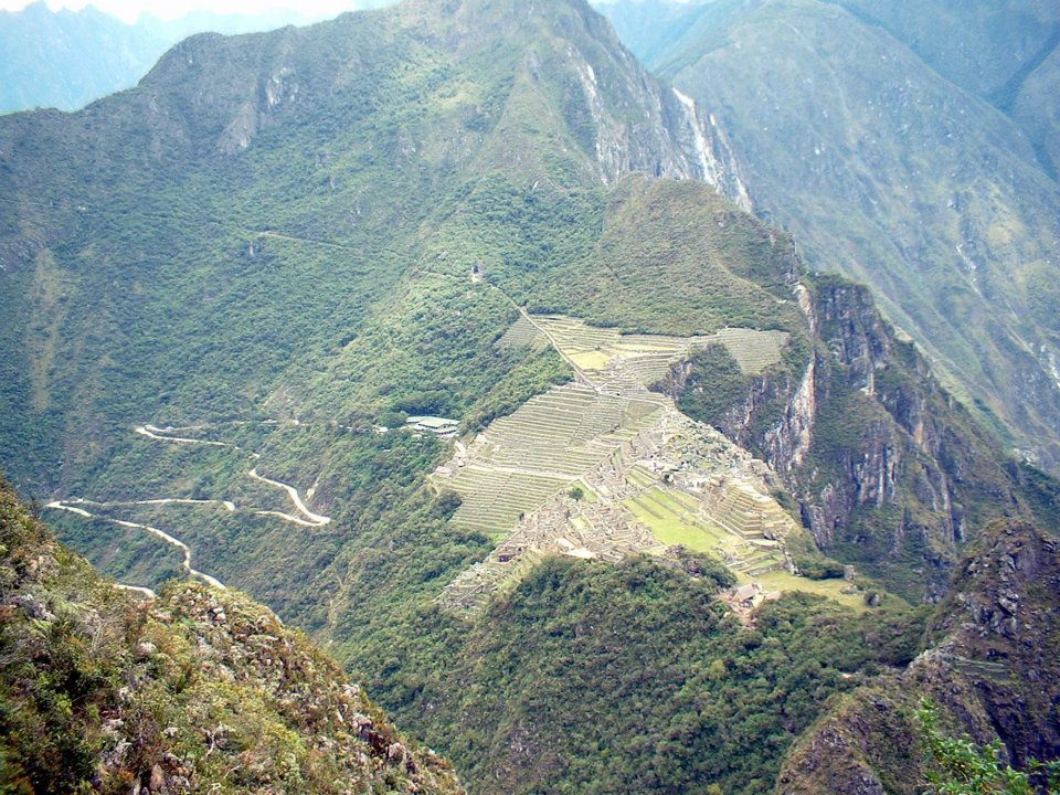
The classic view with Huayna Picchu (about 2,720 m), whose summit also has Inca terraces and buildings.Data: Built: ~1420–1530s · Altitude: ~2,430 m · UNESCO: 1983Terraces and buildings. Researchers estimate around 60% of the construction work lies underground, in foundations and drainage.The citadel at about 2,430 m. Radiocarbon dating (2021) suggests it was occupied from about 1420 to the 1530s.Terraces with Huayna Picchu behind. Layers of stone, gravel and topsoil drained the heavy rain.A llama above the ruins. Llamas were the Andes' only large pack animal, carrying roughly 25–30 kg.The main plaza and residential sectors; the site has well over 150 buildings.A carved rock. Inca builders turned outcrops into shrines; the best known here is the Intihuatana.Gabled houses. Stone pegs on the gables once held the thatched roofs down.The curved wall of the Torreon, built around a natural outcrop.Roofless houses. Estimates suggest at most around 750 people lived here, mostly serving the royal household.From the upper terraces. The name means "Old Peak" in Quechua.Mist over the ruins. Local farmers still lived here when Hiram Bingham arrived in 1911.Agricultural terraces. With their drainage they have held the slope for over 500 years.Trapezoidal windows, a hallmark of Inca design, in coursed granite.A trapezoidal doorway. The walls lock together without mortar.Machu Picchu sits about 450 m above the Urubamba River.Peaks in the haze. Machu Picchu became a UNESCO site in 1983 and one of the New Seven Wonders in 2007.The curved Torreón wall. Near the June solstice, light falls on the stone inside (Ziółkowski & Kościuk 2020): a light effect around the solstice, not a precise calendar.Visitors above the valley. Daily ticket numbers are capped to limit wear on the site.The Hiram Bingham road switchbacks up from the valley.
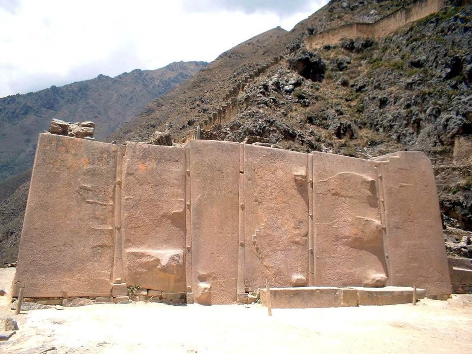
Huge pink stones lie abandoned on the road from a quarry on the other side of the river.
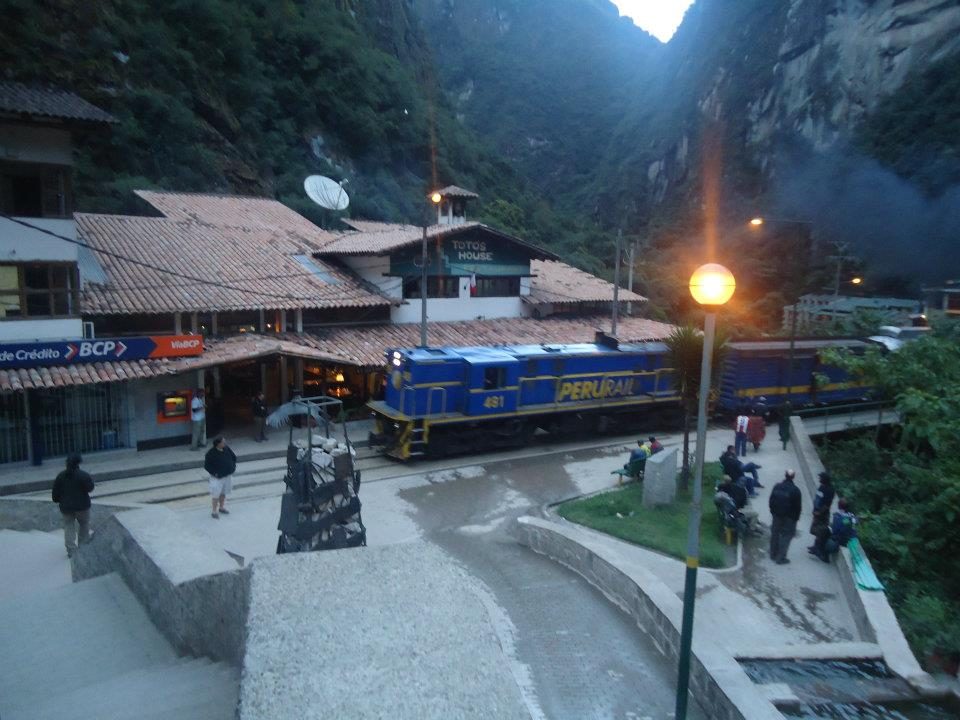
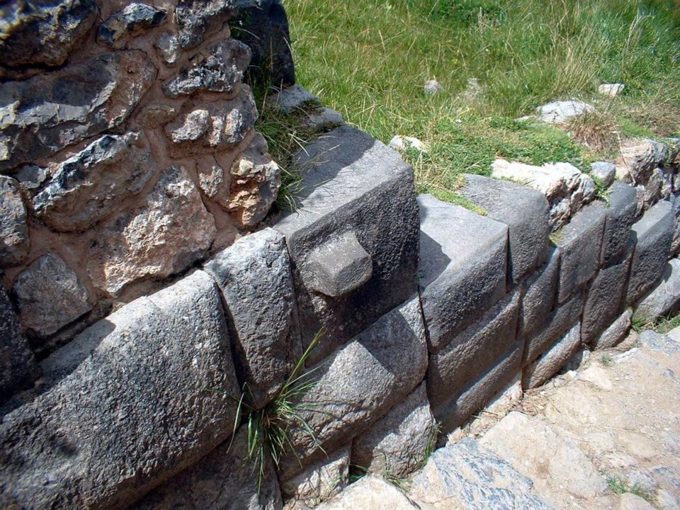
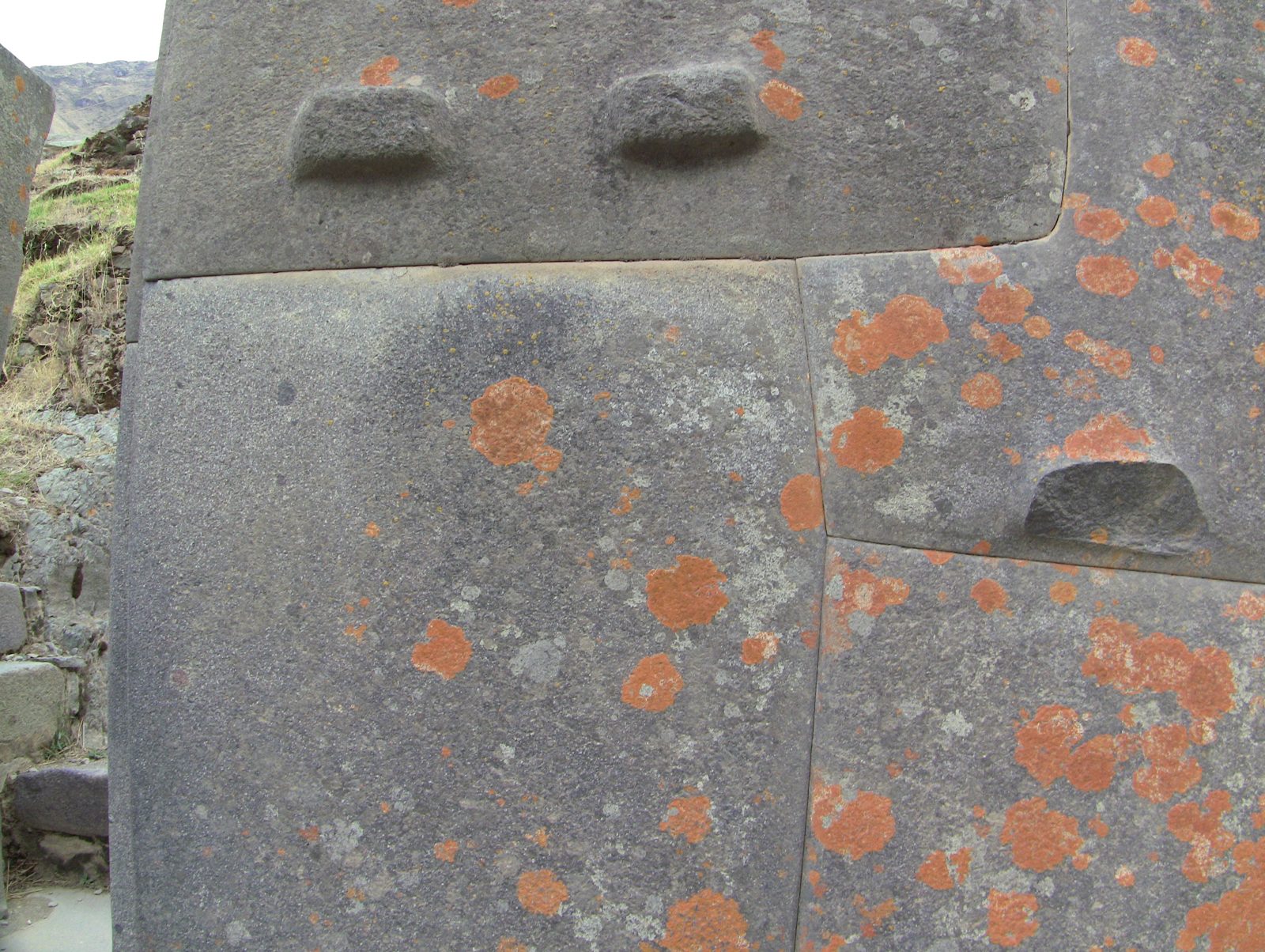
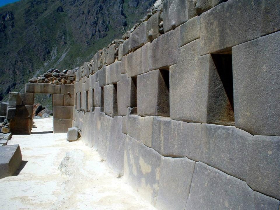
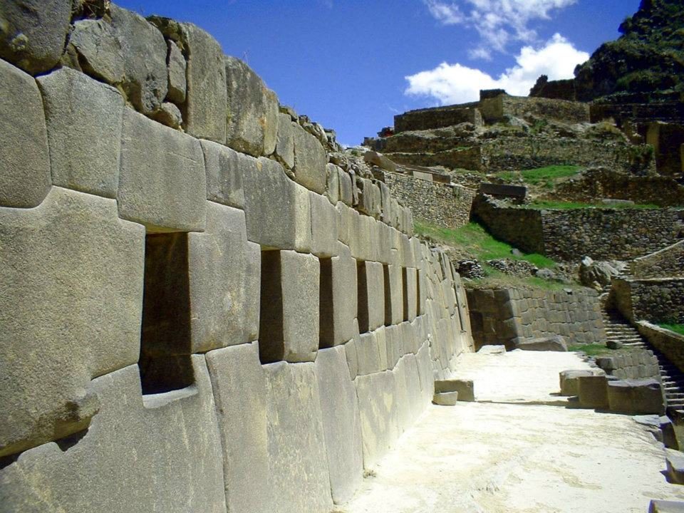
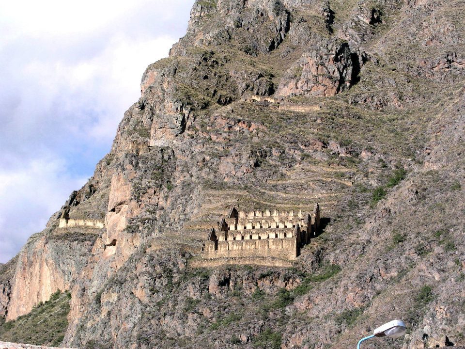
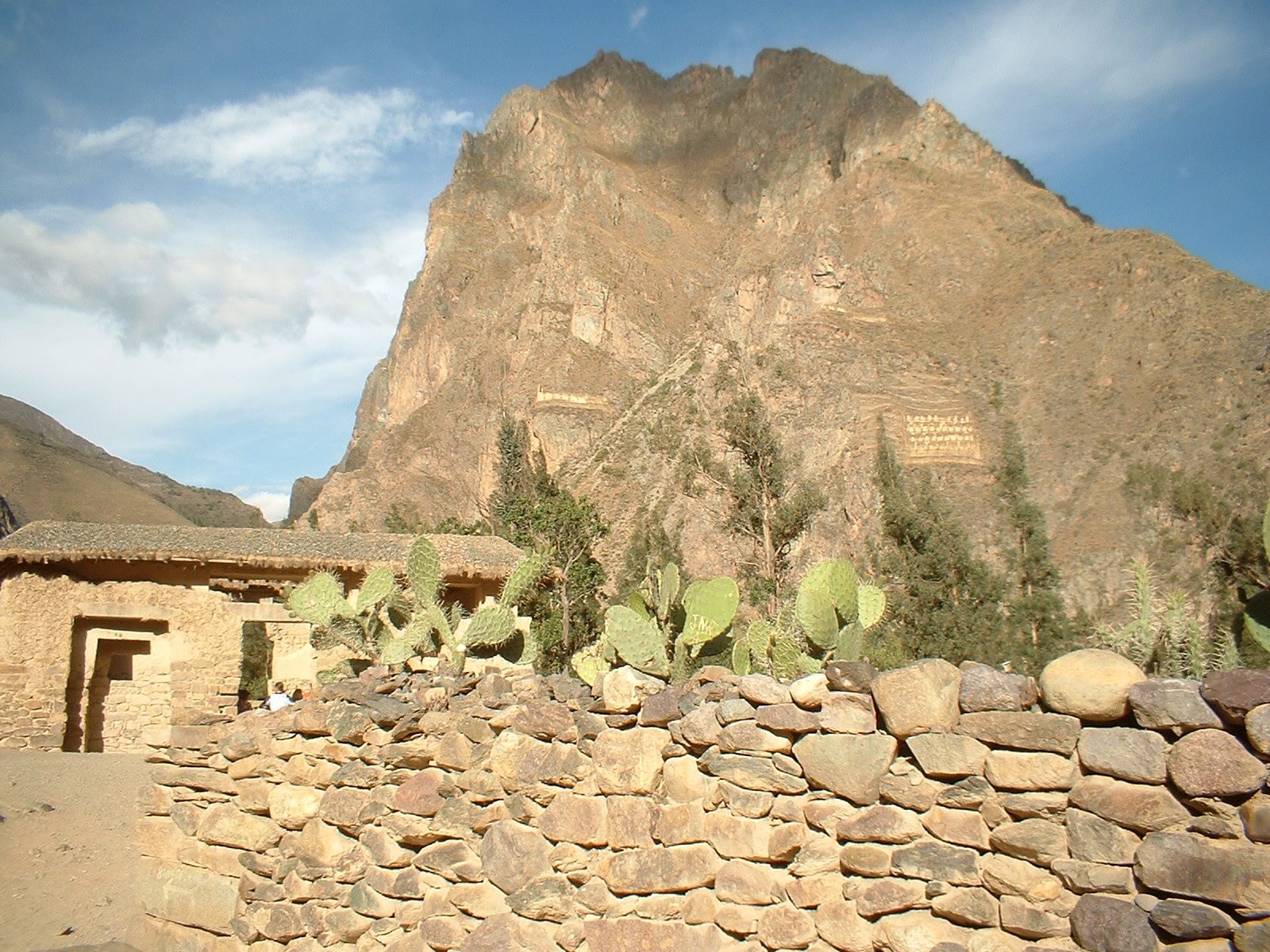
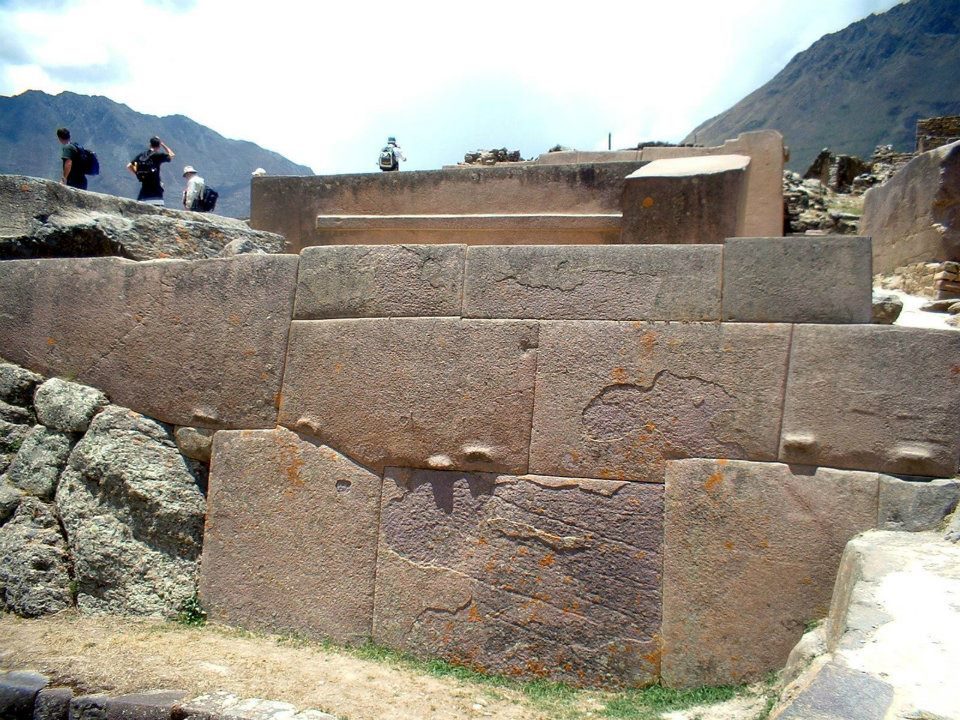
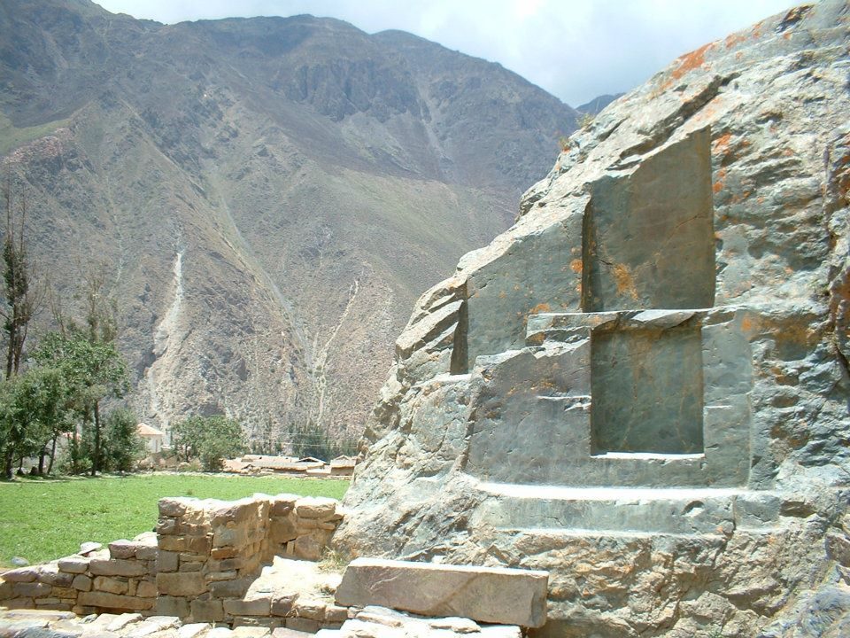
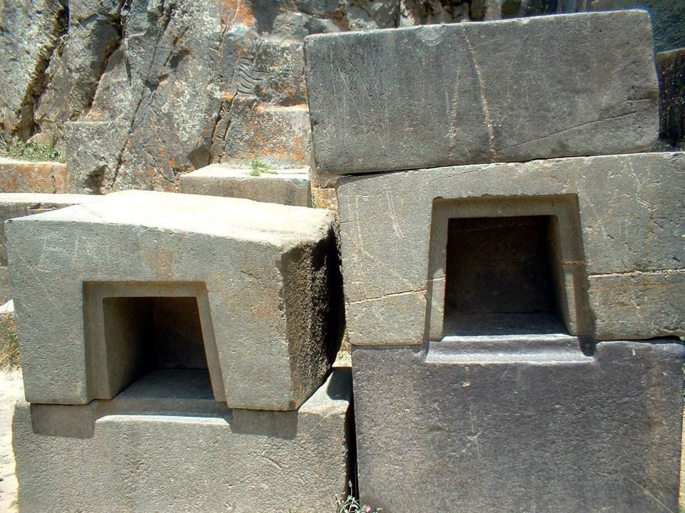
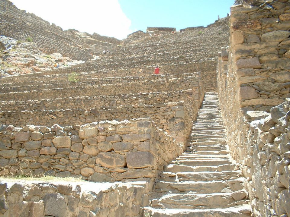
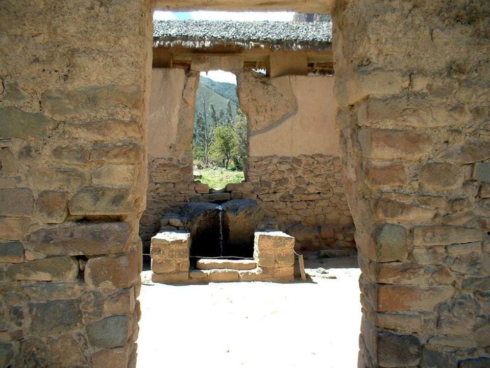
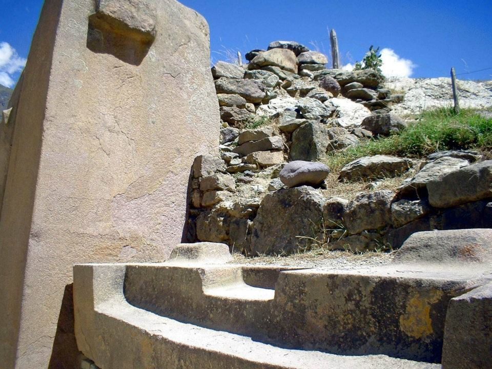
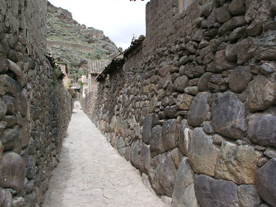
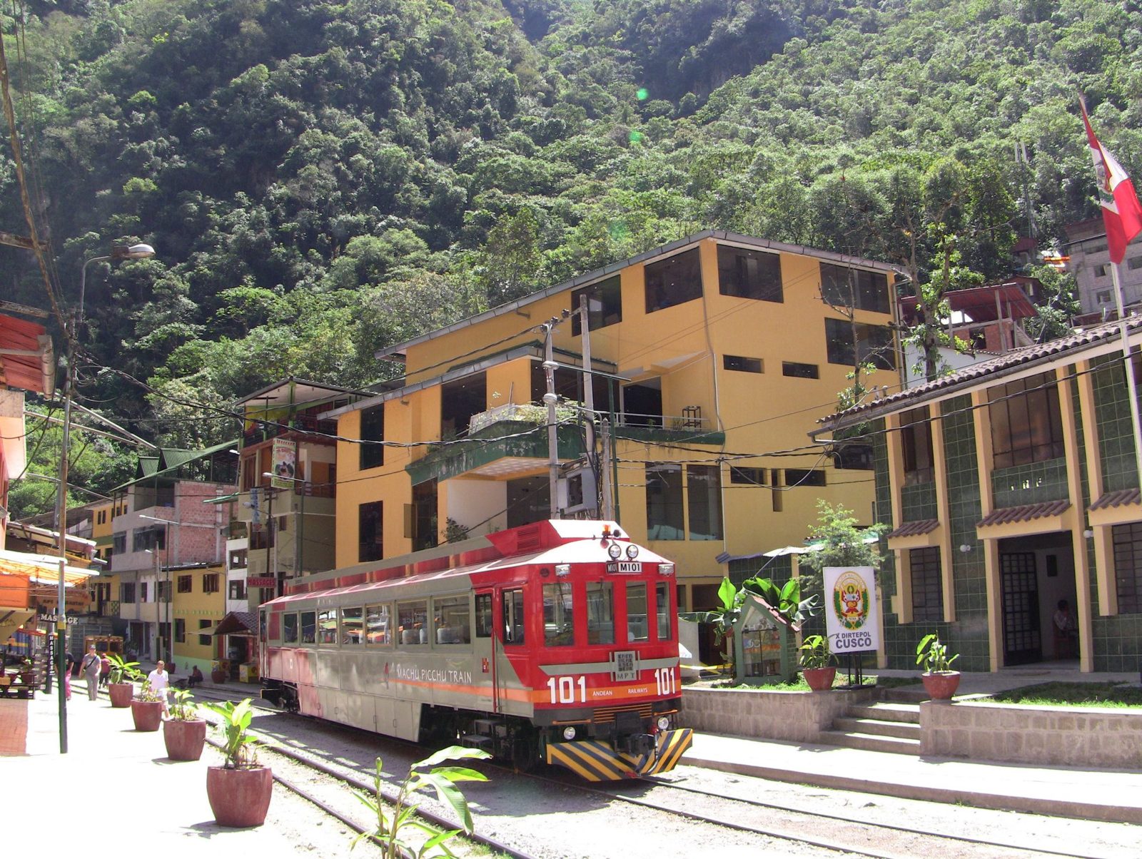
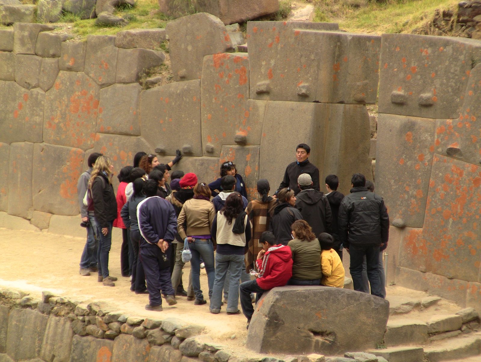
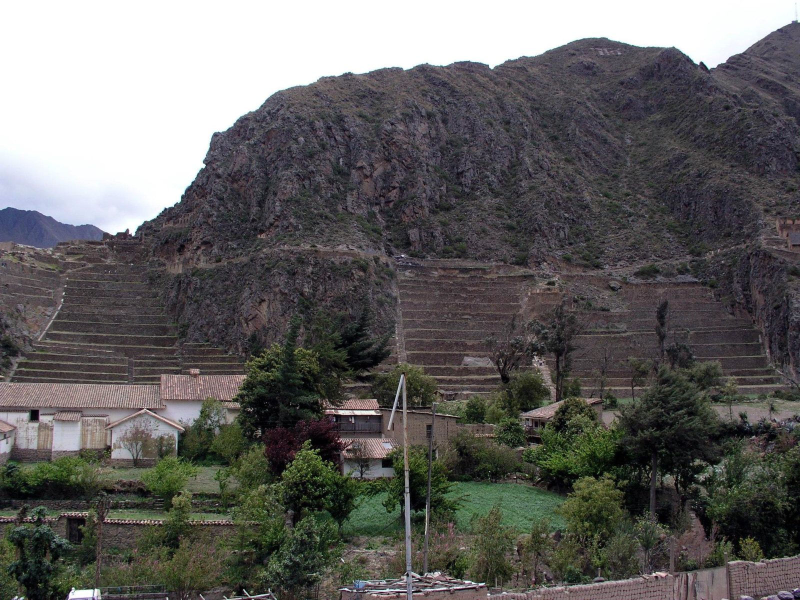
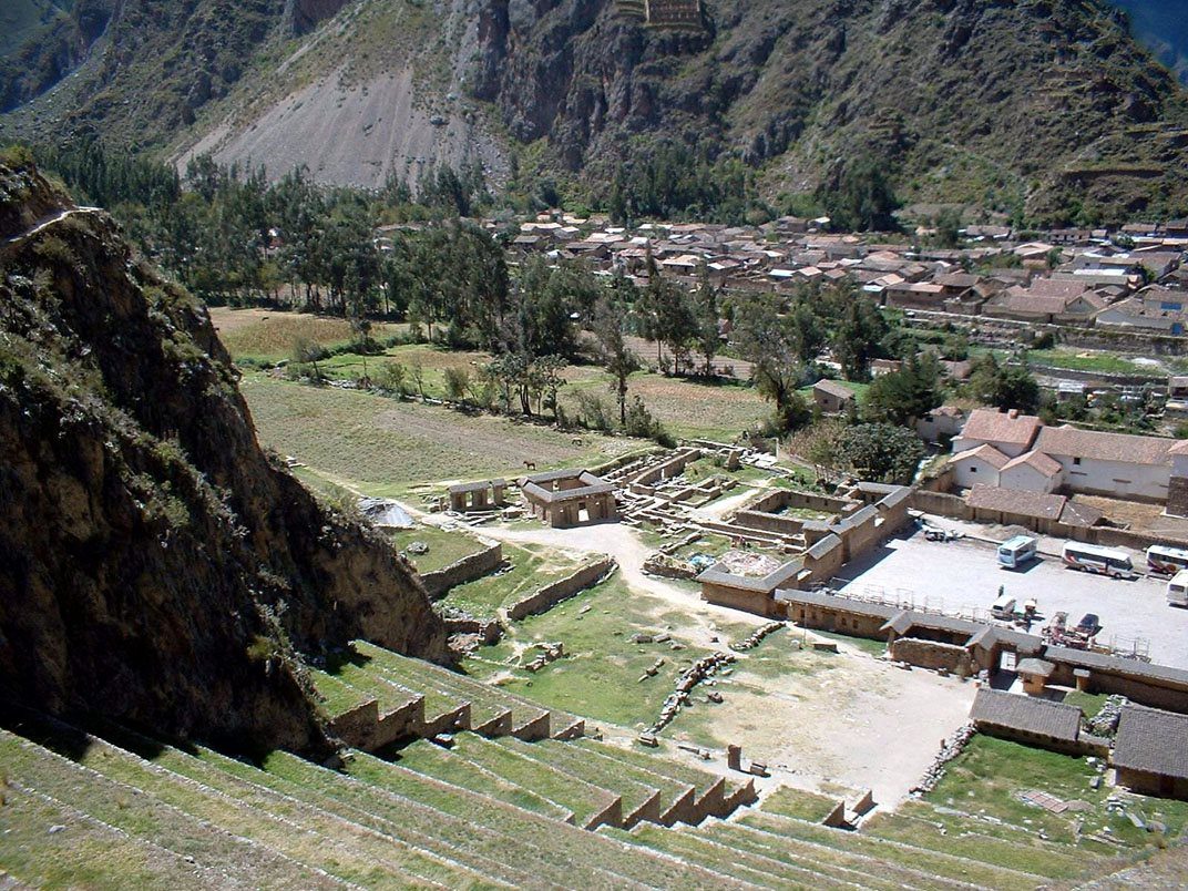
Knobs on fitted blocks. Protzen suggested such bosses may have been lever or positioning points; their purpose is still debated.Data: Stone: rhyolite · Est. weight: ~50–100 t (estimates) · Built: 15th centuryPhoto: Jani Korpi, CC BY-SA 3.0, Wikimedia CommonsThe Wall of the Six Monoliths: pink rhyolite hauled from the Kachiqhata quarry, about 4–5 km away across the river.Data: Stone: pink rhyolite · Quarry: Kachiqhata, ~4–5 km · Built: 15th centuryFitted niches on Temple Hill, where Manco Inca defeated a Spanish force in 1537.Trapezoidal niches. In the 1537 battle the Inca flooded the plain below to slow the Spanish cavalry.Stepped stonework high on the site; the temple was still being built when the Spanish arrived.The Pinkuylluna storehouses opposite: high, windy and cold, a natural way to keep food fresh.The Pinkuylluna storehouses on the slope opposite the town of Ollantaytambo: high, windy and cold, a natural way to keep food fresh.Fine joints. Thin strips of stone fill the gaps between the Six Monoliths.An Inca lane in town. Ollantaytambo is often called the oldest continuously inhabited town in South America.Carved blocks. Abandoned "tired stones" lie along the ramp from the quarry, left in transit.Precisely cut niches. Jean-Pierre Protzen studied the ramps and tools used here.Terraces climbing Temple Hill at Ollantaytambo (about 2,792 m), some 72 km by road from Cusco. Blocks for the temple were hauled up a ramp from the Kachiqhata quarry across the river.A doorway in the upper sector. Inca doorways lean inward, which helps them stand through earthquakes.Large blocks near the top. The heaviest blocks here are estimated at roughly 50–100 t; the site was never finished.Stone walls in town, which still follows its Inca street plan of walled blocks (canchas).The train station: from here the railway follows the Urubamba toward Machu Picchu.Visitors on the Temple Hill terraces; the walls are fitted without mortar. Photo: Jani Korpi, CC BY-SA 3.0, Wikimedia Commons
The cliff above Pisac is riddled with tombs, making it one of the largest known Inca cemeteries.
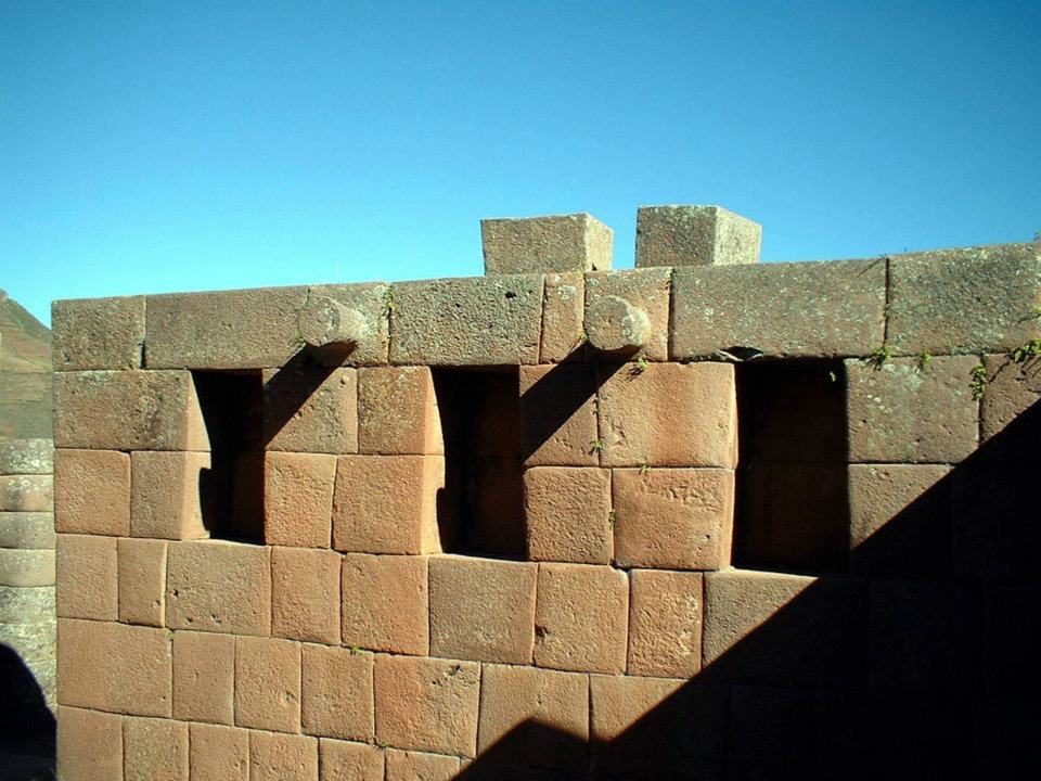
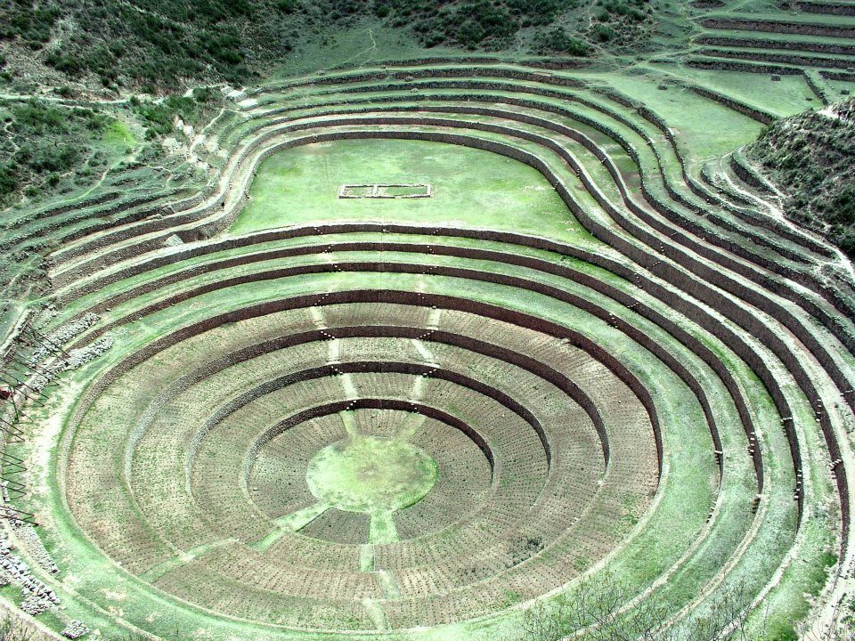
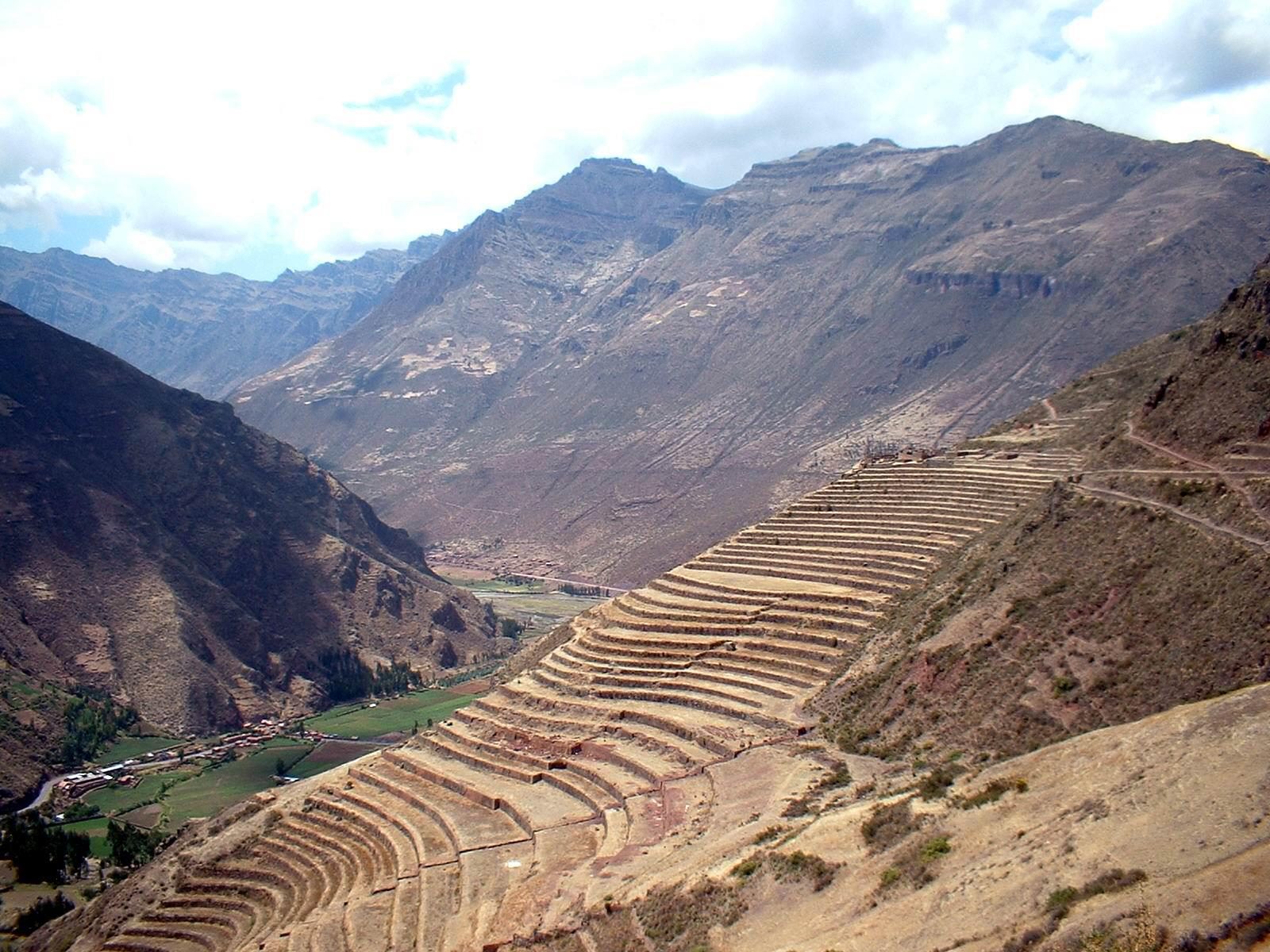
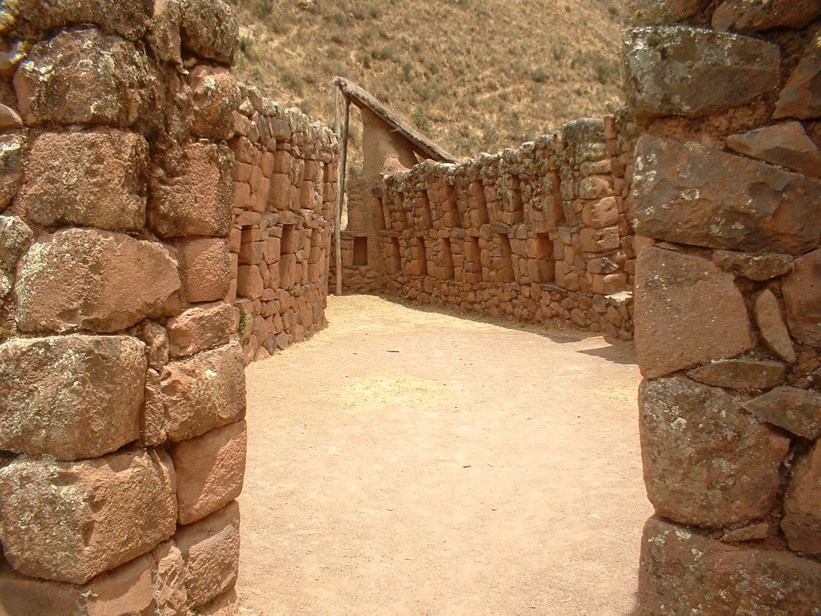
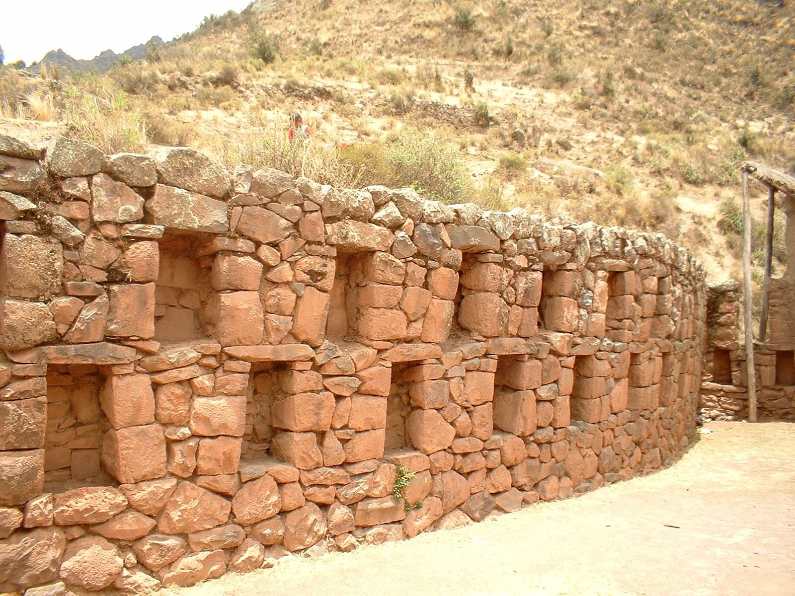
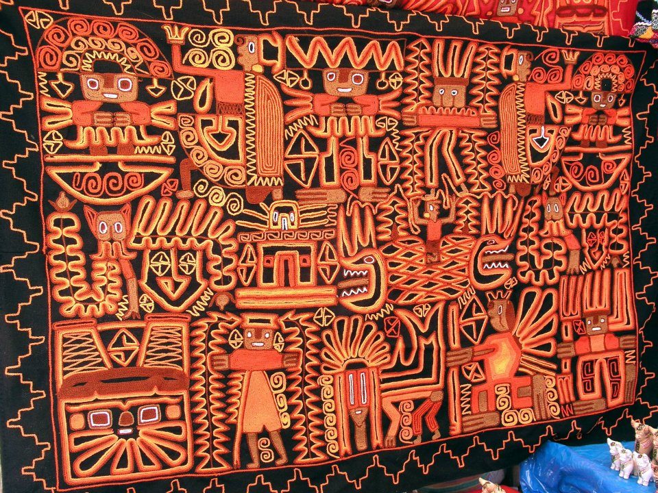
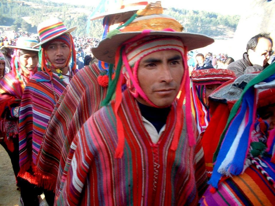
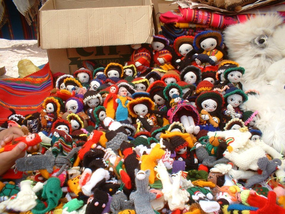
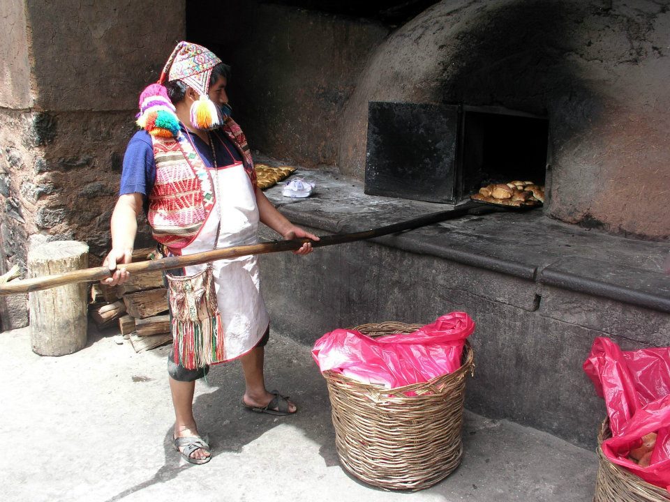
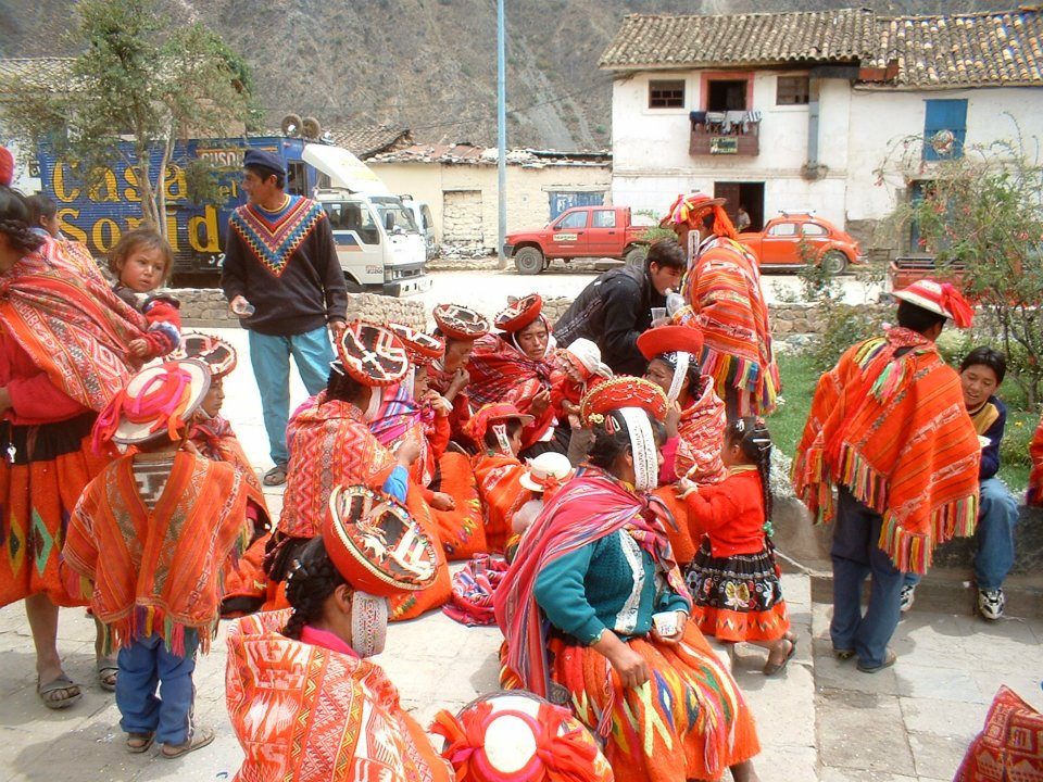
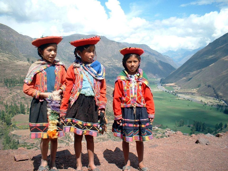
Terraces above the Sacred Valley, probably at Pisac (not confirmed from the photo). Inca terraces combine stone retaining walls with layered fill that drains rainwater.Moray's circular terraces: about 30 m deep, with temperature differences of up to 15 °C between top and bottom.Data: Depth: ~30 m · Temperature difference: up to 15 °CPisac ruins. The cliff behind holds hundreds of tombs, one of the largest known Inca cemeteries.The Sacred Valley floor, lower and warmer than Cusco, was prime maize land for the Inca.Fitted walls with niches in the ritual sector, which has its own Intihuatana stone.A row of niches in a terrace wall; niches are thought to have held offerings or objects.Stonework in a ruined sector. Fortified sectors here guarded the entrance to the valley.Textiles at the Pisac market, which is busiest on Sundays.Traditional dress at the market; patterns often identify a wearer's home community.Dolls and souvenirs, many of alpaca wool, a fibre spun in the Andes for thousands of years.A traditional clay oven; Pisac is known for its wood-fired bread.Women in red ponchos from the surrounding communities.Children in traditional dress. Quechua is still the first language of many families here.
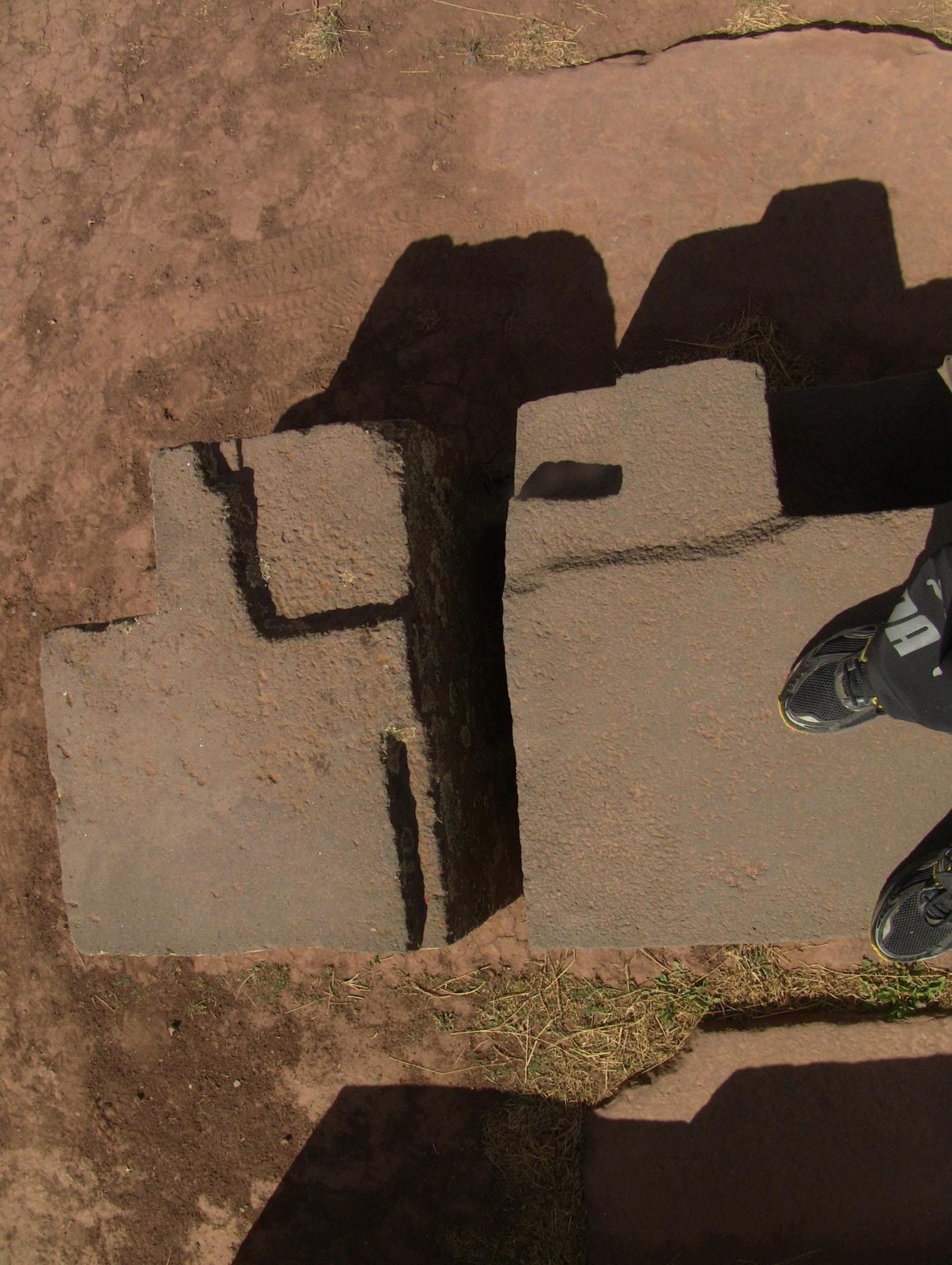
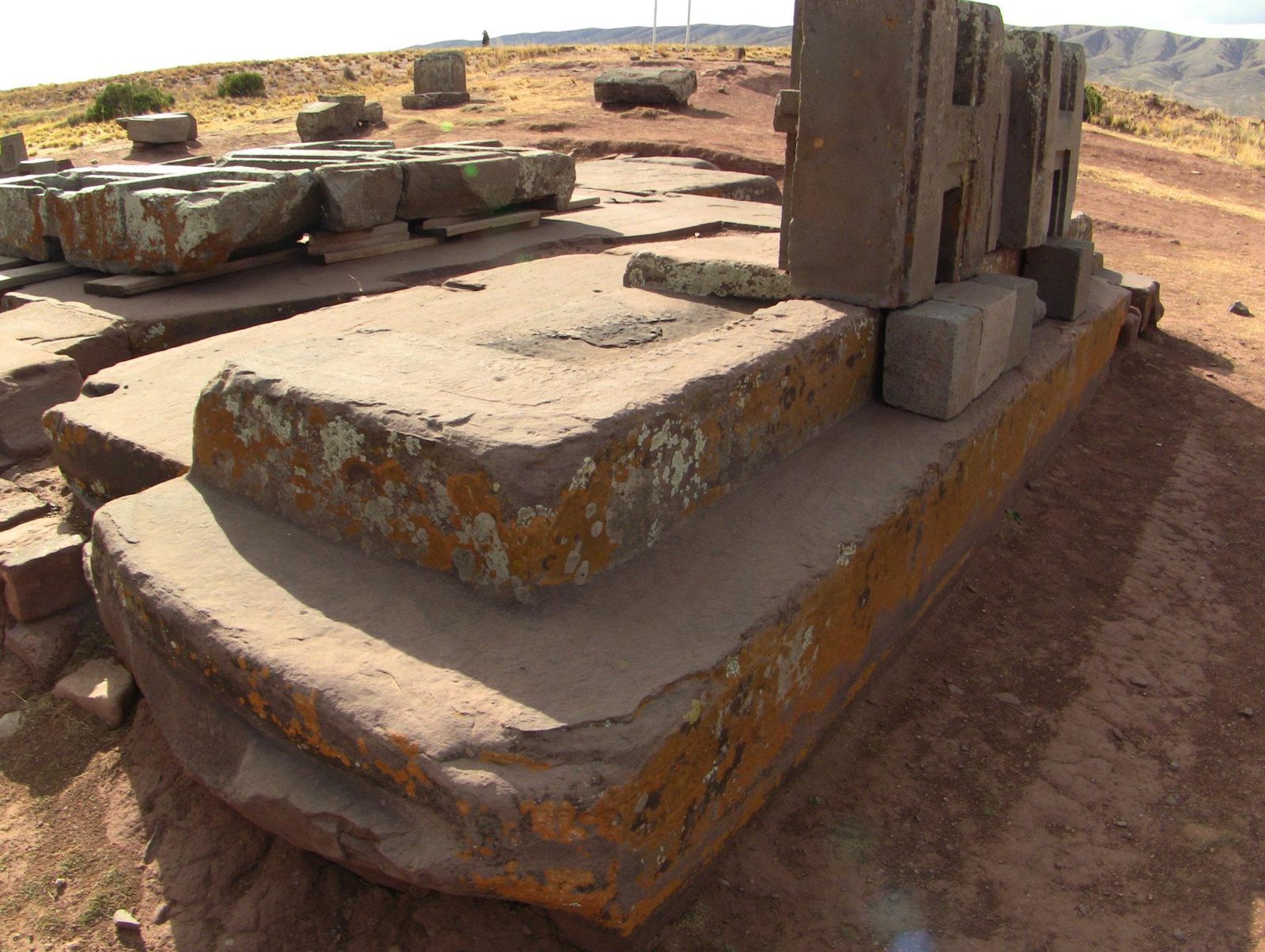
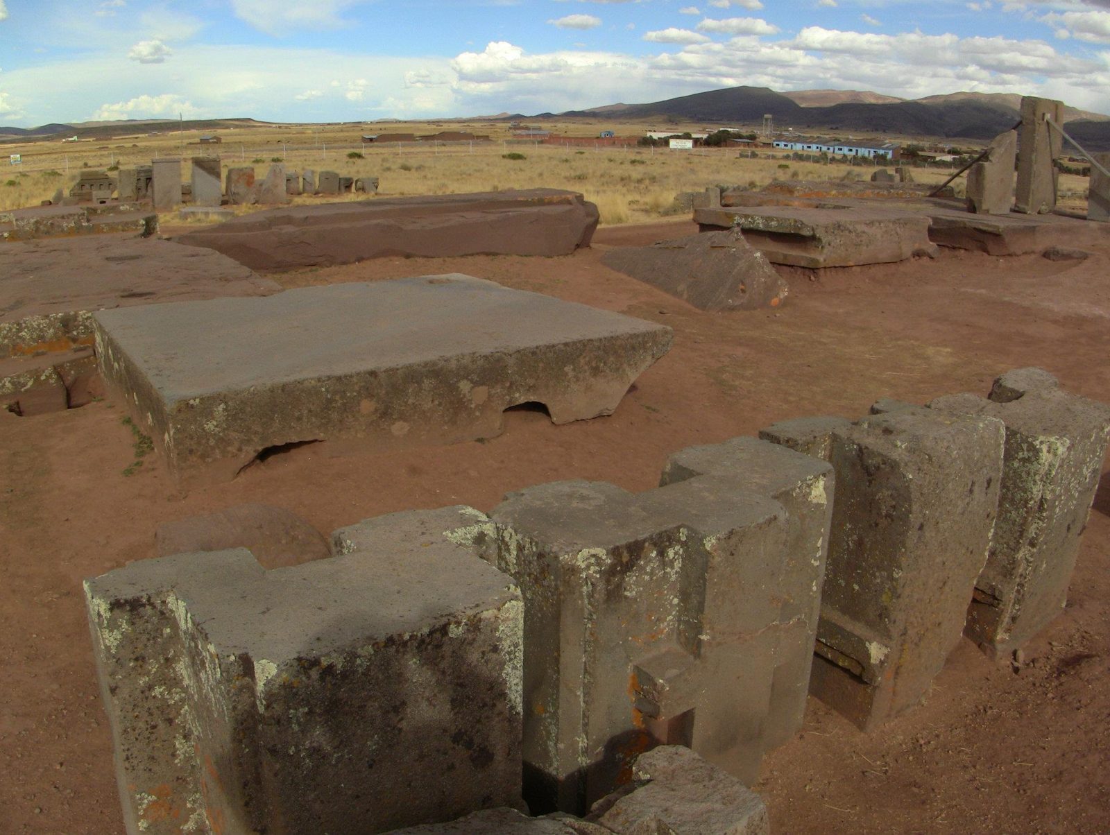
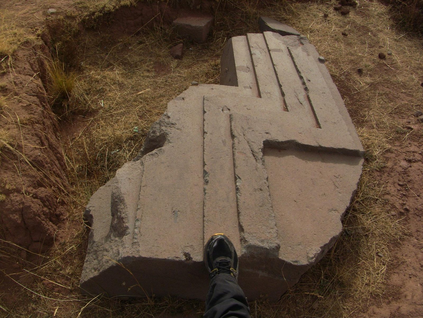
The same H-shaped block appears again and again at Puma Punku, cut with flat faces and sharp inner angles.
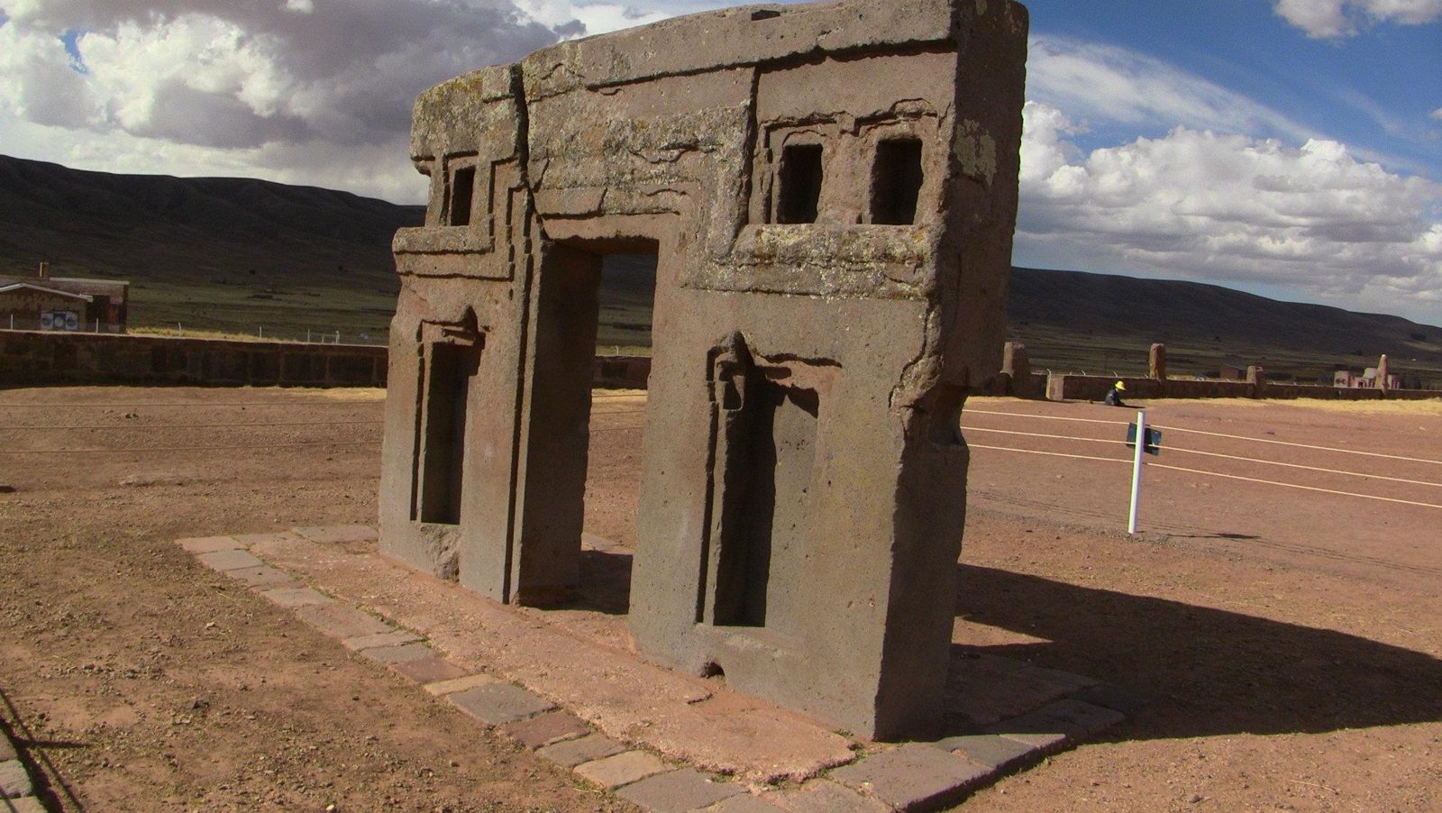
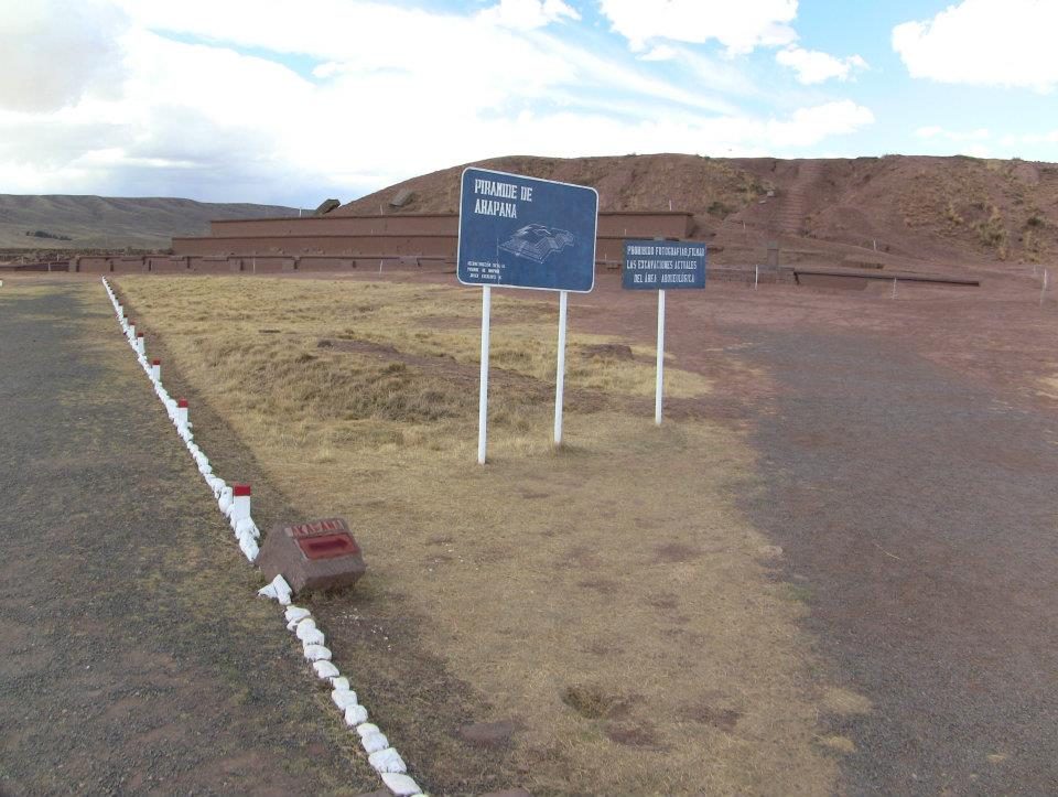
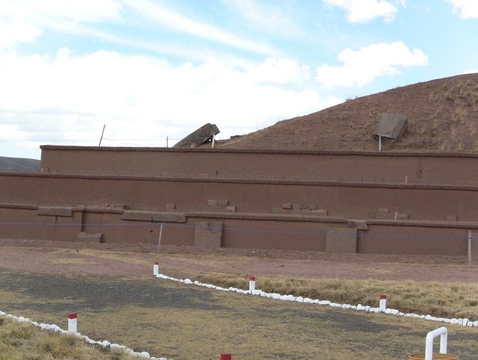
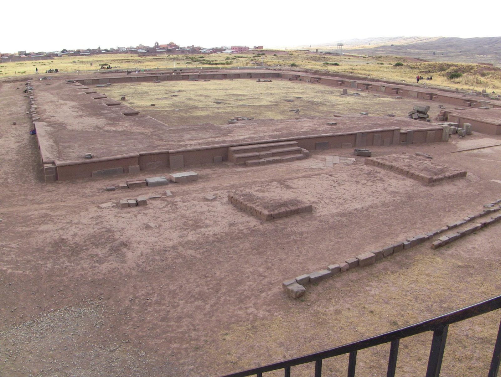
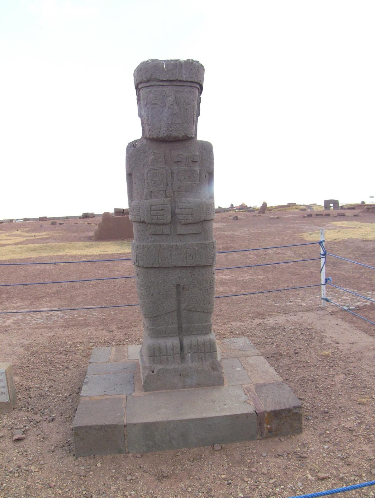
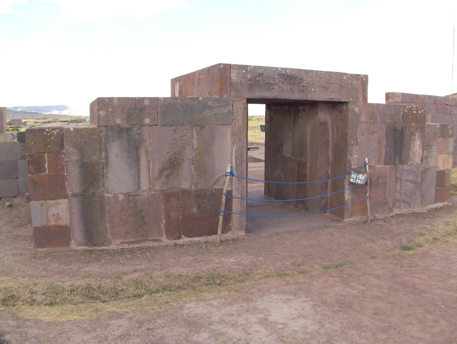
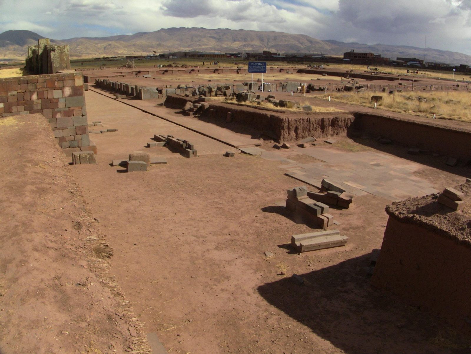
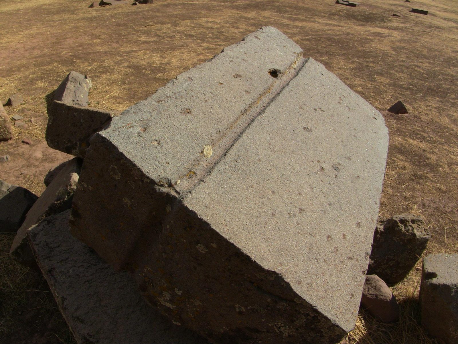
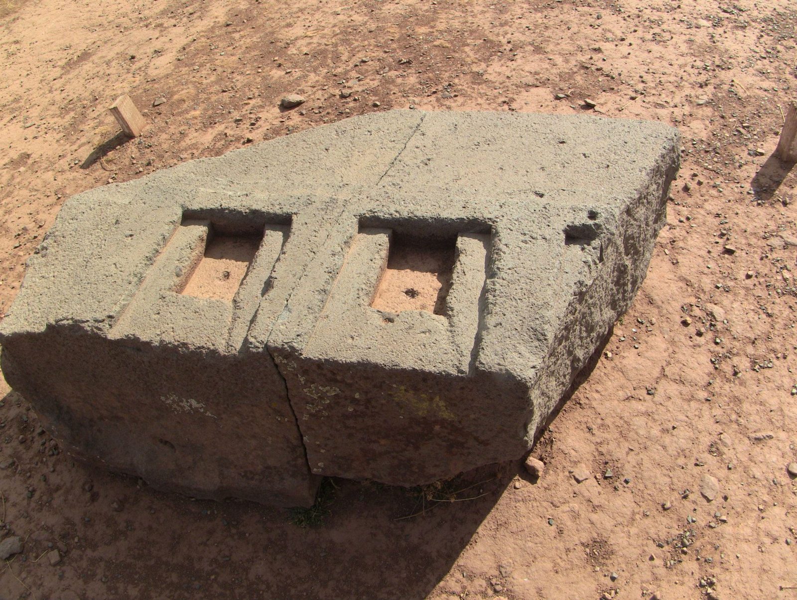
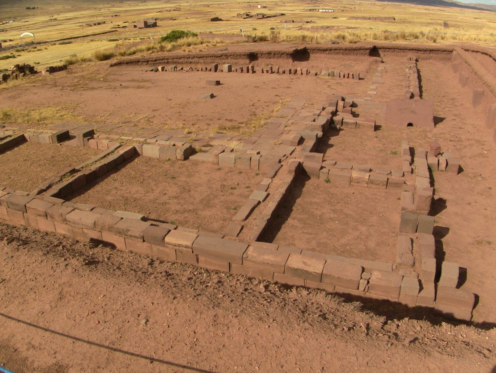
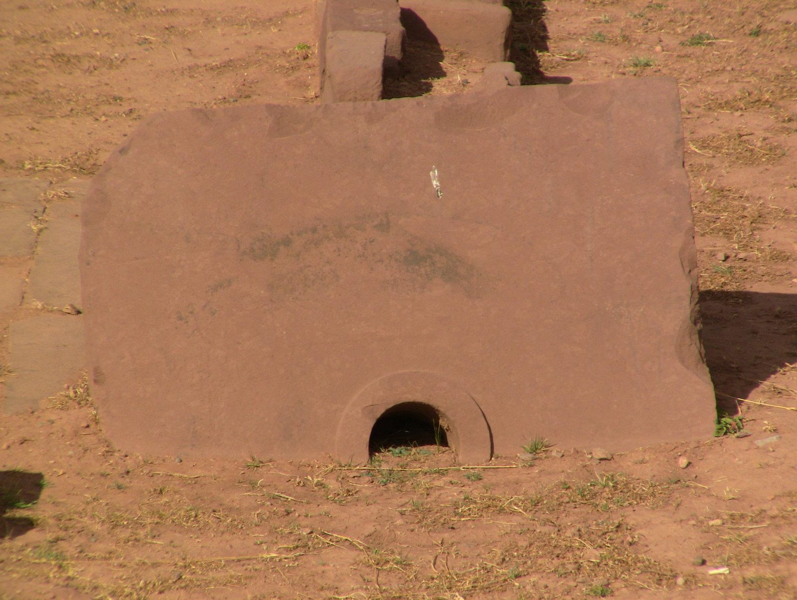
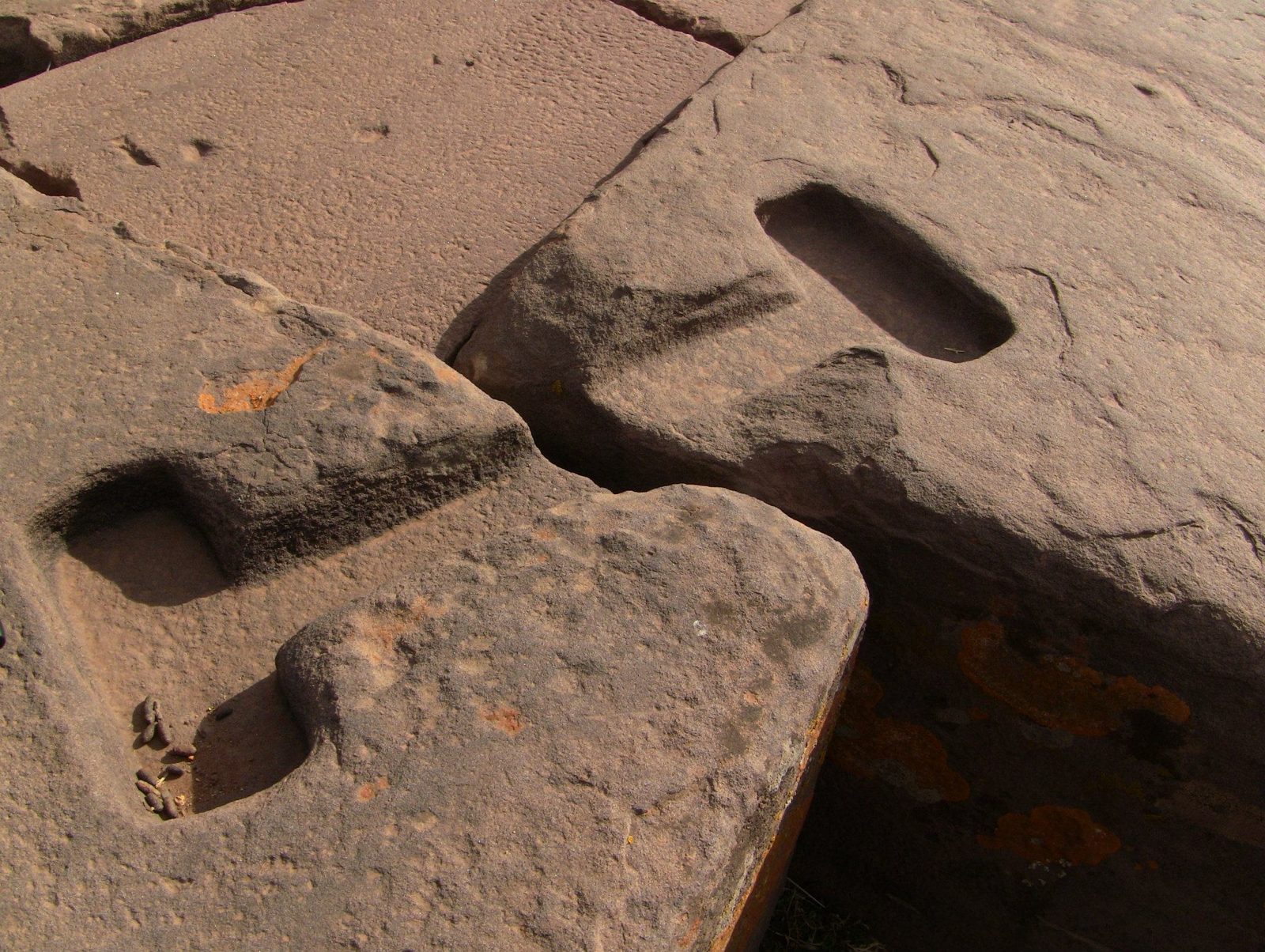
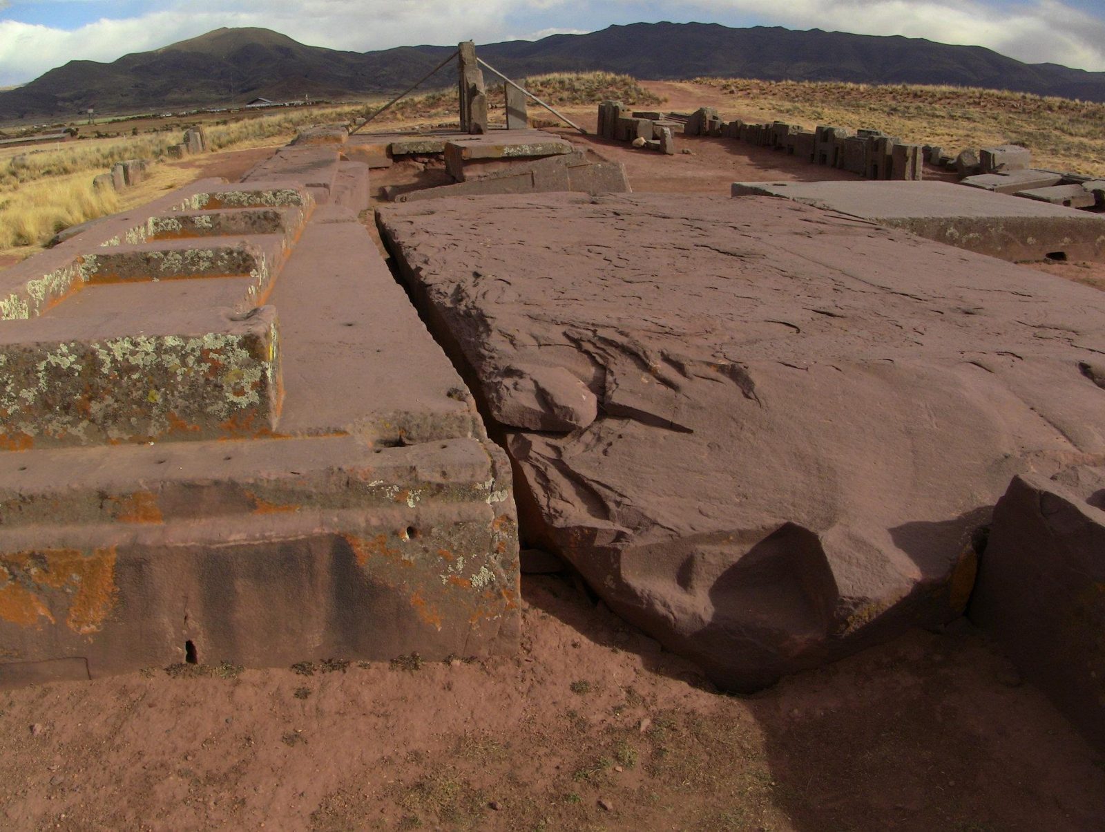
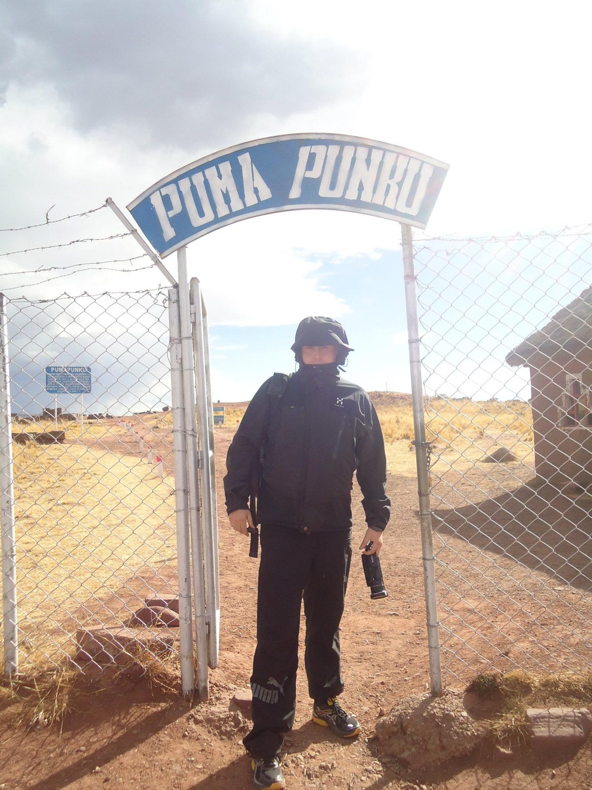
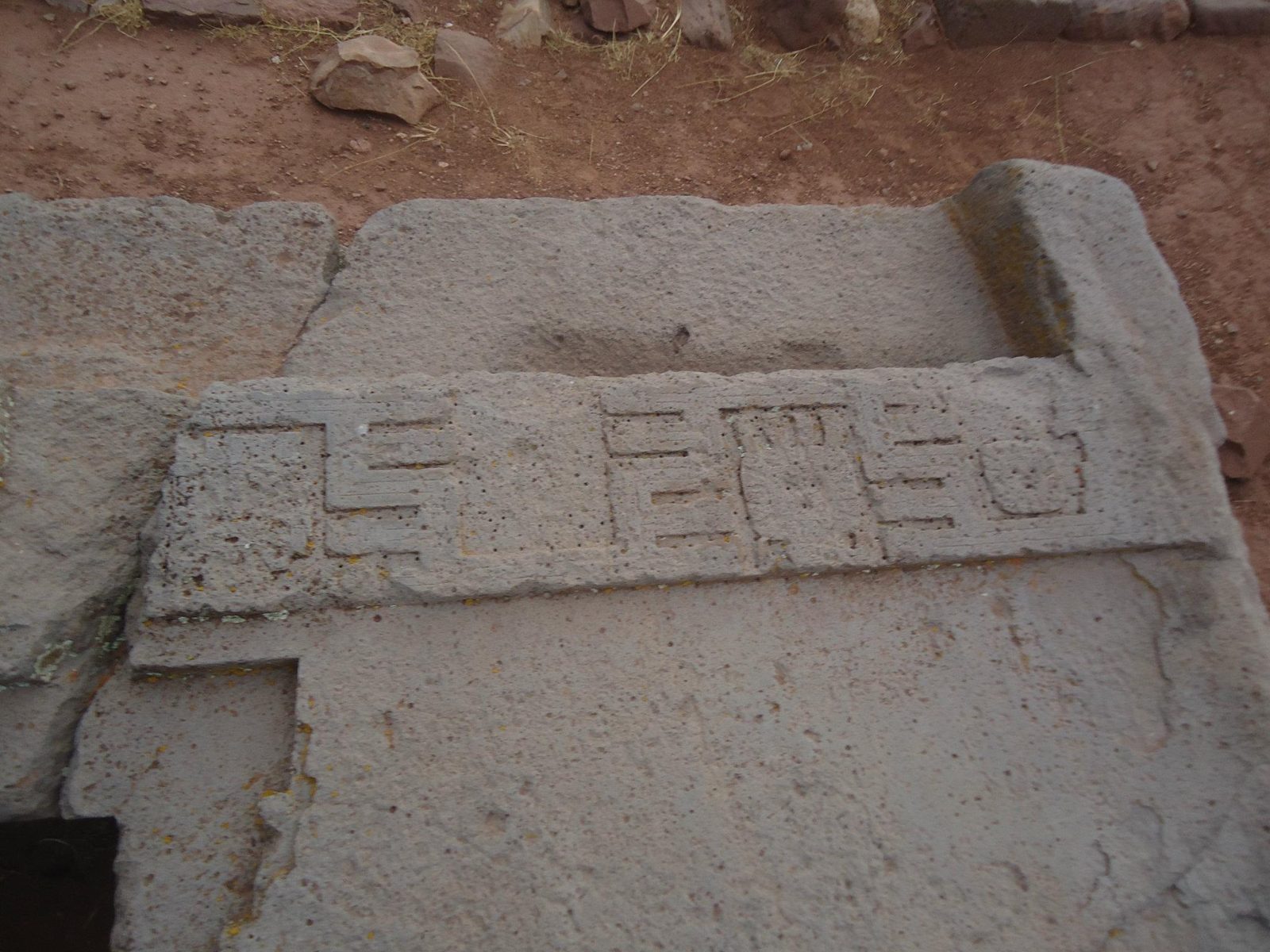
The Gate of the Sun, carved from a single block of andesite: about 3 m tall and 4 m wide.Data: Stone: andesiteThe Akapana pyramid: 257 by 197 m and 16.5 m tall, Tiwanaku's largest structure.Data: Size: 257 × 197 m · Height: 16.5 mThe Akapana. Much of its stone facing was later removed, leaving an earthen mound.The Semi-subterranean Temple, whose walls hold dozens of carved stone heads.A carved statue. Tiwanaku monoliths such as the Ponce Monolith hold ritual objects in their hands.The Kalasasaya gateway and monolith. The walls were reconstructed from the late 1950s onwards.The Tiwanaku temple area, a UNESCO site since 2000.An H-block. One study measured repeating blocks of about 97 × 99 × 55 cm.Data: Stone: andesiteA precisely cut andesite block; andesite came from quarries across Lake Titicaca.Recesses cut to join blocks; I-shaped sockets held cramps of copper-arsenic-nickel bronze.The great platform slabs of red sandstone, from a quarry roughly 10 km away.A slab with a carved channel, possibly for water drainage.Stacked blocks on the Pumapunku platform (about 3,850 m). The mound had three levels of stone retaining walls, and the platform once carried as many as eight andesite gateways.Small recesses and slots: bronze cramps were used in some joints.A giant sandstone slab. The largest published lengths are about 8 m (7.81 m and 8.12 m); this photograph has not been identified as the very largest slab.Data: Stone: red sandstone · Built: about AD 580–710Pumapunku blocks: red sandstone from a quarry about 10 km away, andesite from the Copacabana Peninsula some 90 km away across Lake Titicaca. Radiocarbon dates place the stonework after about AD 536–600.Scattered blocks, moved by looting, colonial stone robbing and probably earthquakes.A block with a cross-shaped cut. Open question: how exactly were such inner angles finished with stone tools?The Puma Punku entrance. The name is usually translated as "Gate of the Puma".Repeated H-forms suggest the masons worked to templates.
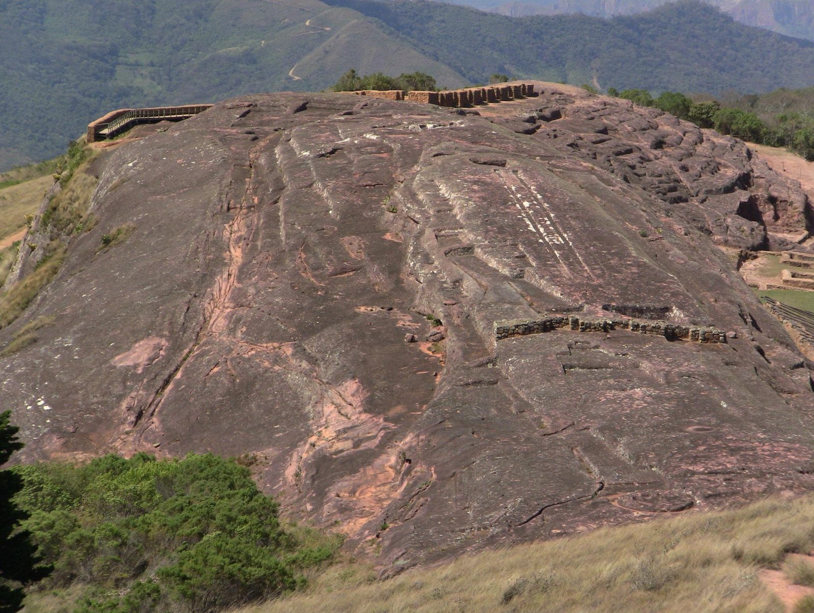
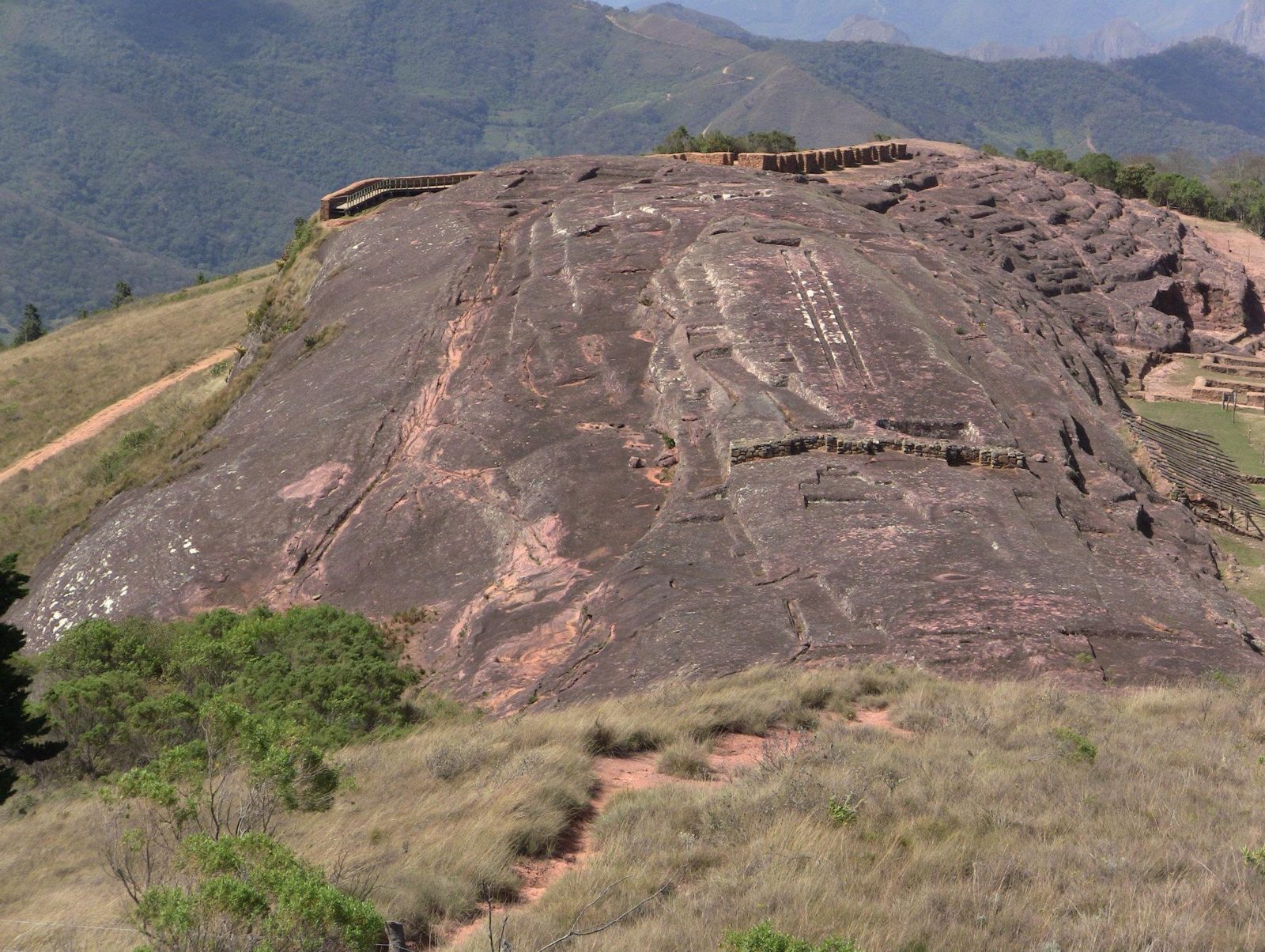
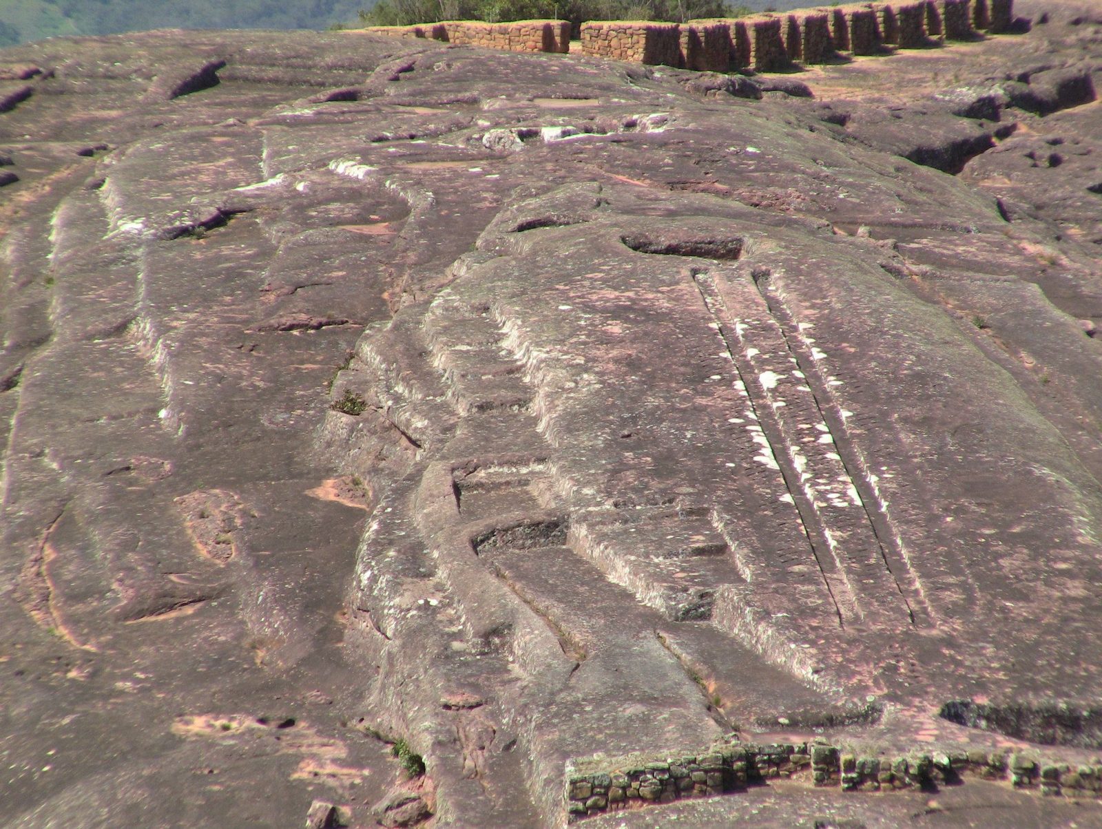
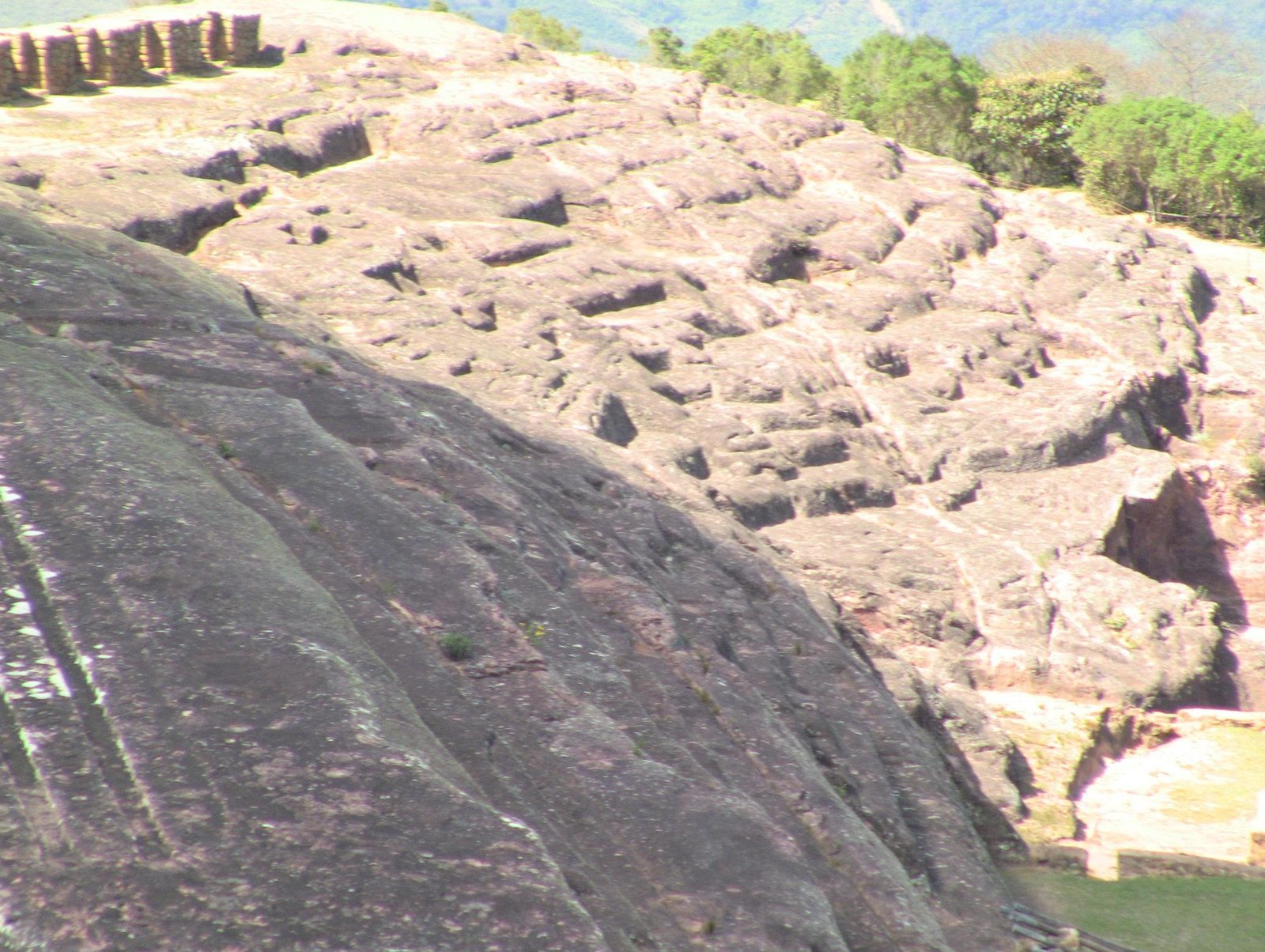
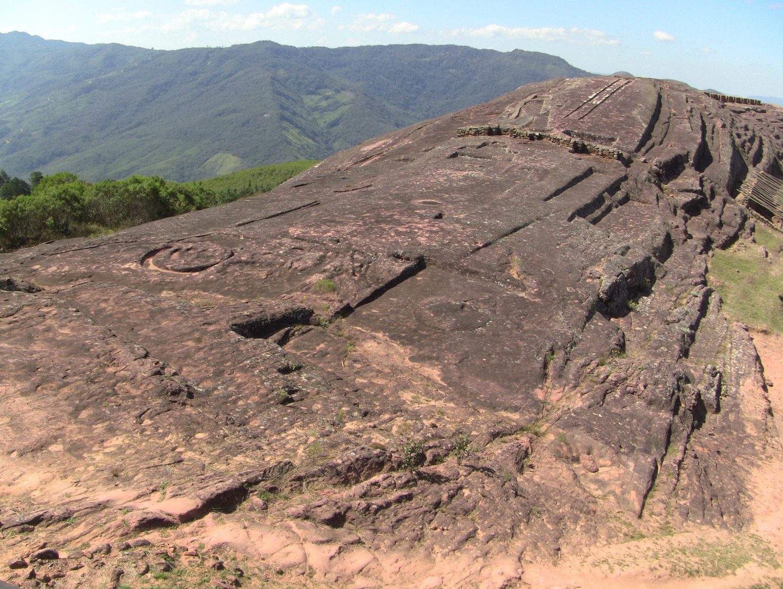
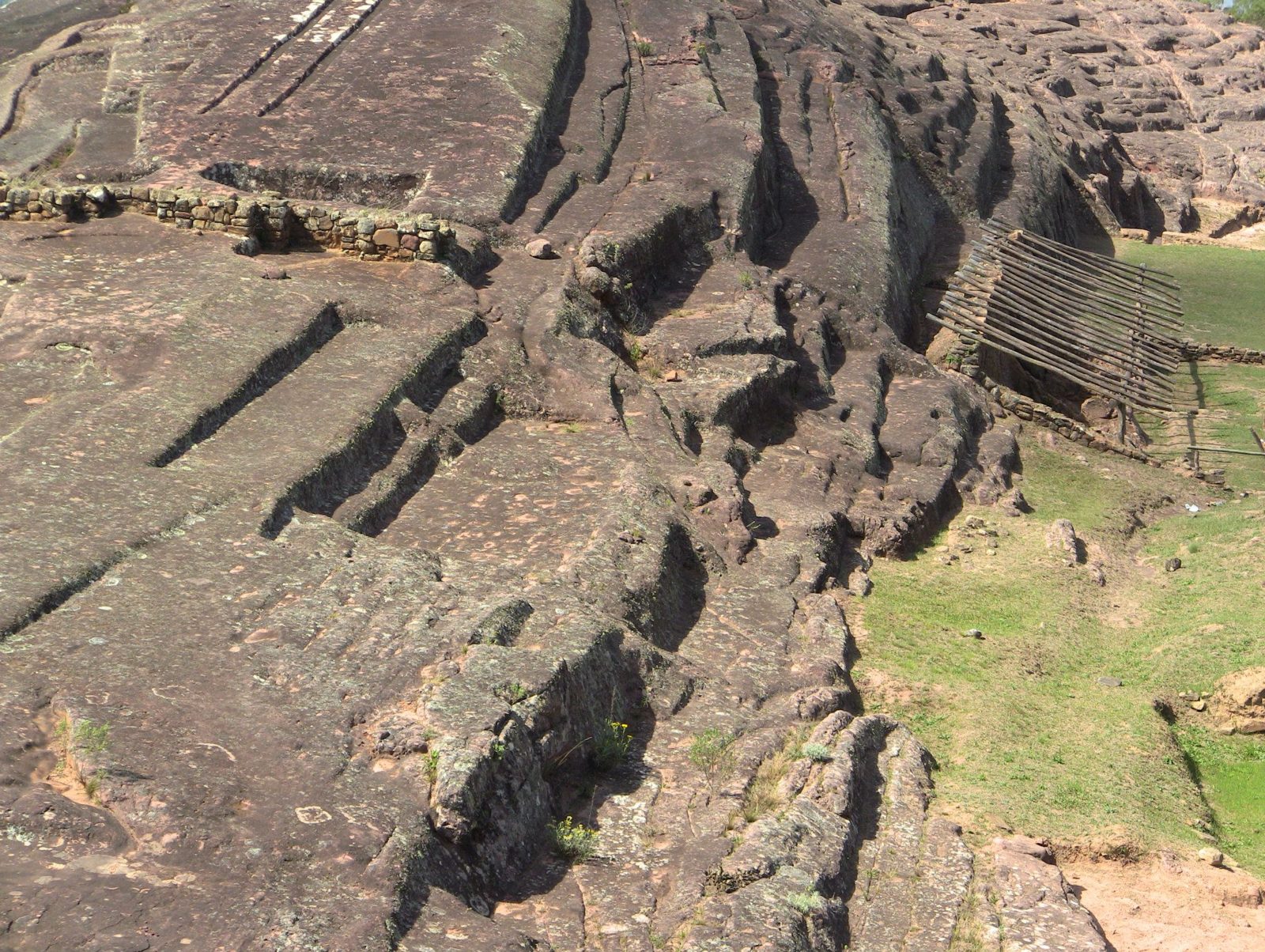
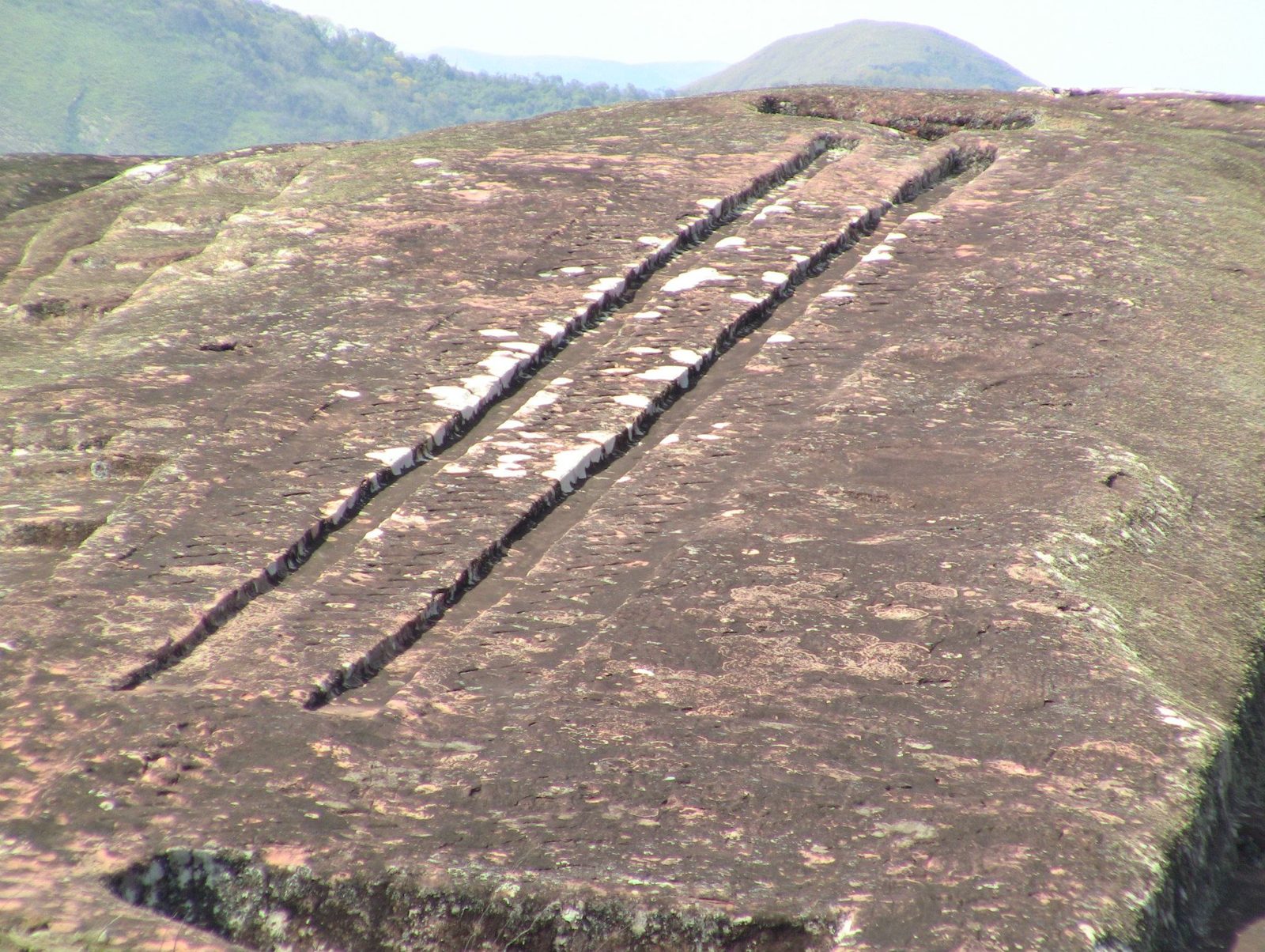
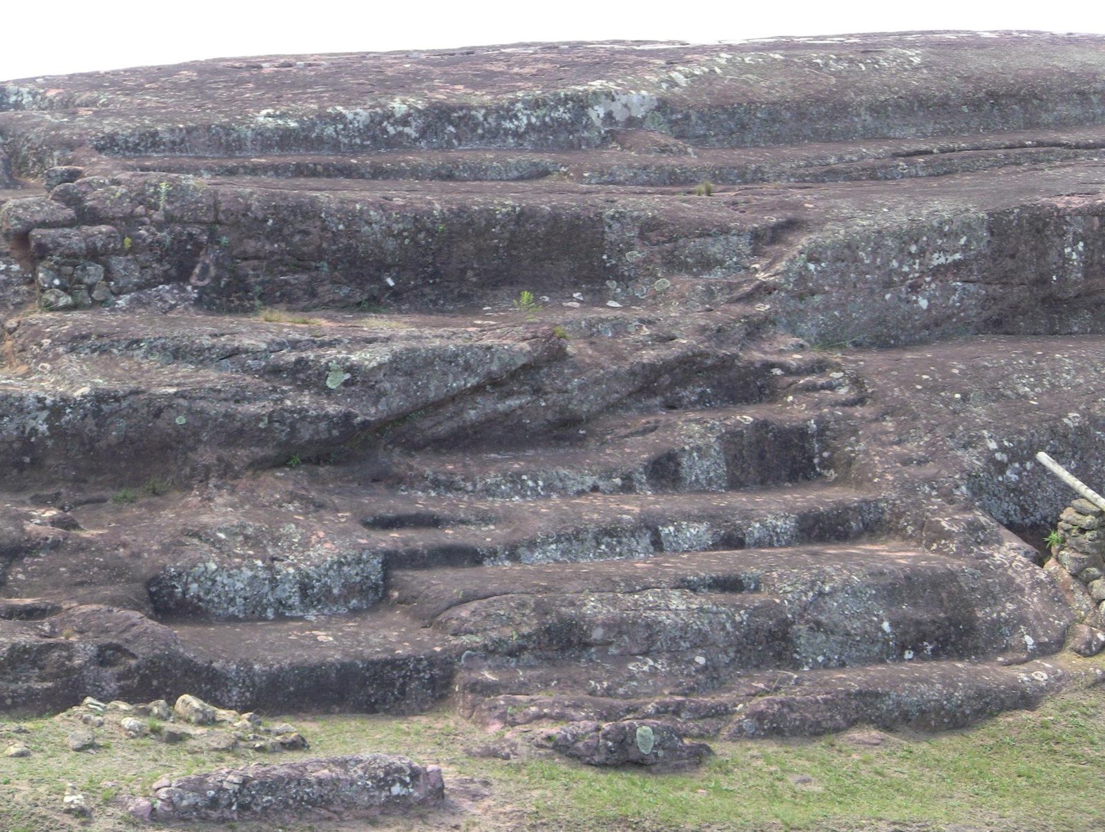
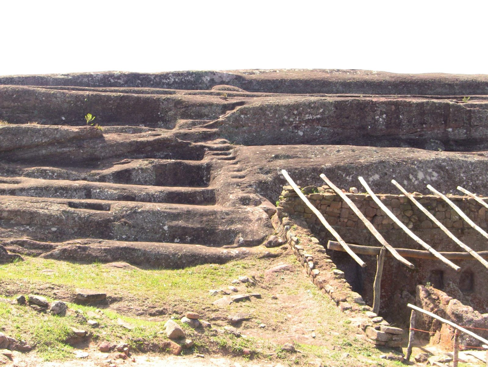
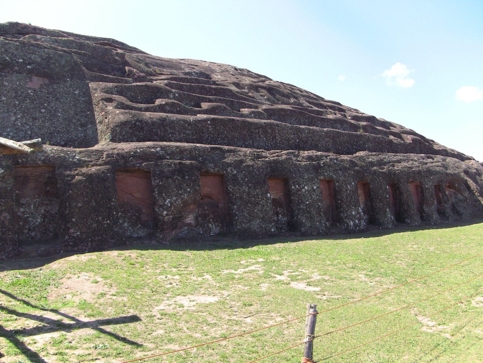
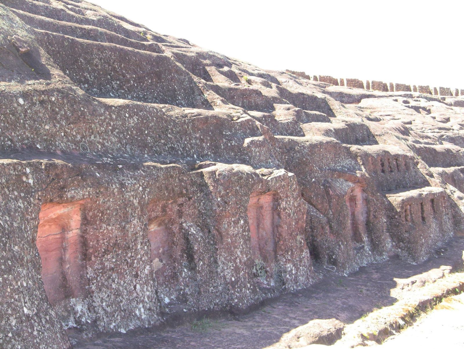
A whole sandstone ridge, about 220 metres long, carved into channels, seats, niches and animal figures.
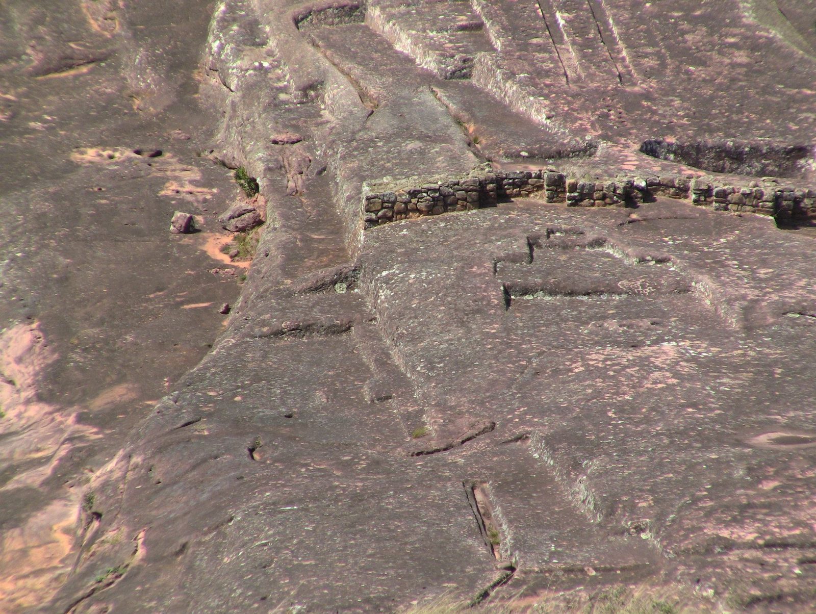
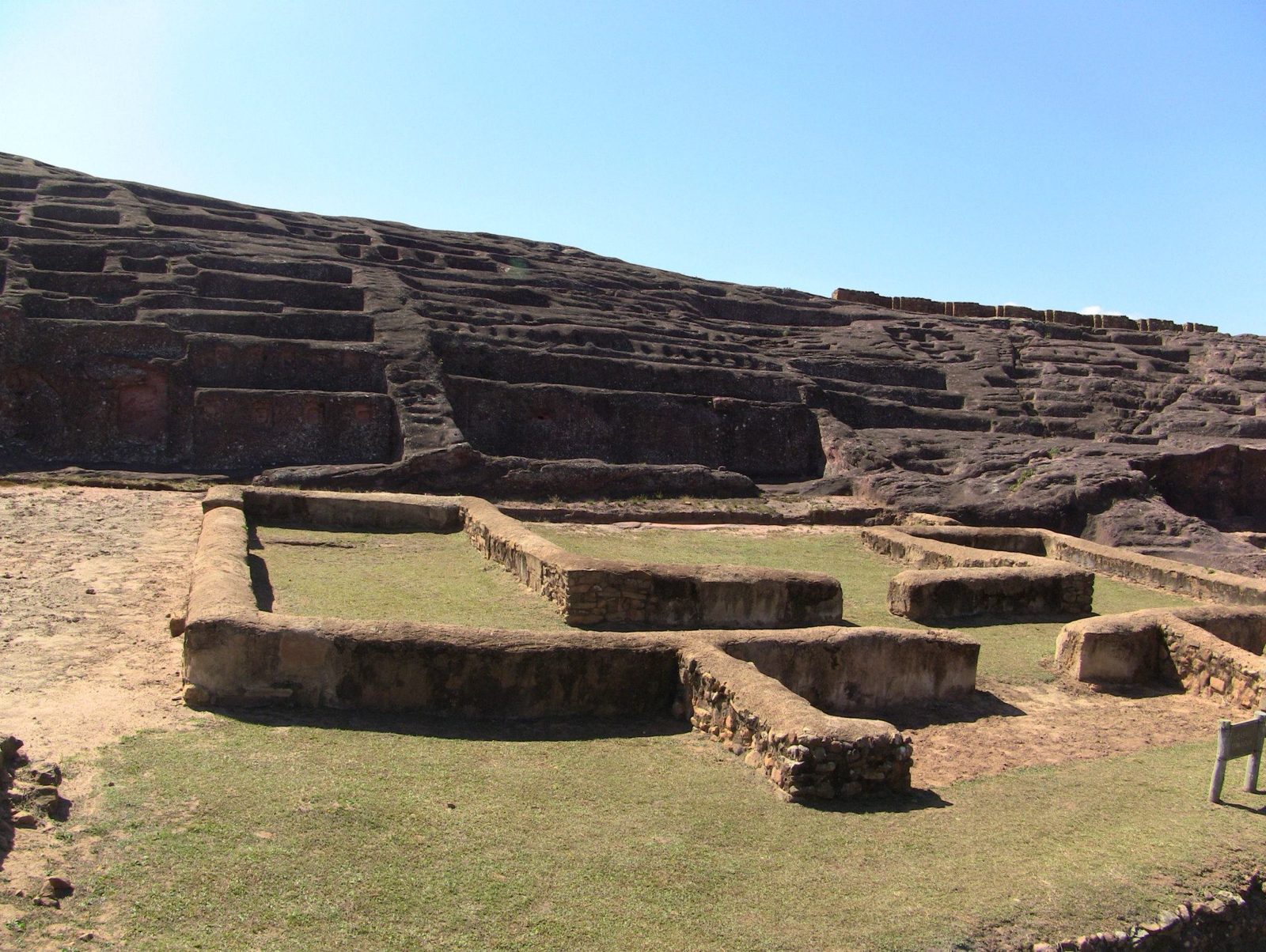
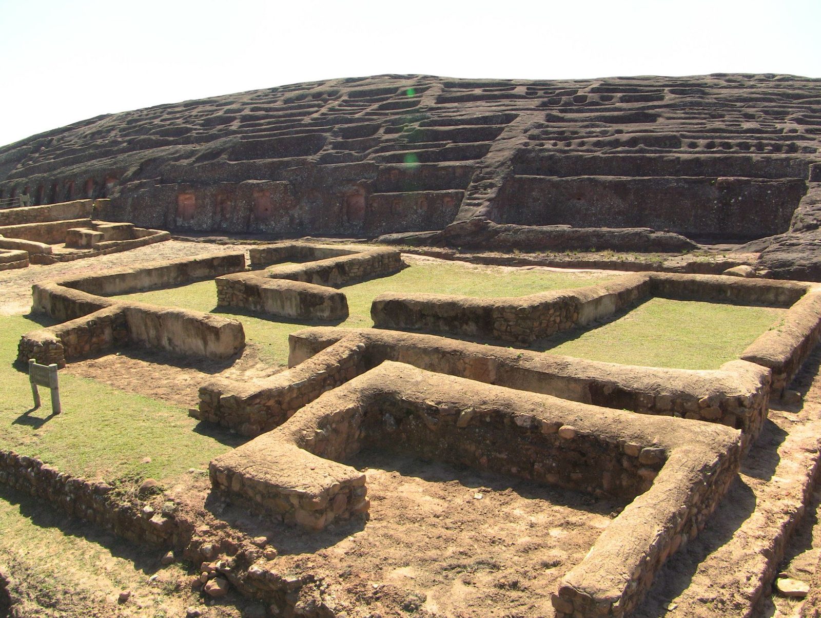
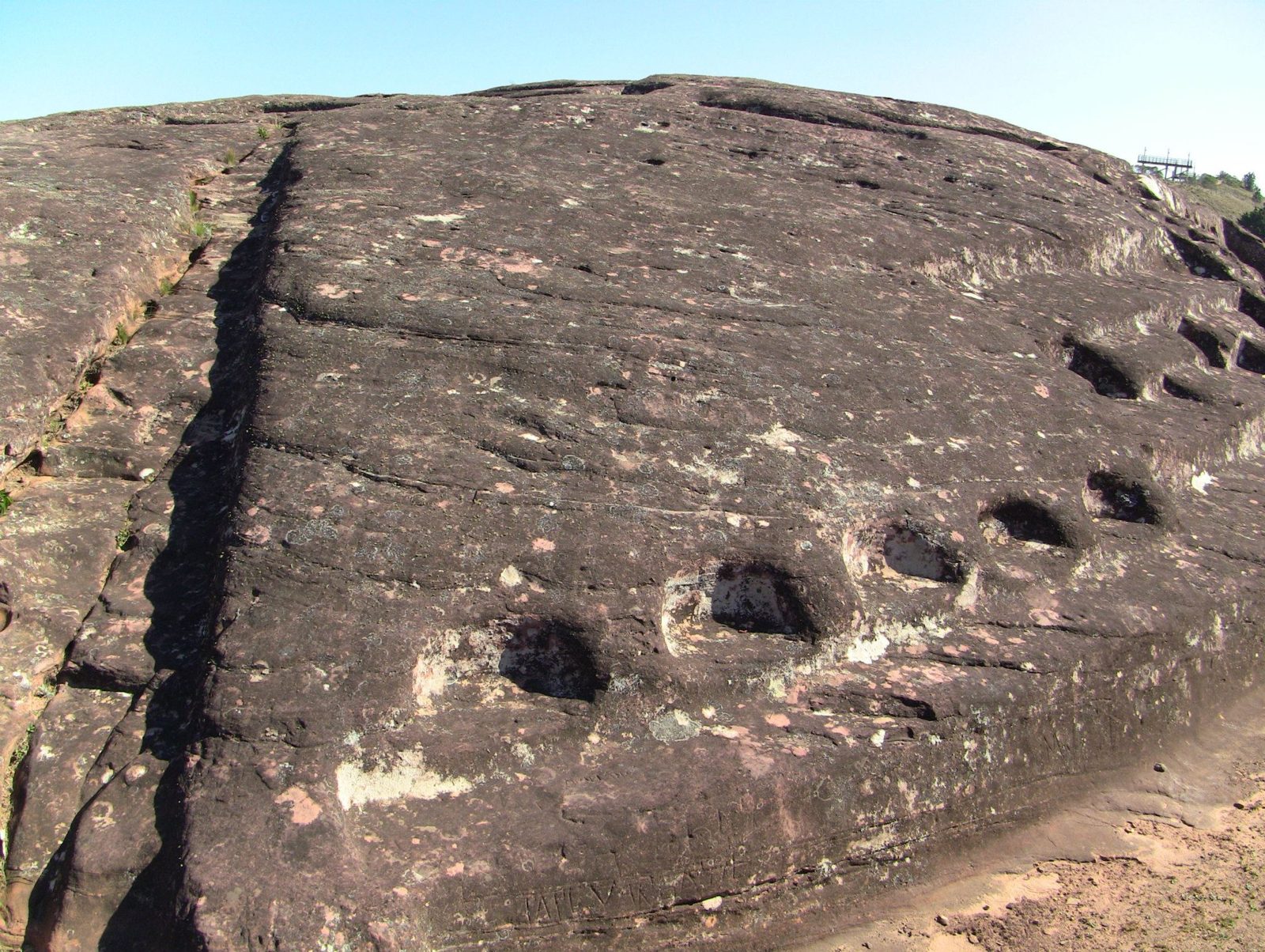
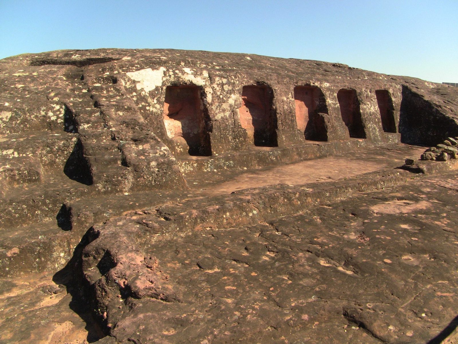
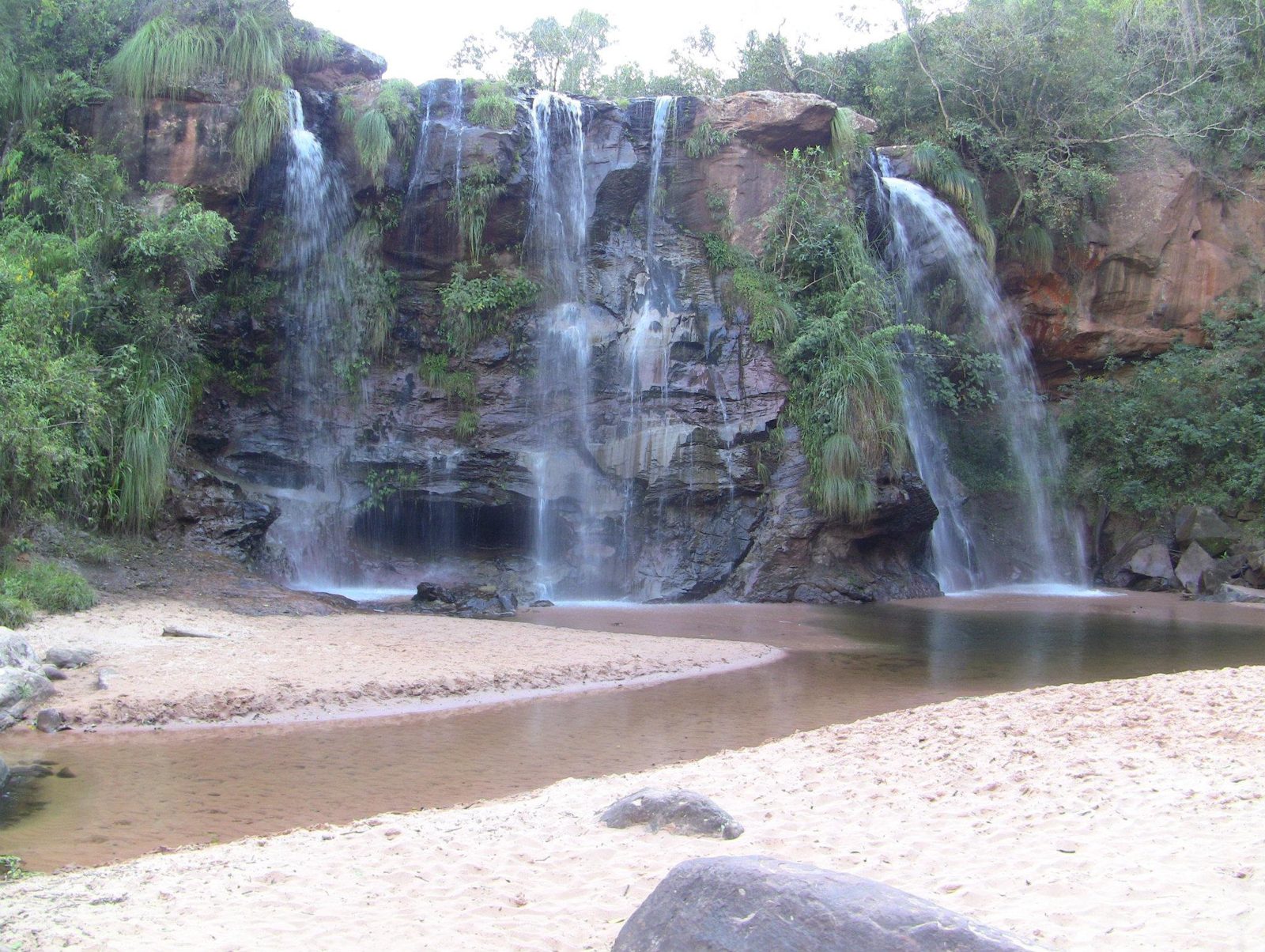
The carved sandstone ridge of El Fuerte, a UNESCO site since 1998.Data: Stone: sandstone · Length: ~220 m · UNESCO: 1998The sculpted rock saddle is about 220 × 60 m and almost entirely covered with Inca and pre-Inca carvings; carving probably began with the Chané around AD 300.Channels and shapes cut into the rock; felines and serpents are among the carvings.Carved basins, often interpreted as places for liquid offerings.Niches along the rock face. The Inca took the site under Tupac Yupanqui (1471–93).The carved rock. El Fuerte is unusual in holding the work of three cultures on one site: Chané, Inca and Spanish.The two long parallel grooves. Researchers favour ritual water channels; the "launch ramp" idea has no support.The grooves along the crest. The earliest carving is linked to the Mojocoyas period (c. AD 200–800); individual cuts cannot be dated, so which are pre-Inca is not always clear.Niches cut into the rock wall, similar to those in Inca buildings.Inca-era foundations. The site was a frontier post facing the Chiriguanos (Guaraní).The rock face. Visitors may no longer walk on the rock because erosion threatens the carvings.Weathered niches: soft sandstone erodes fast in rain and wind.Foundations of later buildings. The Spanish occupied the site from the 1570s and founded a settlement in 1615.Inca sector walls. The great Inca hall (kallanka) here measured about 68 by 16 m.Data: Size: ~68 × 16 mA groove with carved notches. Open question: what the notches were for is unknown.Carved niches below the rock. Open question: their use is not recorded; offerings or idols are common guesses.Las Cuevas waterfalls near Samaipata, on the edge of Amboró National Park.
This salt flat is so flat that it is used to calibrate satellite altimeters.
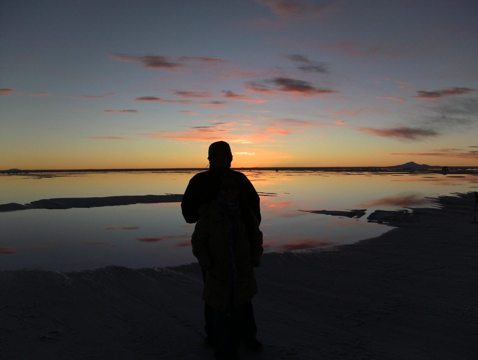
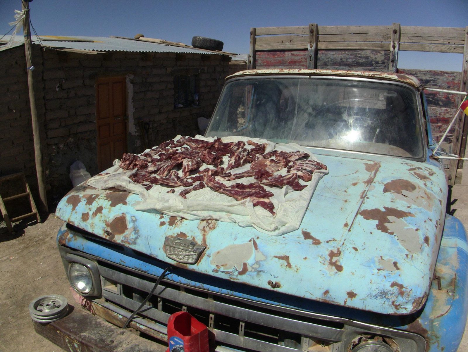
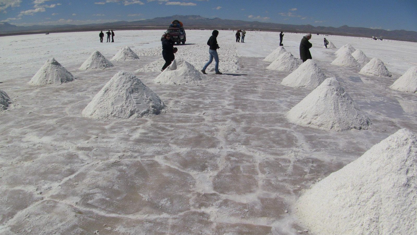
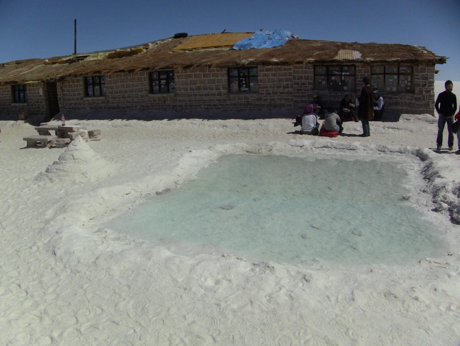
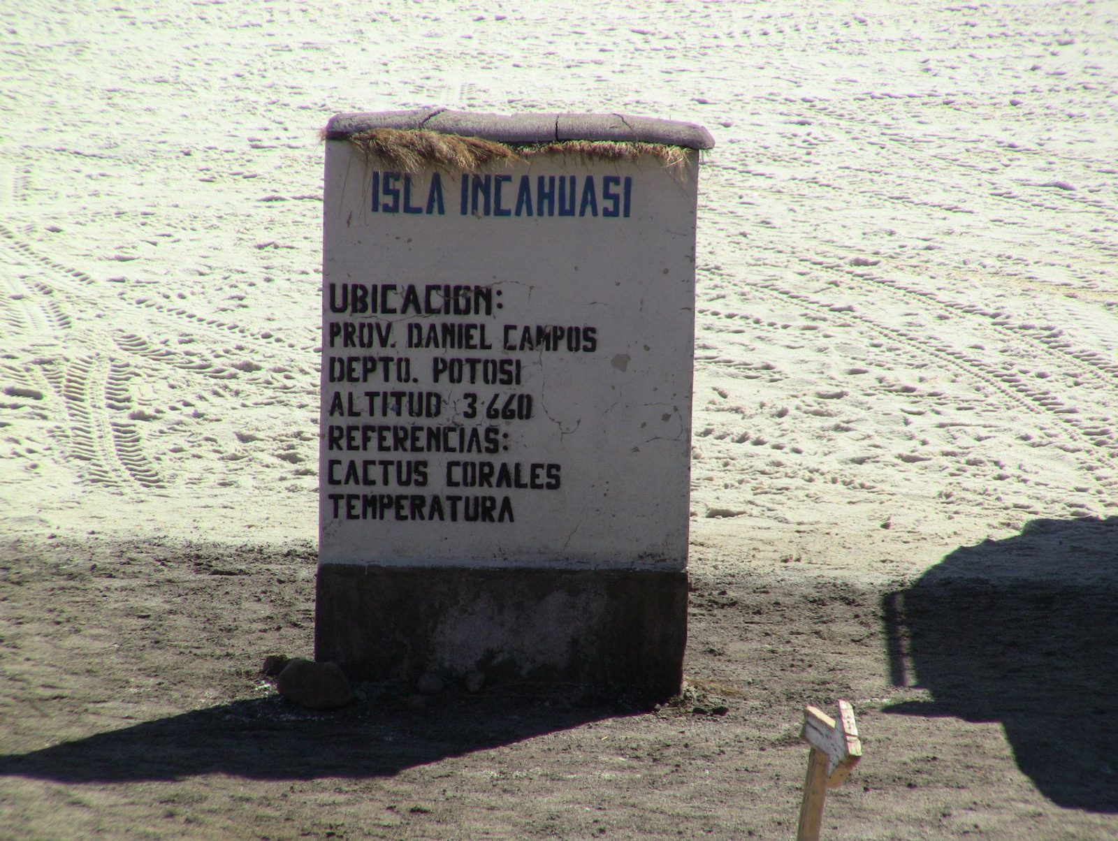
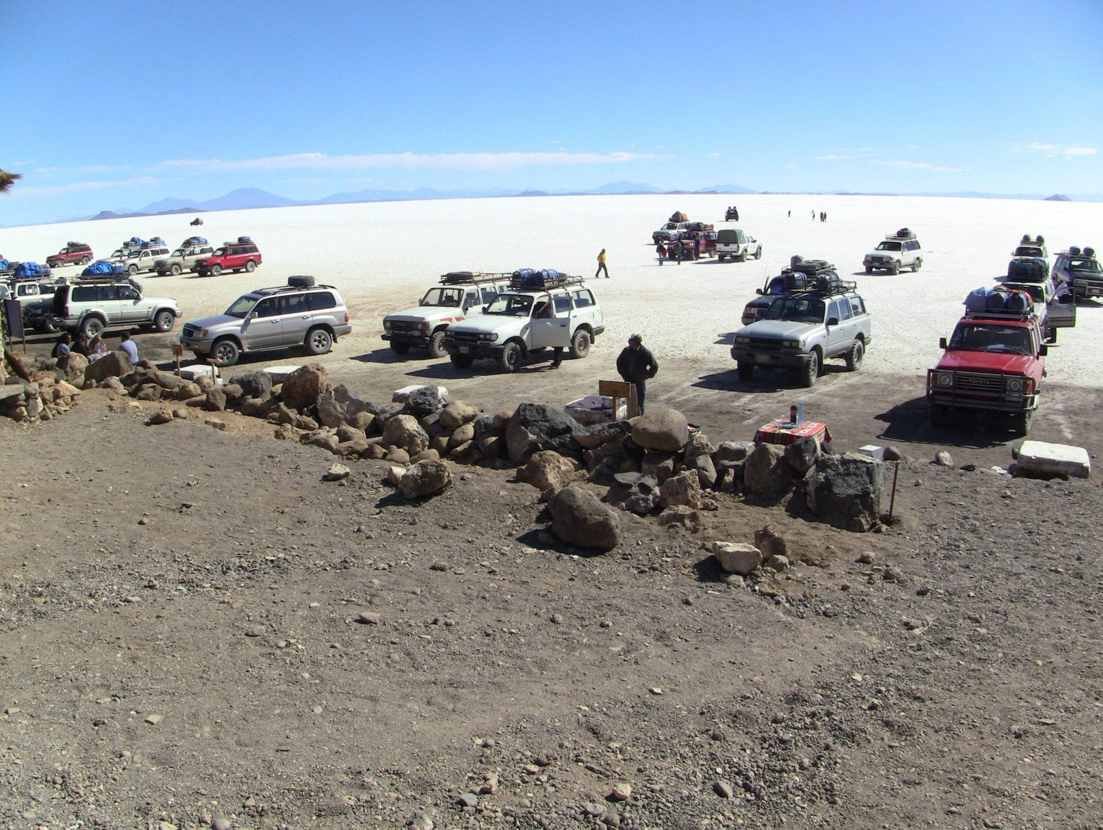
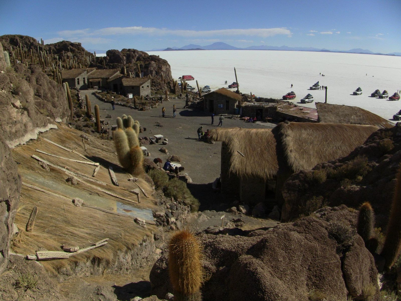
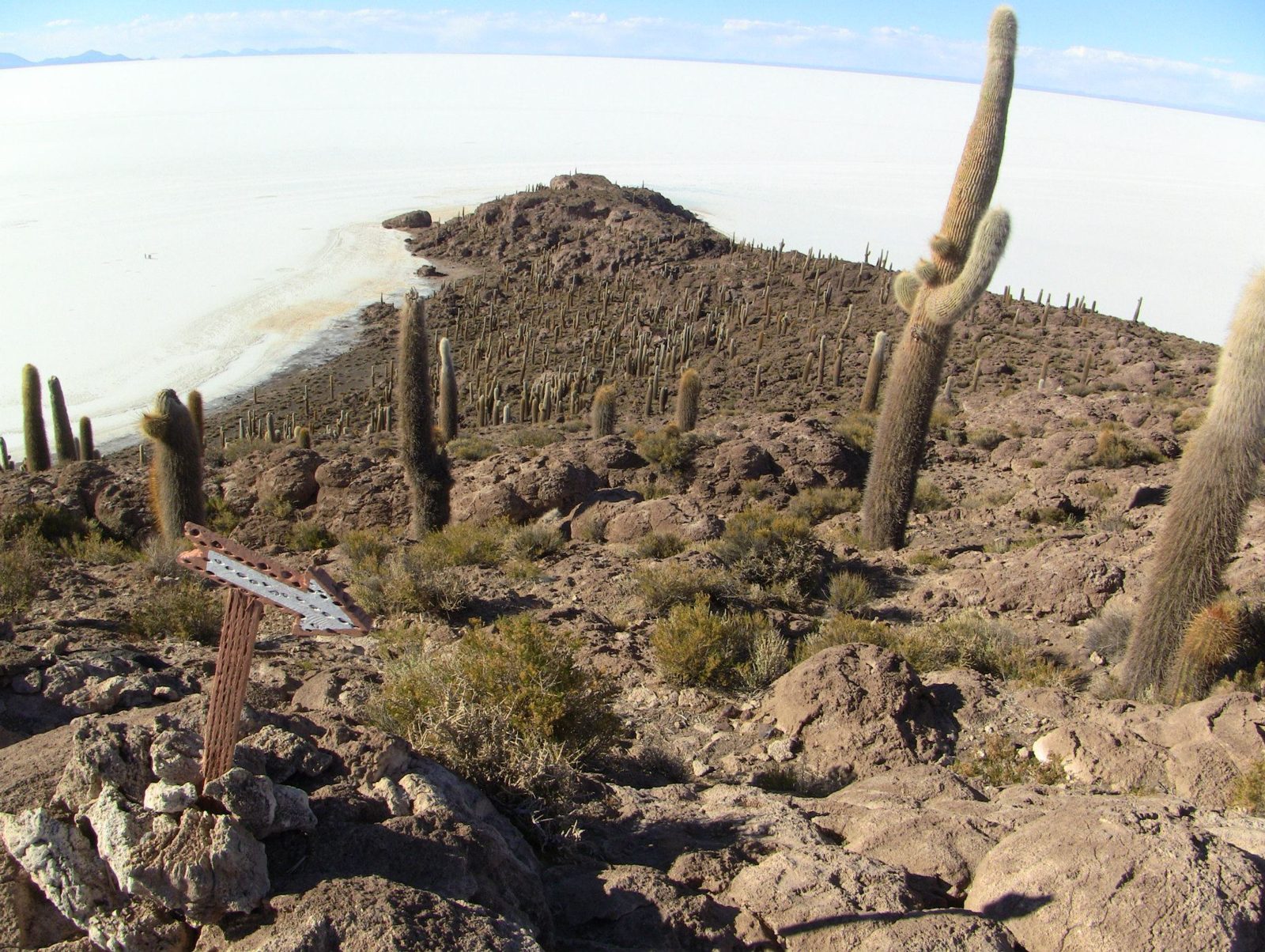
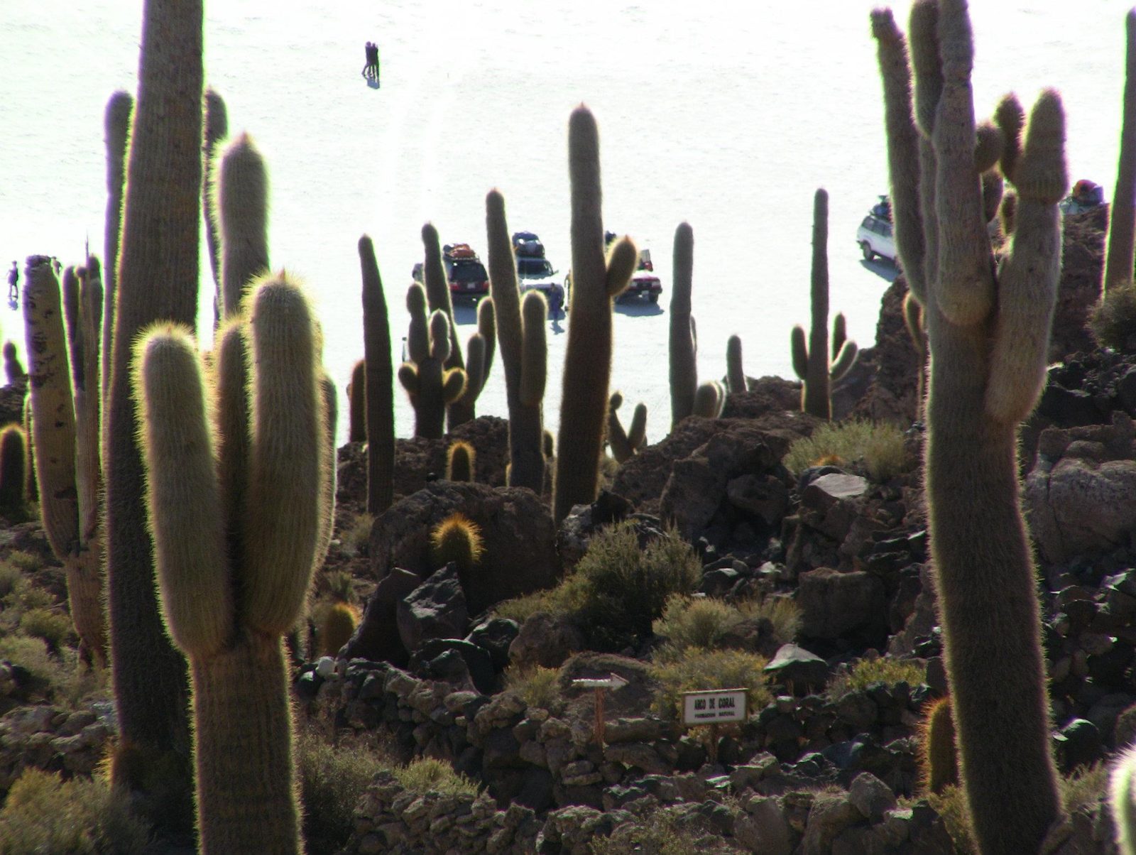
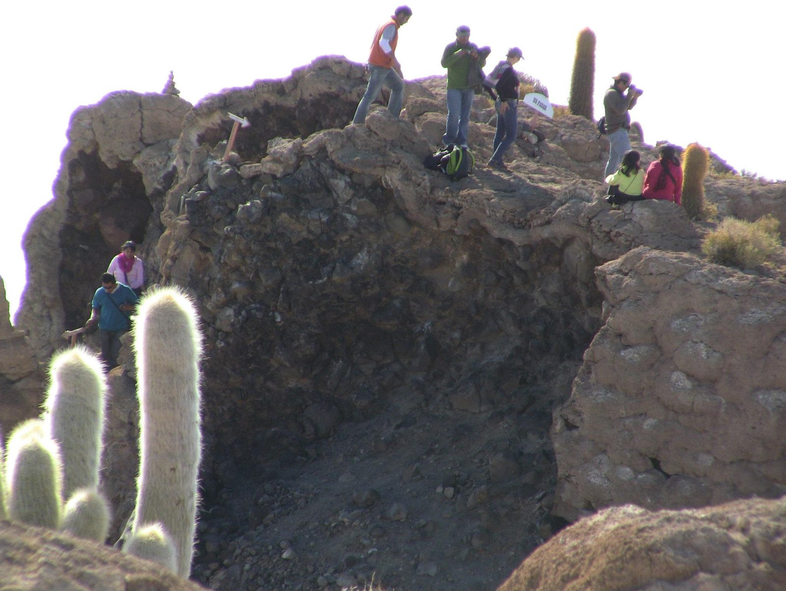
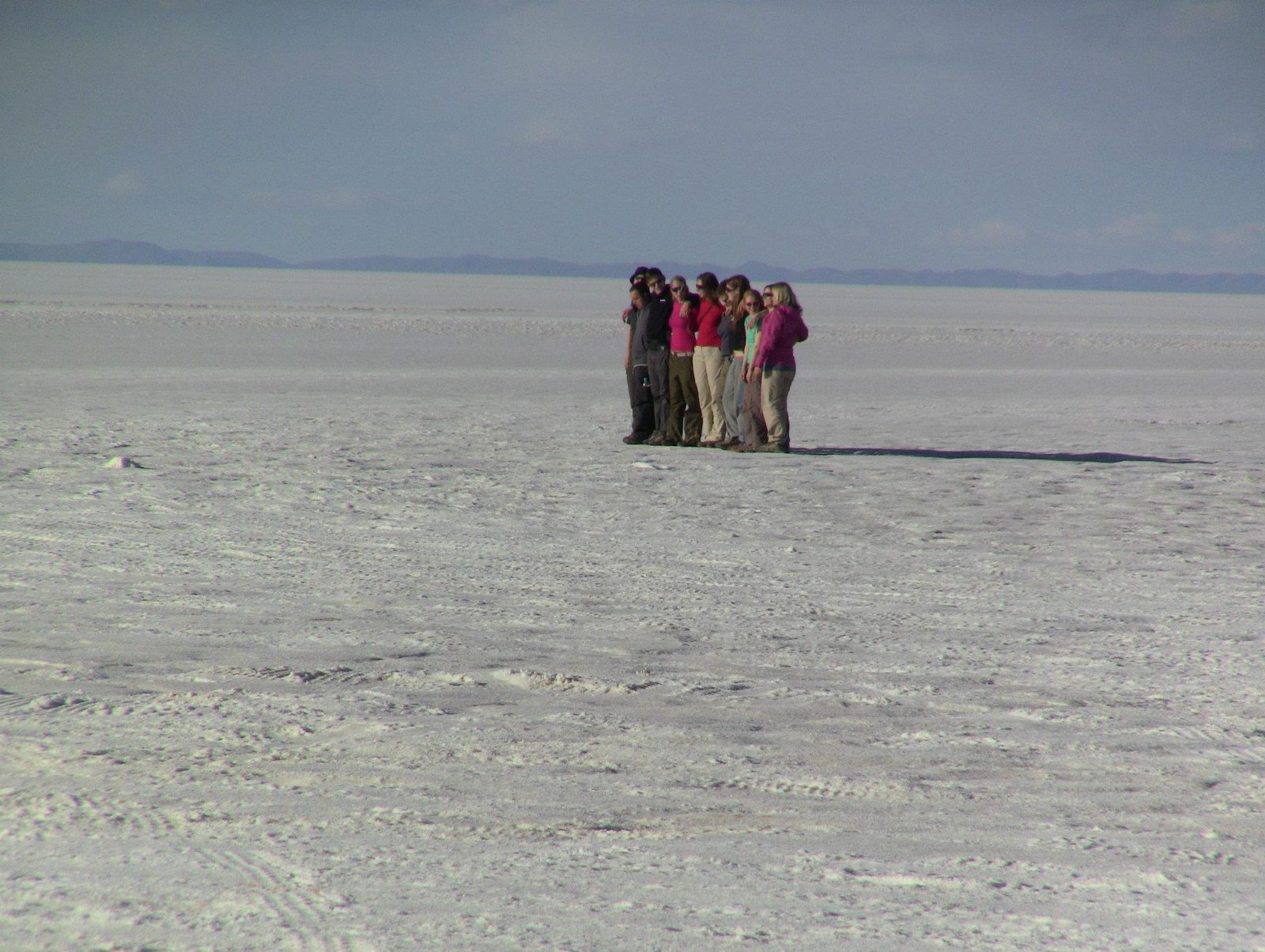
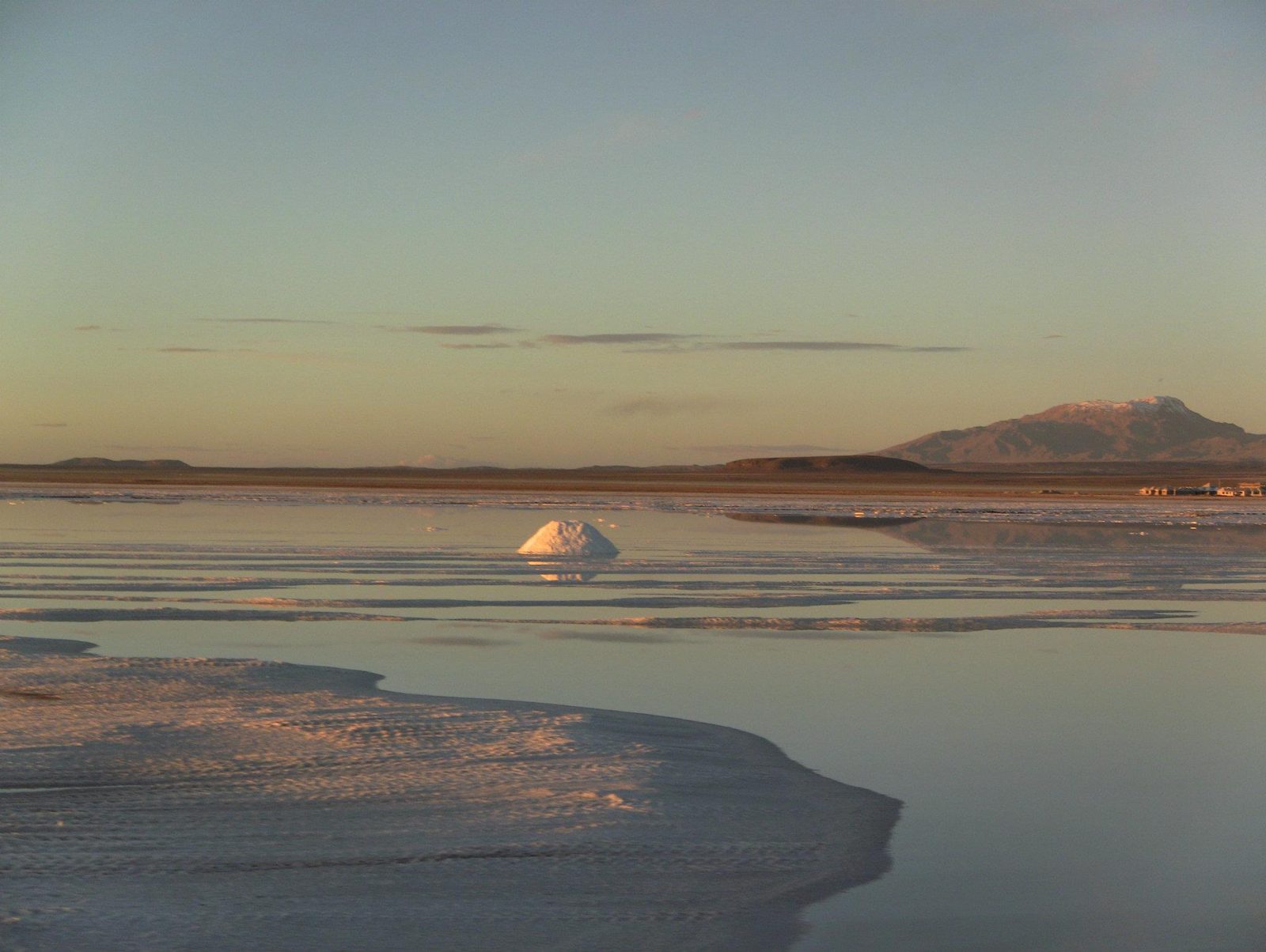
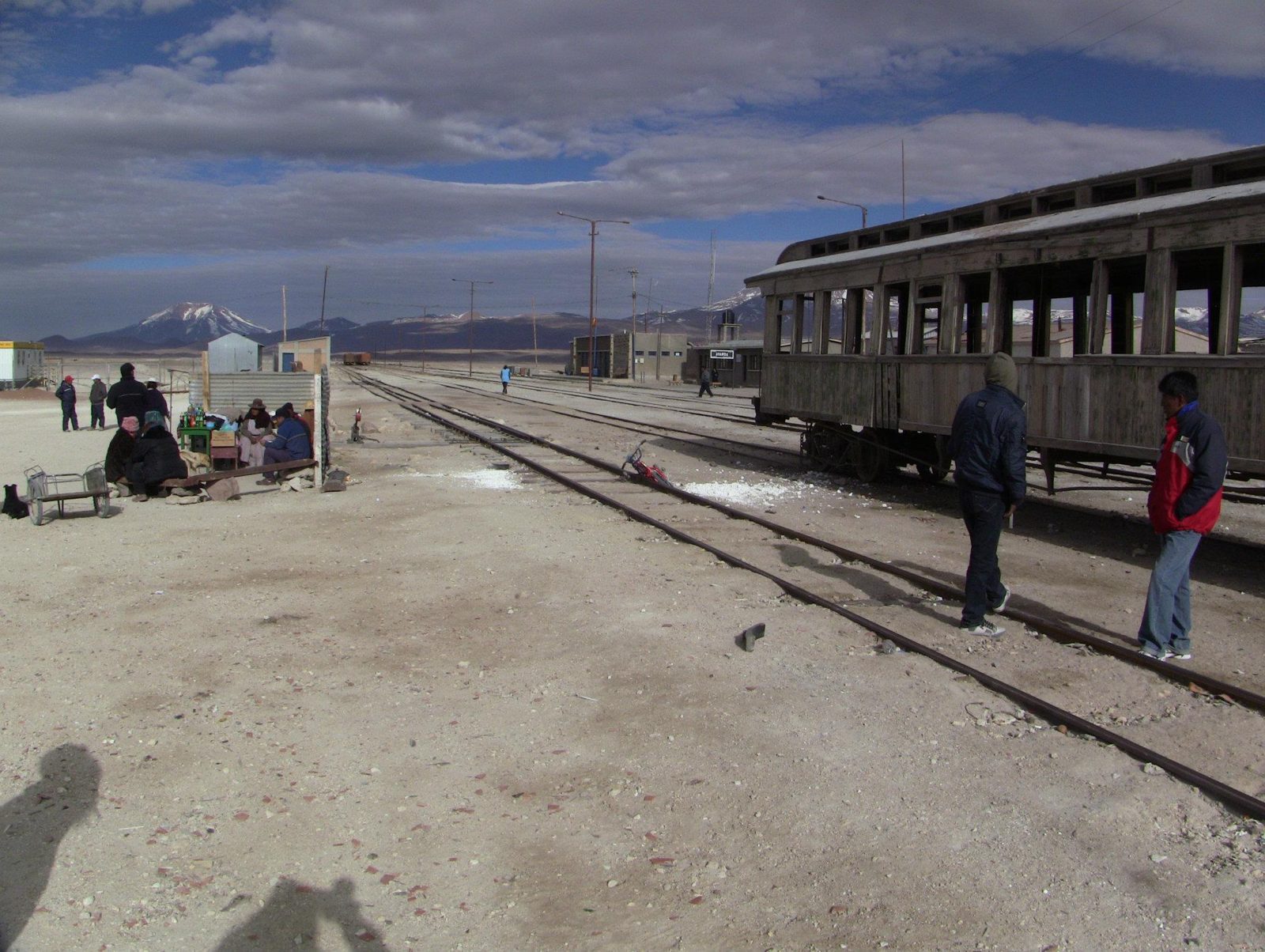
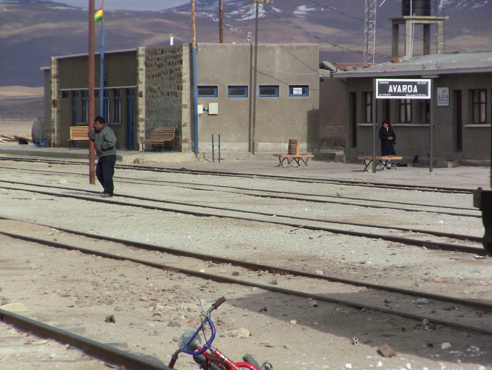
A silhouette on Salar de Uyuni, the largest salt flat on Earth at about 10,582 km².Data: Area: 10,582 km² · Altitude: ~3,656 m · Height variation: < 1 mReady to set off across the salar at about 3,656 m. The salt is what remains of a chain of Late Pleistocene lakes; some 30,000–42,000 years ago the area lay under the giant Lake Minchin.Salt piles drying at Colchani, where workers cut and process the salt by hand.A hotel built from salt blocks on the edge of the salar; even beds and tables are salt.A sign on the flat. Across the whole salar, elevation varies by less than 1 m.Jeeps on the white plain. The salt crust is up to about 8 m thick in places.The view from Isla Incahuasi, an ancient volcano top covering 24.62 ha.Data: Area: 24.62 haCacti and salt from the island. Its rocks include fossil algae from the prehistoric lake.Giant cacti (Trichocereus) on Isla Incahuasi; many are said to be centuries old.The top of Isla Incahuasi, about 100 km west of Uyuni. Its giant cacti (Echinopsis atacamensis) can exceed 10 m; the island is often confused with Isla del Pescado, 22 km to the northwest.A coral-like rock arch, formed of deposits from the ancient lake.Tiny figures on endless white. The flatness makes forced-perspective photos easy.Sunset on the salt. Beneath the crust lies one of the world's largest lithium deposits.Dusk. The salar is so flat it is used to calibrate satellite altimeters.An old train in the train cemetery outside Uyuni, a relic of mining railways.Rusting engines at Uyuni, founded in 1889 as a railway town serving the mines.A local woman by the tracks. Tourism to the salar is now a mainstay of Uyuni's economy.
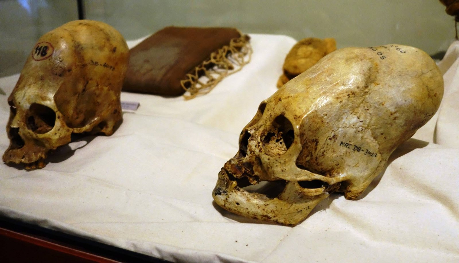
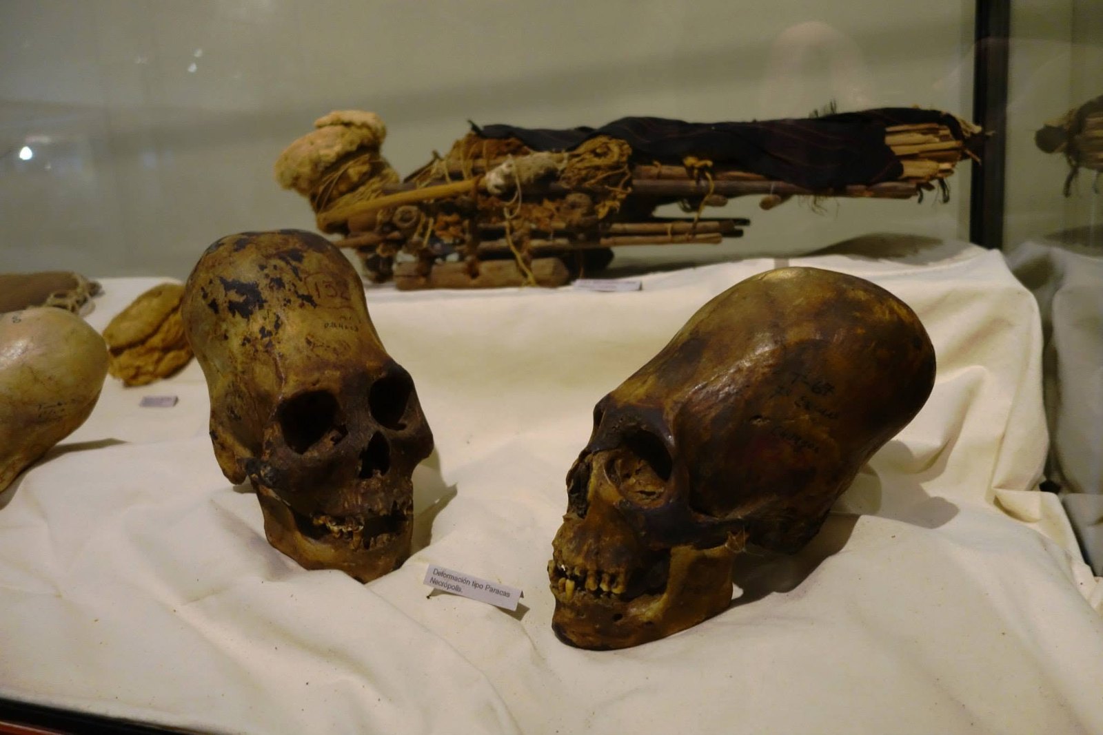
On the side of the skull, MRI DB is written in ink. Could a few letters tell us where this skull came from and where its records are? This page follows the clue as far as the opened sources go.
The skulls in the photos are human remains. This page tells only what can be seen in the photographs and exhibition labels and what published research says. A photograph cannot tell us the age, illnesses or origin of the deceased.
Skull photos, Peru 2014
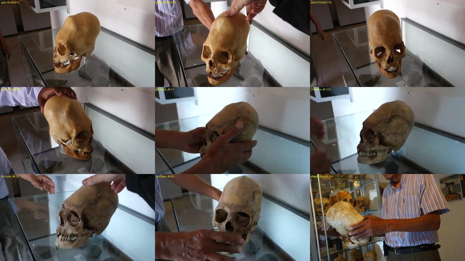
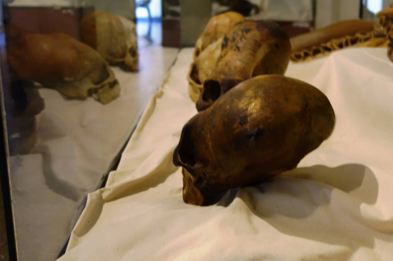
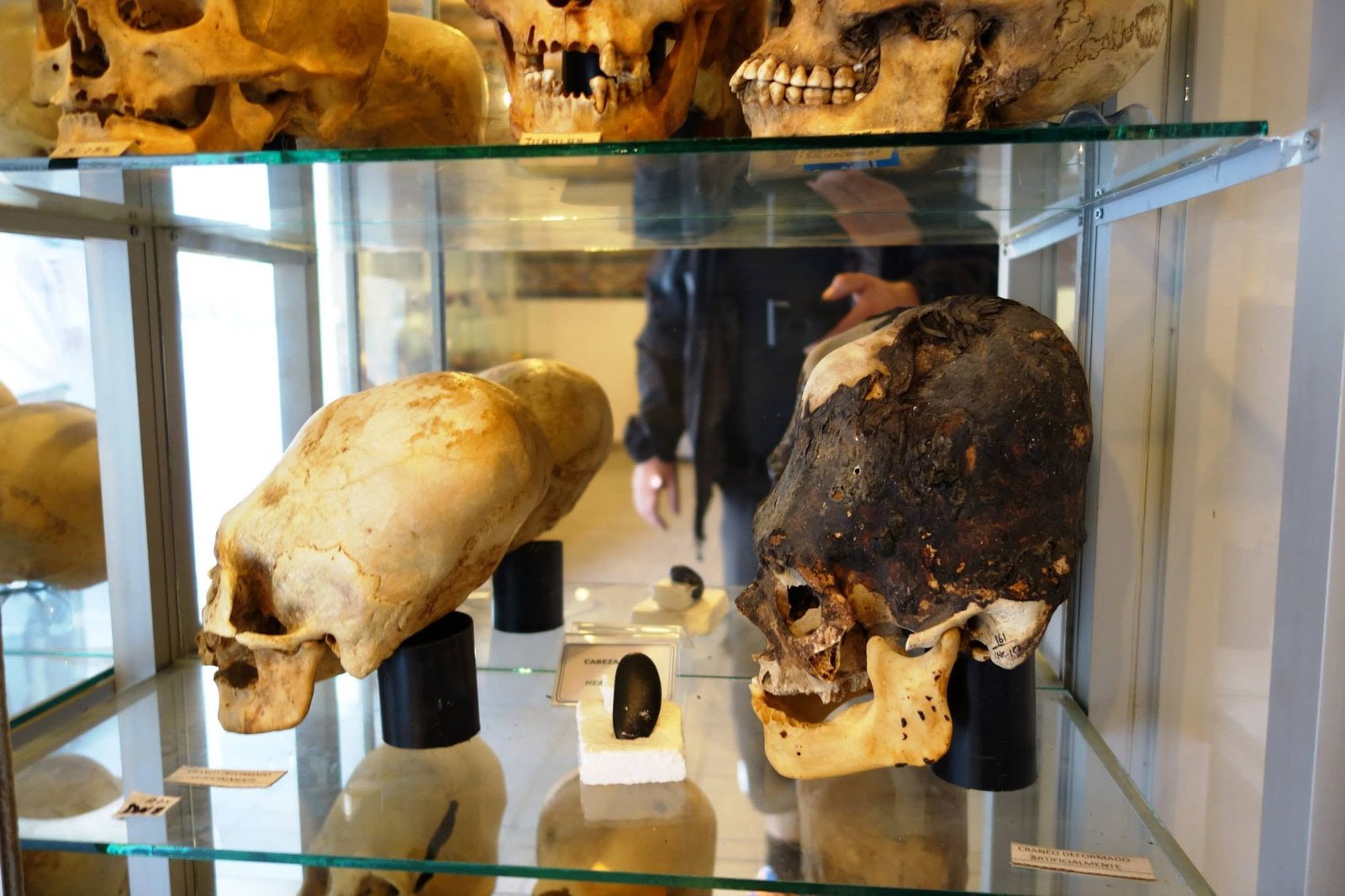
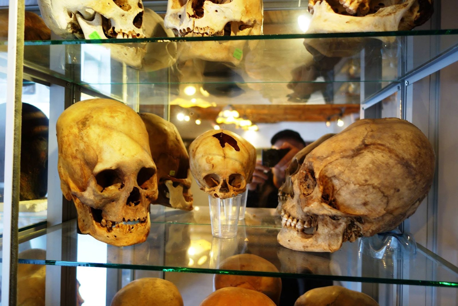
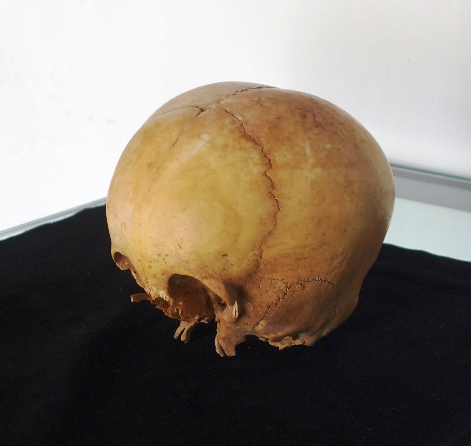
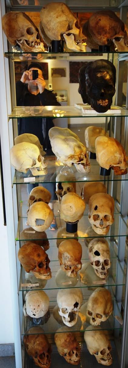
The upper part of a round skull from the front. The lower part of the skull is incomplete. Photo: Jani Korpi, Peru 2014.In two video sequences the camera circles an elongated skull. In the bottom right corner is a third video recording. Stills from Jani Korpi's videos aqPy1X1mhGY, yIA-Dykw_40 and dNgc018HQNA. Filmed 1 November 2014.The long curve of the back of the head is visible from the side. The photo includes no measurements of the skull. Photo: Jani Korpi, Peru 2014. The skull is held by Jani Korpi.Jani Korpi holds the skull called Starchild 2. The same object probably appears in photos 01 and 10. Photo: Jani Korpi, Peru 2014.The back of the head of the dark skull in the foreground extends far back. Reflections in the glass are visible on the left. Photo: Jani Korpi, Peru 2014.The sign reads in Spanish “Cráneo deformado artificialmente”, in English “artificially shaped skull”. Next to it is a pale skull seen from the side. Photo: Jani Korpi, Peru 2014.Three skulls from different angles. The smaller skull in the middle is on its own support. Photo: Jani Korpi, Peru 2014.Old markings are visible on two skulls. The MRI DB prefix on the right-hand skull offers a starting point for a register comparison. Photo: Jani Korpi, Peru 2014.Between the skulls it reads in Spanish “Deformación tipo Paracas Necrópolis”, in English “Paracas Necrópolis-type cranial shaping”. The word type refers to a classification, not a find site. Photo: Jani Korpi, Peru 2014.In the side view one suture stands out clearly. The lower jaw and teeth are missing from the photo. Photo: Jani Korpi, Peru 2014.Skulls are visible on the different shelves of the display case, from the front and the side. The photographer's reflection is also visible in the glass. Photo: Jani Korpi, Peru 2014.
On 15 February 2024, at the Egyptian Museum in Cairo, Jani photographed stone heads whose crown extends far back. The shape resembles the Peruvian skulls, but the photos were taken on another continent and about nine years later than the Peruvian skull photos (2014).
Sculpture · stone · Cairo 2024Two separate stone heads face right. The curve of the crown continues far behind the ear. Photo: Jani Korpi, Cairo, 15 February 2024. Cropped from a video still, bystanders cropped out.Human remains · human skull · Peru 2014A long skull from the side, face to the right (photo 03). Photo: Jani Korpi, Peru 2014.
Sculpture · stone · Cairo 2024The head of a reddish stone figure faces left, and the crown rises diagonally from above the ear. Photo: Jani Korpi, Cairo, 15 February 2024. Cropped from a video still, bystanders cropped out.Human remains · human skull · Peru 2014For comparison, the right-hand skull (photo 09). Photo: Jani Korpi, Peru 2014.
The link to Peru is only visual. The Amarna heads are sculptures, the Peruvian skulls human remains; in the studied Paracas material the long head has been interpreted as shaping done in childhood (research background). The Cairo photos were taken in 2024, the Peruvian photos in 2014. AI illustrations of these pairs are on the stone city page: pair 12 and pair 13 (Cairo's stone faces and Peru's skulls).
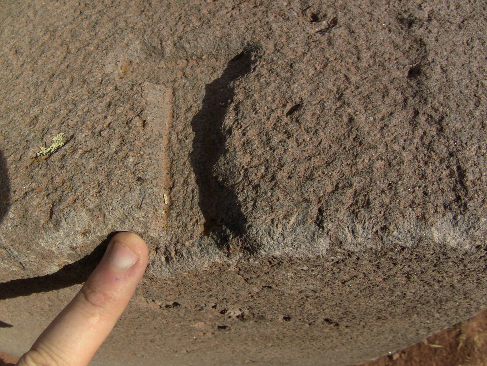
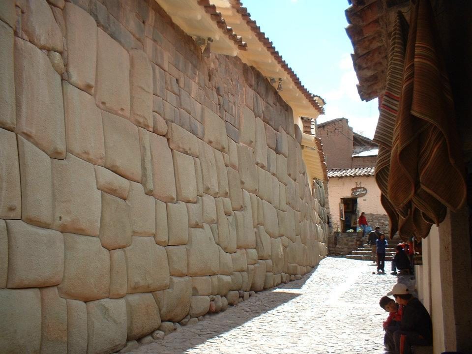
At Puma Punku a fingertip gives the scale of an inner corner carved into the stone. In Cusco the eye catches on a joint: it turns many times, and the edge of the next stone follows every turn. In 1549 Cieza de León heard at Tiwanaku that the Inca took these ruins as the model for the walls of Cusco. Sixty years later Garcilaso, of Inca descent, wrote the opposite: an Inca master built Tiwanaku. Radiocarbon places the building of Puma Punku at about AD 580–710, centuries before the Inca empire. Which story holds up when the stones are compared?
The stones do not support either story as it stands. The builders of Tiwanaku had been dead for centuries before the walls of Cusco, and the joints are made differently: at Tiwanaku the same standard part repeats and joints are locked with metal cramps, while in an Inca wall each stone is fitted to its neighbours. Even so, the joints alone cannot tell who learned from whom. The Inca knew the ruins, and Garcilaso's story shows that they wanted them as part of their own history. The same happens in Cusco: the Spaniards built on top of the Inca walls, and the 20th century repaired both.
Faces of the Stone City (AI illustration · fiction)
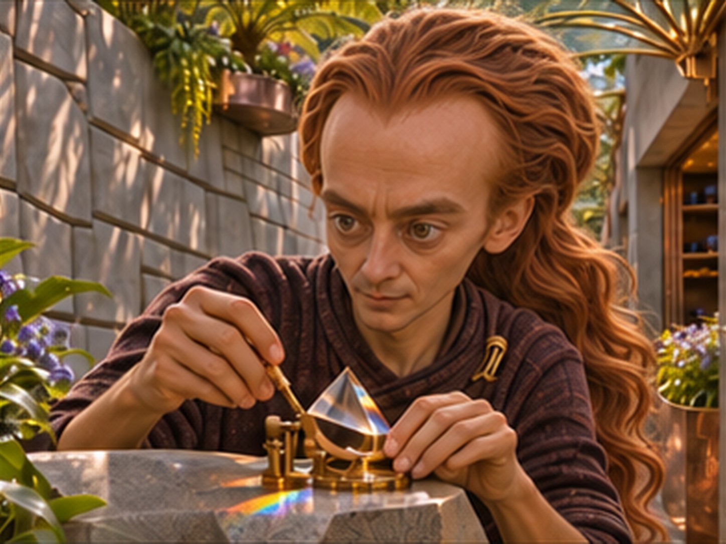
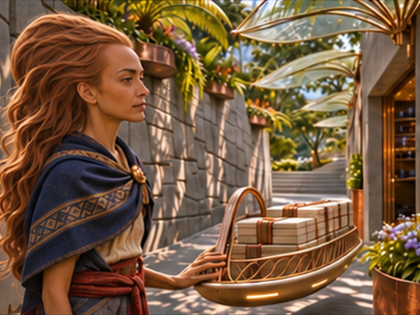
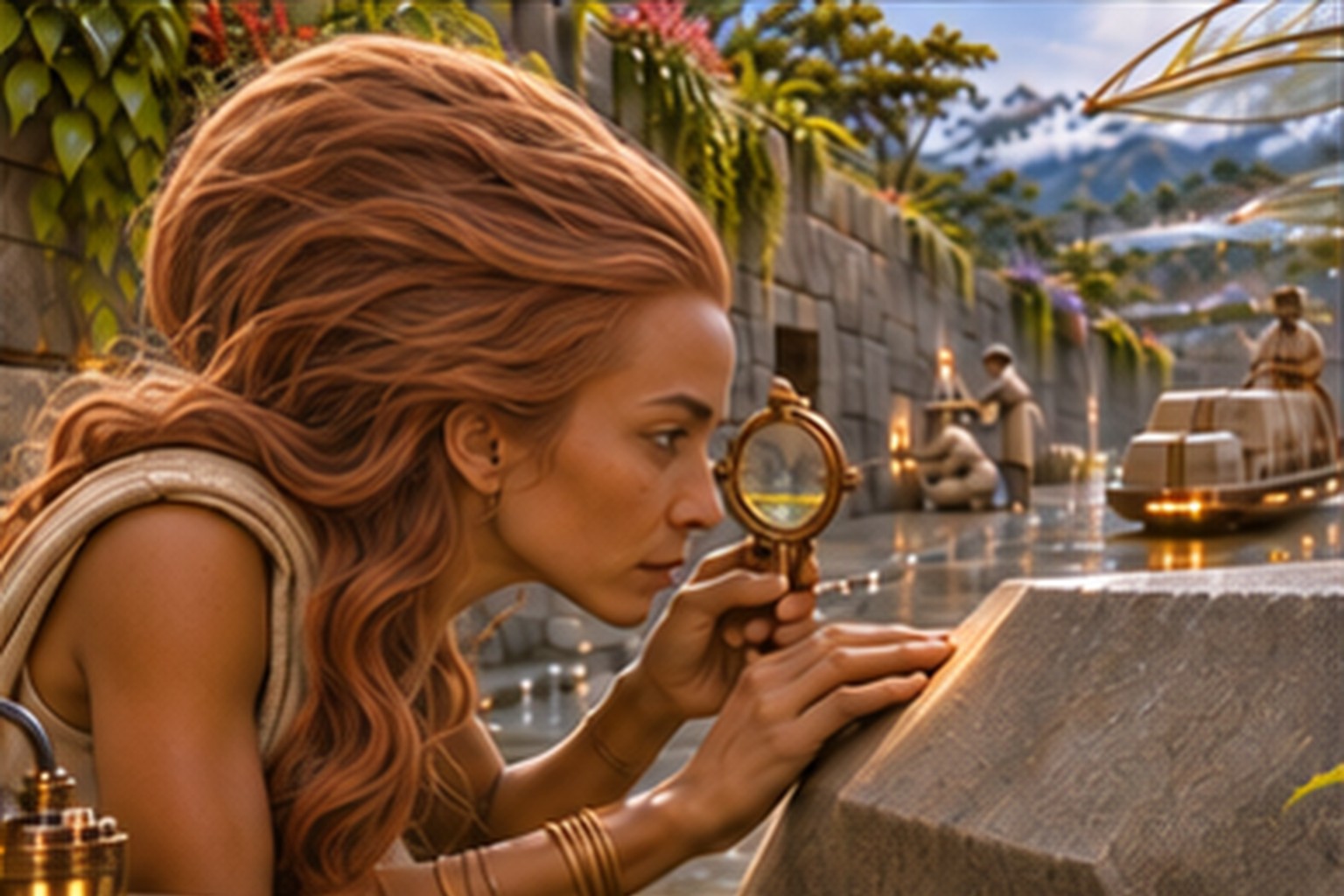
Fiction. AI illustrations of an imaginary stone city. Each pair shows first Jani Korpi's photograph from Peru and then an AI illustration based on its shape. The stone city and its inhabitants are invented.
01 · The optician adjusts a prism
PhotoThe upper part of a round skull from the front. The lower part of the skull is incomplete. Photo: Jani Korpi, Peru 2014.AI illustration · fictionThe optician adjusts a prism.
02 · A load of stone passes down the lane
PhotoIn two video sequences the camera circles an elongated skull. In the bottom right corner is a third video recording. Stills from Jani Korpi's videos aqPy1X1mhGY, yIA-Dykw_40 and dNgc018HQNA. Filmed 1 November 2014.AI illustration · fictionA load of stone passes down the lane.
03 · The stonecutter checks a joint
PhotoThe long curve of the back of the head is visible from the side. The photo includes no measurements of the skull. Photo: Jani Korpi, Peru 2014. The skull is held by Jani Korpi.AI illustration · fictionThe stonecutter checks a joint.
The figures' expressions, skin tone, hair and daily life belong to the imagined stone city. Some of the photos show the same object from different directions.