Travel South

Cusco

The Inca walls of Cusco show the marks of two strong earthquakes. One of them struck in Inca times (Combey et al. 2022).

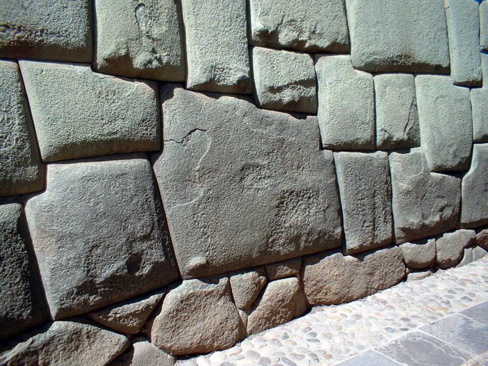
Cusco was the capital of the Inca Empire. UNESCO describes the city as an amalgam of the Inca capital and the colonial city (UNESCO). The twelve-angled stone on Hatun Rumiyoc street was part of the wall of Inca Roca's palace (Smithsonian 3D). Paint was sprayed on the stone in March 2014, and on 18 February 2025 it was struck with a metal object (Ministry of Culture 2025).

Speculation: Brien Foerster asks whether the megalithic foundations are the work of an older builder culture. Protzen and Nair compared Inca and Tiwanaku joints and did not find the same technique (Protzen and Nair 1997).

Which do you notice first in Cusco, the Inca walls or the churches on top of them?

Site on the map: Cusco (historic centre)

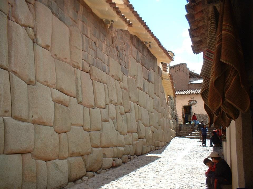
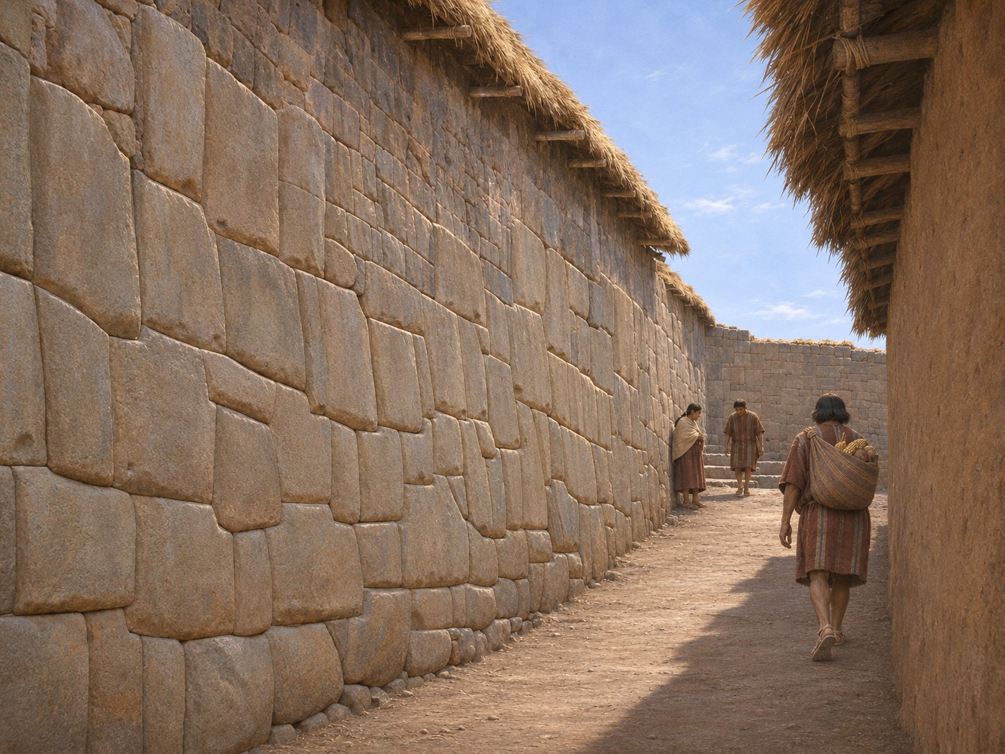
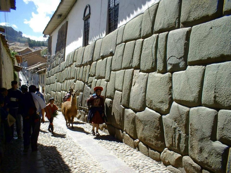
A Cusco alley in 2011 and around AD 1500

A narrow alley with a wall of polygonal stones on the left.
Photo 2011A polygonal alley wall in Cusco in 2011. At the end of the alley are steps and a plastered house. Photo: Jani Korpi.
Illustration: an alley beside a polygonal stone wall, where a walker carries a load on his back.
AI-assisted historical illustrationCusco, around AD 1500. A narrow passage follows a polygonal stone wall. The viewpoint and the proportions of the wall are based on Jani Korpi's travel photo. The walkers, their loads and the upper parts of the buildings are interpretation. The stone joints, the end of the alley and the roof heights differ from the photo. AI-assisted historical illustration.
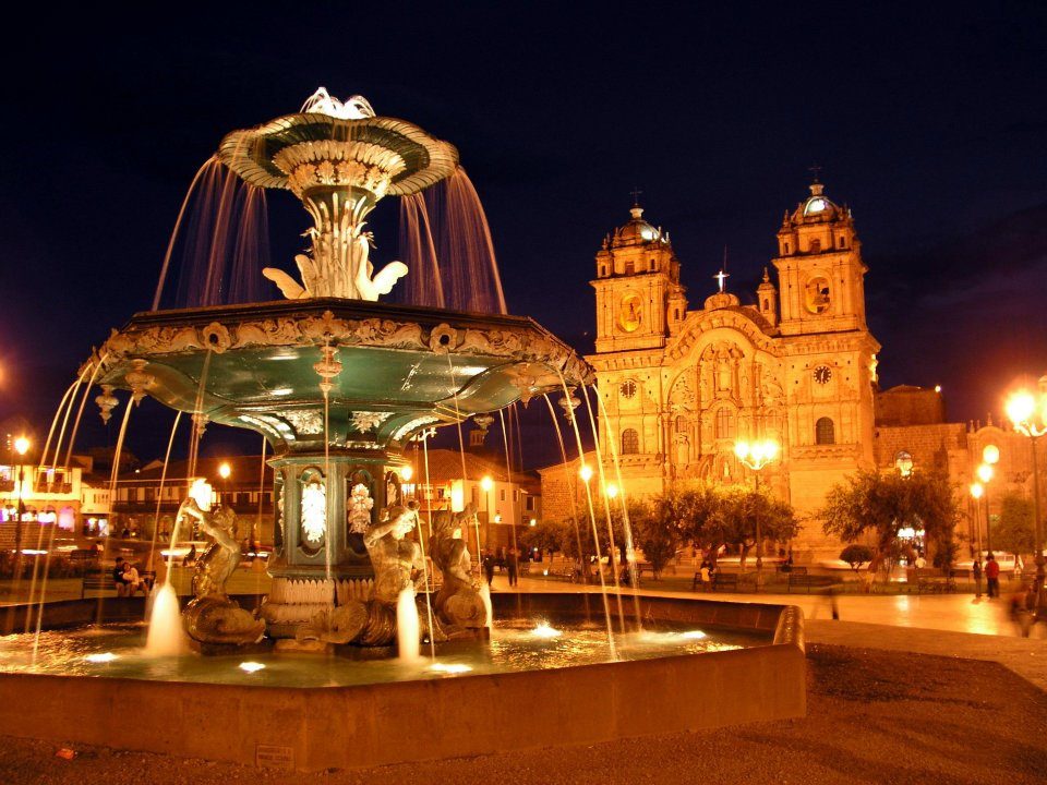
The cathedral at night, built 1559–1654 on the site of an Inca palace
The cathedral at night, built 1559–1654 on the site of an Inca palace.Data: Built: 1559–1654 · UNESCO: 1983View on Google Maps
An evening street in Cusco, at about 3,400 m
An evening street in Cusco, at about 3,400 m. The colonial city was built directly on Inca foundations after the Spanish entered it in 1533.View on Google Maps
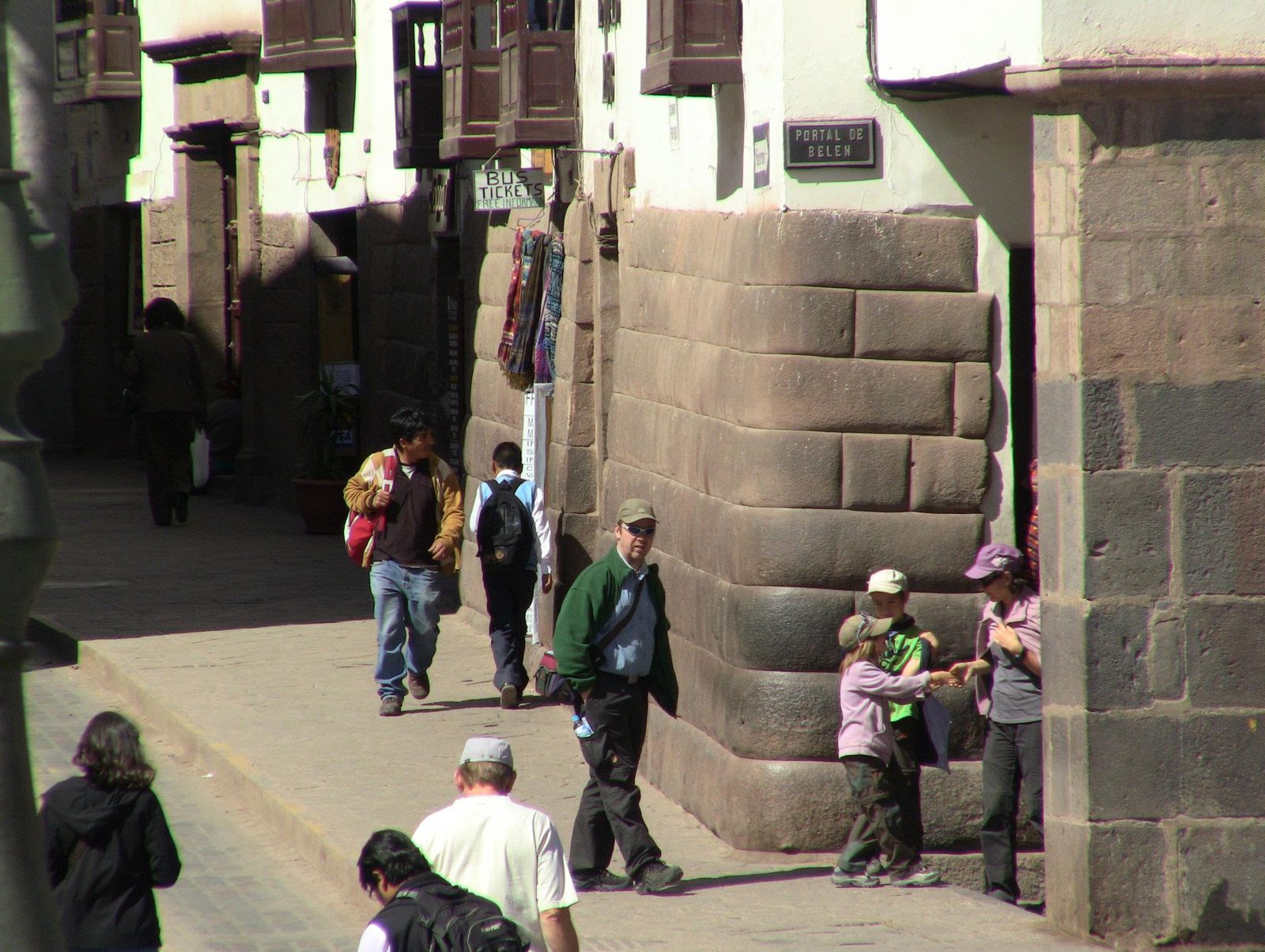
Polygonal Inca blocks, the same style as the twelve-angled stone on Hatun Rumiyoc street
Polygonal Inca blocks, the same style as the twelve-angled stone on Hatun Rumiyoc street.View on Google Maps
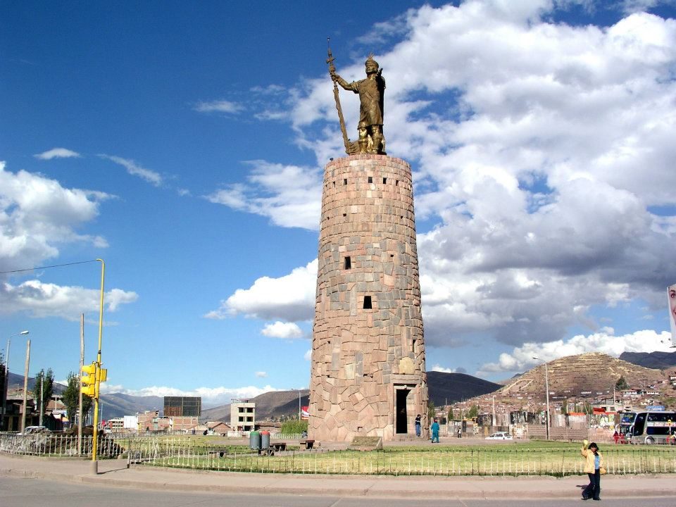
A monument in Cusco's historic centre (which one is not identified from the photo)
A monument in Cusco's historic centre (which one is not identified from the photo). Spanish forces entered the Inca capital in November 1533.View on Google Maps
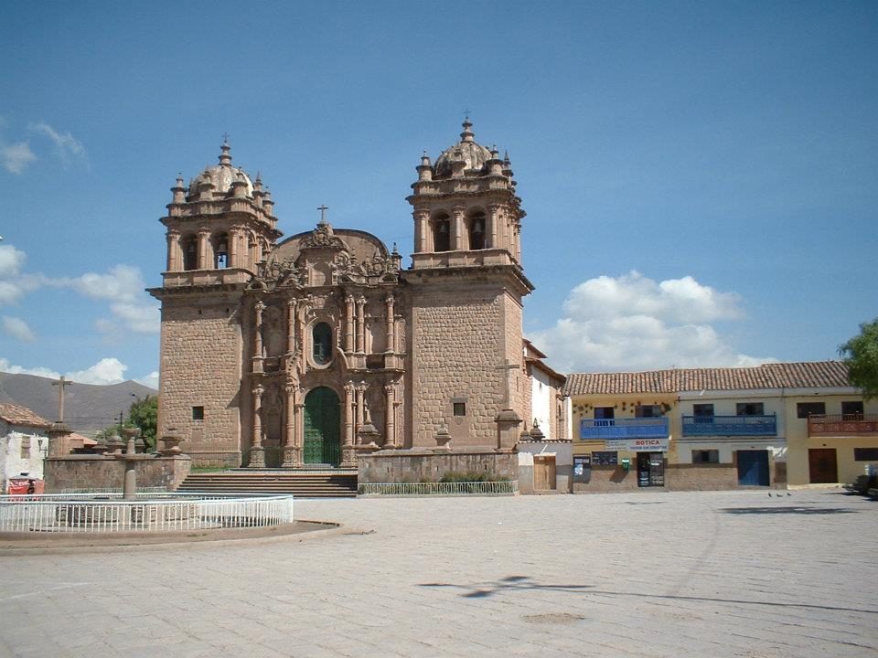
A colonial church
A colonial church. Many were built on Inca foundations, like Santo Domingo on top of the Coricancha.View on Google Maps
Inca walls on a street
Inca walls on a street. They withstood the 1650 and 1950 earthquakes better than the colonial buildings above.View on Google Maps
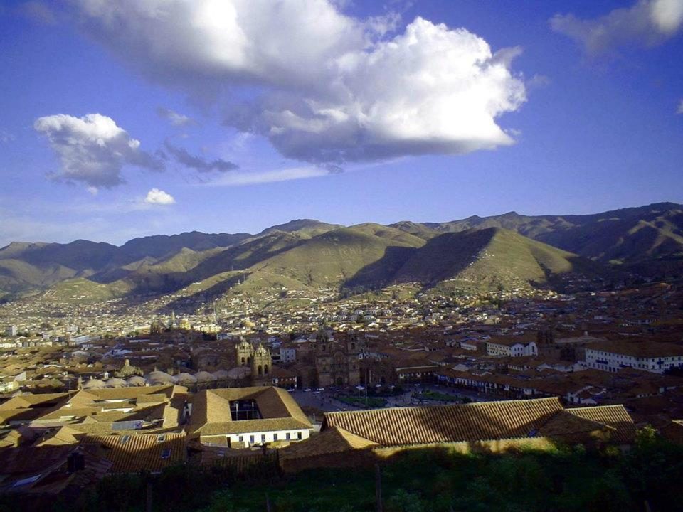
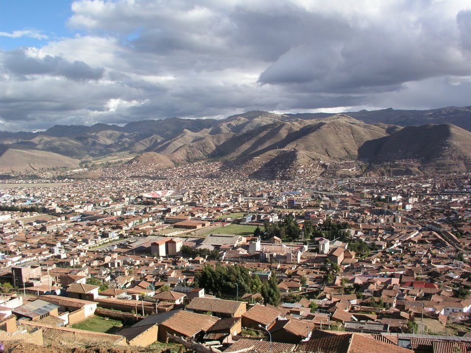
The valley from above
The valley from above. By tradition, Pachacuti's Cusco was laid out in the shape of a puma.View on Google Maps
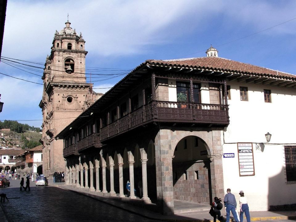
Carved wooden balconies, typical of colonial mansions built over Inca walls
Carved wooden balconies, typical of colonial mansions built over Inca walls.View on Google Maps
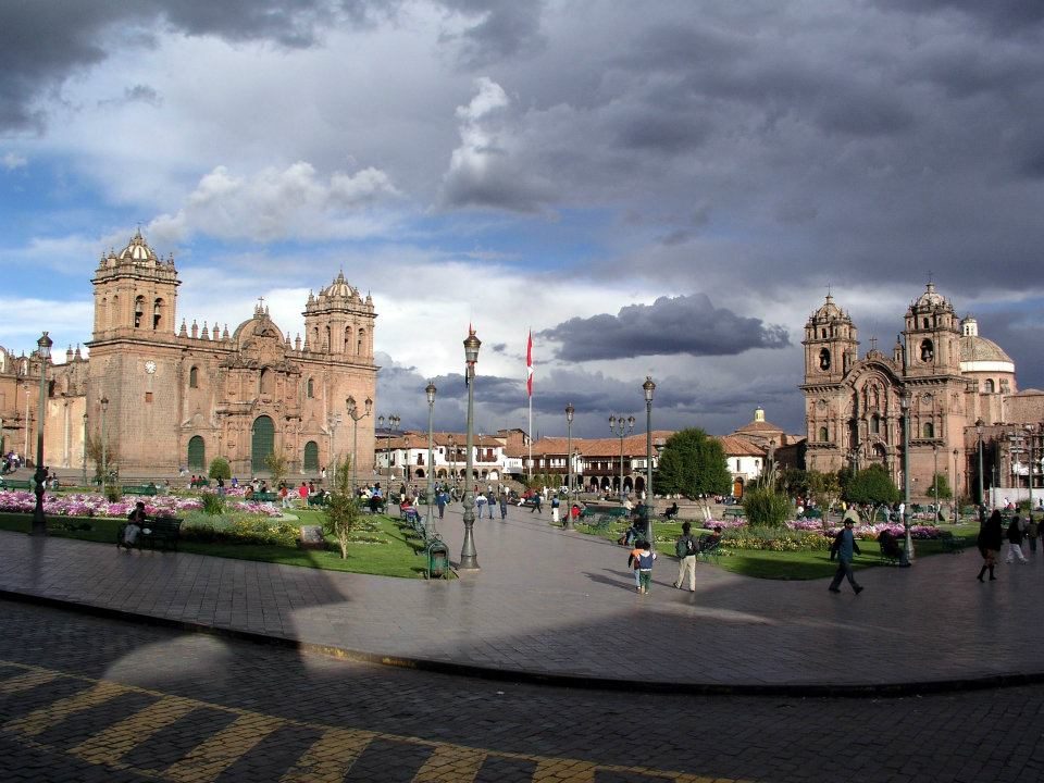
Plaza de Armas
Plaza de Armas. Under the Inca the main square (Huacaypata) is thought to have been even larger.View on Google Maps
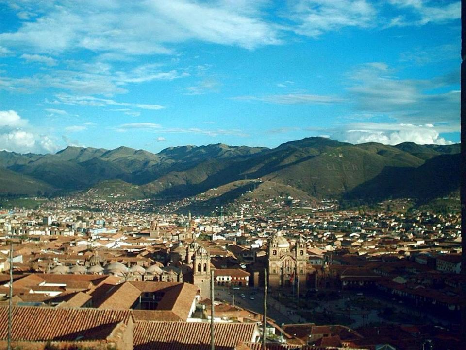
Red roofs of Cusco, a UNESCO World Heritage Site since 1983
Red roofs of Cusco, a UNESCO World Heritage Site since 1983.View on Google Maps
The city across the valley
The city across the valley. Cusco grew into the imperial capital under Pachacuti in the 15th century.View on Google Maps
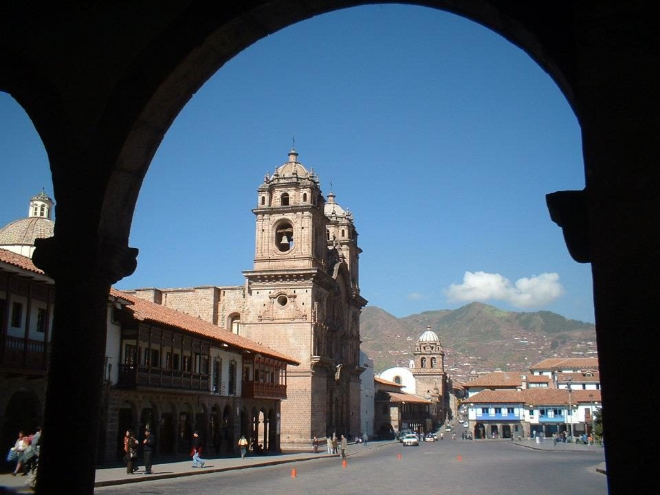
A church tower framed by an arcade
A church tower framed by an arcade. Many towers had to be rebuilt after the 1650 earthquake.View on Google Maps
A lane between Inca walls
A lane between Inca walls. They lean slightly inward, a feature thought to help them resist earthquakes.View on Google Maps
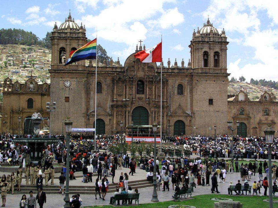
The cathedral during a festival
The cathedral during a festival; religious processions still circle the plaza.View on Google Maps
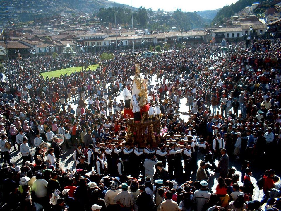
Crowds in the Plaza de Armas
Crowds in the Plaza de Armas, where the rebel leader Túpac Amaru II was executed in 1781.View on Google Maps