Travel South

Sacsayhuaman

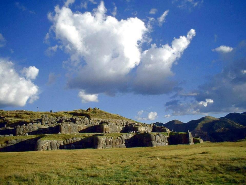
Three zigzag walls climb the slope above Cusco, their stones fitted without mortar.

In 1534 Pizarro's secretary Pedro Sancho compared the walls to the Roman aqueduct of Segovia (Ramusio 1556). Cieza de León recorded a workforce of 20,000 men (Cieza, El señorío de los Incas, chapter LI). Test excavations that began in 2024 confirmed a pre-Inca Killke occupation at Cruzmoqo (El Búho 14 September 2024). In April 2026 lidar and ground-penetrating radar revealed terraces, roads and possible quarries across about 69 hectares. No dates have been published yet (CNR ISPC 21 April 2026).

Speculation: Brien Foerster asks whether the lowest megalithic courses are far older than the Inca. No dates for the building of the walls have been published yet, so the answer will come from the excavation results.

How would you move a huge stone without wheels?

Site on the map: Sacsayhuaman

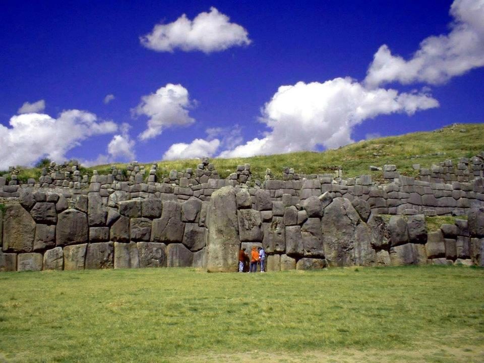
The long wall from the esplanade
The long wall from the esplanade, where Inti Raymi is re-enacted every 24 June.View on Google Maps
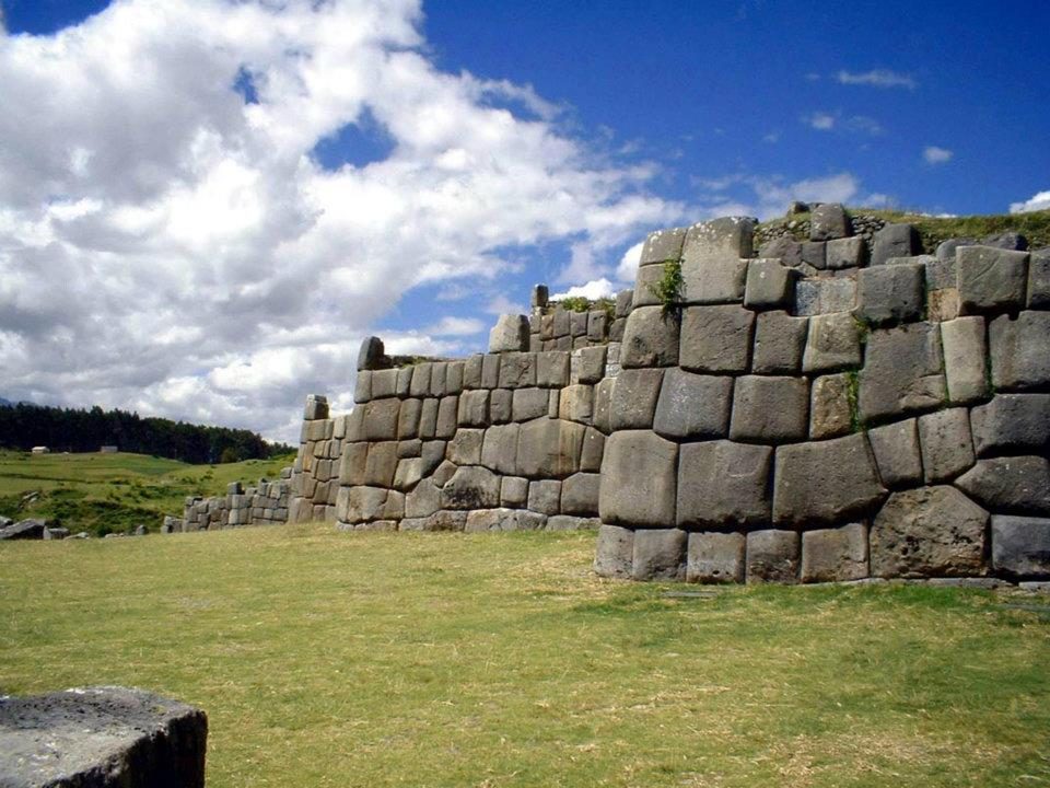
Polygonal blocks in the zigzag walls
Polygonal blocks in the zigzag walls, which climb the hill in three tiers.View on Google Maps
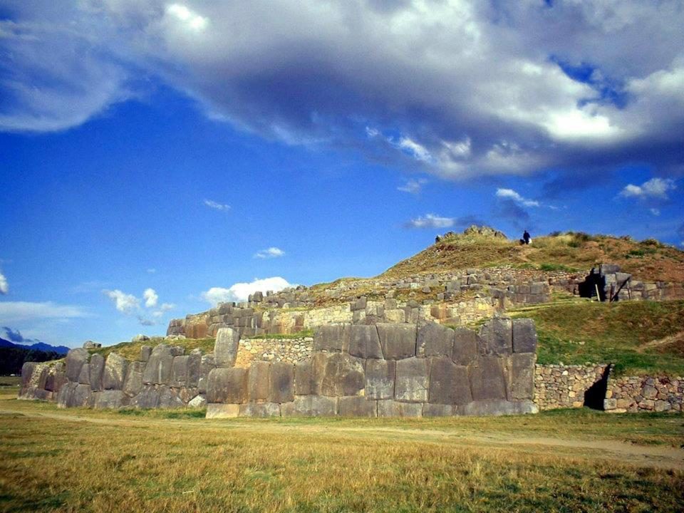
The walls above the esplanade
The walls above the esplanade. Estimates suggest over 6,000 m³ of stone went into the complex.View on Google Maps
The upper terraces
The upper terraces. After the conquest the Spanish quarried the upper buildings for stone for Cusco's churches.View on Google Maps
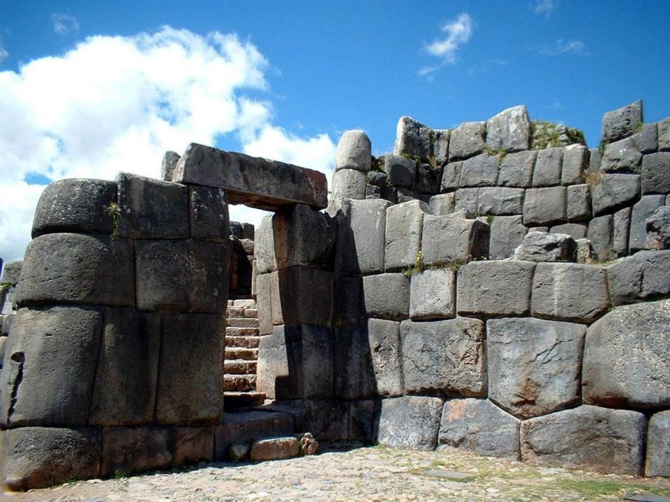
A gateway
A gateway. Studies of unfinished blocks suggest masons refined the stones in place.View on Google Maps
The zigzag walls
The zigzag walls. Some read the zigzag as the teeth of the puma-shaped city; it also exposes attackers' flanks.View on Google Maps
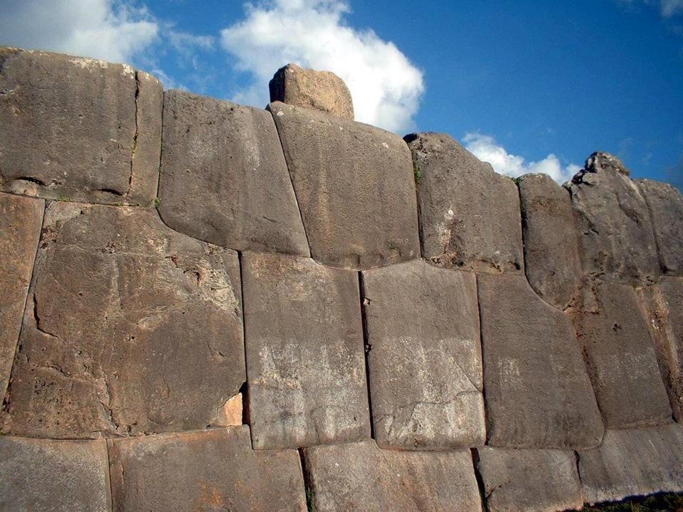
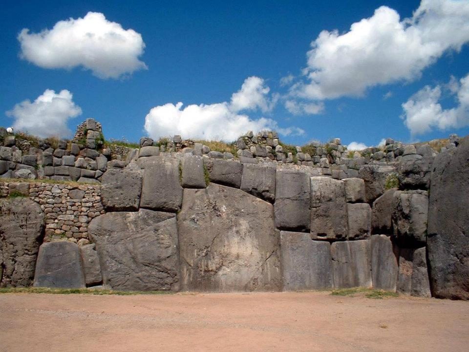
Blocks fitted without mortar at about 3,701 m
Blocks fitted without mortar at about 3,701 m. Each joint follows the irregular outline of its neighbour, so no two stones in these walls share a shape.View on Google Maps
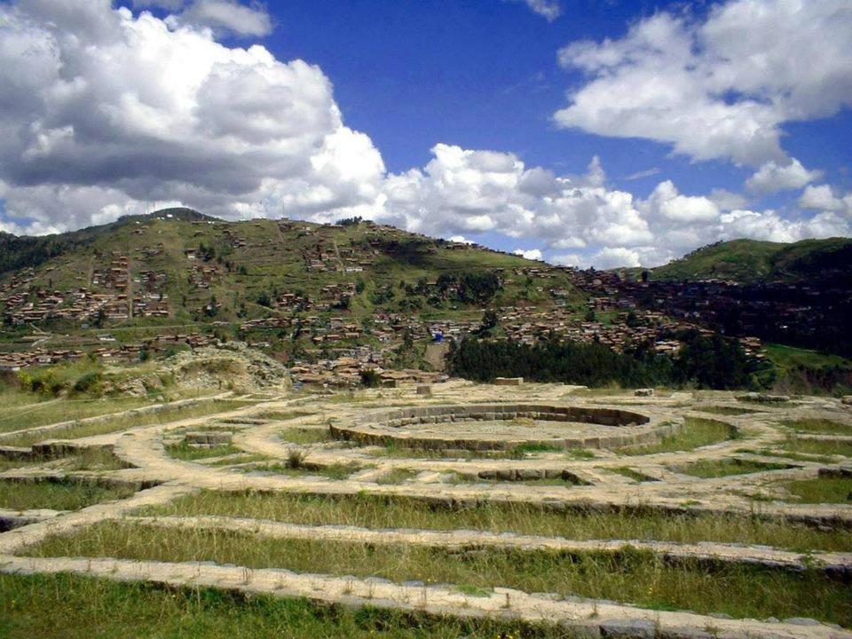
Circular foundations of Muyuq Marka, a tower destroyed after the conquest and excavated in the 1930s
Circular foundations of Muyuq Marka, a tower destroyed after the conquest and excavated in the 1930s.View on Google Maps
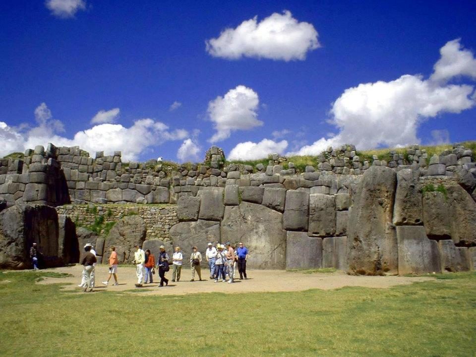
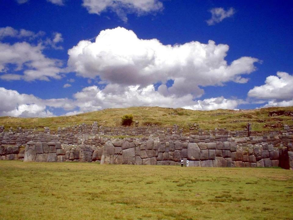
Visitors dwarfed by the walls
Visitors dwarfed by the walls. Some andesite was probably brought from Rumicolca, an estimated 35 km away.View on Google Maps
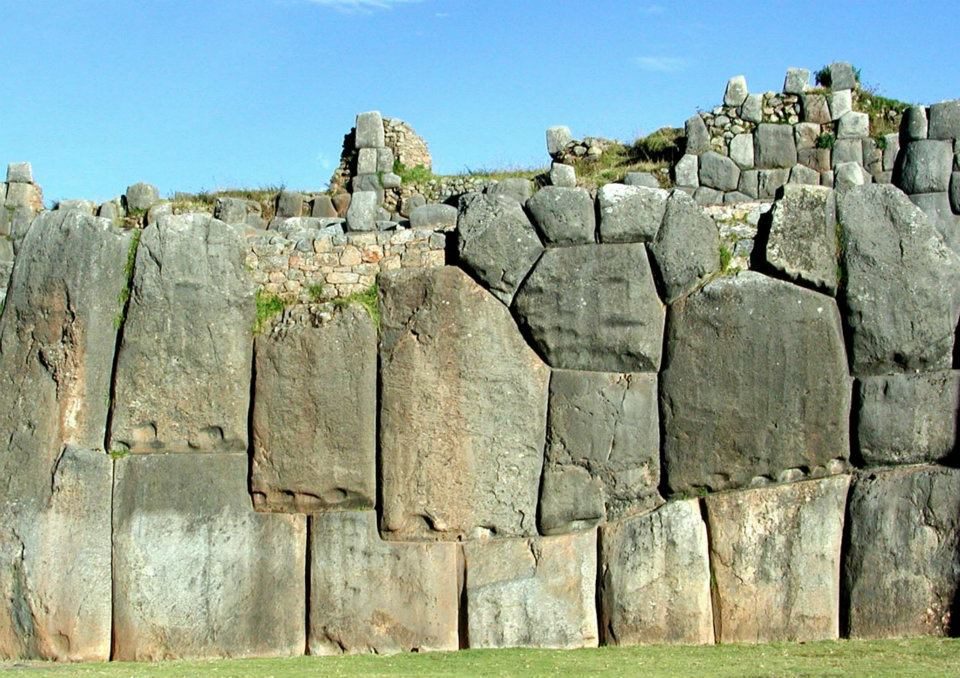
The lowest tier
The lowest tier. The largest block is often estimated at roughly 120–130 tonnes; higher figures of up to 200 t are poorly supported.View on Google Maps
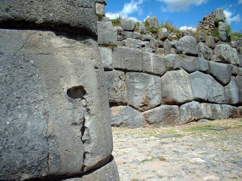
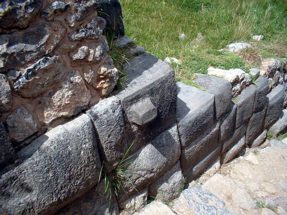
A rounded block with tight joints
A rounded block with tight joints: each stone shaped to fit its neighbours.View on Google Maps
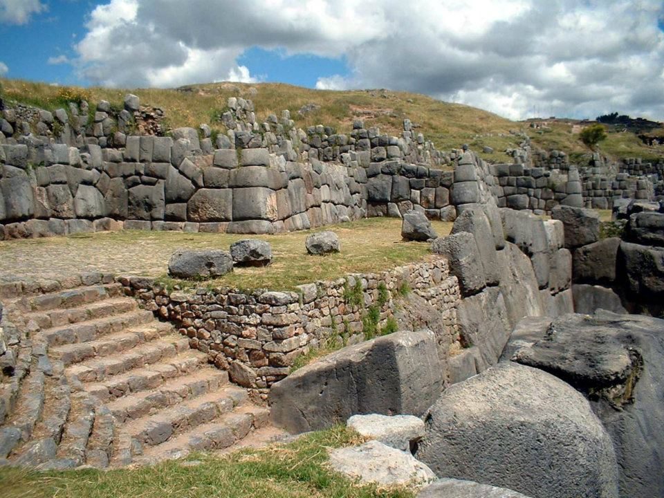
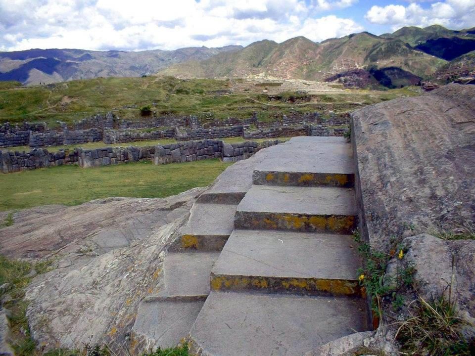
Steps cut into the bedrock
Steps cut into the bedrock. The Inca also carved living rock into shrines (huacas).View on Google Maps
Carved steps on the outcrop
Carved steps on the outcrop. Open question: their use is not recorded; many interpret them as ritual seats.View on Google Maps
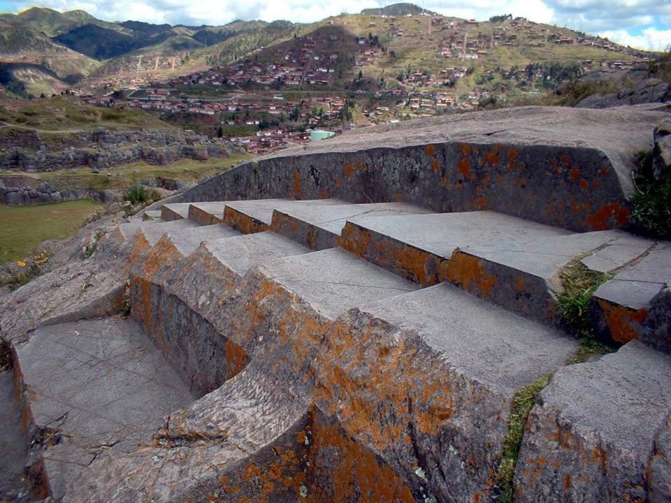
Rock-cut channels and seats above the walls
Rock-cut channels and seats above the walls; water ritual is a common interpretation.View on Google Maps
The walls across the hillside
The walls across the hillside. In 1536 Manco Inca's forces held the fortress before the Spanish retook it.View on Google Maps
A smaller wall
A smaller wall. Jean-Pierre Protzen showed experimentally that harder hammerstones can shape stones like these.View on Google Maps
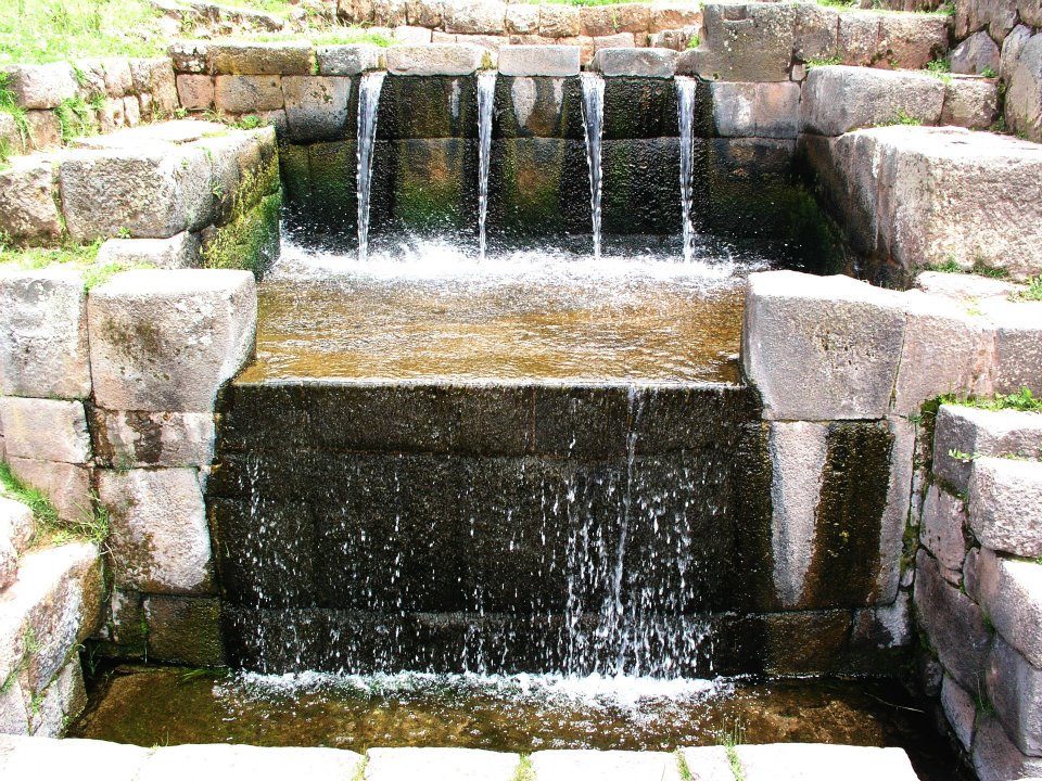
Tambomachay
Tambomachay: spring water still runs through Inca channels into three waterfalls.View on Google Maps
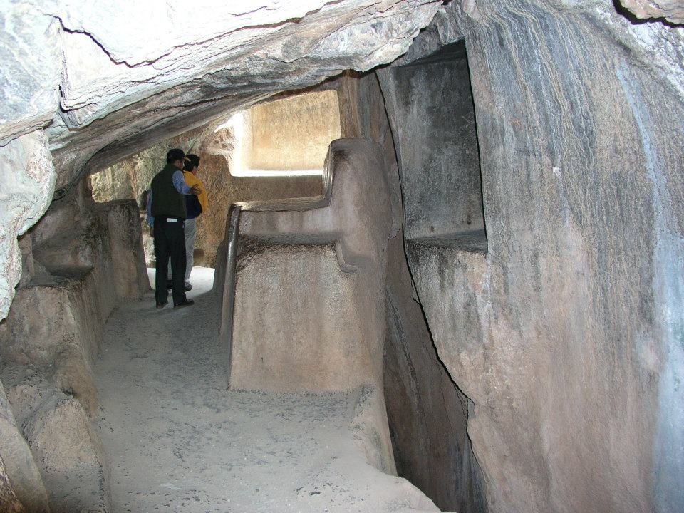
A carved passage in a rock outcrop, probably Qenqo, a shrine whose name is often translated as
A carved passage in a rock outcrop, probably Qenqo, a shrine whose name is often translated as "zigzag" or "labyrinth".View on Google Maps
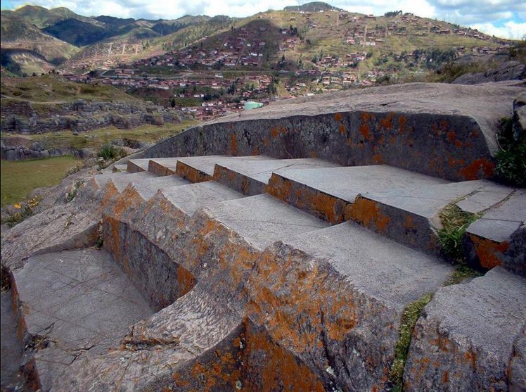
Steps and seats carved straight into the bedrock above the walls
Steps and seats carved straight into the bedrock above the walls; the Inca shaped living rock as well as building with it.View on Google Maps Photo: Jani Korpi, CC BY-SA 3.0, Wikimedia Commons