Travel South

Machu Picchu

The Spanish never found Machu Picchu, yet local farmers were living there when Hiram Bingham arrived in 1911.

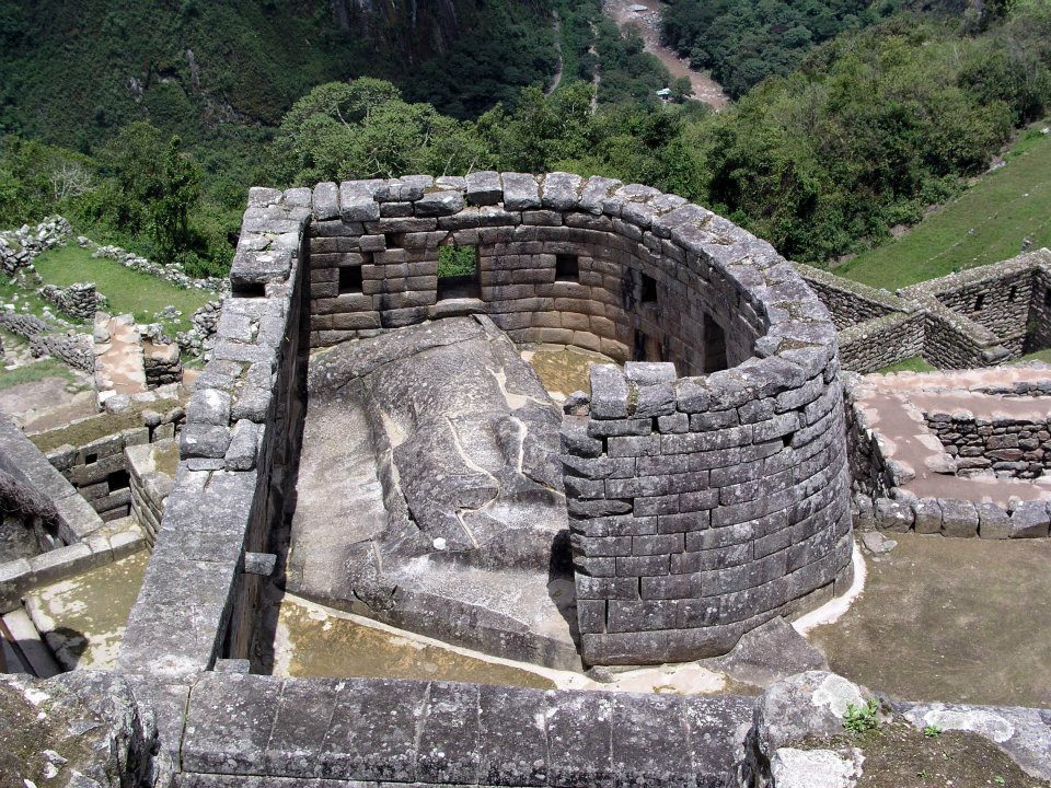
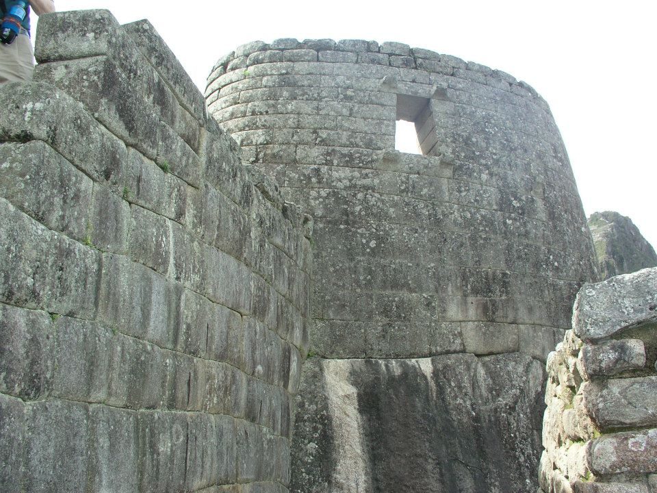
High on a ridge above the Urubamba, Machu Picchu was built as a royal estate, most likely for the Inca ruler Pachacuti. Radiocarbon dating published in 2021 shows people were living here by about AD 1420. Its granite walls lock together without mortar, and near the June solstice a play of light can be seen in the curved Torreón (Ziółkowski & Kościuk 2020): a light effect around the solstice, not a precise calendar.

But... researchers estimate the finest stonework is Inca; some enthusiasts, such as Brien Foerster, ask whether some of it belongs to an older culture, a view mainstream archaeology rejects.

What would you look for first if you walked in at dawn?

Site on the map: Machu Picchu

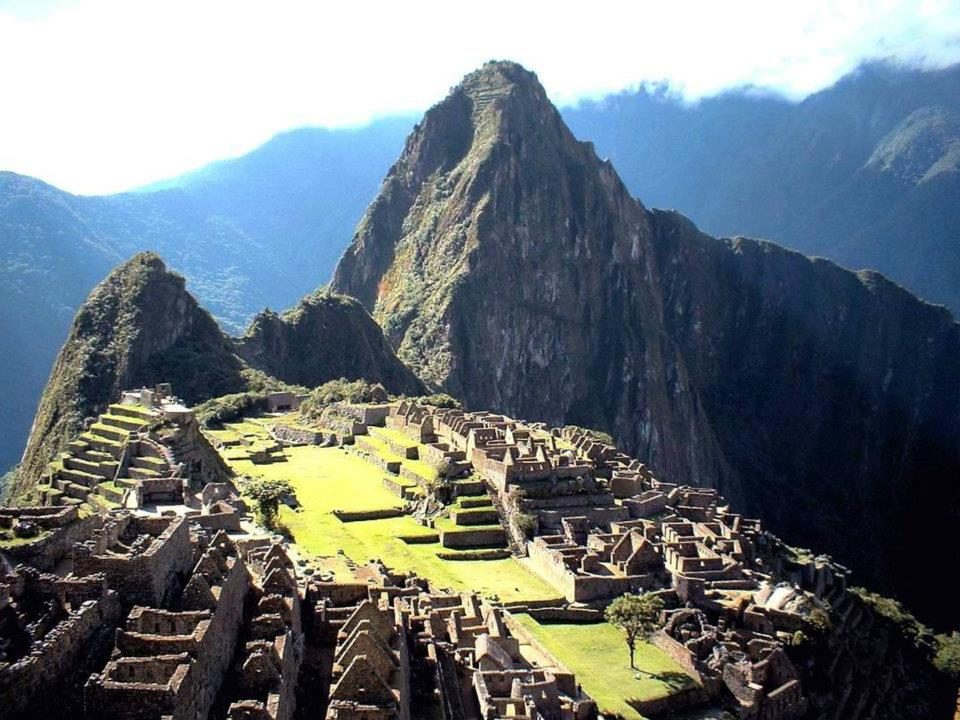
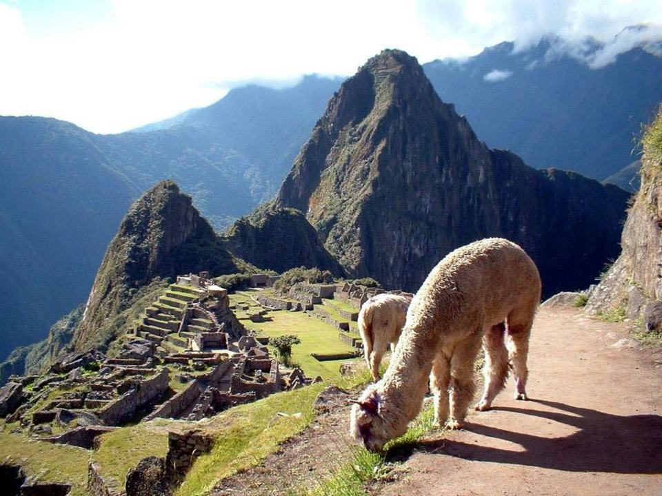
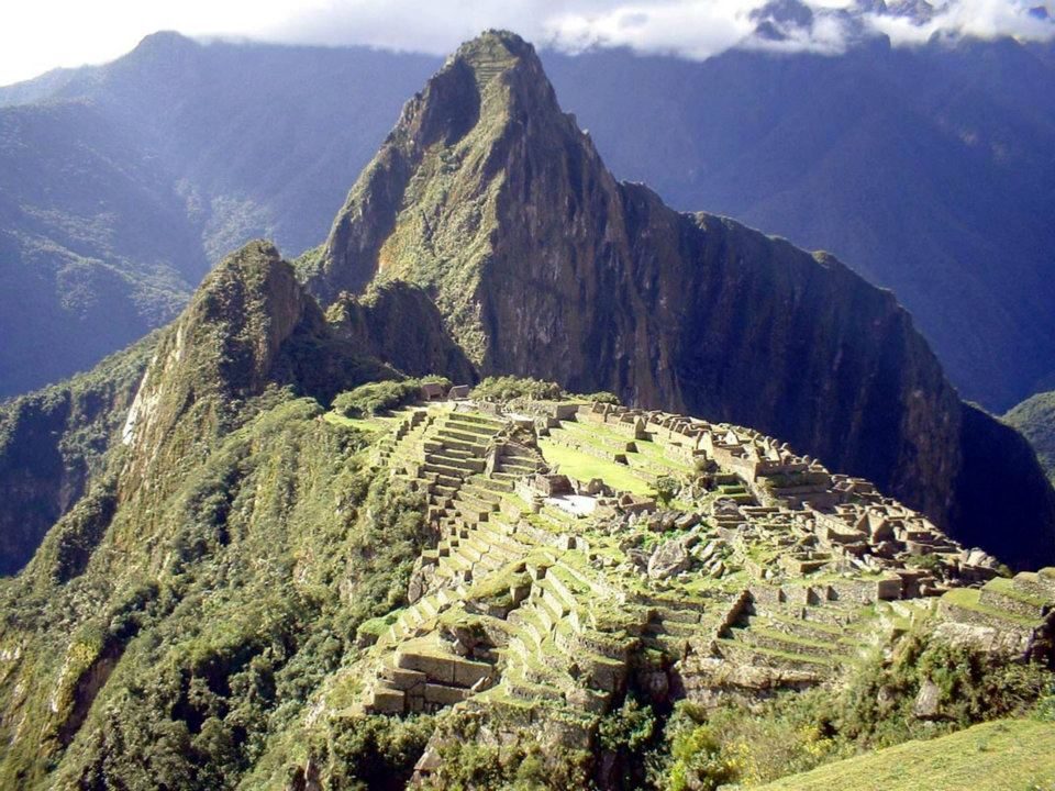
The classic view with Huayna Picchu (about 2,720 m), whose summit also has Inca terraces and buildings
The classic view with Huayna Picchu (about 2,720 m), whose summit also has Inca terraces and buildings.Data: Built: ~1420–1530s · Altitude: ~2,430 m · UNESCO: 1983View on Google Maps
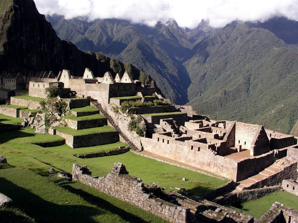
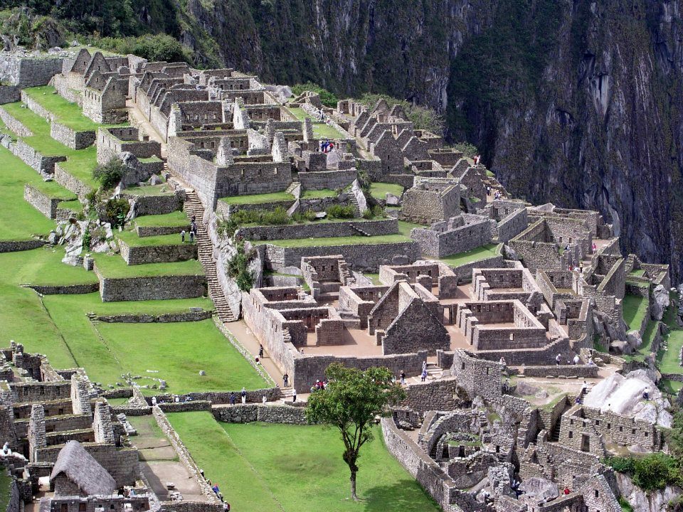
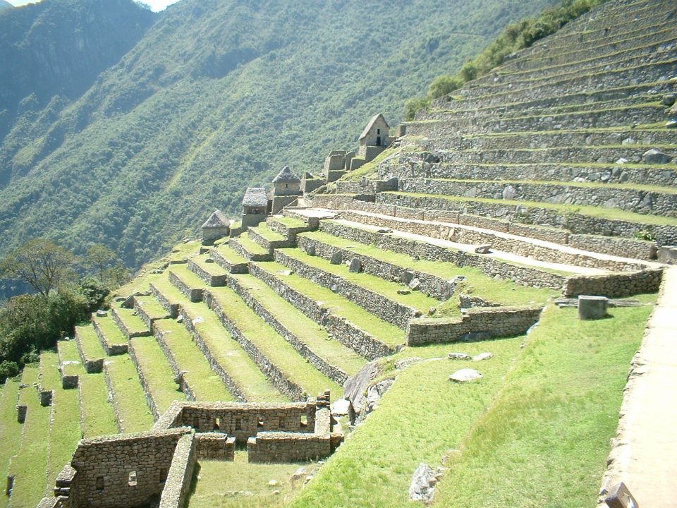
Terraces and buildings
Terraces and buildings. Researchers estimate around 60% of the construction work lies underground, in foundations and drainage.View on Google Maps
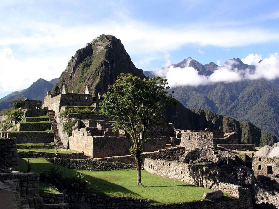
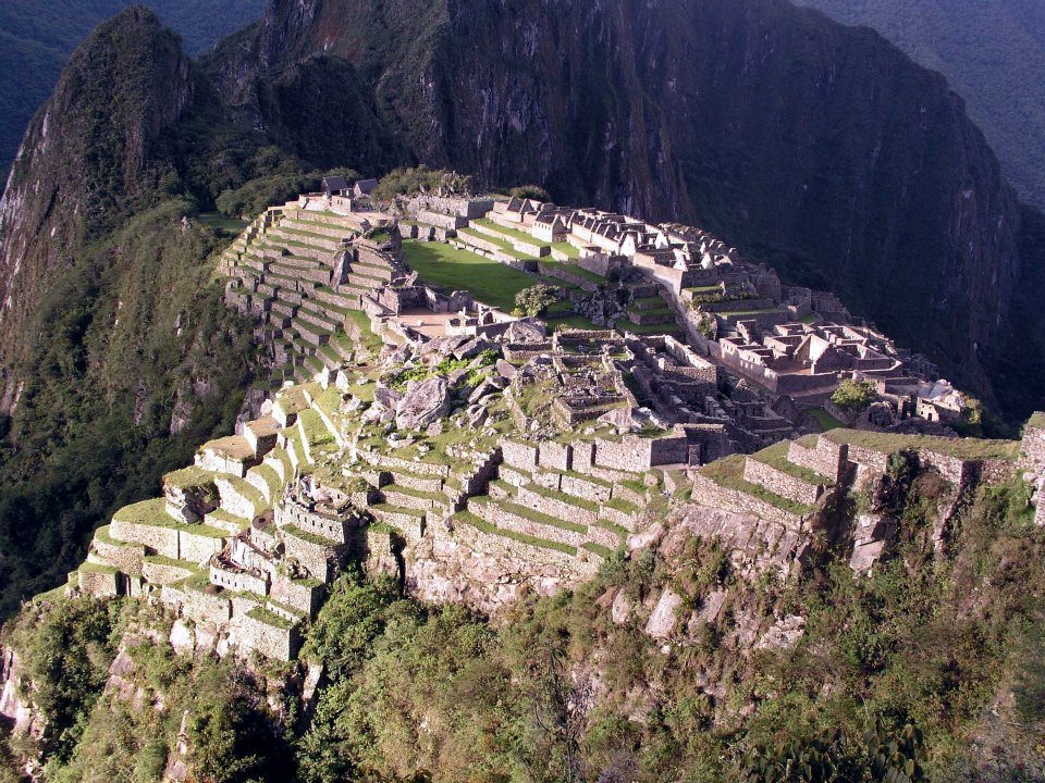
The citadel at about 2,430 m
The citadel at about 2,430 m. Radiocarbon dating (2021) suggests it was occupied from about 1420 to the 1530s.View on Google Maps
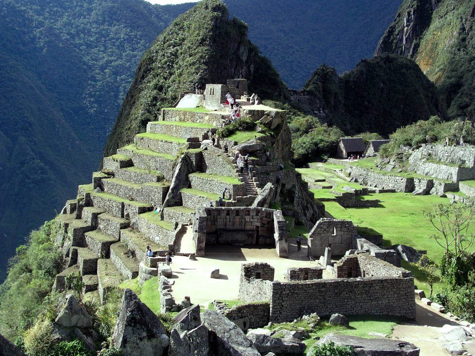
Terraces with Huayna Picchu behind
Terraces with Huayna Picchu behind. Layers of stone, gravel and topsoil drained the heavy rain.View on Google Maps
A llama above the ruins
A llama above the ruins. Llamas were the Andes' only large pack animal, carrying roughly 25–30 kg.View on Google Maps
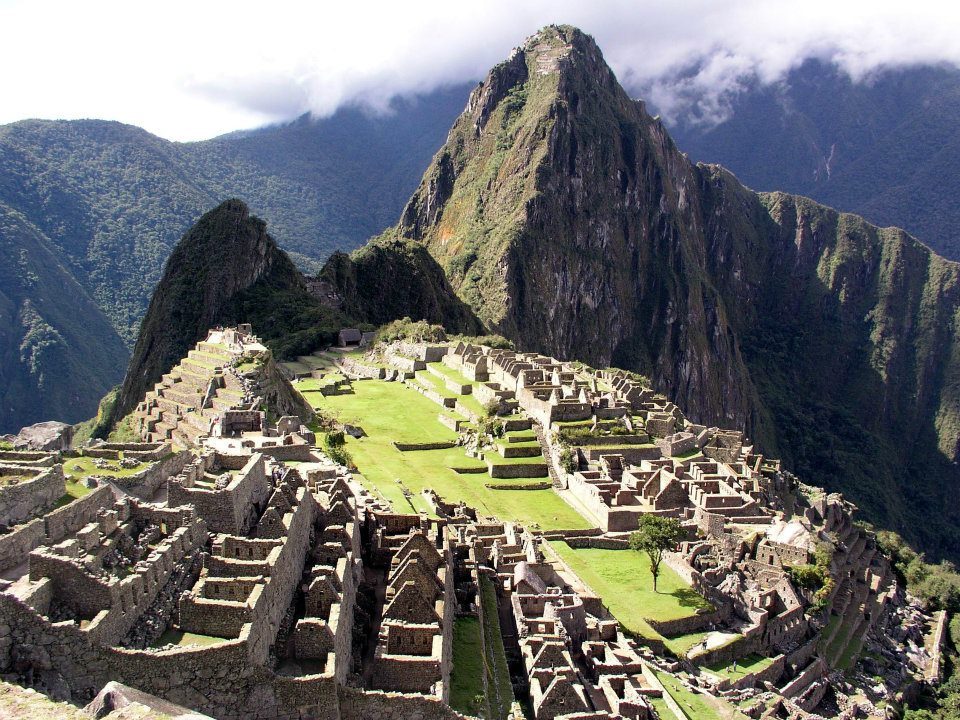
The main plaza and residential sectors
The main plaza and residential sectors; the site has well over 150 buildings.View on Google Maps
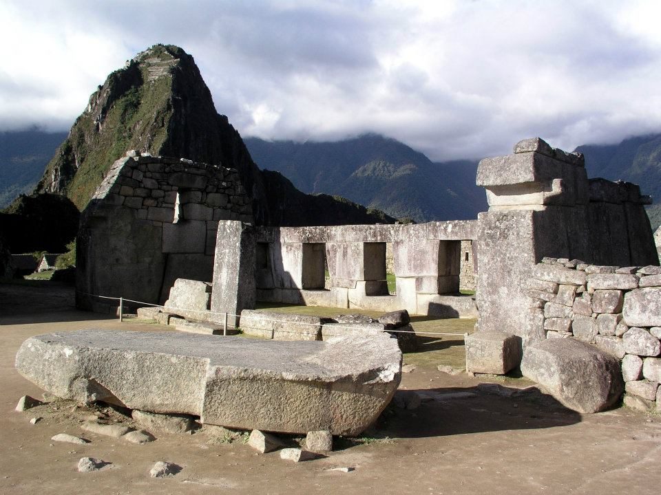
A carved rock
A carved rock. Inca builders turned outcrops into shrines; the best known here is the Intihuatana.View on Google Maps
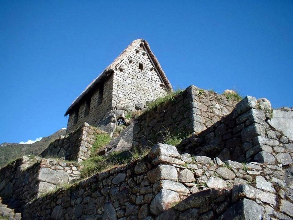
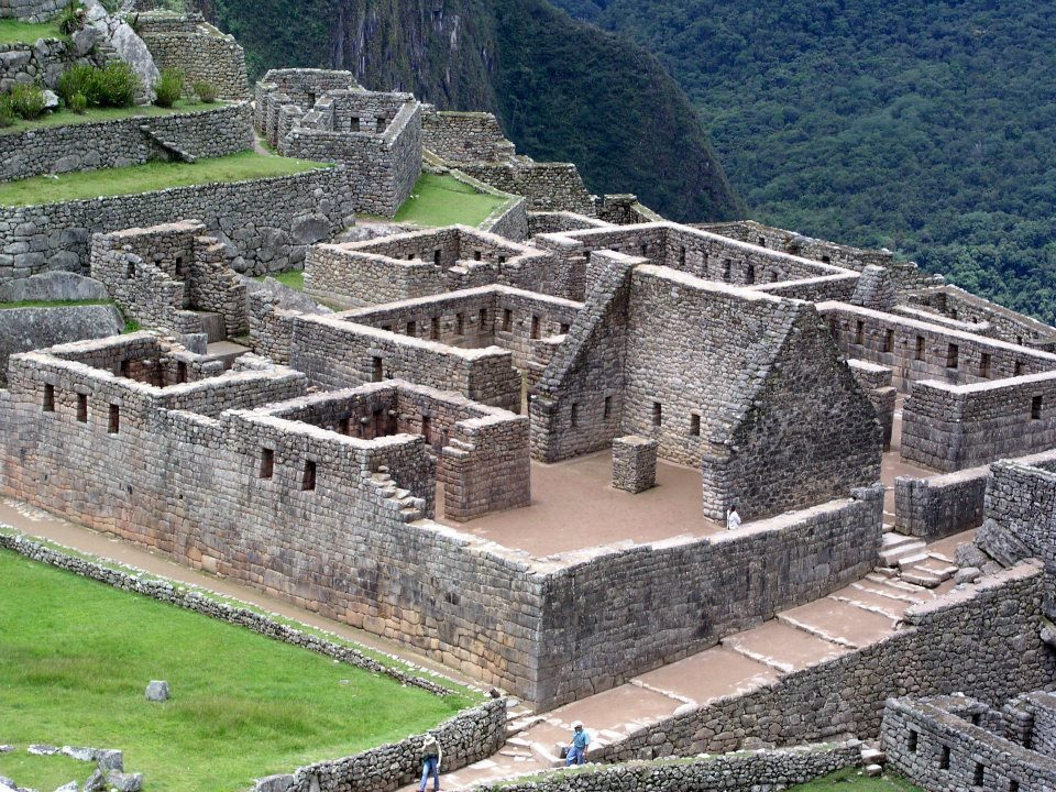
Gabled houses
Gabled houses. Stone pegs on the gables once held the thatched roofs down.View on Google Maps
The curved wall of the Torreon, built around a natural outcrop
The curved wall of the Torreon, built around a natural outcrop.View on Google Maps
Roofless houses
Roofless houses. Estimates suggest at most around 750 people lived here, mostly serving the royal household.View on Google Maps
From the upper terraces
From the upper terraces. The name means "Old Peak" in Quechua.View on Google Maps
Mist over the ruins
Mist over the ruins. Local farmers still lived here when Hiram Bingham arrived in 1911.View on Google Maps
Agricultural terraces
Agricultural terraces. With their drainage they have held the slope for over 500 years.View on Google Maps
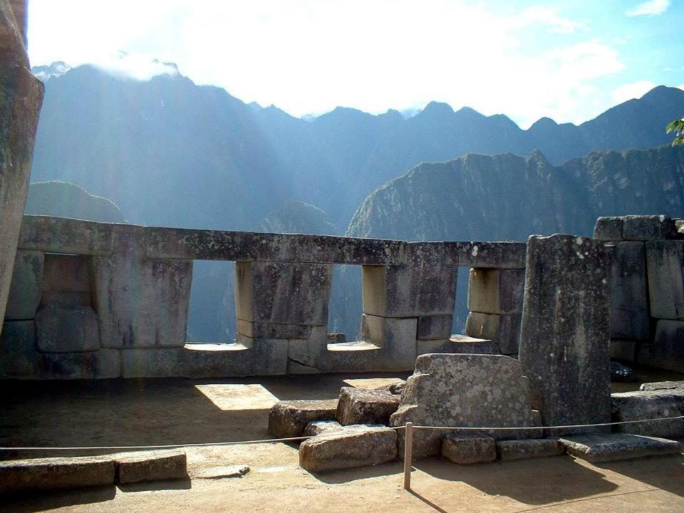
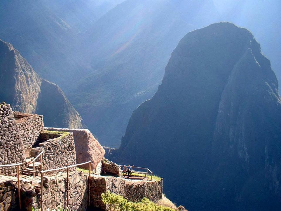
Trapezoidal windows, a hallmark of Inca design, in coursed granite
Trapezoidal windows, a hallmark of Inca design, in coursed granite.View on Google Maps
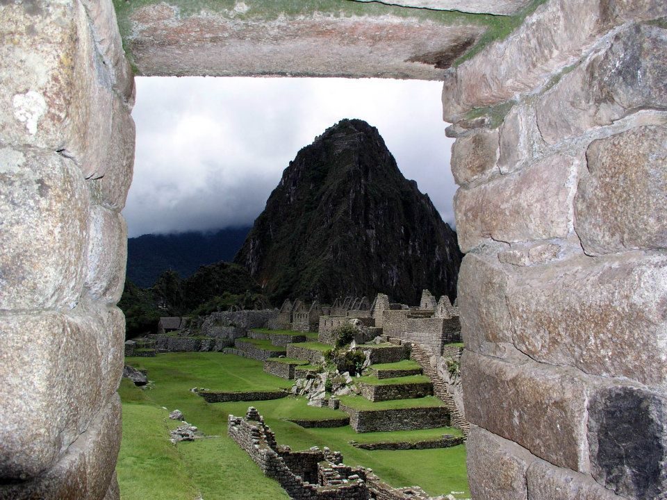
A trapezoidal doorway
A trapezoidal doorway. The walls lock together without mortar.View on Google Maps
Machu Picchu sits about 450 m above the Urubamba River
Machu Picchu sits about 450 m above the Urubamba River.View on Google Maps
Peaks in the haze
Peaks in the haze. Machu Picchu became a UNESCO site in 1983 and one of the New Seven Wonders in 2007.View on Google Maps
The curved Torreón wall
The curved Torreón wall. Near the June solstice, light falls on the stone inside (Ziółkowski & Kościuk 2020): a light effect around the solstice, not a precise calendar.View on Google Maps
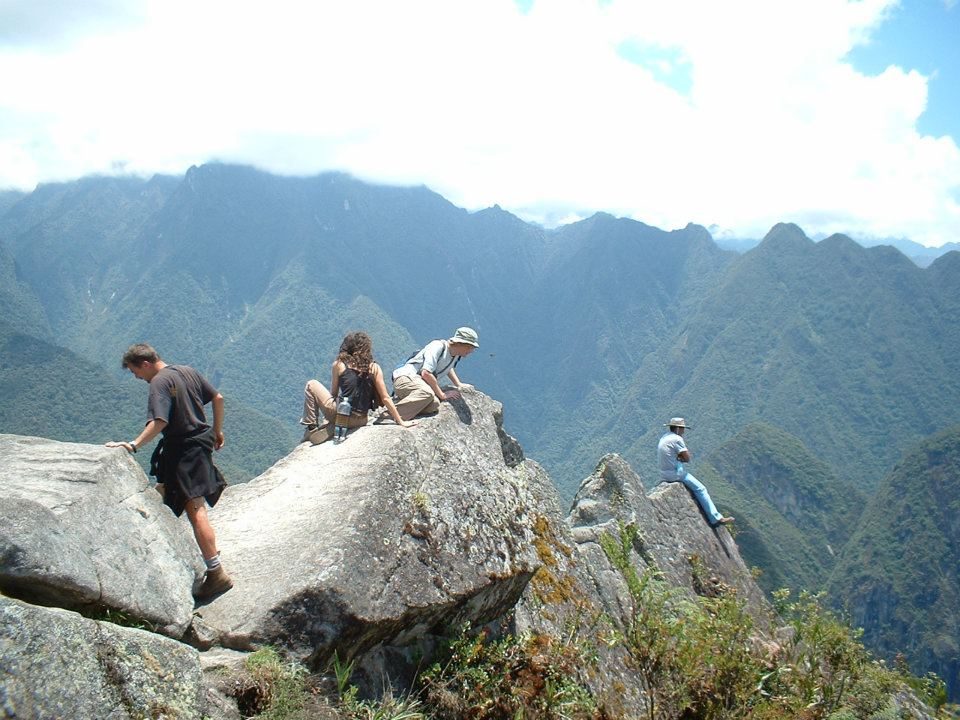
Visitors above the valley
Visitors above the valley. Daily ticket numbers are capped to limit wear on the site.View on Google Maps
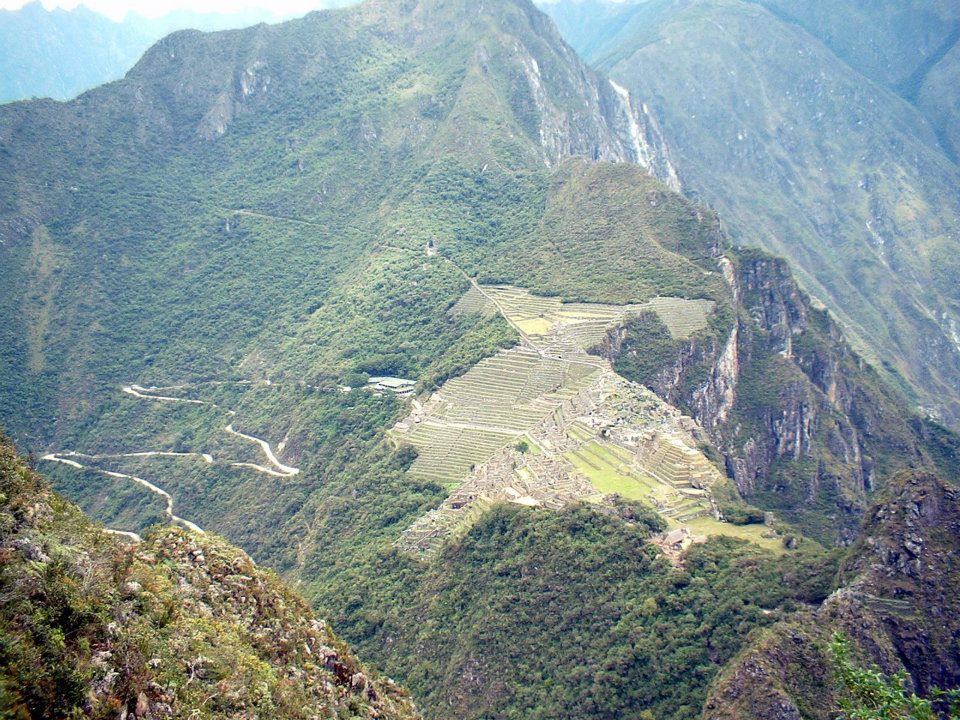
The Hiram Bingham road switchbacks up from the valley
The Hiram Bingham road switchbacks up from the valley.View on Google Maps