Travel South

Salar de Uyuni

This salt flat is so flat that it is used to calibrate satellite altimeters.

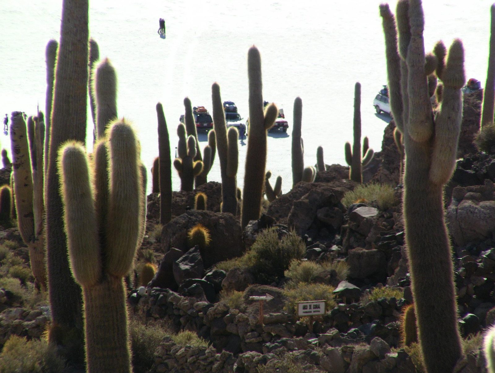
Salar de Uyuni is the largest salt flat on Earth, over 10,000 square km of white left by vanished prehistoric lakes. Cactus-covered Isla Incahuasi breaks the horizon, salt workers at Colchani cut blocks by hand, and outside Uyuni rusting steam locomotives recall the mining railways.

But... beneath the crust lies one of the world's largest lithium deposits. Researchers estimate the reserves are huge; some ask what extracting them will do to this landscape.

Would you rather see it dry and white, or as a mirror after rain?

Site on the map: Salar de Uyuni · Isla Incahuasi

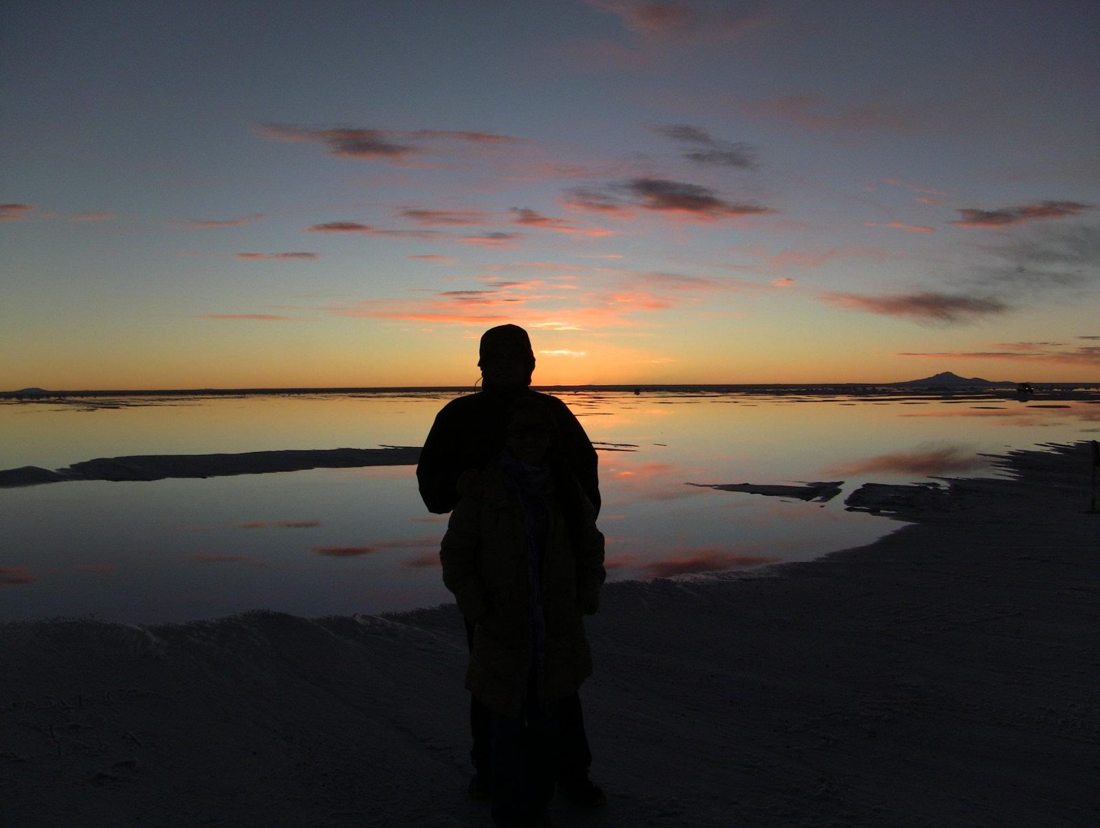
A silhouette on Salar de Uyuni, the largest salt flat on Earth at about 10,582 km²
A silhouette on Salar de Uyuni, the largest salt flat on Earth at about 10,582 km².Data: Area: 10,582 km² · Altitude: ~3,656 m · Height variation: < 1 mView on Google Maps
Ready to set off across the salar at about 3,656 m
Ready to set off across the salar at about 3,656 m. The salt is what remains of a chain of Late Pleistocene lakes; some 30,000–42,000 years ago the area lay under the giant Lake Minchin.View on Google Maps
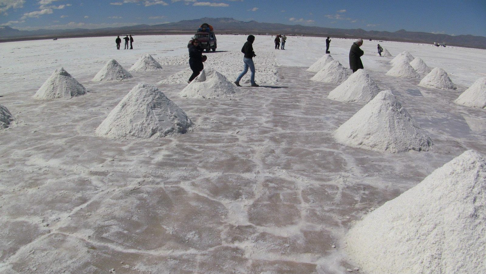
Salt piles drying at Colchani
Salt piles drying at Colchani, where workers cut and process the salt by hand.View on Google Maps
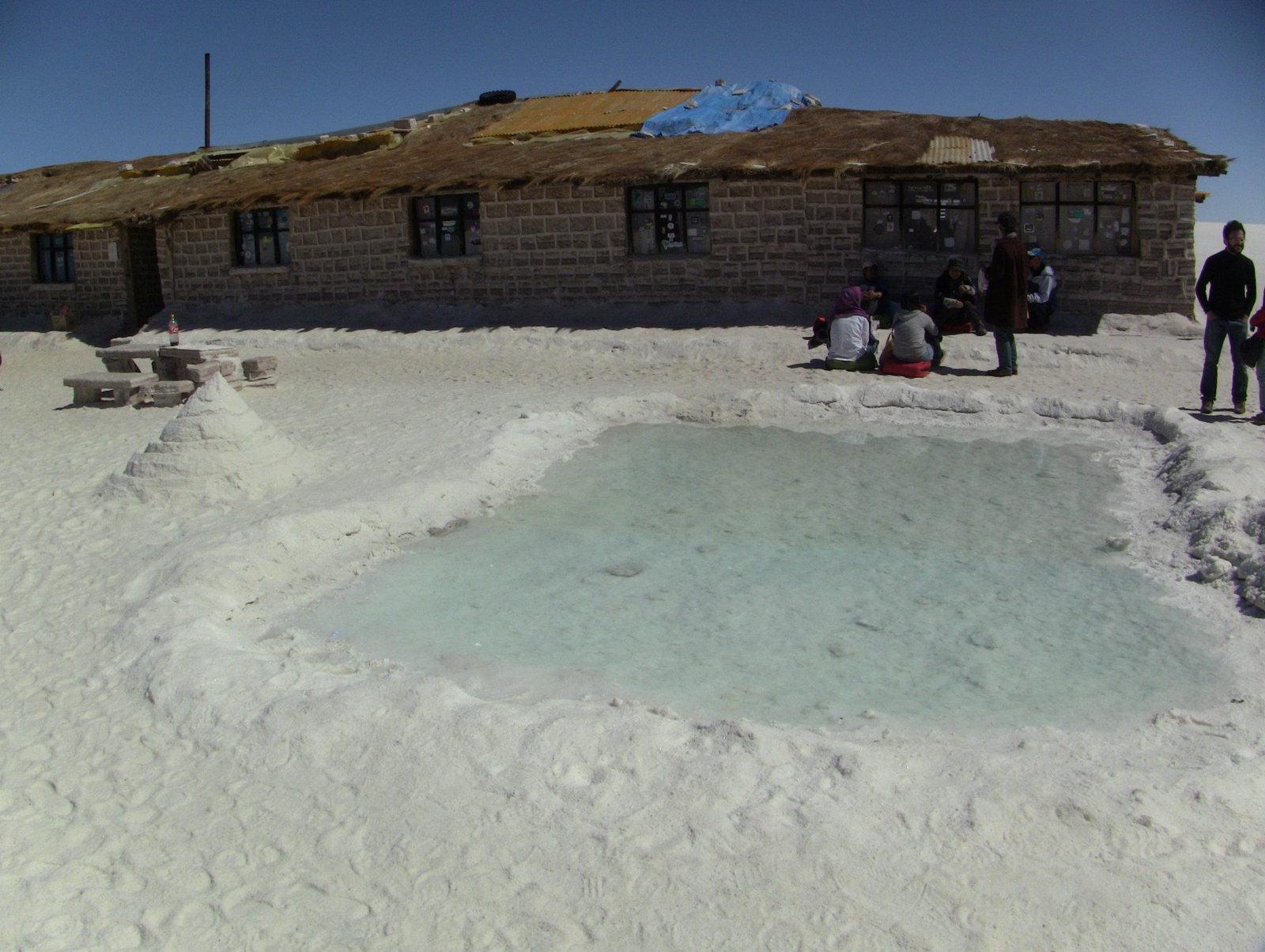
A hotel built from salt blocks on the edge of the salar
A hotel built from salt blocks on the edge of the salar; even beds and tables are salt.View on Google Maps
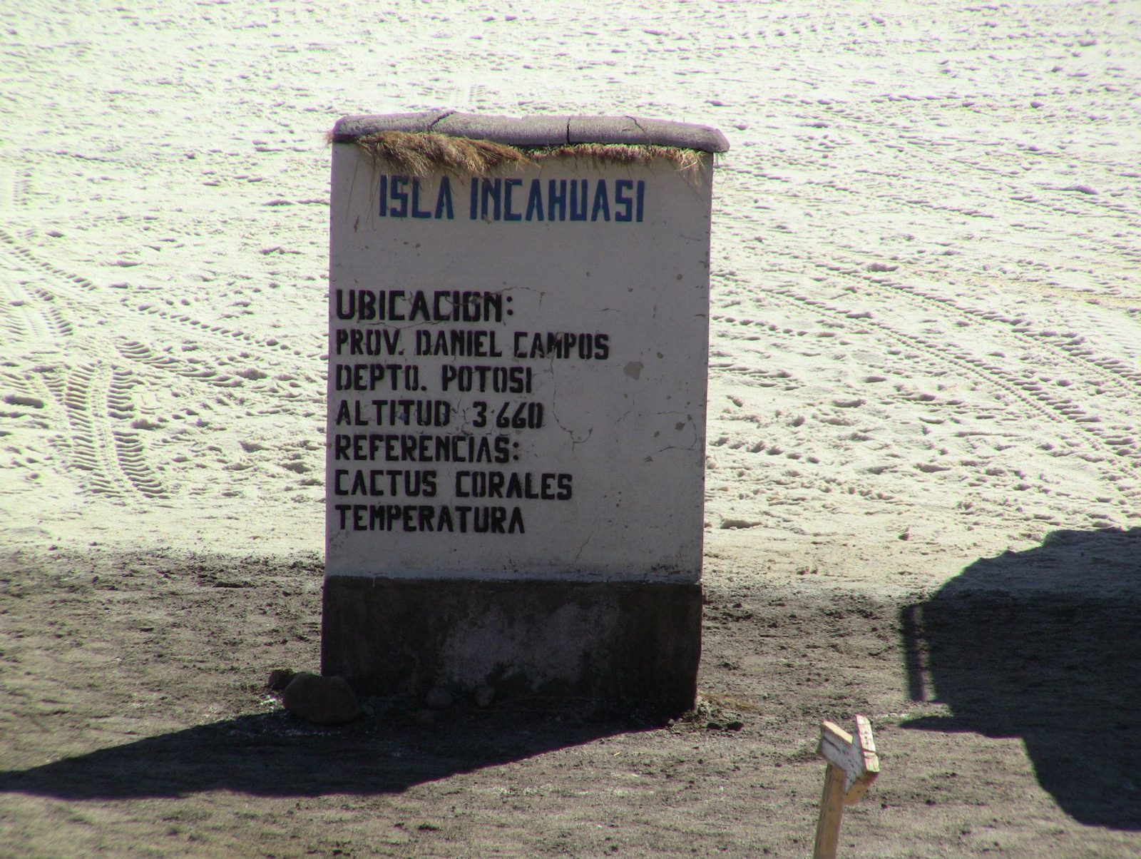
A sign on the flat
A sign on the flat. Across the whole salar, elevation varies by less than 1 m.View on Google Maps
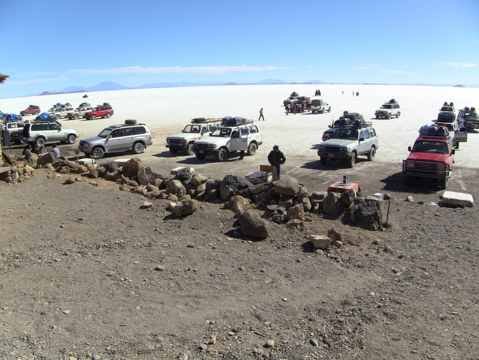
Jeeps on the white plain
Jeeps on the white plain. The salt crust is up to about 8 m thick in places.View on Google Maps
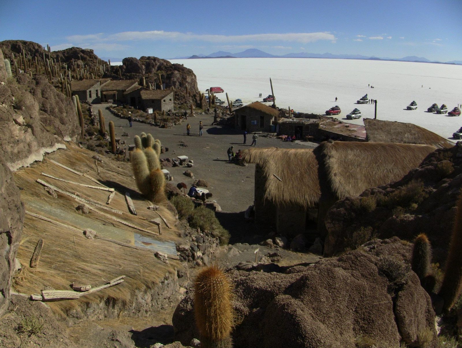
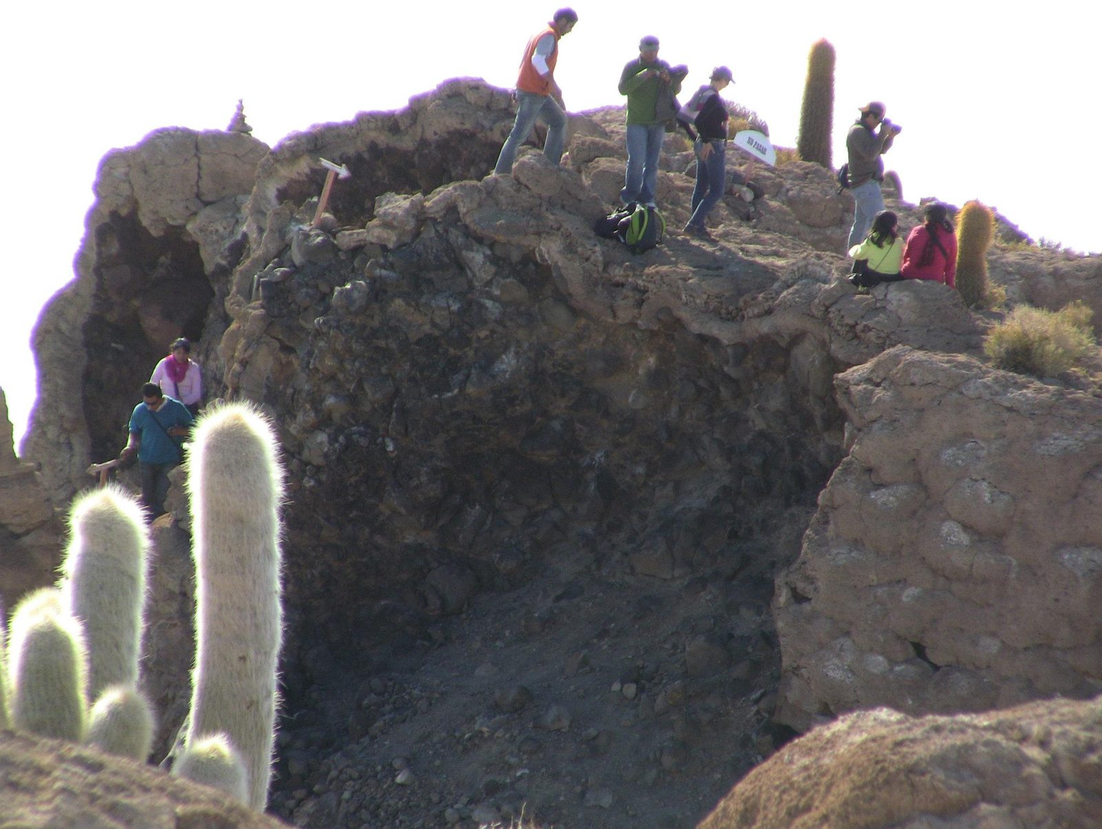
The view from Isla Incahuasi, an ancient volcano top covering 24.62 ha
The view from Isla Incahuasi, an ancient volcano top covering 24.62 ha.Data: Area: 24.62 haView on Google Maps
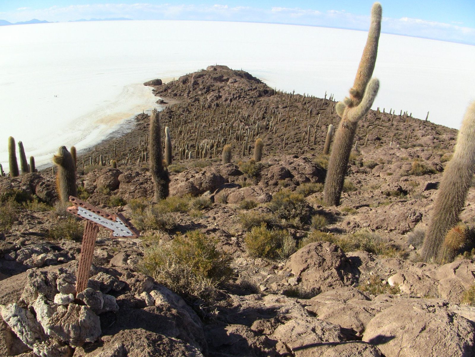
Cacti and salt from the island
Cacti and salt from the island. Its rocks include fossil algae from the prehistoric lake.View on Google Maps
Giant cacti (Trichocereus) on Isla Incahuasi
Giant cacti (Trichocereus) on Isla Incahuasi; many are said to be centuries old.View on Google Maps
The top of Isla Incahuasi, about 100 km west of Uyuni
The top of Isla Incahuasi, about 100 km west of Uyuni. Its giant cacti (Echinopsis atacamensis) can exceed 10 m; the island is often confused with Isla del Pescado, 22 km to the northwest.View on Google Maps
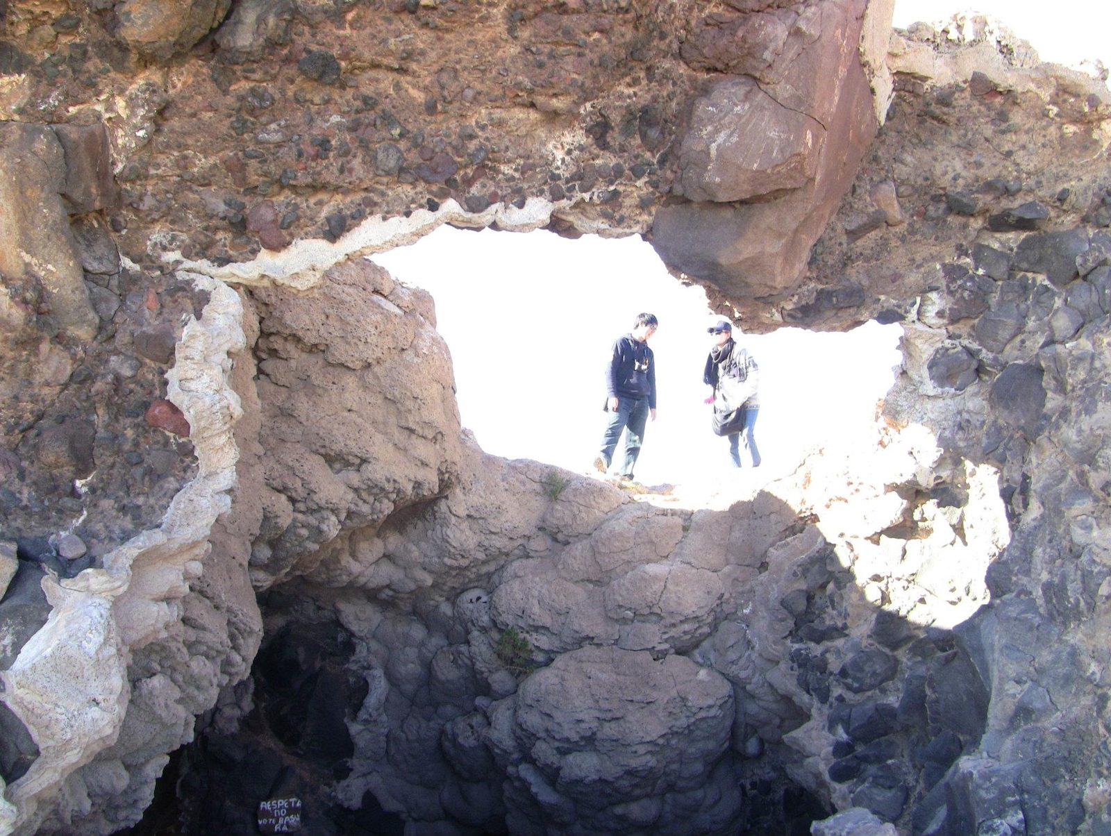
A coral-like rock arch, formed of deposits from the ancient lake
A coral-like rock arch, formed of deposits from the ancient lake.View on Google Maps
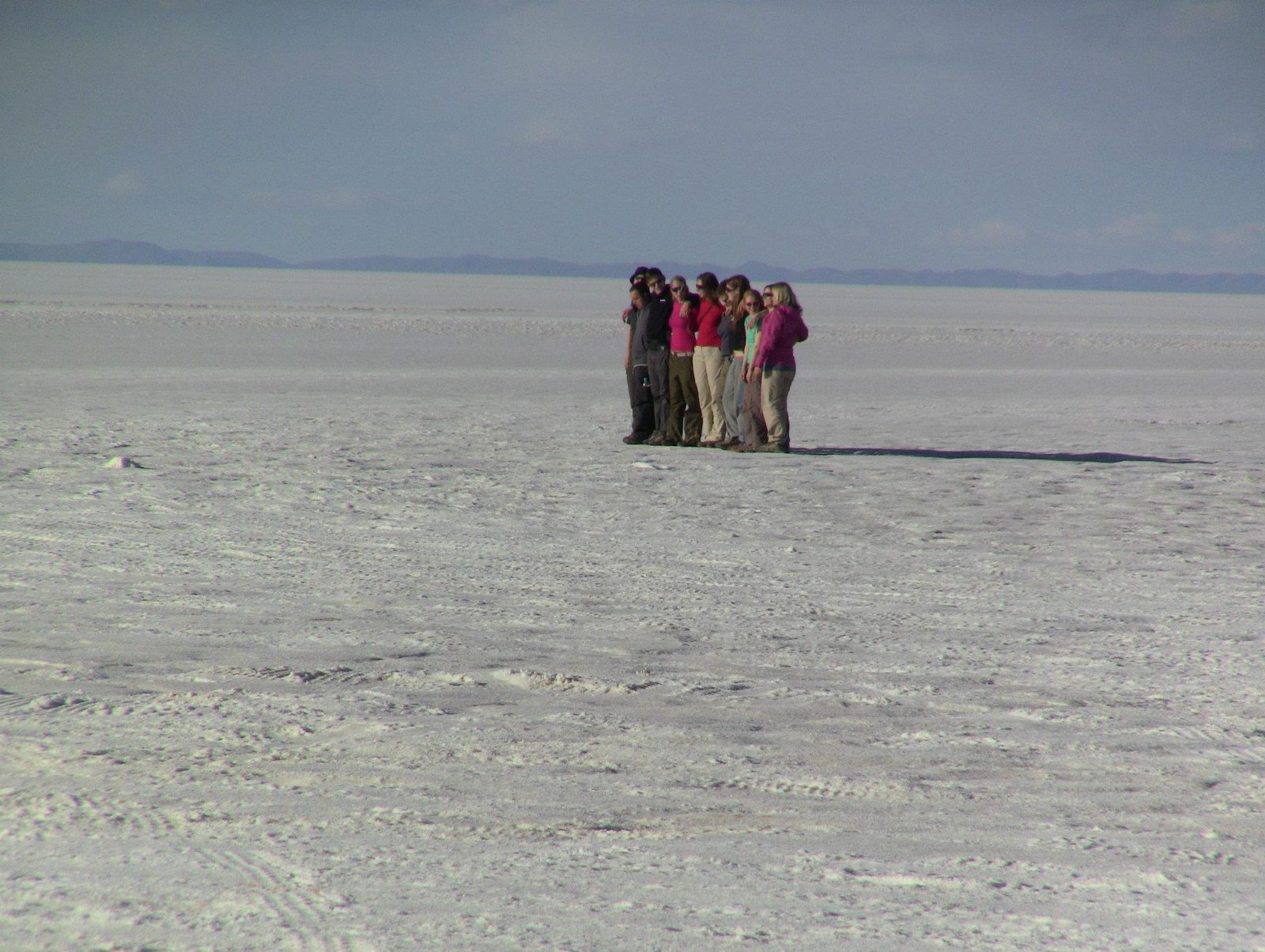
Tiny figures on endless white
Tiny figures on endless white. The flatness makes forced-perspective photos easy.View on Google Maps
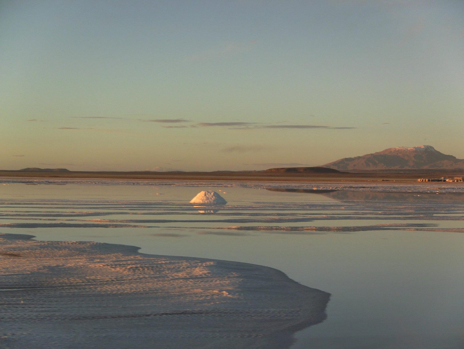
Sunset on the salt
Sunset on the salt. Beneath the crust lies one of the world's largest lithium deposits.View on Google Maps
Dusk
Dusk. The salar is so flat it is used to calibrate satellite altimeters.View on Google Maps
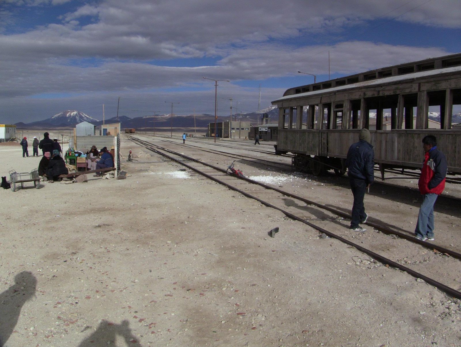
An old train in the train cemetery outside Uyuni, a relic of mining railways
An old train in the train cemetery outside Uyuni, a relic of mining railways.View on Google Maps
Rusting engines at Uyuni, founded in 1889 as a railway town serving the mines
Rusting engines at Uyuni, founded in 1889 as a railway town serving the mines.View on Google Maps
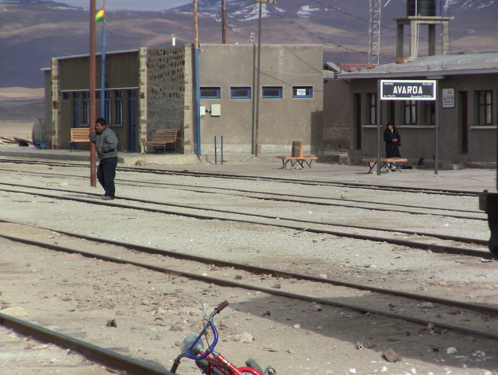
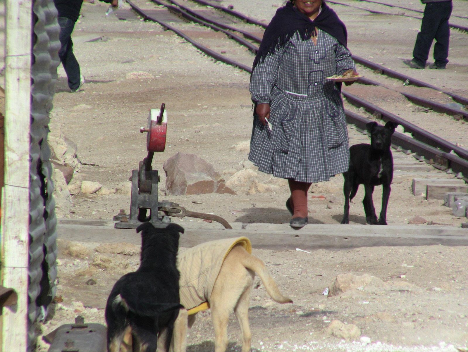
A local woman by the tracks
A local woman by the tracks. Tourism to the salar is now a mainstay of Uyuni's economy.View on Google Maps