Travel South

El Fuerte de Samaipata

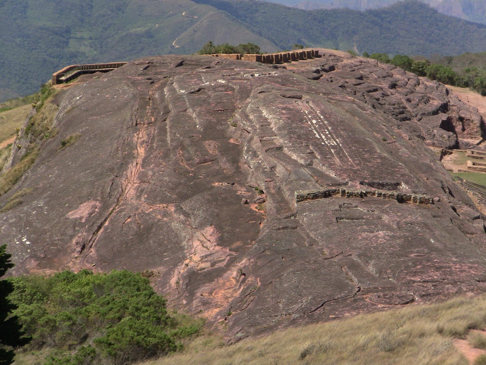
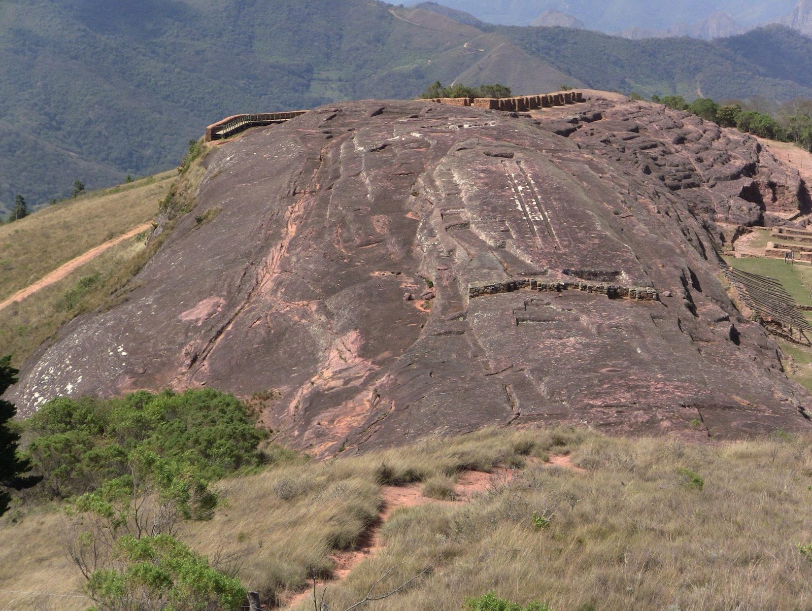
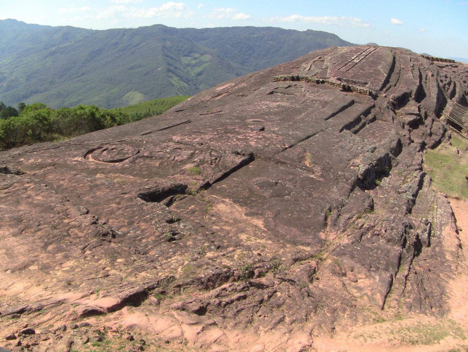
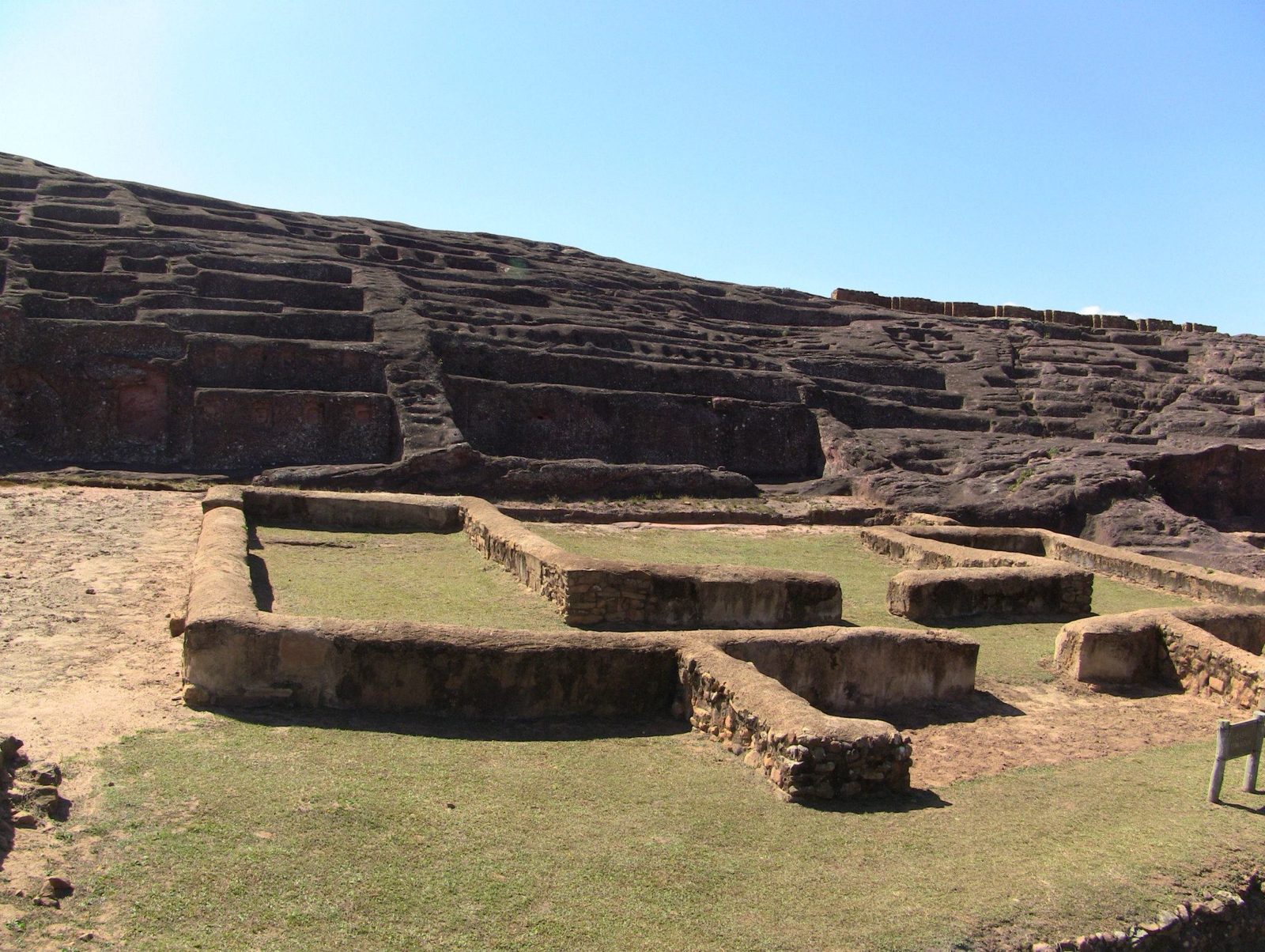
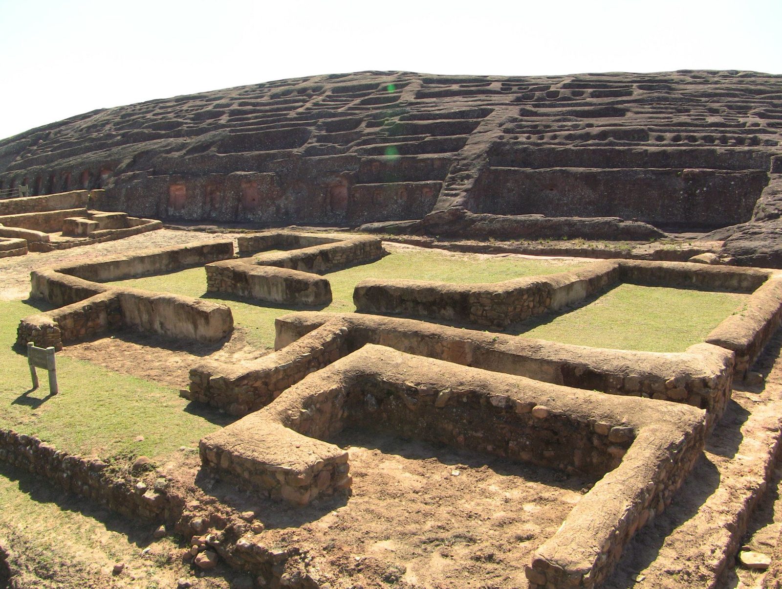
A whole sandstone ridge, about 220 metres long, carved into channels, seats, niches and animal figures.

El Fuerte de Samaipata in eastern Bolivia is attributed to pre-Inca peoples, with later Inca buildings around the rock, and was listed by UNESCO in 1998. Felines and serpents are among the carvings, and erosion now threatens them, so visitors may no longer walk on the rock.

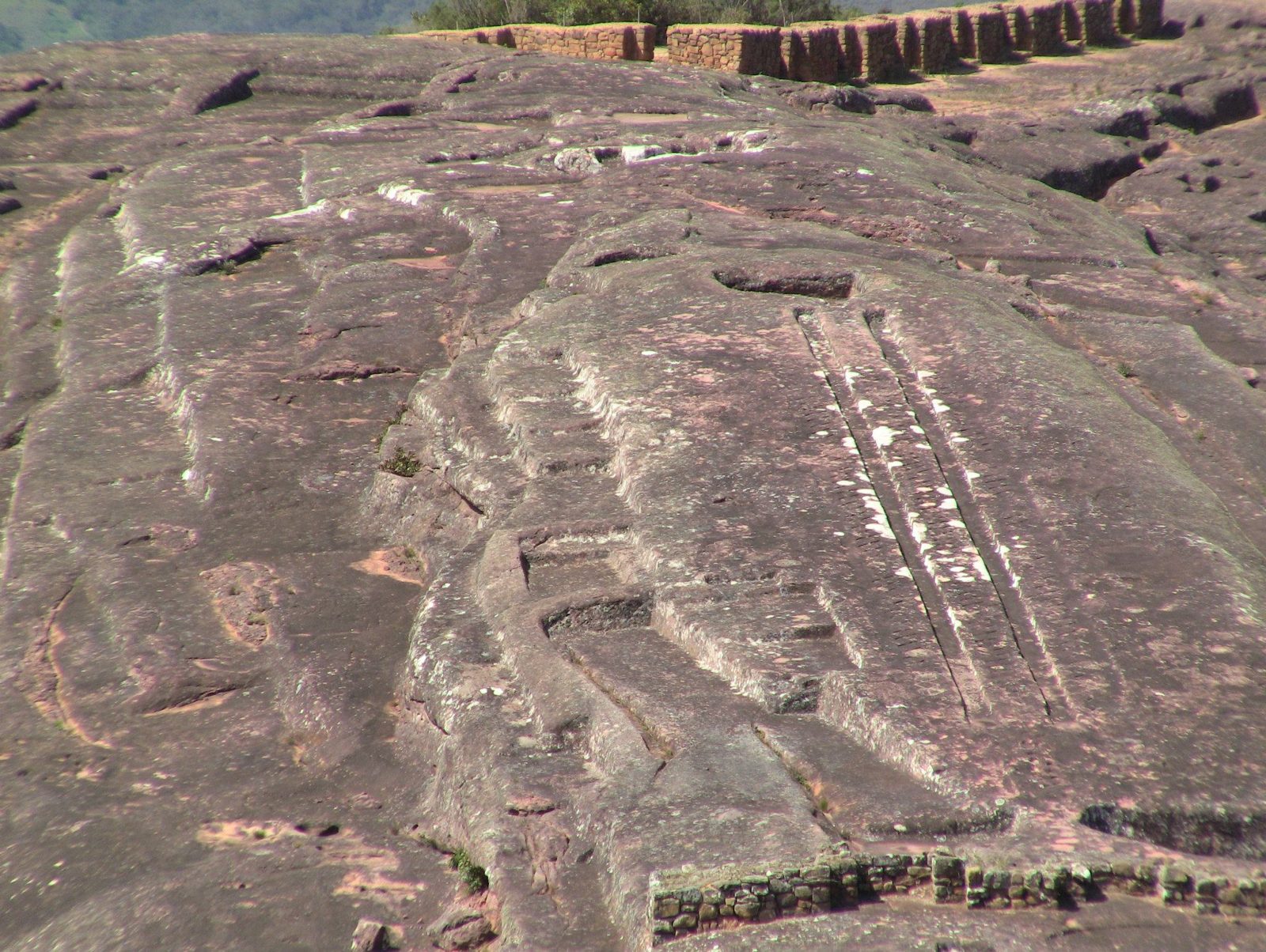
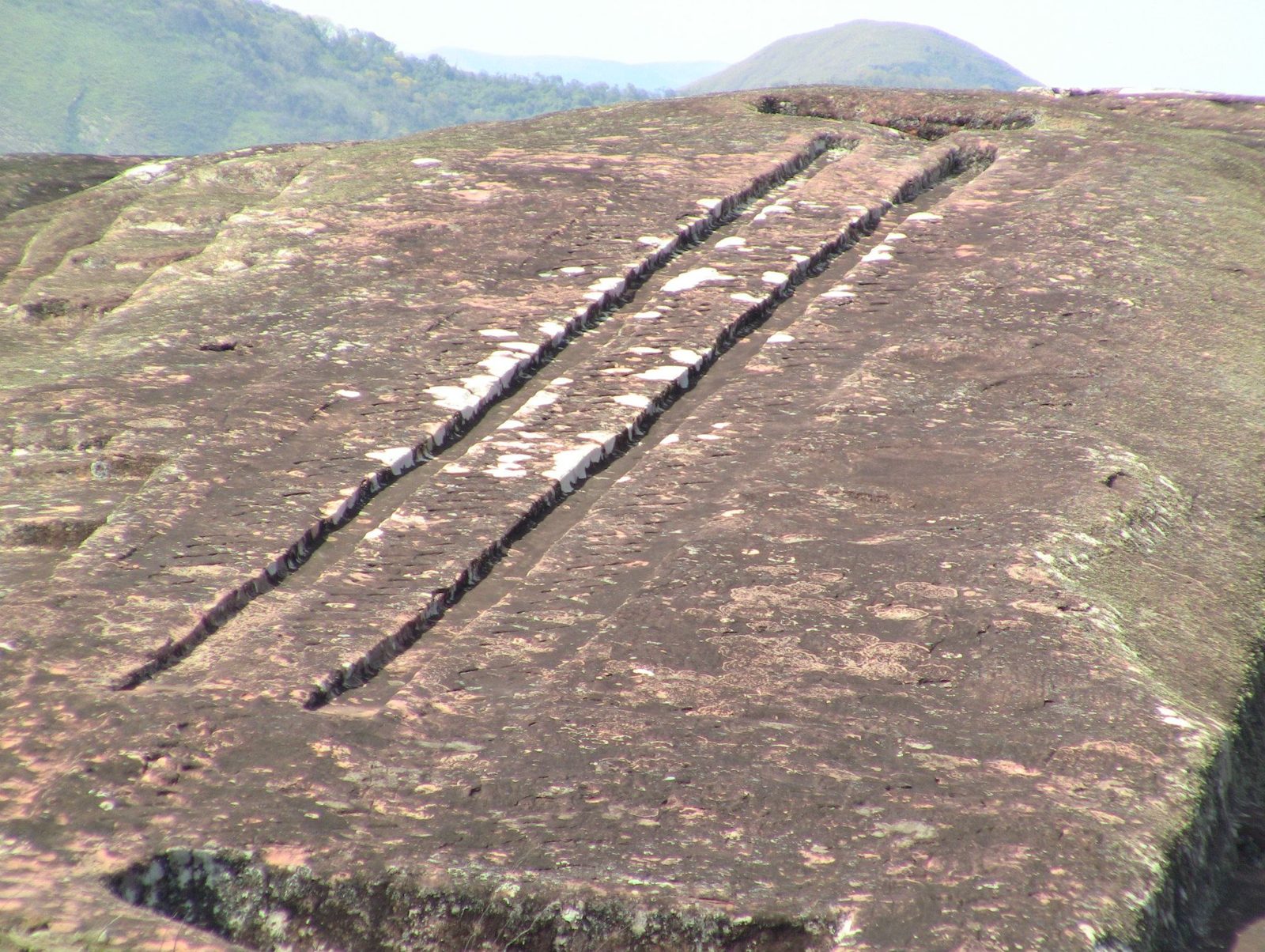
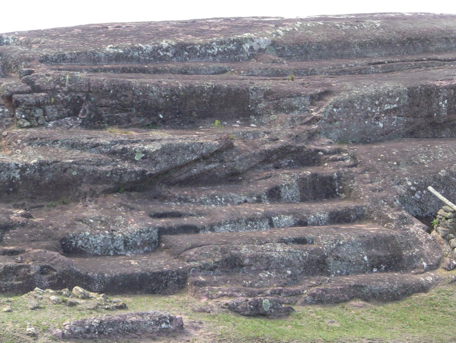
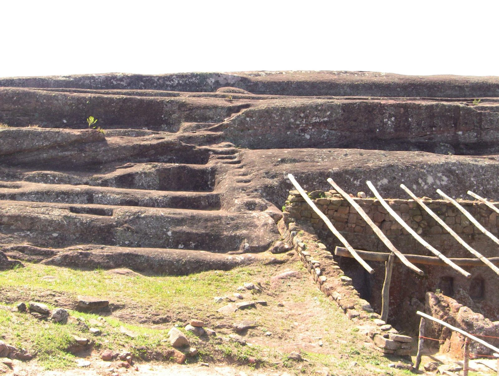
But... the two long parallel grooves along the top spark the most speculation. Researchers estimate they were ritual water channels; some enthusiasts ask whether they were a launch ramp, an idea with no archaeological support.

What do you see in those grooves?

Site on the map: El Fuerte de Samaipata

The carved sandstone ridge of El Fuerte, a UNESCO site since 1998
The carved sandstone ridge of El Fuerte, a UNESCO site since 1998.Data: Stone: sandstone · Length: ~220 m · UNESCO: 1998View on Google Maps
The sculpted rock saddle is about 220 × 60 m and almost entirely covered with Inca and pre-Inca carvings
The sculpted rock saddle is about 220 × 60 m and almost entirely covered with Inca and pre-Inca carvings; carving probably began with the Chané around AD 300.View on Google Maps
Channels and shapes cut into the rock
Channels and shapes cut into the rock; felines and serpents are among the carvings.View on Google Maps
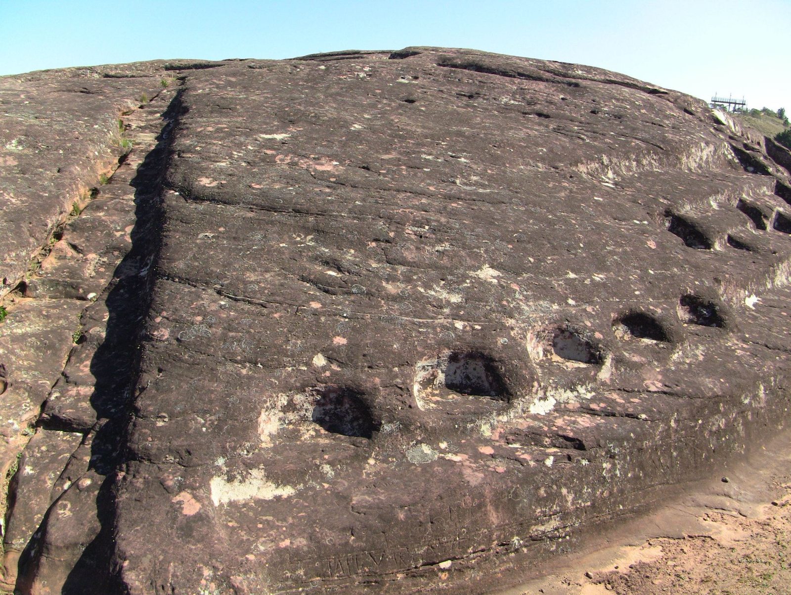
Carved basins, often interpreted as places for liquid offerings
Carved basins, often interpreted as places for liquid offerings.View on Google Maps
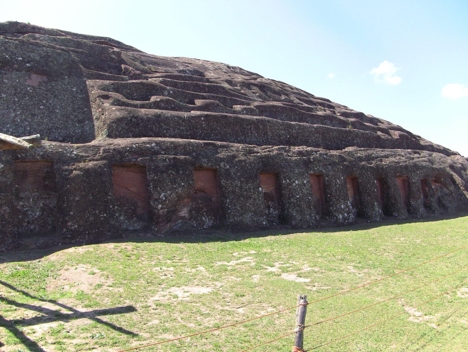
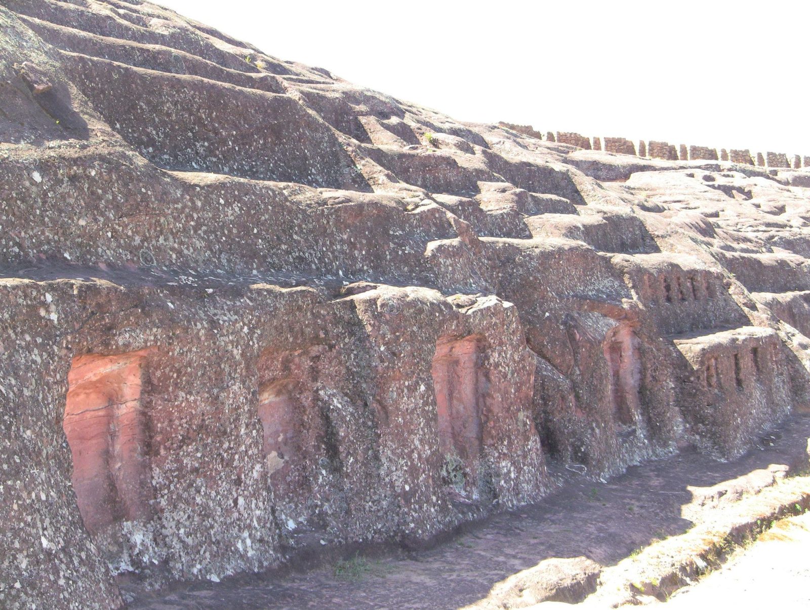
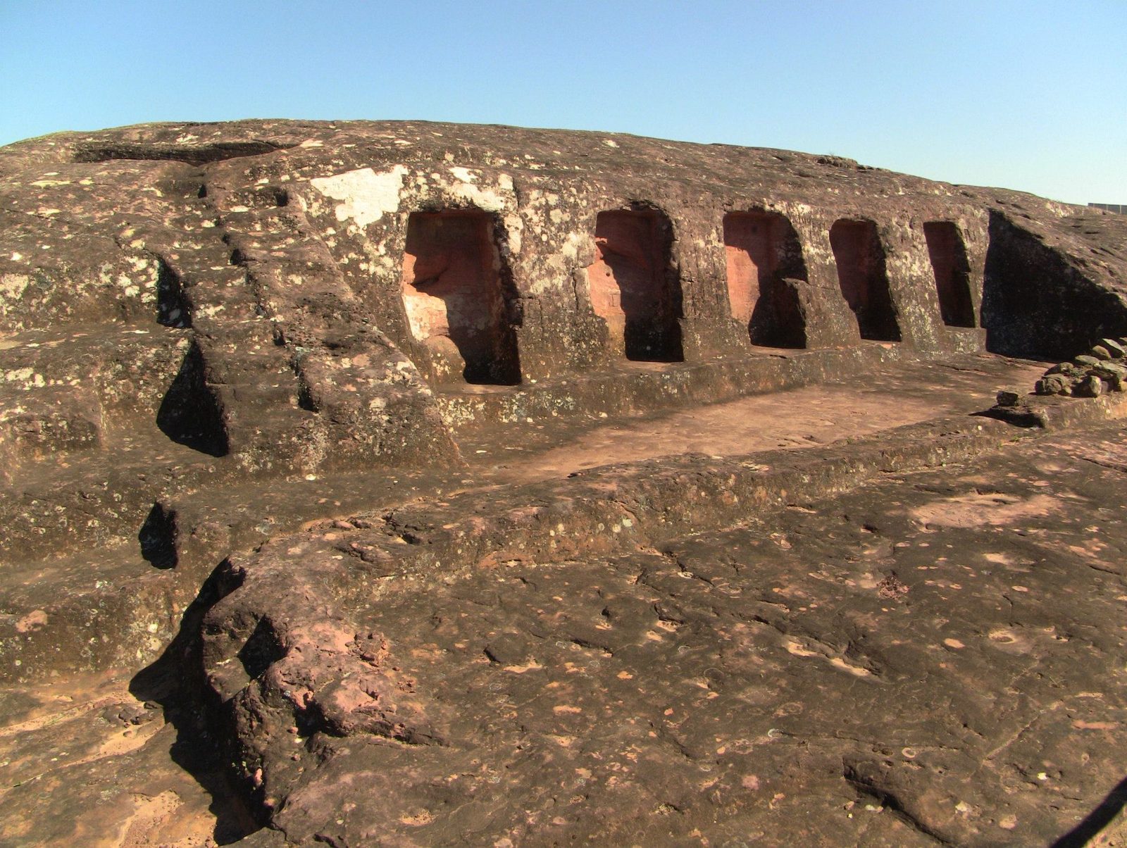
Niches along the rock face
Niches along the rock face. The Inca took the site under Tupac Yupanqui (1471–93).View on Google Maps
The carved rock
The carved rock. El Fuerte is unusual in holding the work of three cultures on one site: Chané, Inca and Spanish.View on Google Maps
The two long parallel grooves
The two long parallel grooves. Researchers favour ritual water channels; the "launch ramp" idea has no support.View on Google Maps
The grooves along the crest
The grooves along the crest. The earliest carving is linked to the Mojocoyas period (c. AD 200–800); individual cuts cannot be dated, so which are pre-Inca is not always clear.View on Google Maps
Niches cut into the rock wall, similar to those in Inca buildings
Niches cut into the rock wall, similar to those in Inca buildings.View on Google Maps
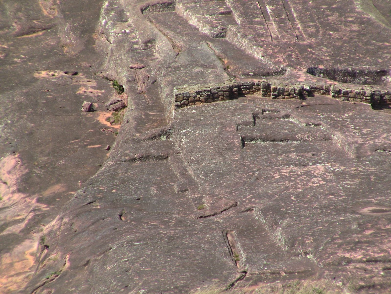
Inca-era foundations
Inca-era foundations. The site was a frontier post facing the Chiriguanos (Guaraní).View on Google Maps
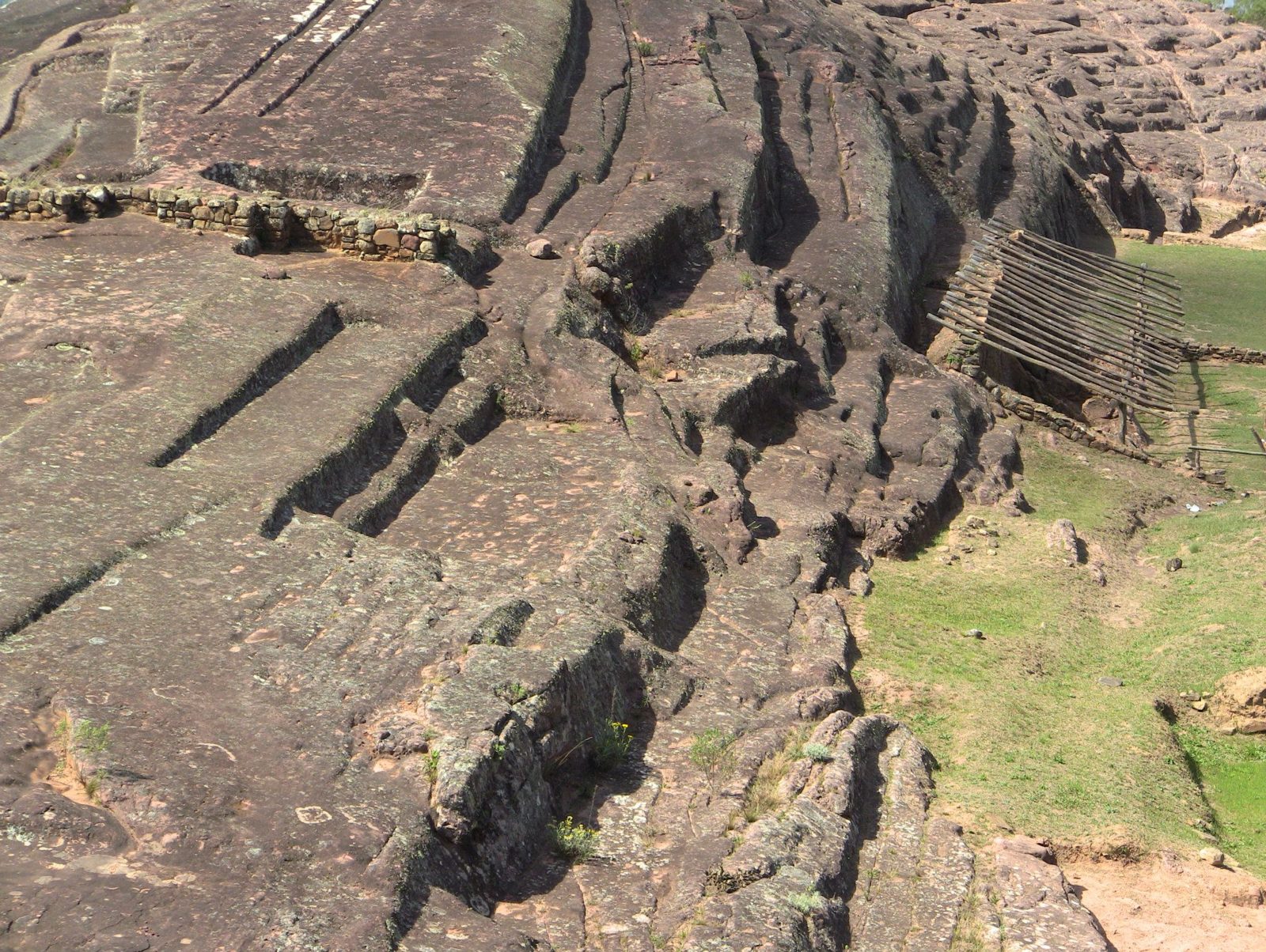
The rock face
The rock face. Visitors may no longer walk on the rock because erosion threatens the carvings.View on Google Maps
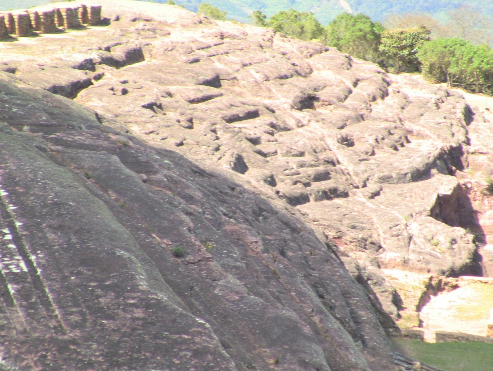
Weathered niches
Weathered niches: soft sandstone erodes fast in rain and wind.View on Google Maps
Foundations of later buildings
Foundations of later buildings. The Spanish occupied the site from the 1570s and founded a settlement in 1615.View on Google Maps
Inca sector walls
Inca sector walls. The great Inca hall (kallanka) here measured about 68 by 16 m.Data: Size: ~68 × 16 mView on Google Maps
A groove with carved notches
A groove with carved notches. Open question: what the notches were for is unknown.View on Google Maps
Carved niches below the rock
Carved niches below the rock. Open question: their use is not recorded; offerings or idols are common guesses.View on Google Maps
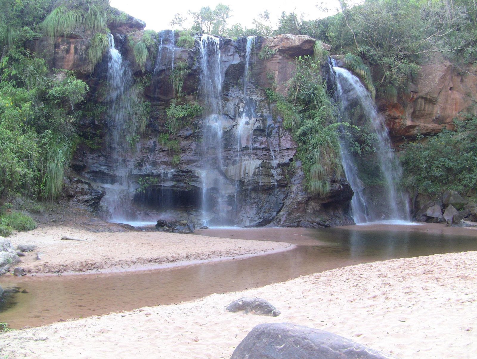
Las Cuevas waterfalls near Samaipata, on the edge of Amboró National Park
Las Cuevas waterfalls near Samaipata, on the edge of Amboró National Park.View on Google Maps