Travel South

Tiwanaku & Puma Punku

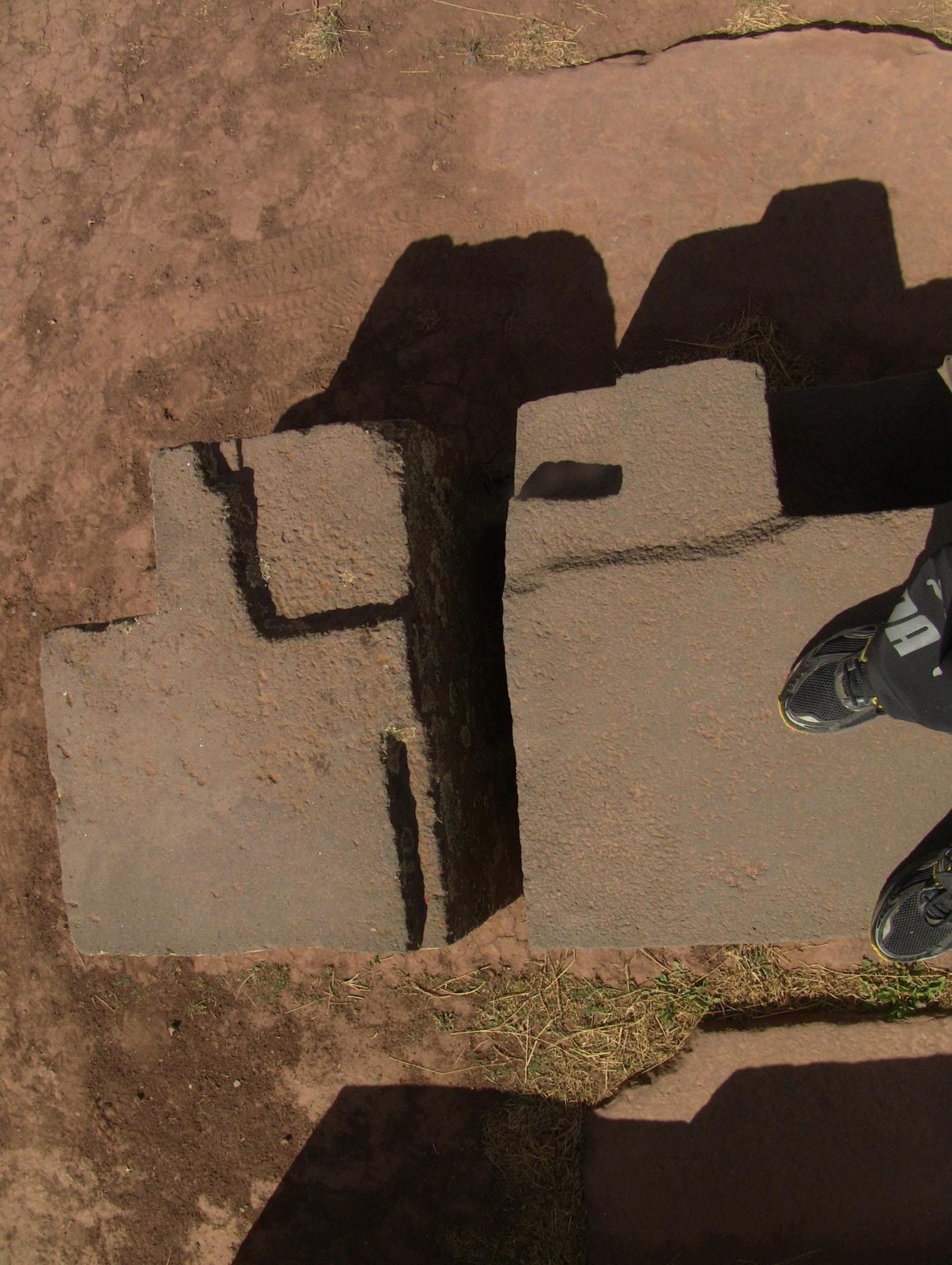
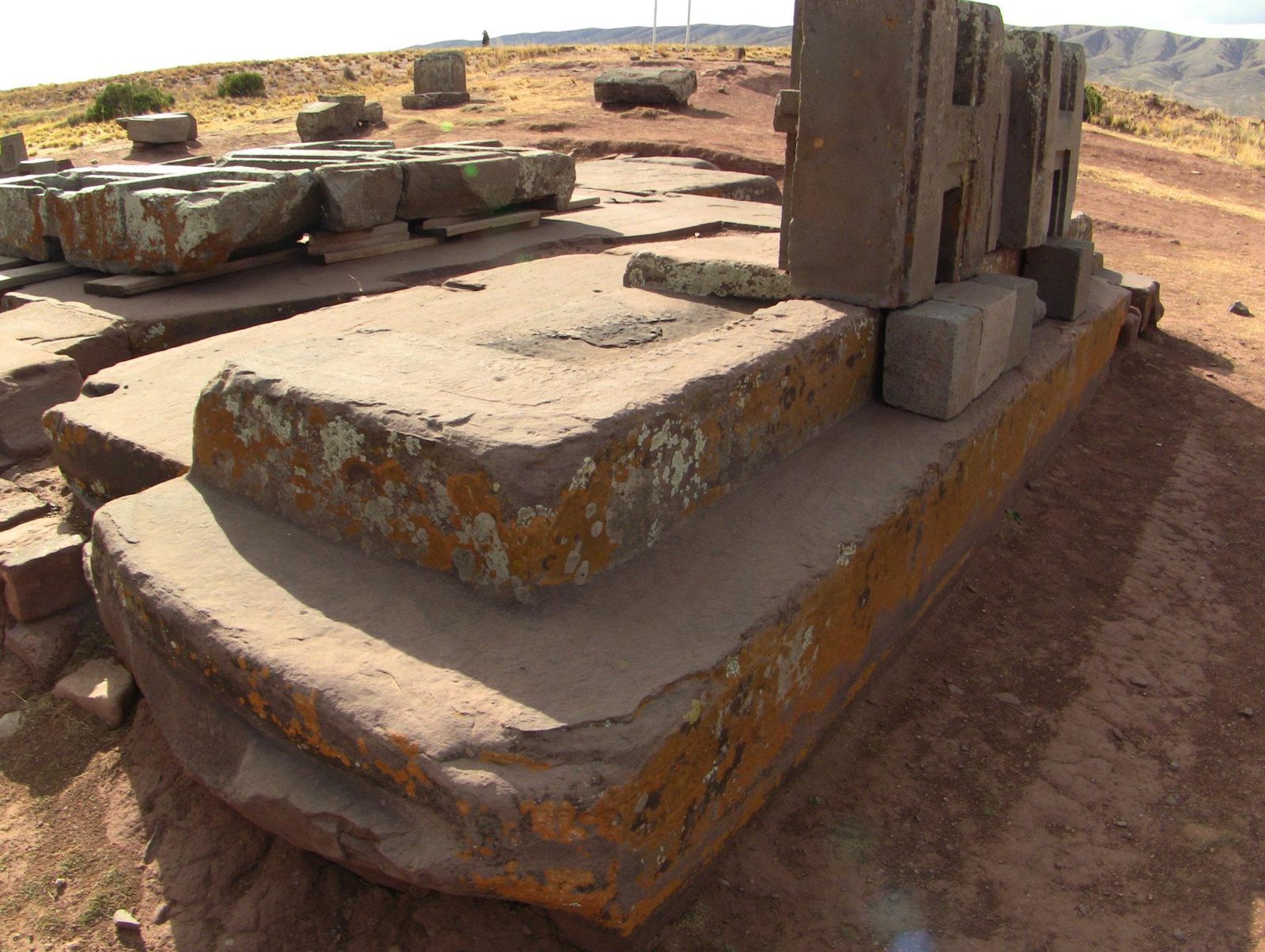
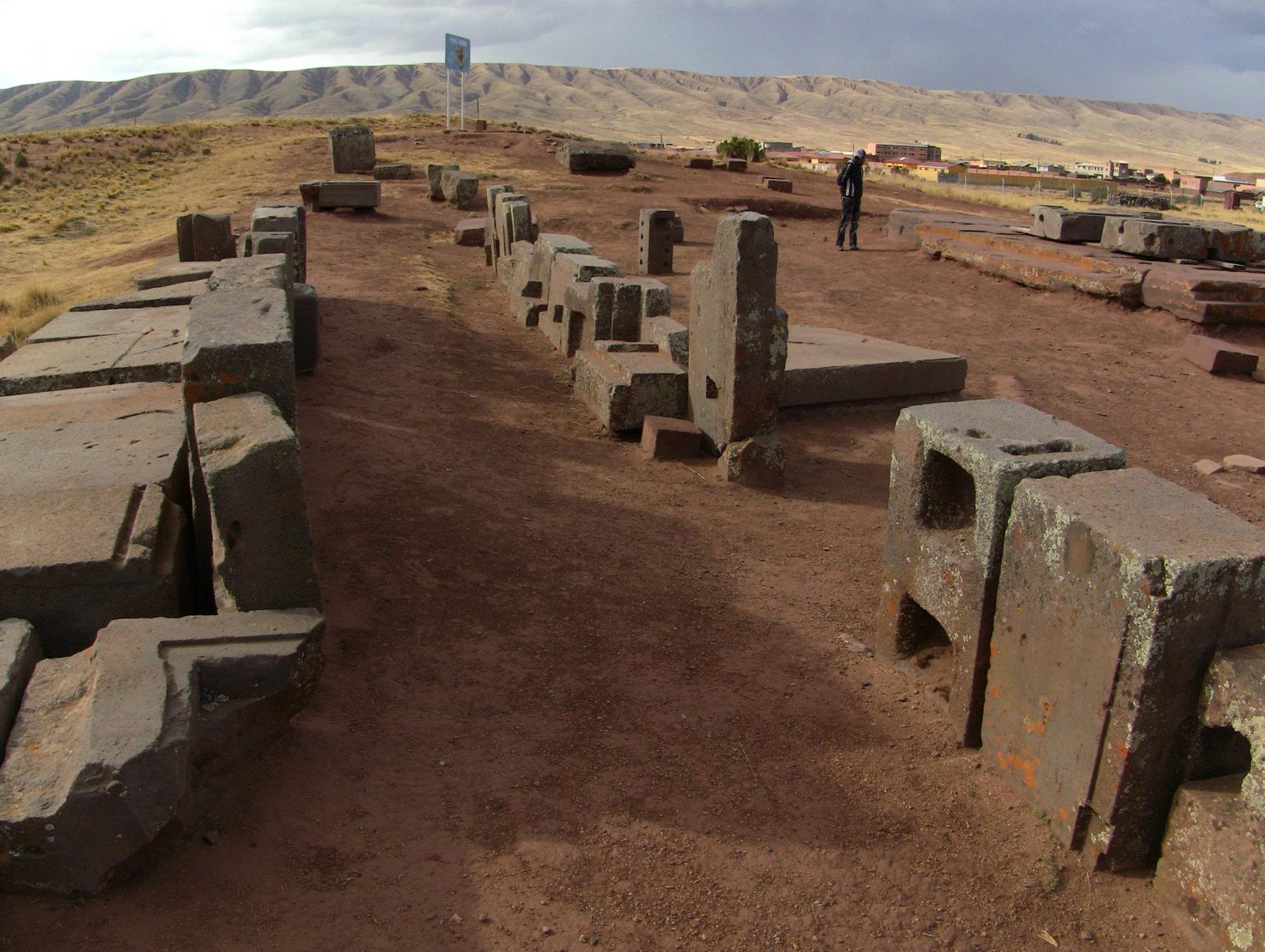
The same H-shaped block appears again and again at Puma Punku, cut with flat faces and sharp inner angles.

Near Lake Titicaca, Tiwanaku was the centre of an Andean civilisation founded around AD 180. According to a model of radiocarbon dates, Puma Punku was built around AD 580–710 (Marsh et al. 2023). Its andesite and sandstone blocks were precisely cut. A metal cramp poured into a joint in the south canal is an alloy of copper, arsenic and nickel (Lechtman 1996). The largest sandstone slab is 8.12 metres long (Vranich 2018).

Speculation: Arthur Posnansky dated Tiwanaku to about 15,000 BC, and some enthusiasts talk of lost technology. Radiocarbon samples from excavations place the building of Puma Punku in the 6th to 8th centuries AD. No excavation has found evidence of lost technology. In 2006 the site's platforms were levelled and blocks were moved, some into the wrong places (Vranich 2018).

How would you cut identical blocks with stone tools?

Site on the map: Tiwanaku · Pumapunku

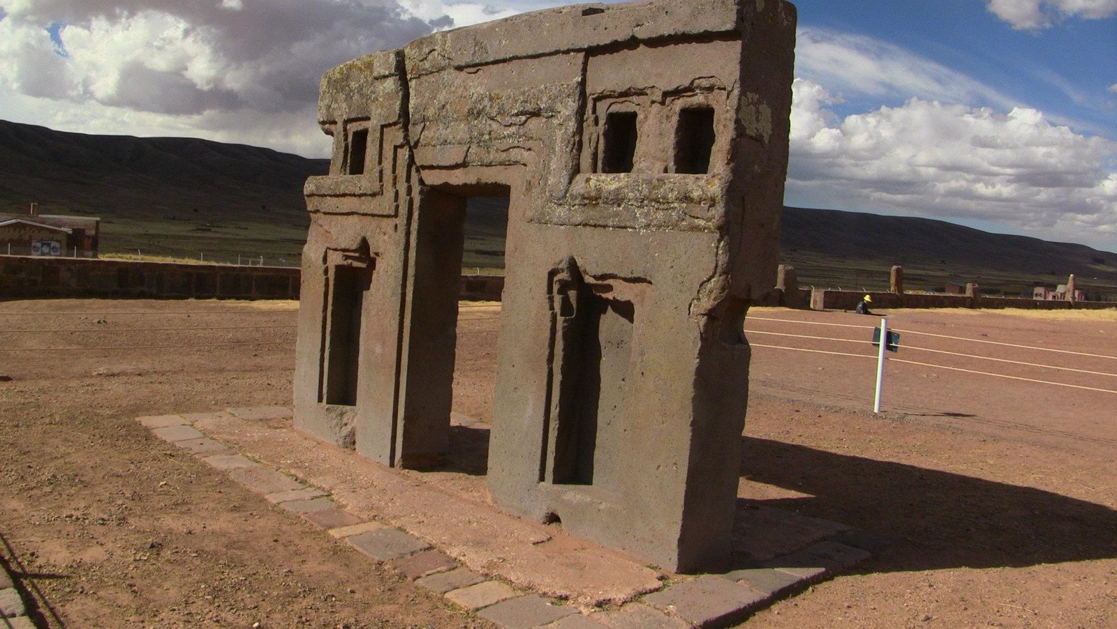
The Gate of the Sun, carved from a single block of andesite
The Gate of the Sun, carved from a single block of andesite: about 3 m tall and 4 m wide.Data: Stone: andesiteView on Google Maps
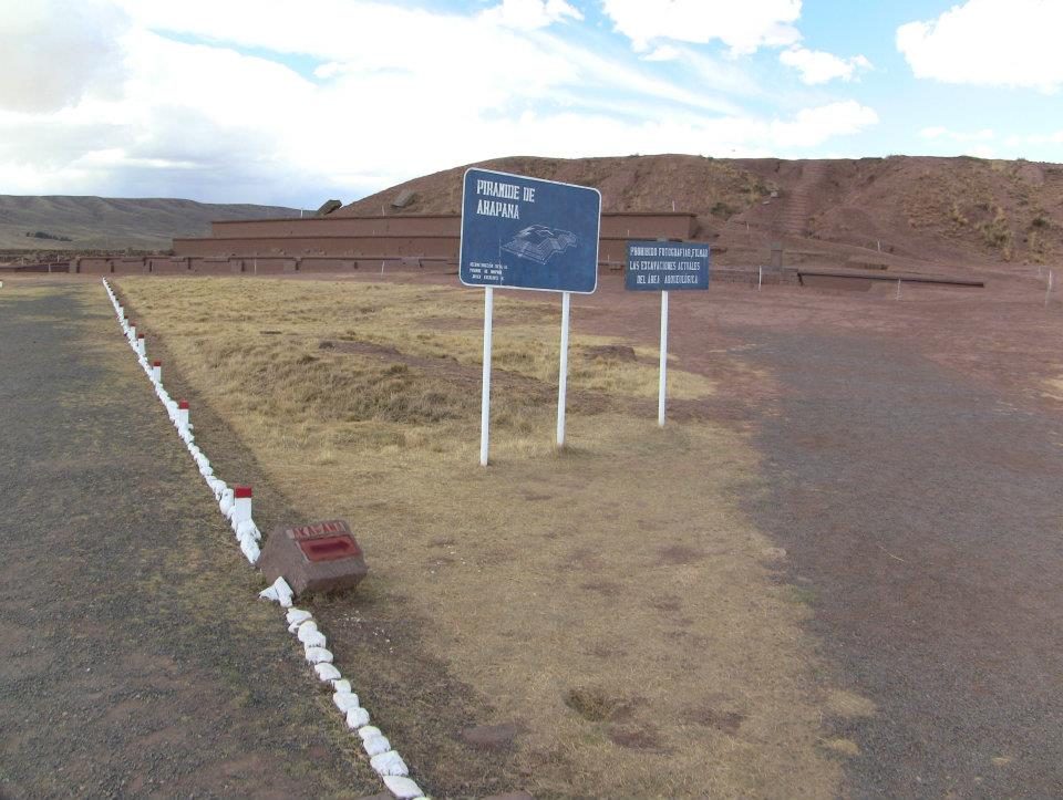
The Akapana pyramid
The Akapana pyramid: 257 by 197 m and 16.5 m tall, Tiwanaku's largest structure.Data: Size: 257 × 197 m · Height: 16.5 mView on Google Maps
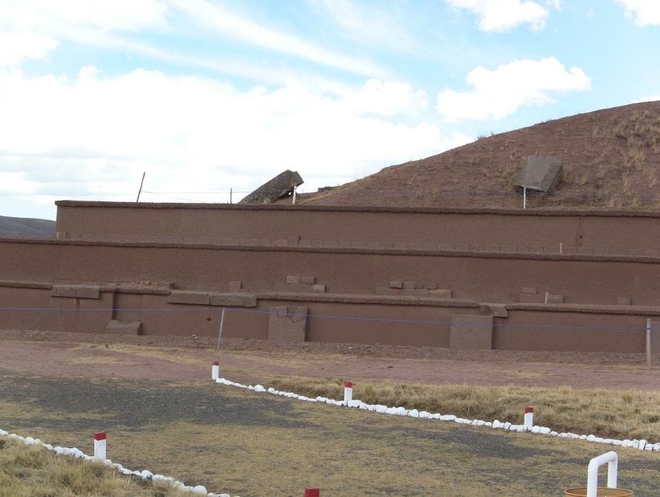
The Akapana
The Akapana. Much of its stone facing was later removed, leaving an earthen mound.View on Google Maps
The Semi-subterranean Temple, whose walls hold dozens of carved stone heads
The Semi-subterranean Temple, whose walls hold dozens of carved stone heads.View on Google Maps
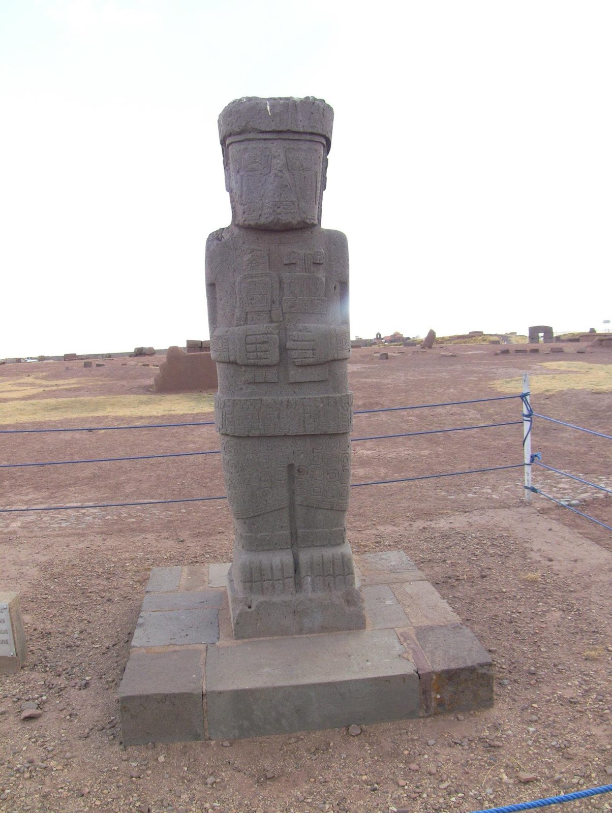
A carved statue
A carved statue. Tiwanaku monoliths such as the Ponce Monolith hold ritual objects in their hands.View on Google Maps
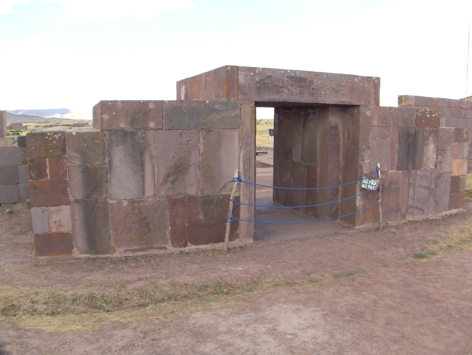
The Kalasasaya gateway and monolith
The Kalasasaya gateway and monolith. The walls were reconstructed from the late 1950s onwards.View on Google Maps
The Tiwanaku temple area, a UNESCO site since 2000
The Tiwanaku temple area, a UNESCO site since 2000.View on Google Maps
An H-block
An H-block. One study measured repeating blocks of about 97 × 99 × 55 cm.Data: Stone: andesiteView on Google Maps
A precisely cut andesite block
A precisely cut andesite block; andesite came from quarries across Lake Titicaca.View on Google Maps
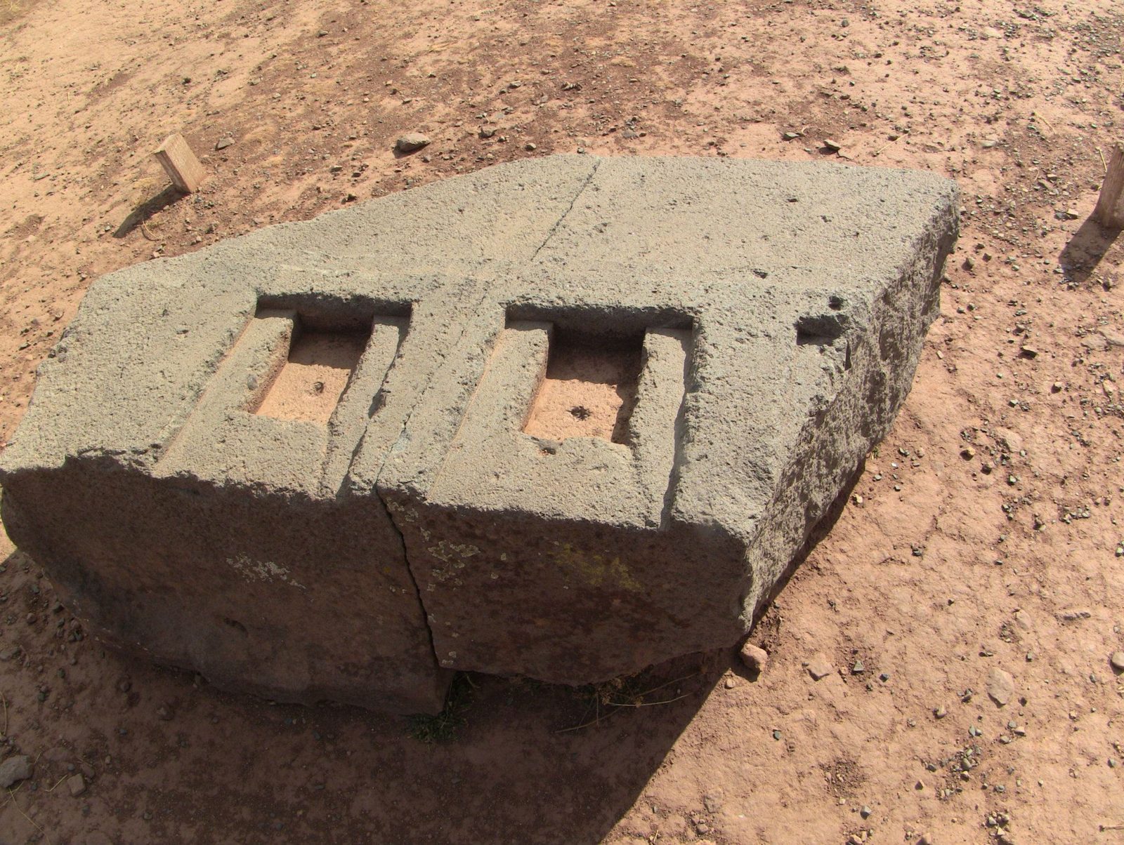
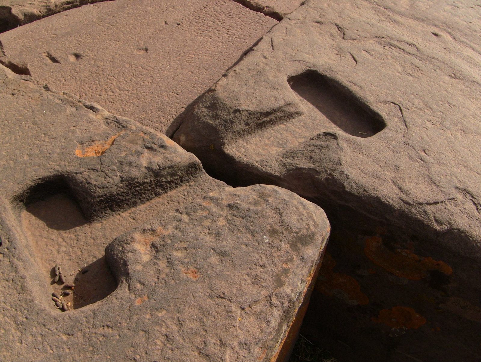
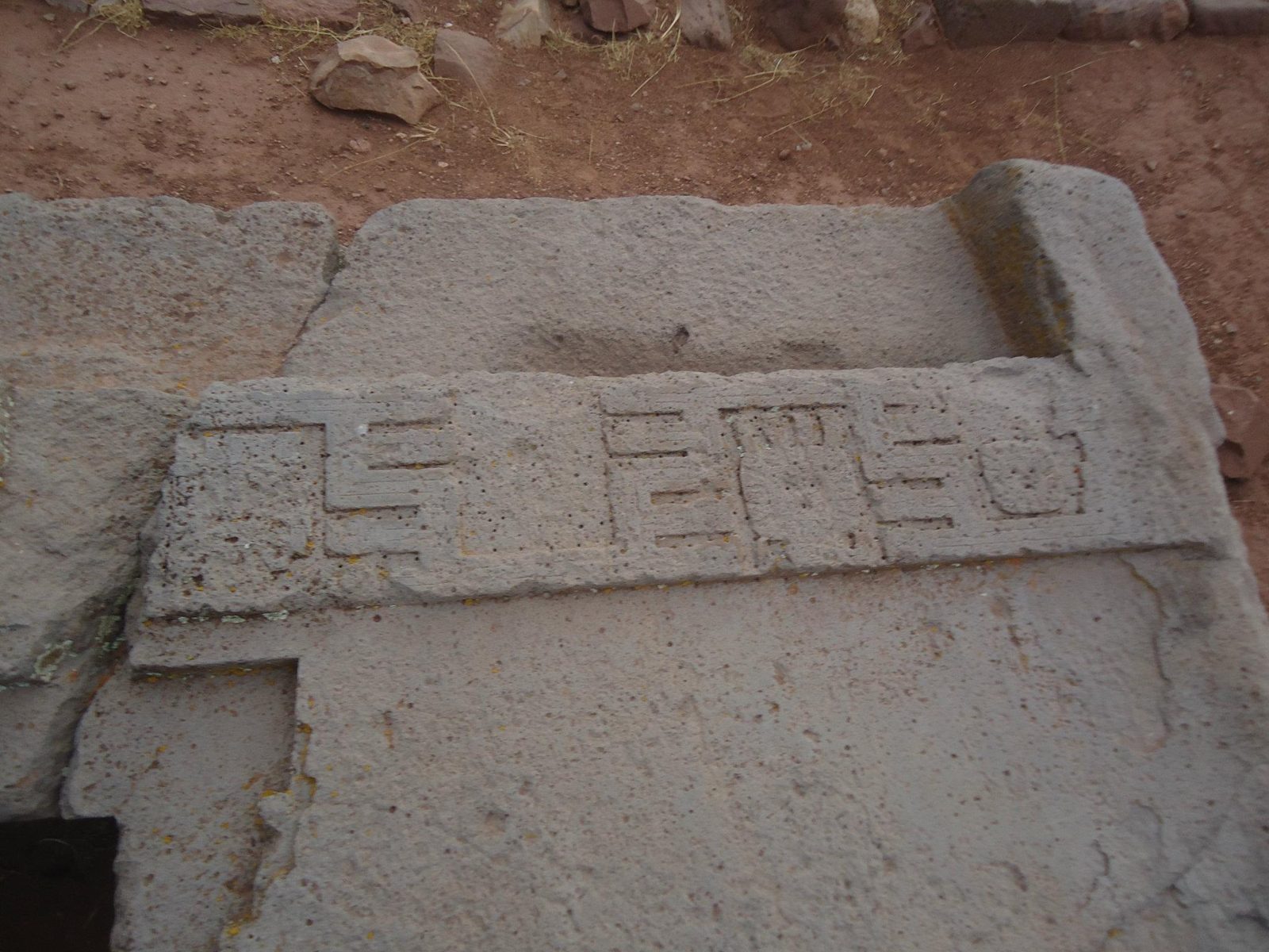
Recesses cut to join blocks
Recesses cut to join blocks; I-shaped sockets held cramps of copper-arsenic-nickel bronze.View on Google Maps
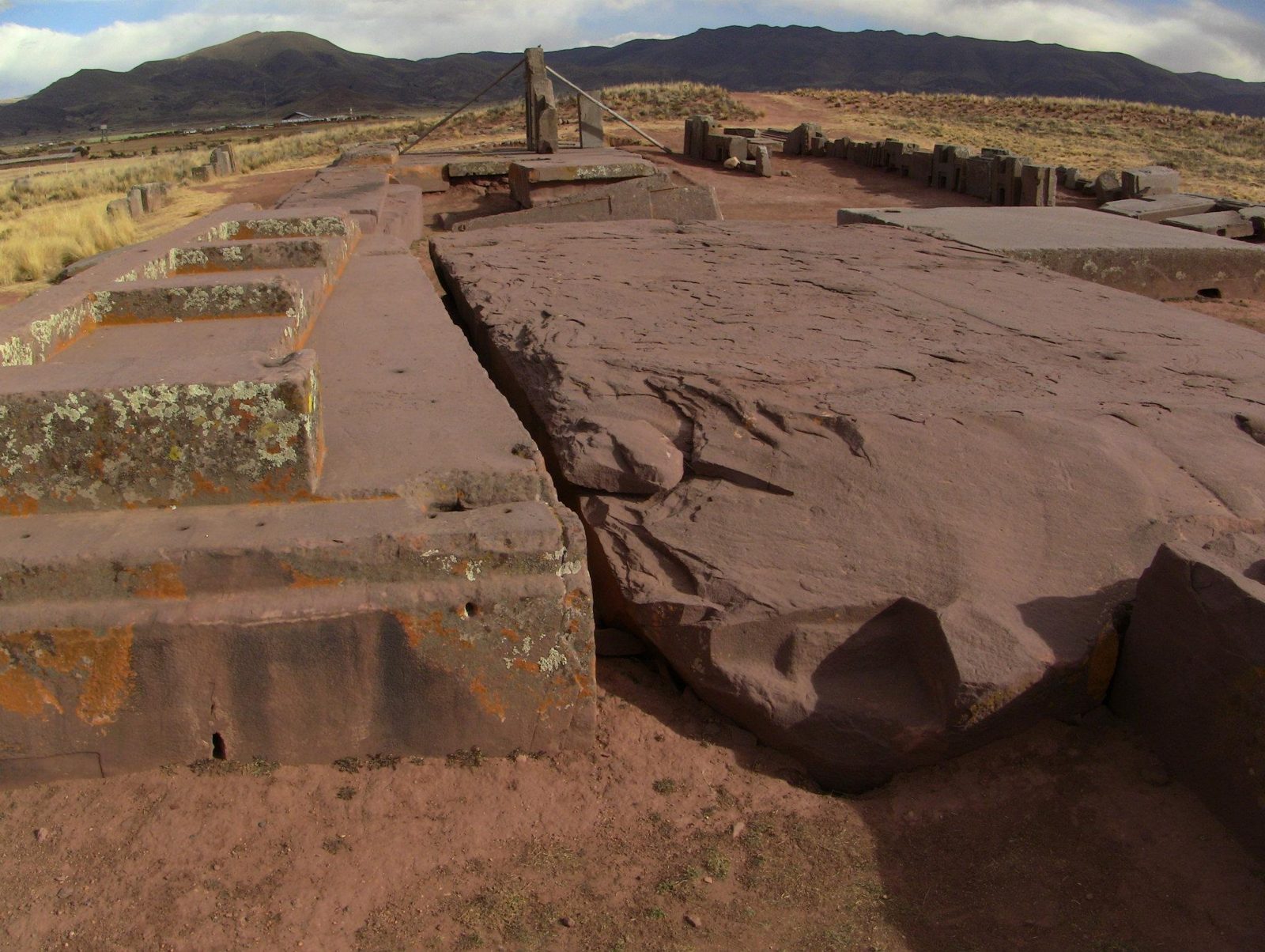
The great platform slabs of red sandstone, from a quarry roughly 10 km away
The great platform slabs of red sandstone, from a quarry roughly 10 km away.View on Google Maps
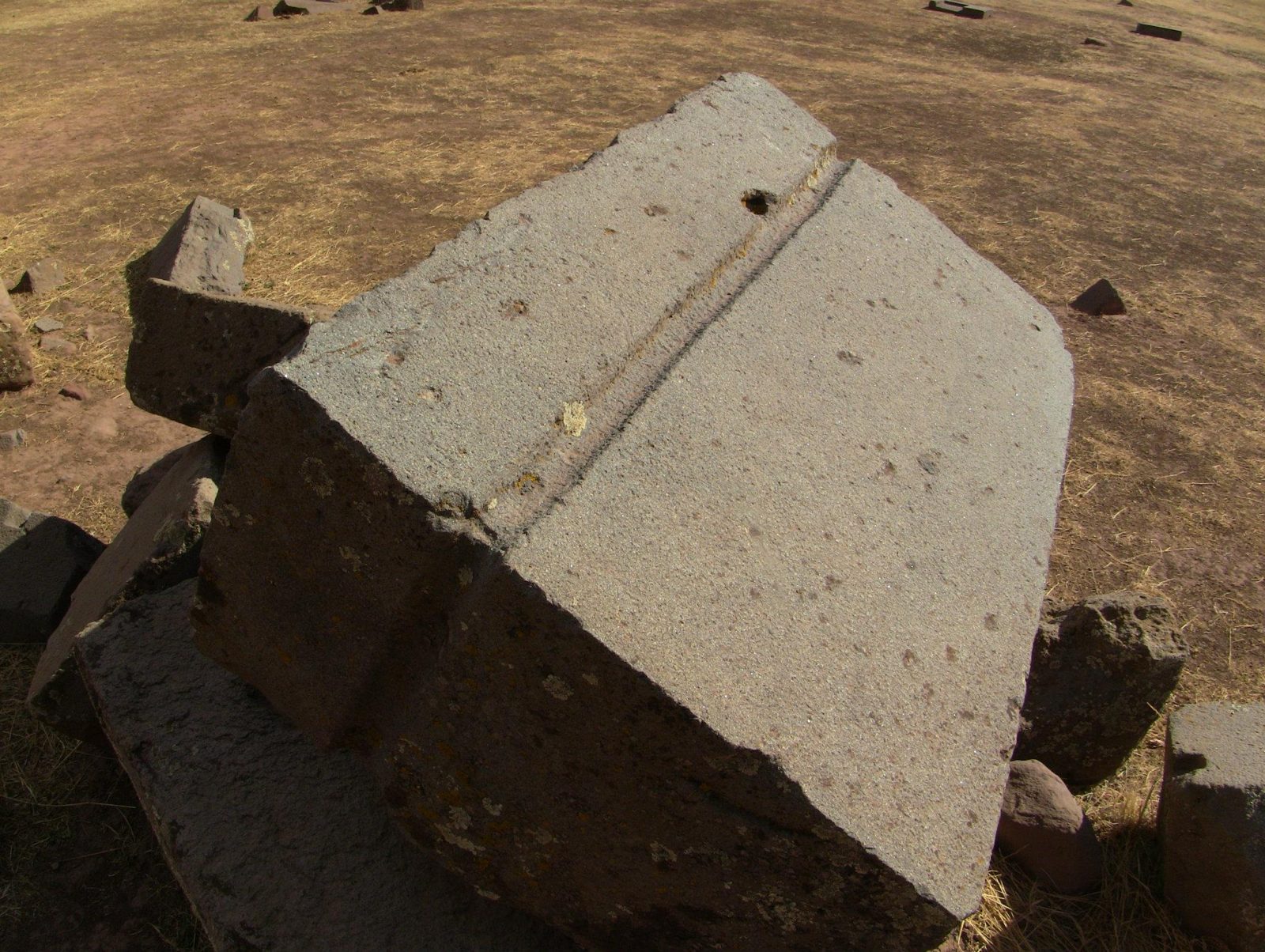
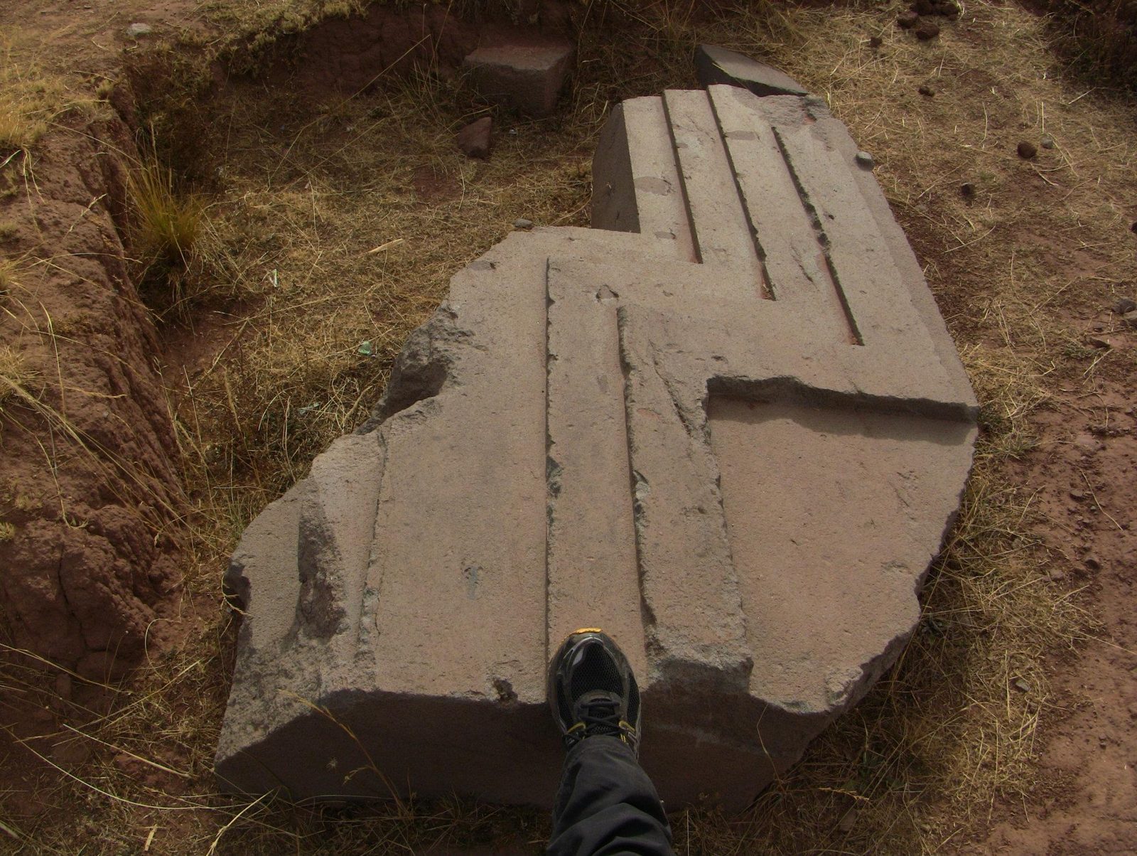
A slab with a carved channel, possibly for water drainage
A slab with a carved channel, possibly for water drainage.View on Google Maps
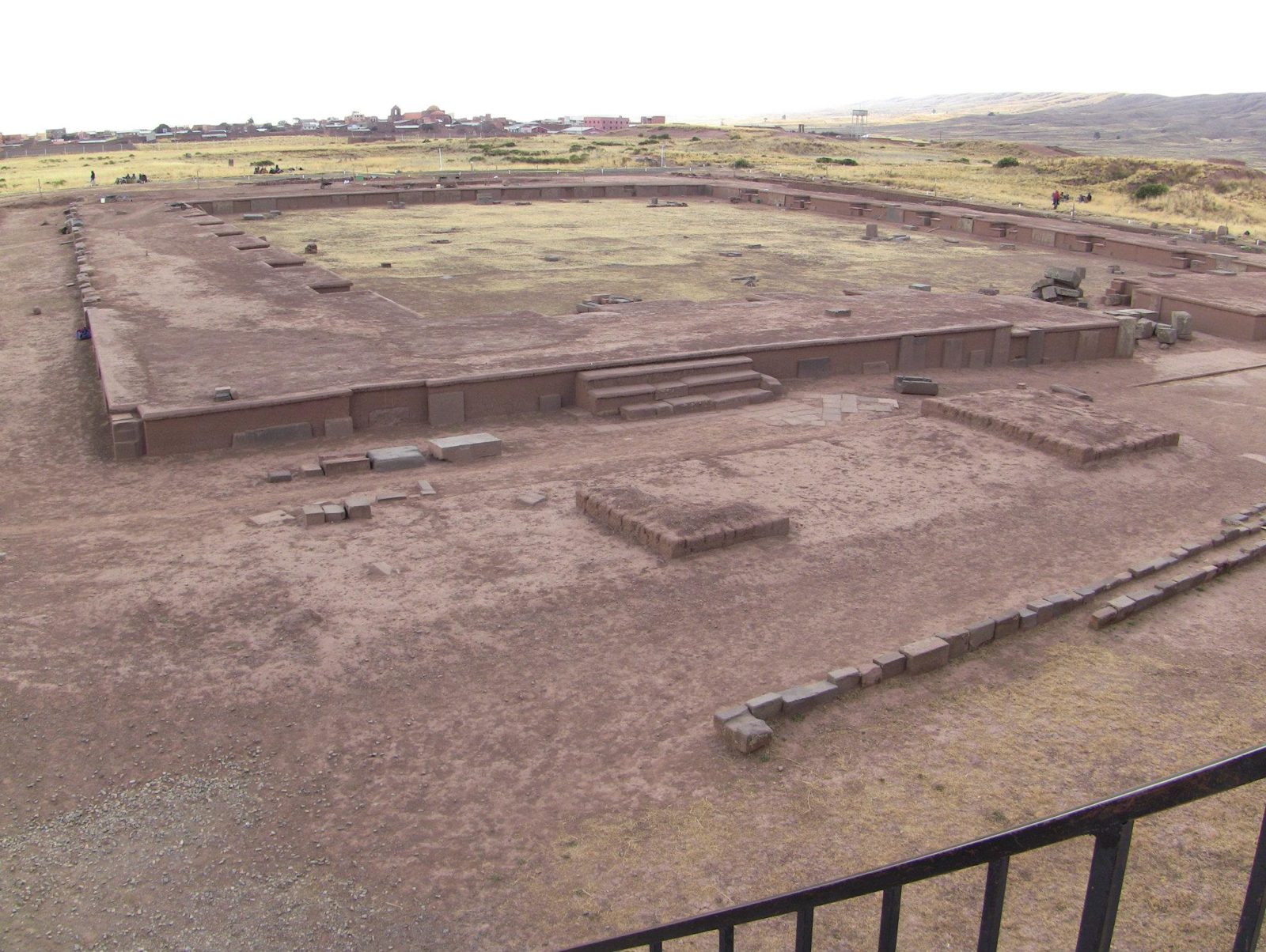
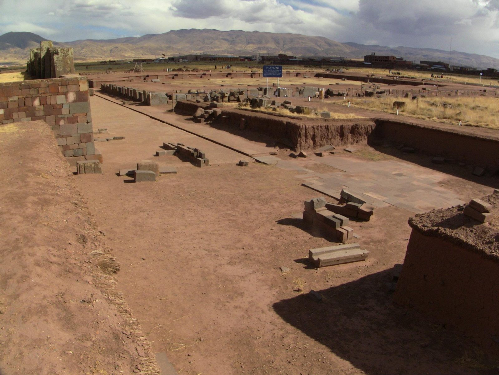
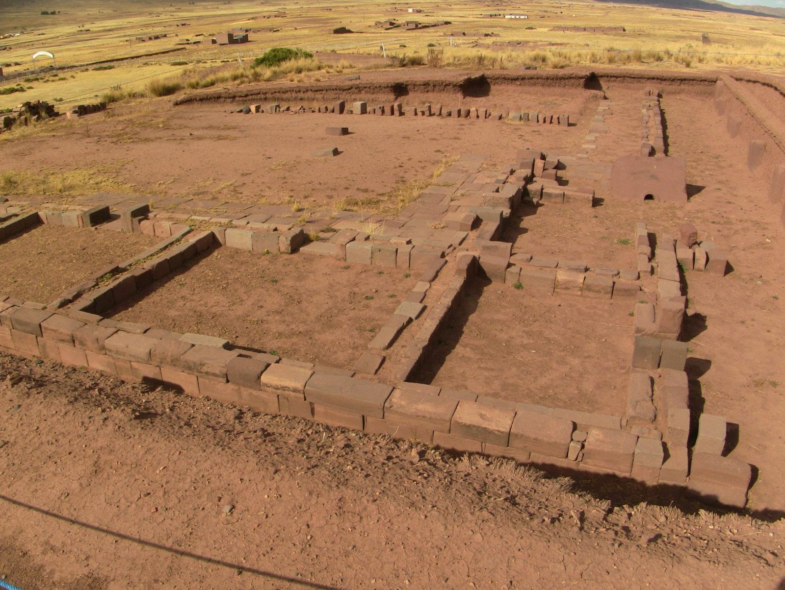
Stacked blocks on the Pumapunku platform (about 3,850 m)
Stacked blocks on the Pumapunku platform (about 3,850 m). The mound had three levels of stone retaining walls, and the platform once carried as many as eight andesite gateways.View on Google Maps
Small recesses and slots
Small recesses and slots: bronze cramps were used in some joints.View on Google Maps
A giant sandstone slab
A giant sandstone slab. The largest published lengths are about 8 m (7.81 m and 8.12 m); this photograph has not been identified as the very largest slab.Data: Stone: red sandstone · Built: about AD 580–710View on Google Maps
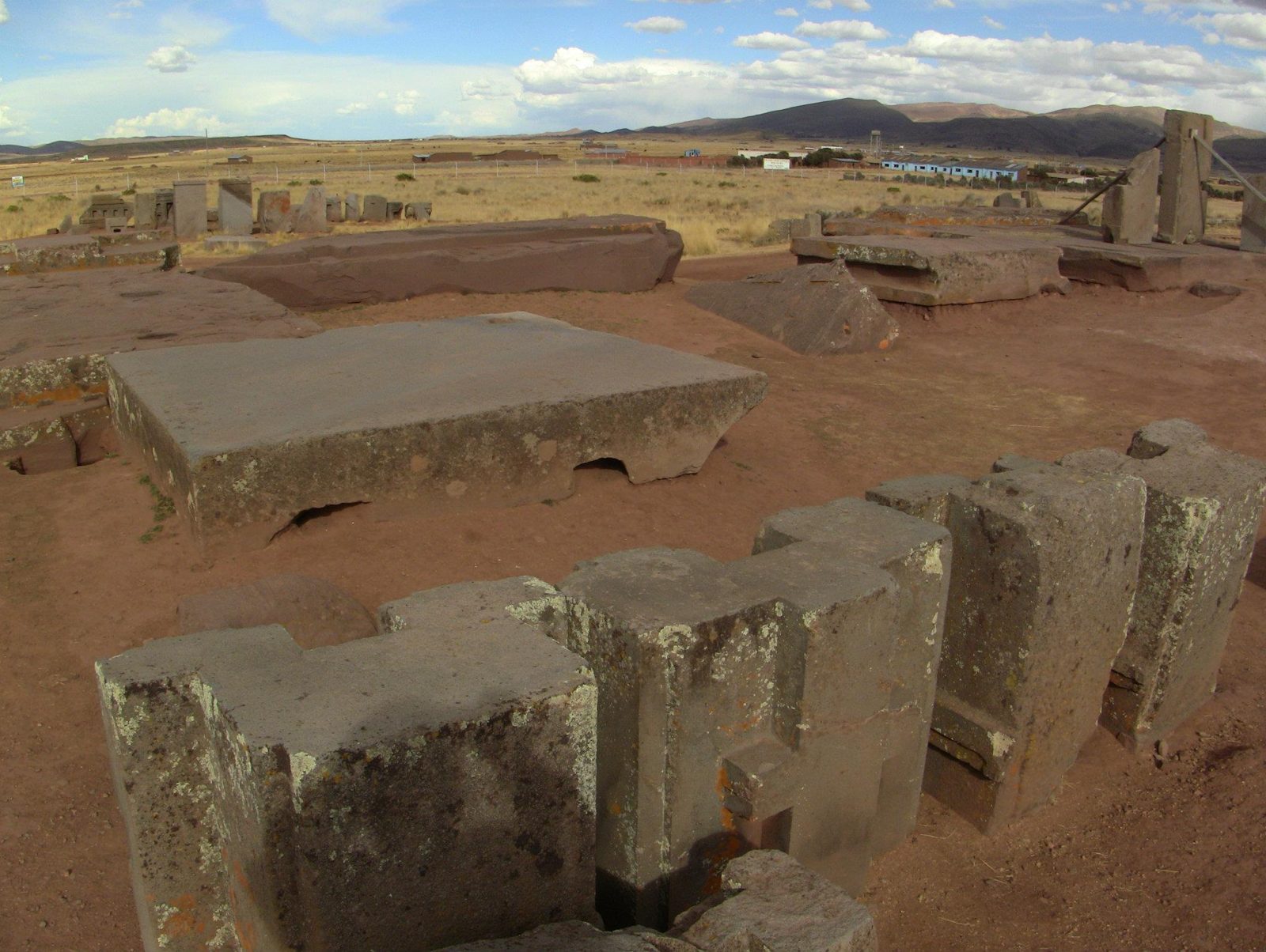
Pumapunku blocks
Pumapunku blocks: red sandstone from a quarry about 10 km away, andesite from the Copacabana Peninsula some 90 km away across Lake Titicaca. Radiocarbon dates place the stonework after about AD 536–600.View on Google Maps
Scattered blocks, moved by looting, colonial stone robbing and probably earthquakes
Scattered blocks, moved by looting, colonial stone robbing and probably earthquakes.View on Google Maps
A block with a cross-shaped cut
A block with a cross-shaped cut. Open question: how exactly were such inner angles finished with stone tools?View on Google Maps
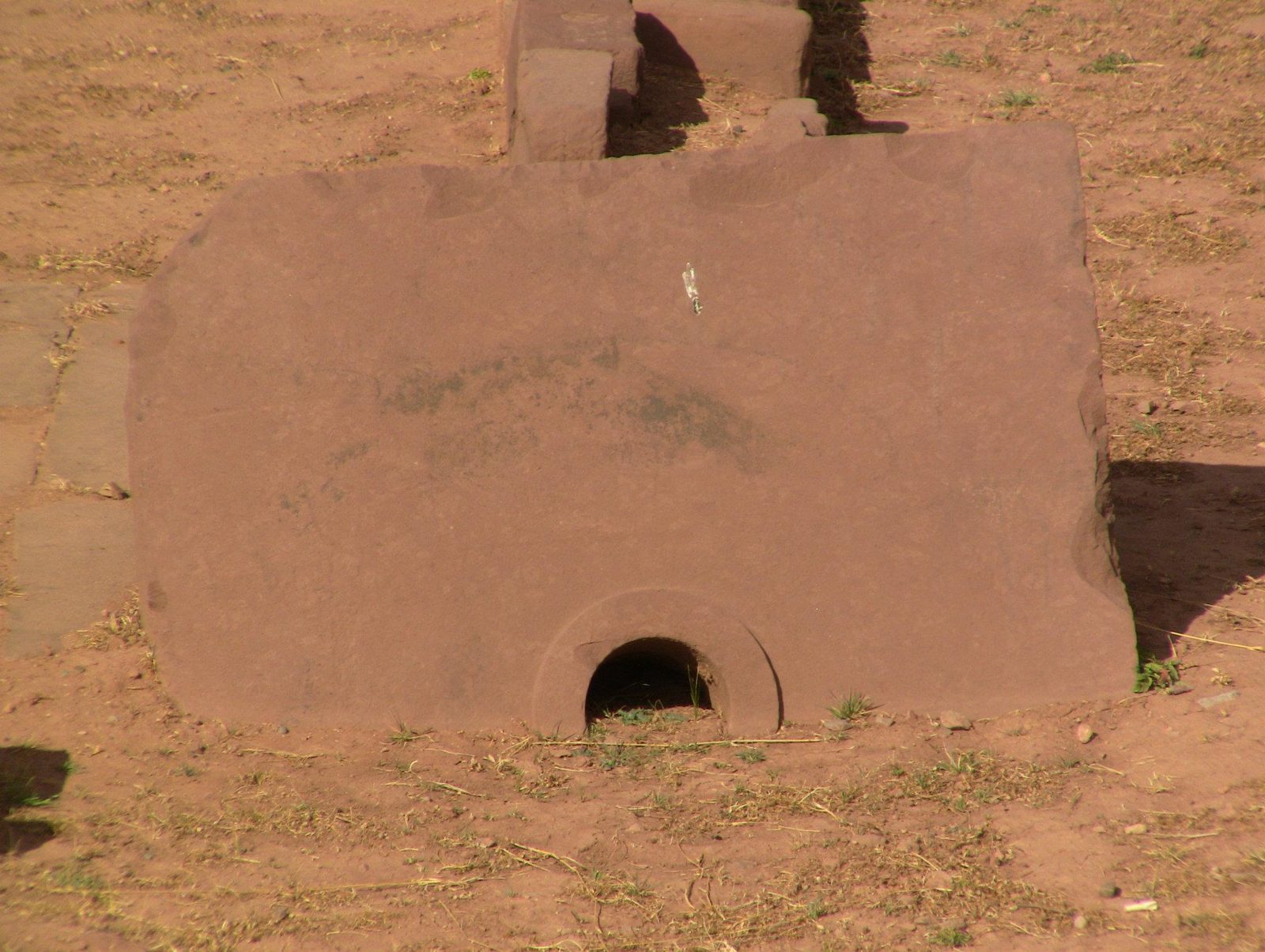
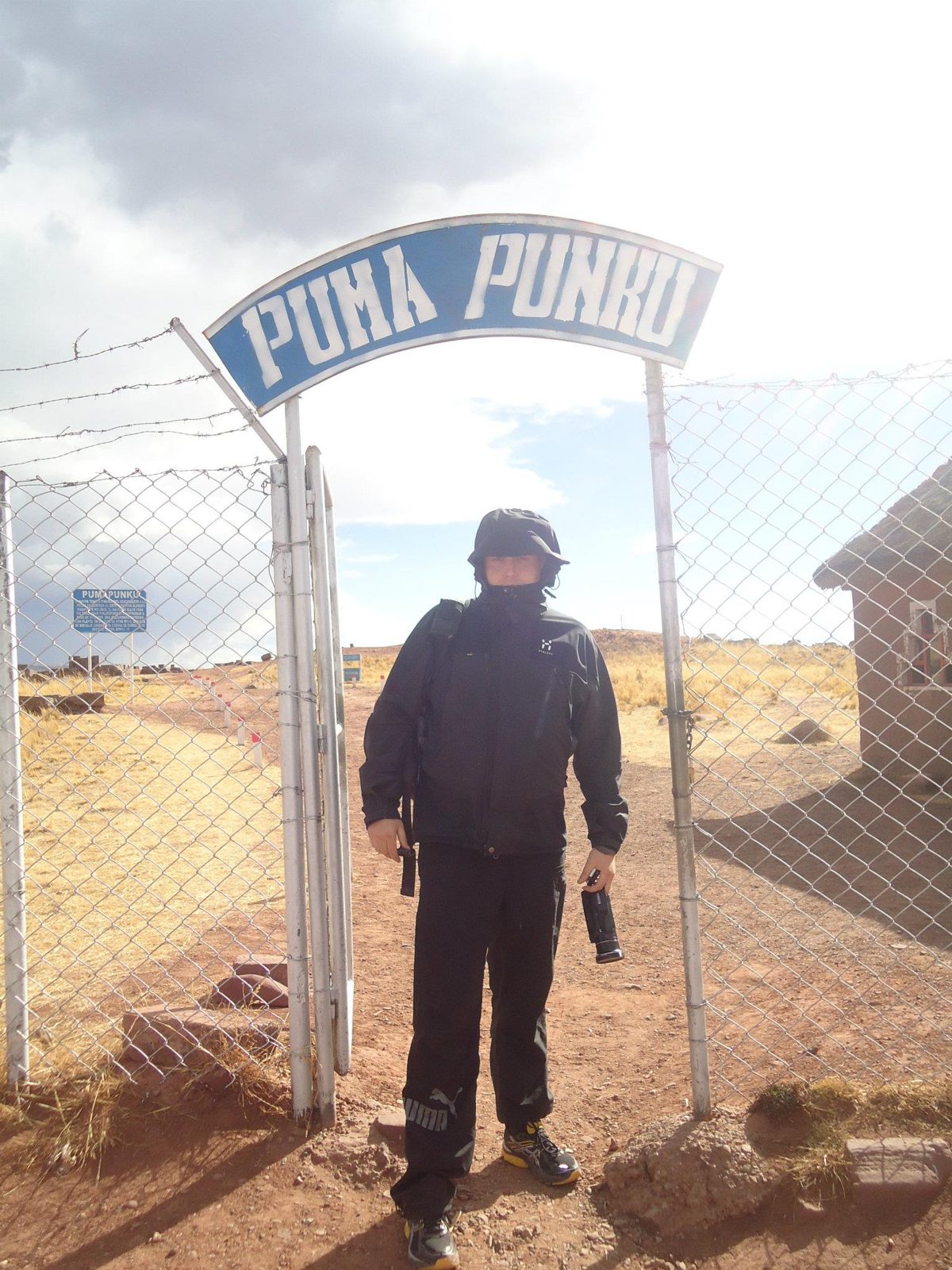
The Puma Punku entrance
The Puma Punku entrance. The name is usually translated as "Gate of the Puma".View on Google Maps
Repeated H-forms suggest the masons worked to templates
Repeated H-forms suggest the masons worked to templates.View on Google Maps