Travel South

Nazca Lines

How do you draw a hummingbird bigger than a football pitch without ever seeing it from above?

The Nazca Lines were scraped into the desert of southern Peru, mostly by the Nazca culture between about 500 BC and AD 500, by moving the reddish surface stones aside to expose lighter ground beneath. Researchers link them to ritual walking and water ceremonies, and in 2024 an AI-assisted survey led by Yamagata University reported 303 new figurative geoglyphs.

But... why so many, and why here? Researchers estimate the figures served ritual purposes tied to water and fertility; Maria Reiche argued for an astronomical calendar, and some enthusiasts still ask whether the long straight lines had a meaning we have not grasped. The landing-strip idea for visitors from space is rejected by archaeologists.

What would you have walked these lines for?

Site on the map: Nazca Lines (pampa)

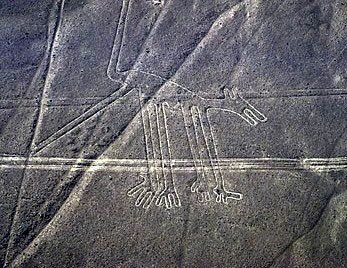
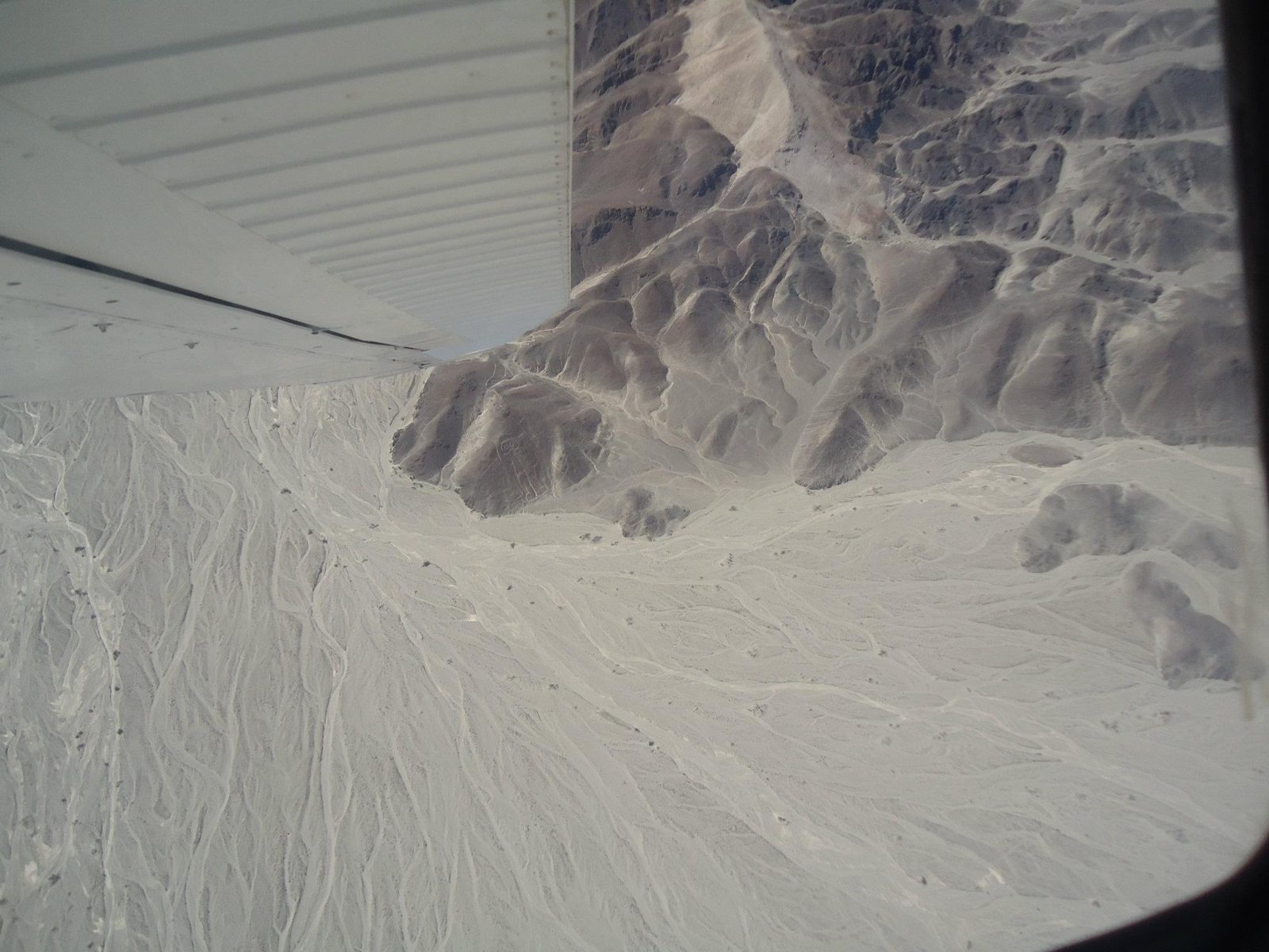
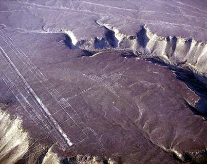
A geoglyph from the air
A geoglyph from the air: the figures were drawn by moving reddish, iron-oxide-coated stones aside to expose paler ground.Data: Culture: Nazca · Dated: about 500 BC–AD 500 · UNESCO: 1994View on Google Maps
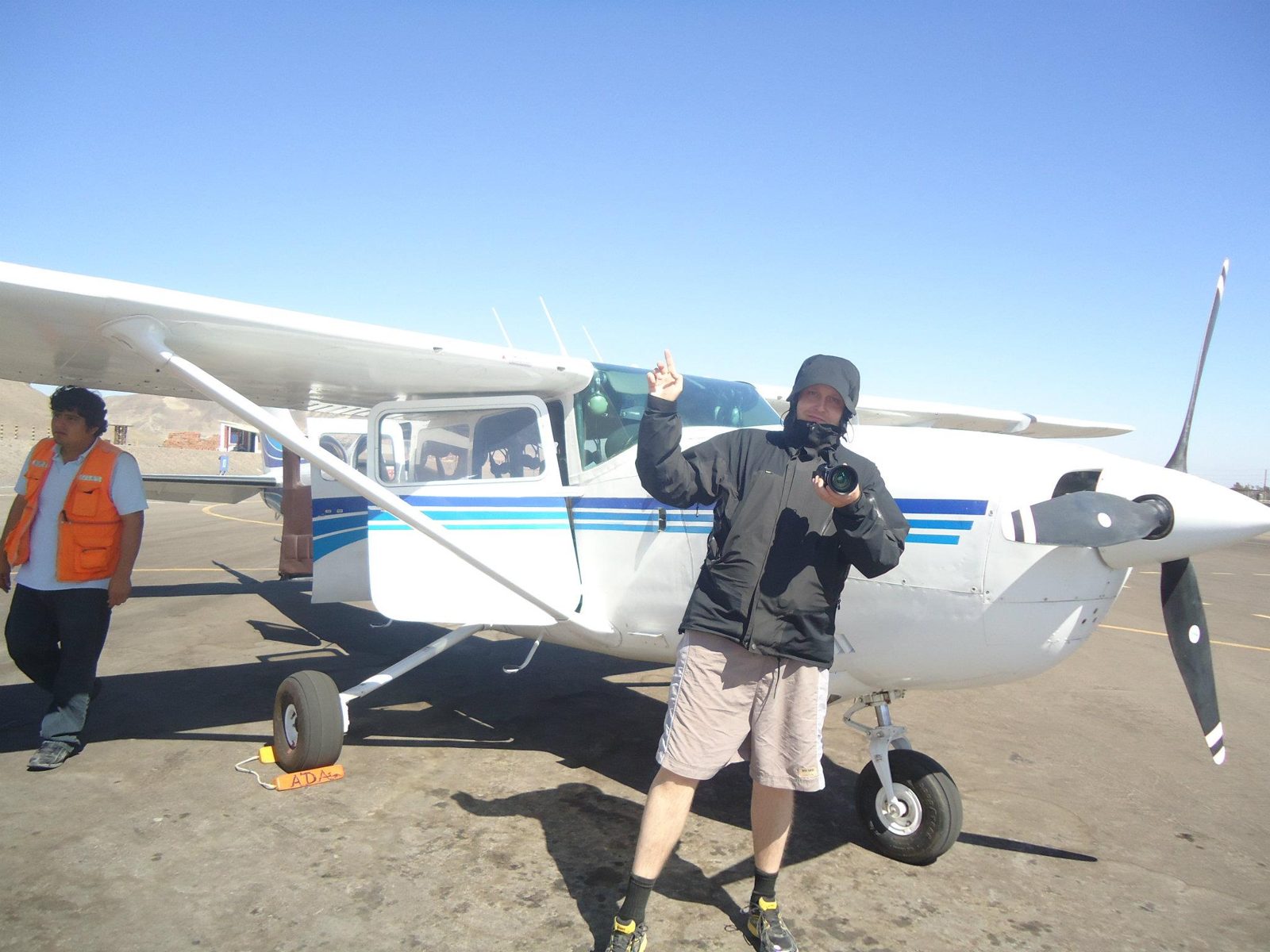
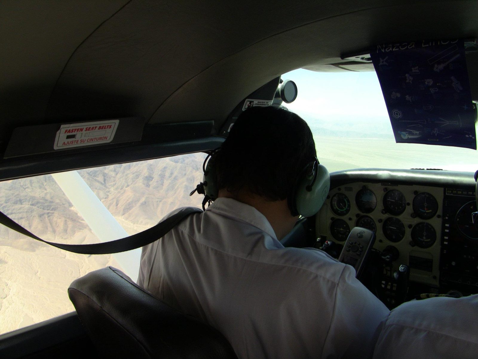
Boarding for the overflight
Boarding for the overflight. Many figures are too big to read from the ground; the hummingbird is about 93 m long.View on Google Maps
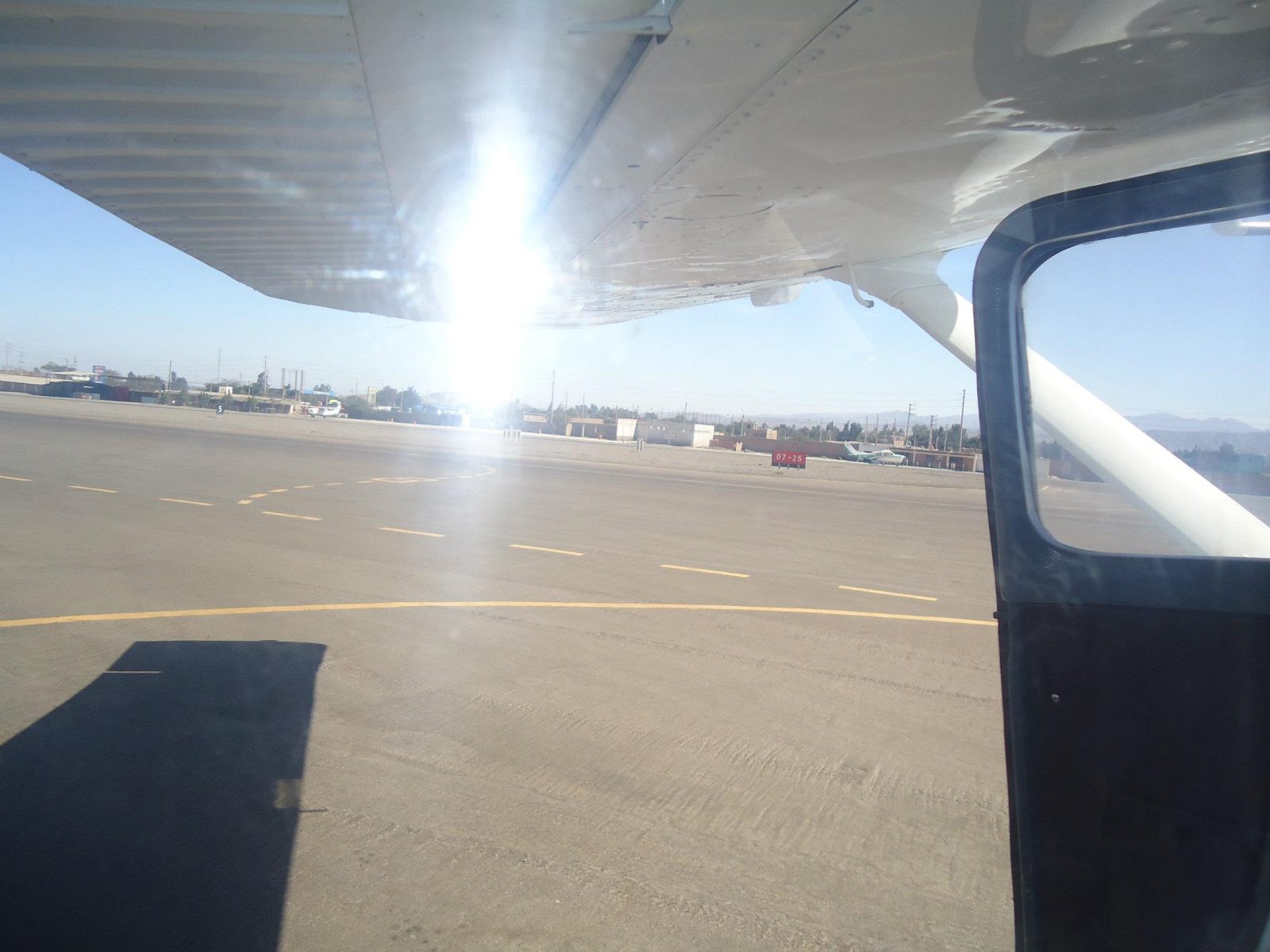
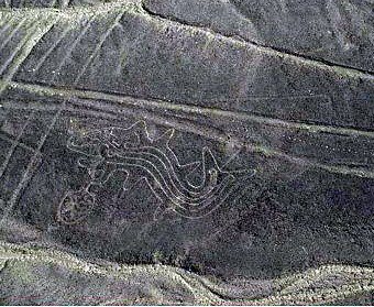
Take-off from Nazca
Take-off from Nazca. The Pan-American Highway, built before the lines were protected, cuts straight through the lizard figure.View on Google Maps
Most lines are only 10–15 cm deep
Most lines are only 10–15 cm deep; the dry, nearly windless pampa has preserved them for some 2,000 years.View on Google Maps
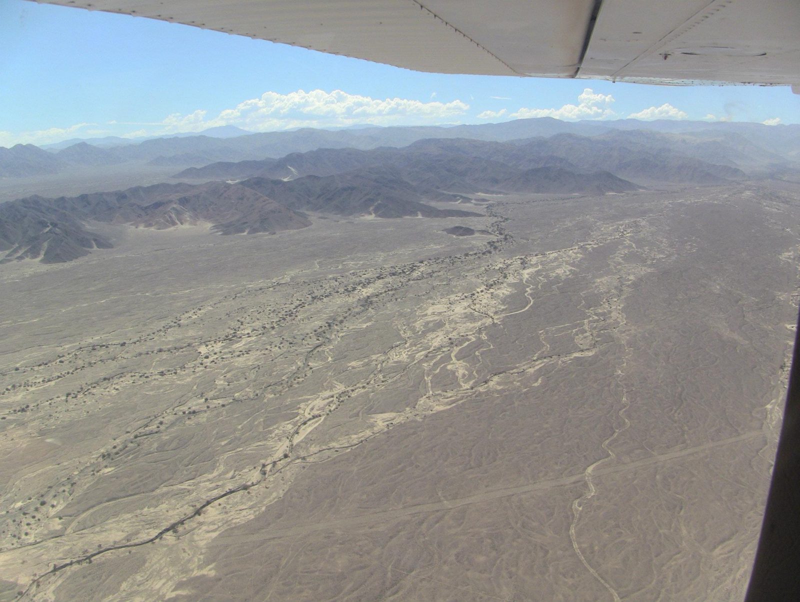
Lines run straight across the pampa and over hills, some for several kilometres, barely changing direction
Lines run straight across the pampa and over hills, some for several kilometres, barely changing direction.View on Google Maps
In 1982 Joe Nickell's small team copied a 134 m condor in a couple of days with stakes and string,
In 1982 Joe Nickell's small team copied a 134 m condor in a couple of days with stakes and string, without any aerial view.View on Google Maps
Researchers count over 800 straight lines, about 300 geometric figures and some 70 animal and plant figures
Researchers count over 800 straight lines, about 300 geometric figures and some 70 animal and plant figures.Data: Lines / geometric / figures: 800+ / 300 / ~70View on Google Maps
Straight lines on the plain
Straight lines on the plain. In 2024 an AI-assisted survey led by Yamagata University reported 303 new figurative geoglyphs.View on Google Maps
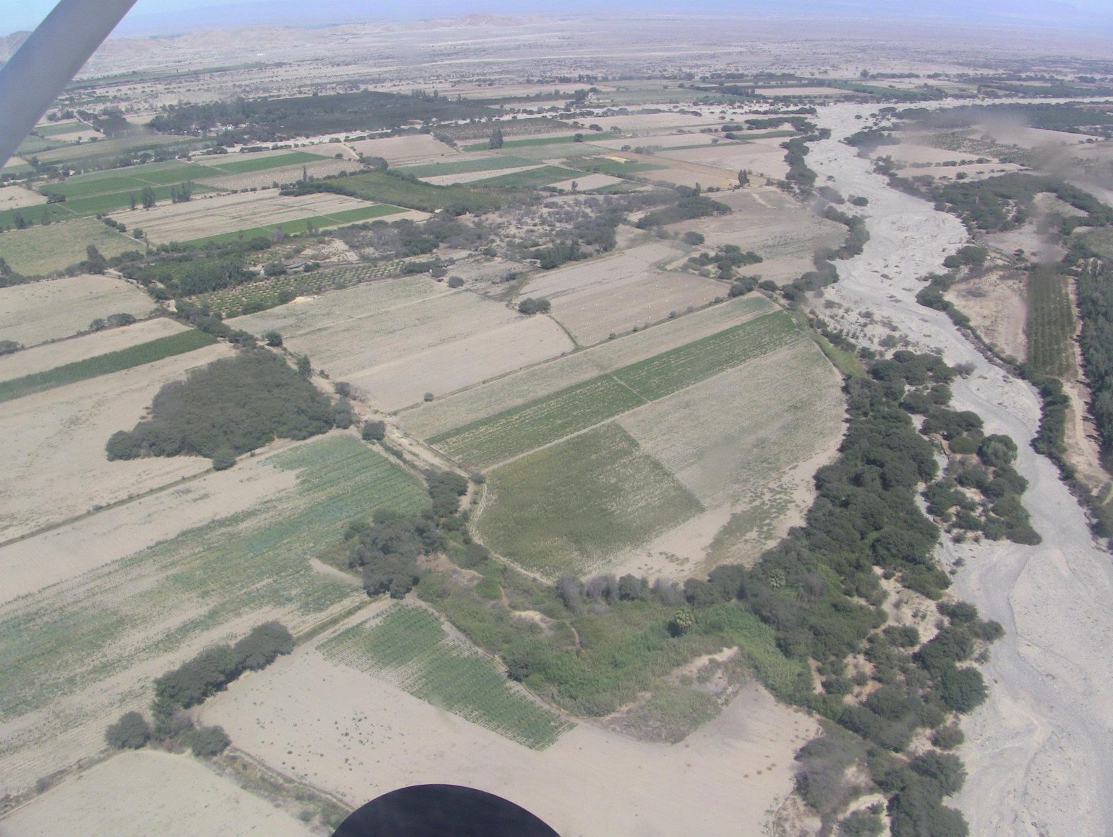
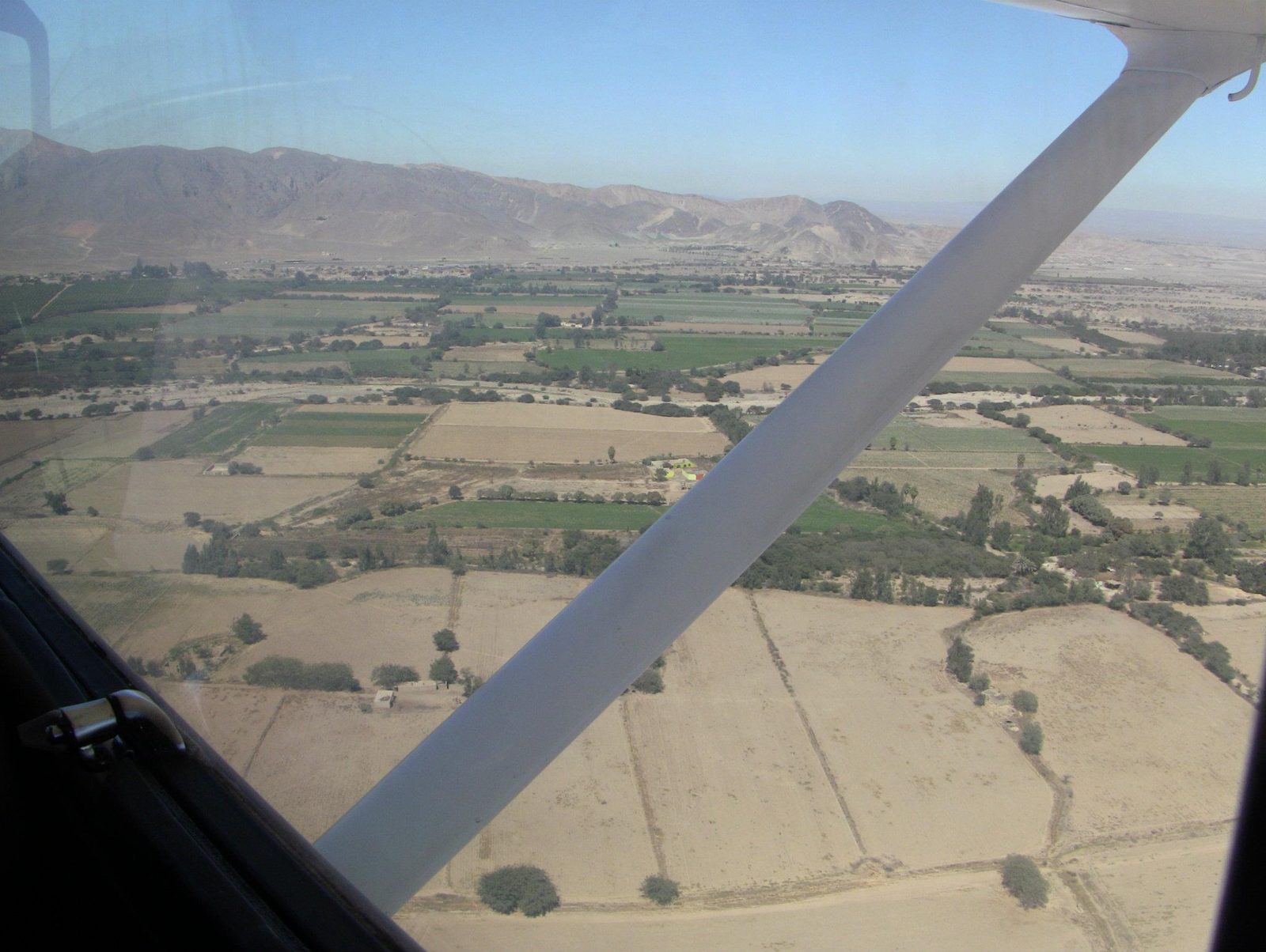
The green valley beside the bare pampa
The green valley beside the bare pampa. Many researchers link the lines to water rituals; some lines appear to point toward water sources.View on Google Maps
Irrigated fields near Nazca
Irrigated fields near Nazca. Underground puquio aqueducts, like those at Cantalloc, still bring water to farms here.View on Google Maps
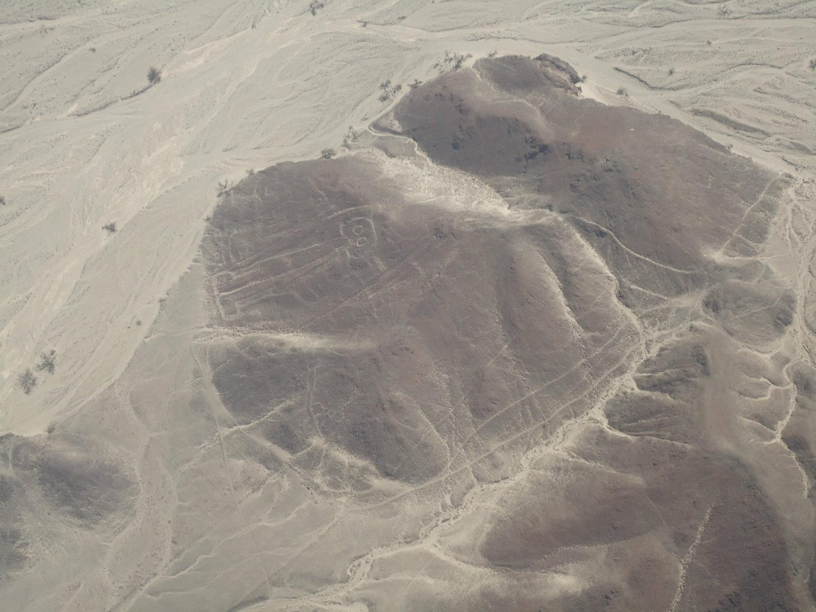
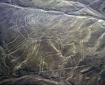
A figure on the pampa
A figure on the pampa. Maria Reiche mapped and defended the lines for decades from the 1940s until her death in 1998.View on Google Maps
Lines crossing a figure
Lines crossing a figure. Overlaps like this suggest the geoglyphs were made over many centuries, not in one plan.View on Google Maps
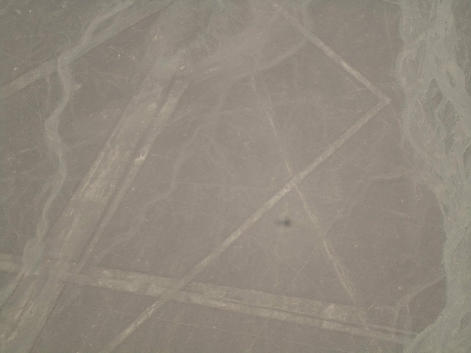
Trapezoids and long lines on the hills
Trapezoids and long lines on the hills. Open question: some researchers read the trapezoids as ritual gathering spaces.View on Google Maps