Travel South

Paracas & Huacachina

On the Paracas peninsula the desert ends straight in a cold sea full of life.

The peninsula gives its name to the Paracas culture, known for its fine textiles. Julio C. Tello excavated the Wari Kayan cemetery on the north slope of Cerro Colorado in 1927–28 (arqueologia-paracas.net). Of 159 people studied from the Paracas Cavernas tombs at Cerro Colorado, 98 per cent had a skull shaped in childhood (Gómez-Mejía et al. 2022). Inland, the Huacachina oasis is ringed by large dunes.

Peer-reviewed DNA research has been published. Fehren-Schmitz et al. studied the remains of 218 people and found strong continuity between the Paracas and Nasca populations (Fehren-Schmitz et al. 2010). Claims of an unknown lineage have not been published in peer-reviewed research.

Which would you see first: the birds of the Ballestas Islands or the dunes of Huacachina?

Site on the map: Paracas National Reserve · Islas Ballestas · Huacachina

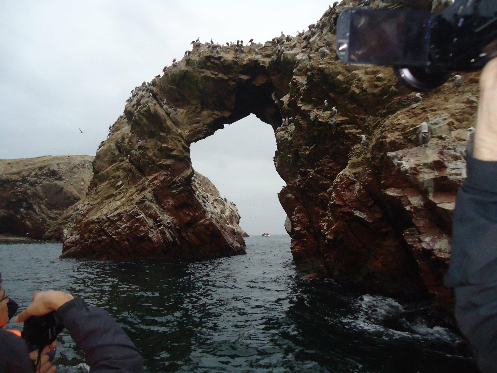
A sea arch on the Ballestas tour
A sea arch on the Ballestas tour. In the 19th century guano from islands like these was one of Peru's main exports.Data: Protected: 1975 (national reserve)View on Google Maps
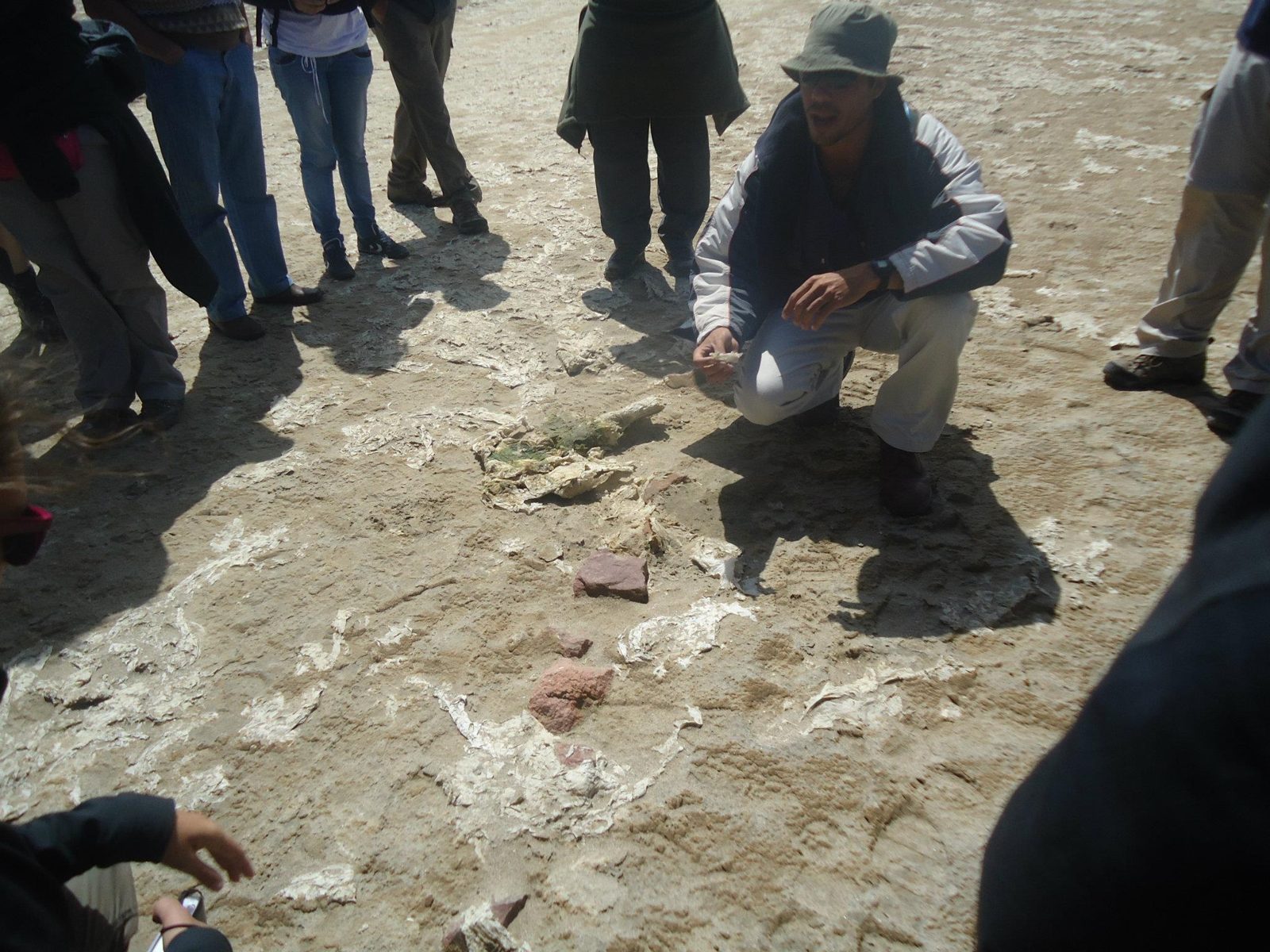
Waiting for the Ballestas boat
Waiting for the Ballestas boat. The islands belong to the Guano Islands, Islets and Capes reserve system.View on Google Maps
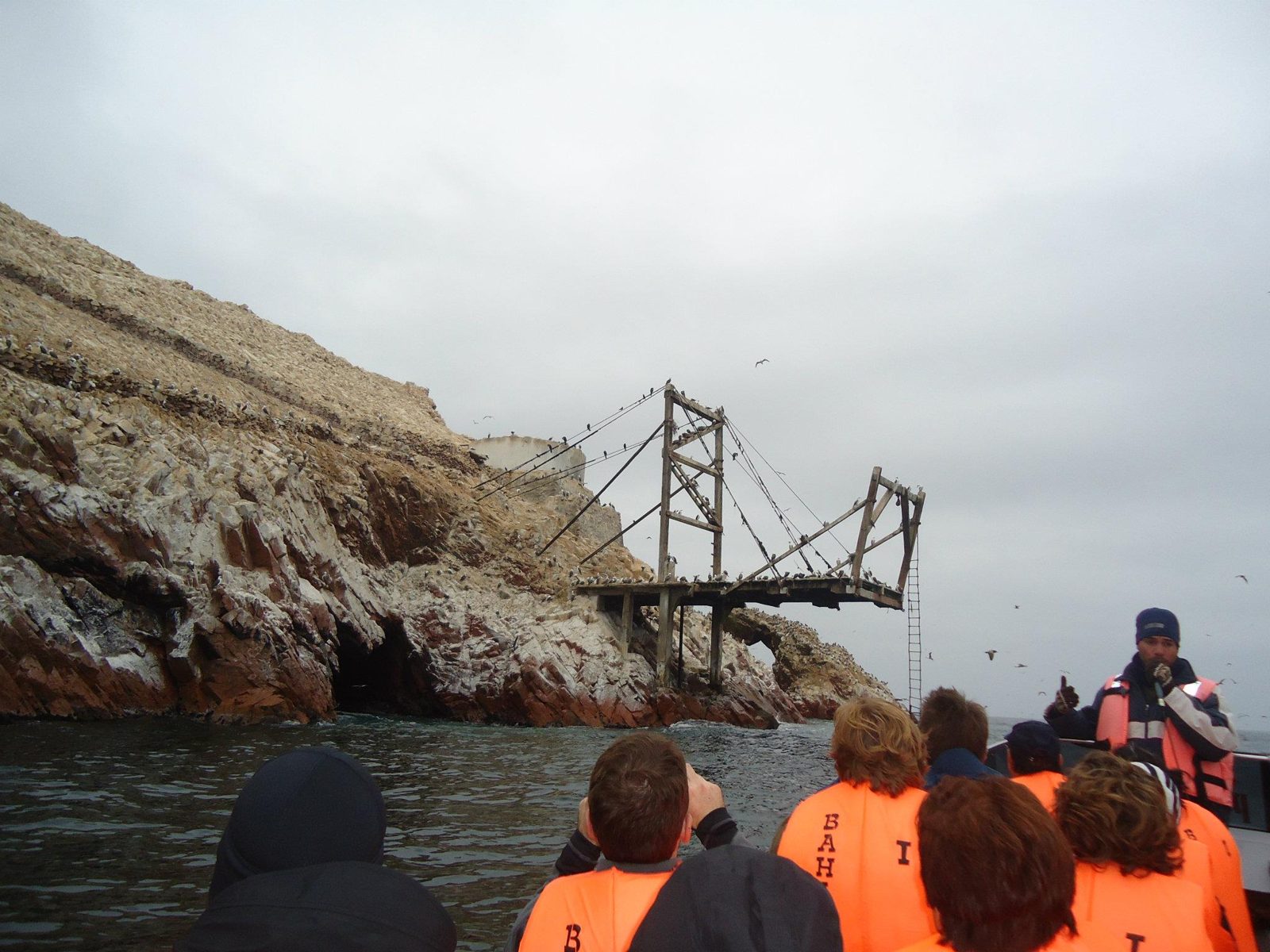
An old guano pier
An old guano pier. Seabird droppings are still harvested here every few years, under strict control.View on Google Maps
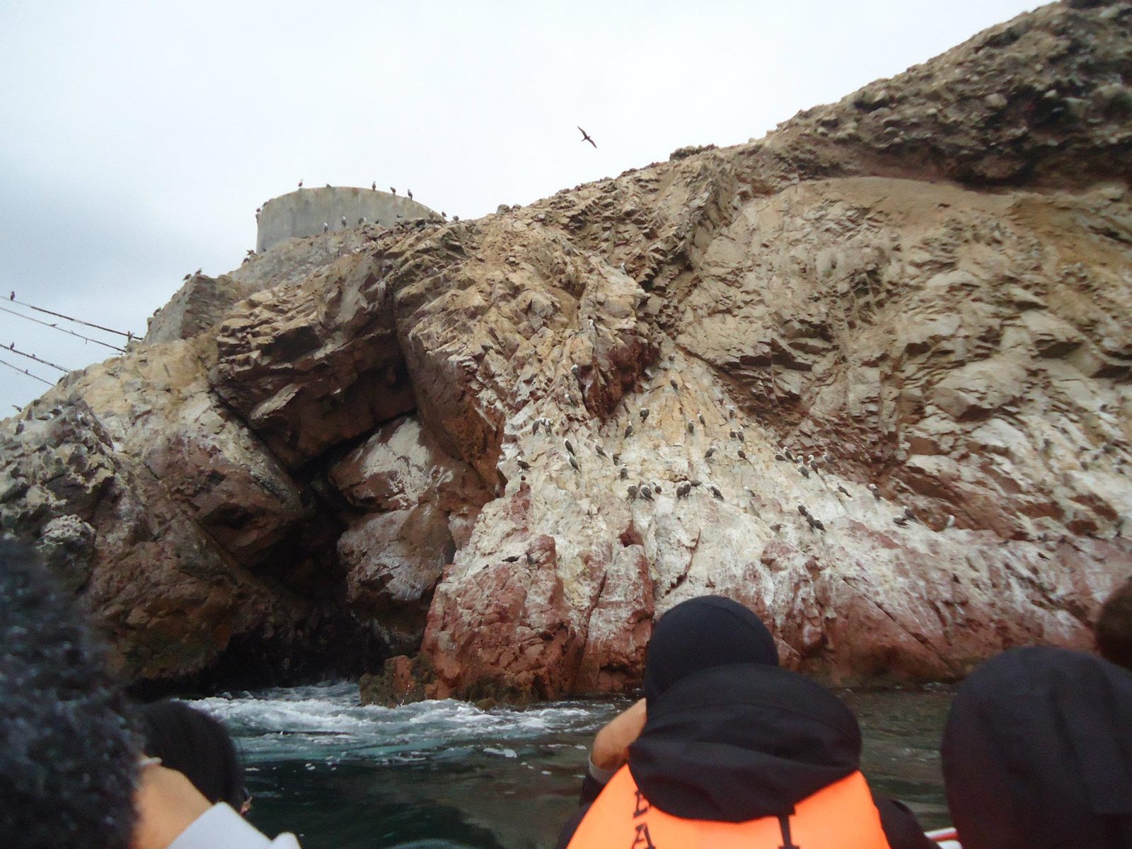
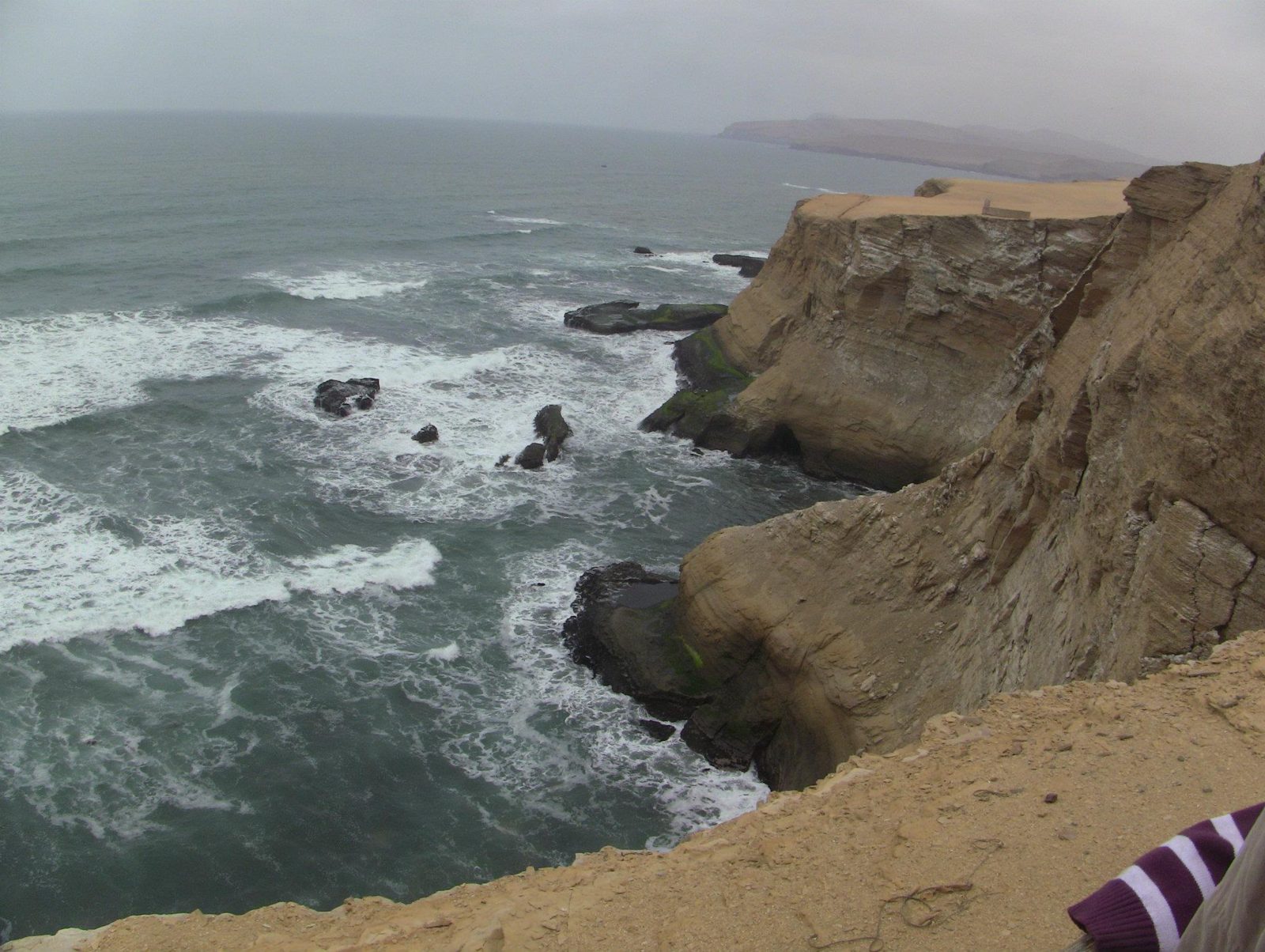
Seabird cliffs
Seabird cliffs. Upwelling in the cold Humboldt Current makes these some of the richest fishing waters in the world.View on Google Maps
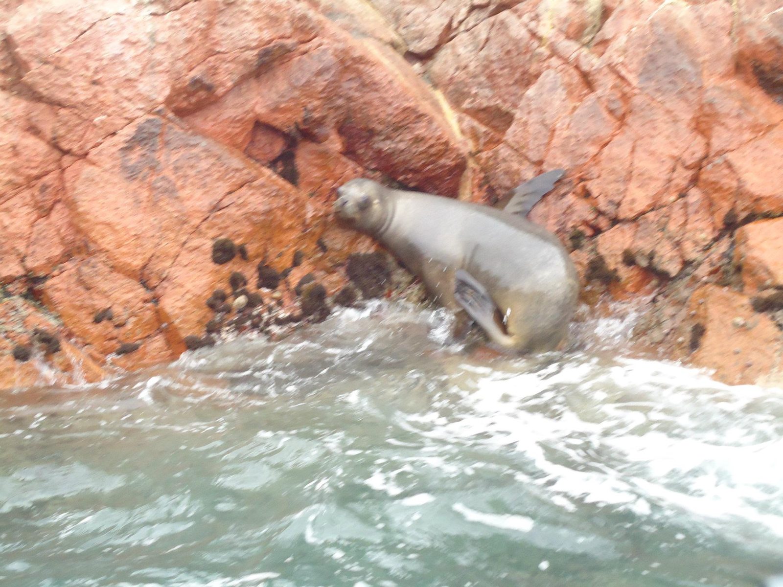
A sea lion
A sea lion. The area also shelters Humboldt penguins, and flamingos feed in Paracas Bay.View on Google Maps
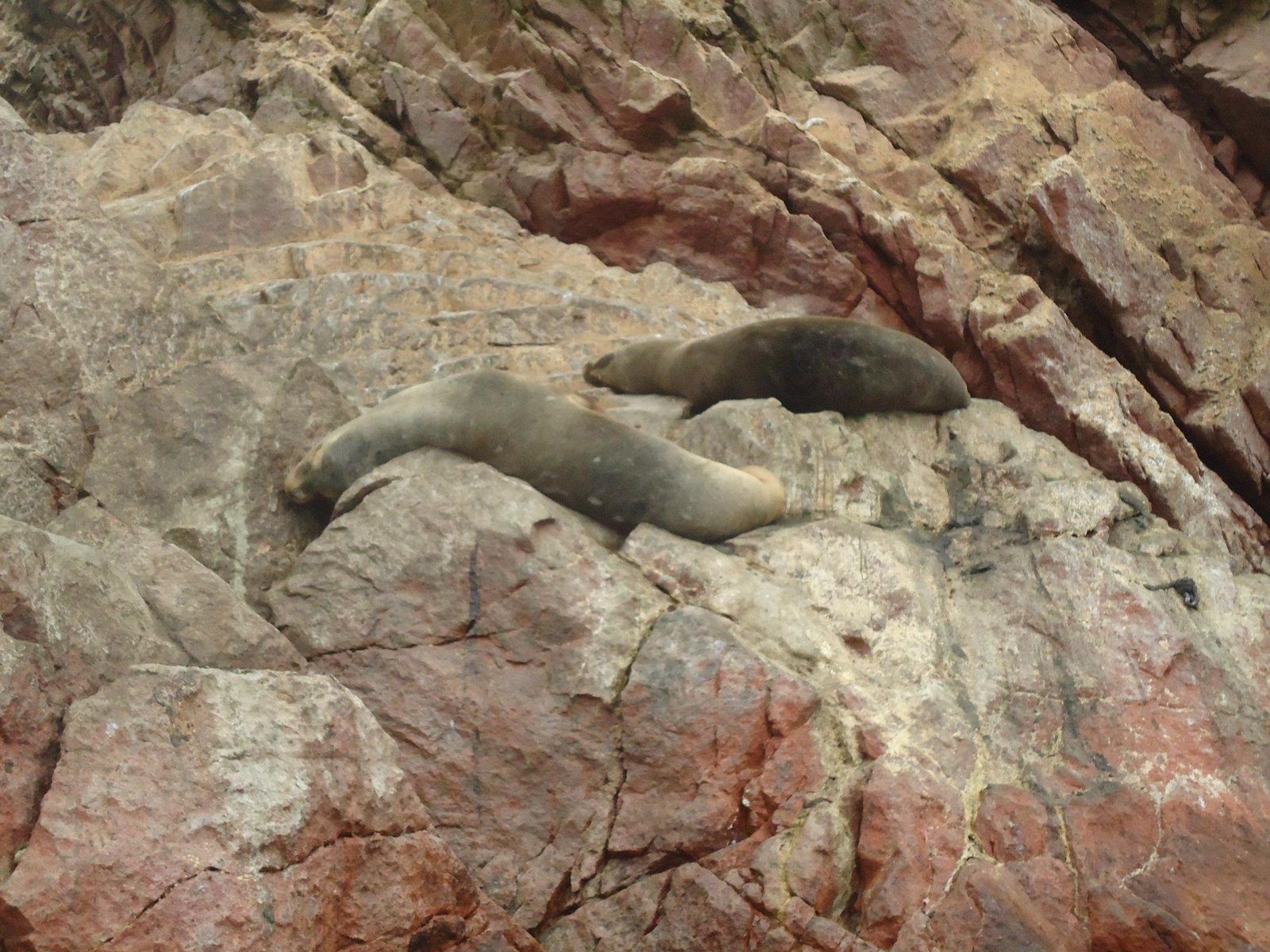
South American sea lions
South American sea lions; adult males can weigh up to about 350 kg.View on Google Maps
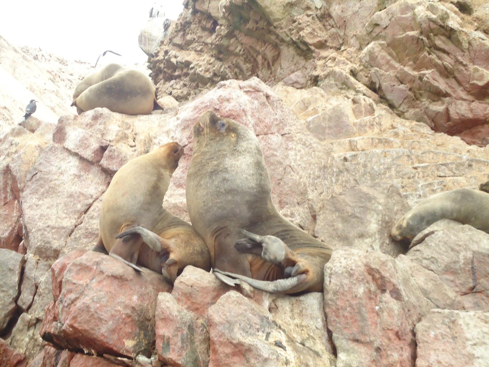
More sea lions
More sea lions. Paracas National Reserve was created in 1975 and covers both desert and sea.View on Google Maps
The reserve's desert coast
The reserve's desert coast: some 335,000 hectares, roughly two-thirds of it sea.View on Google Maps
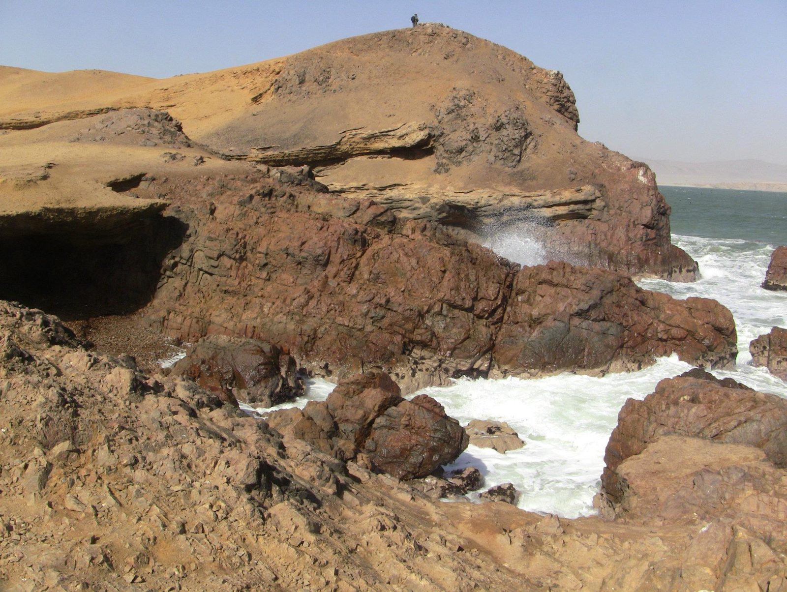
Wave-cut cliffs
Wave-cut cliffs. On this peninsula Julio Tello found the Paracas necropolis in the 1920s, with its elongated skulls.View on Google Maps
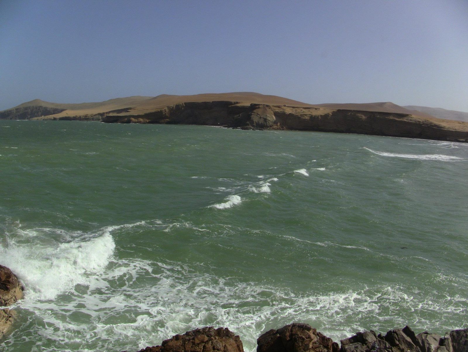
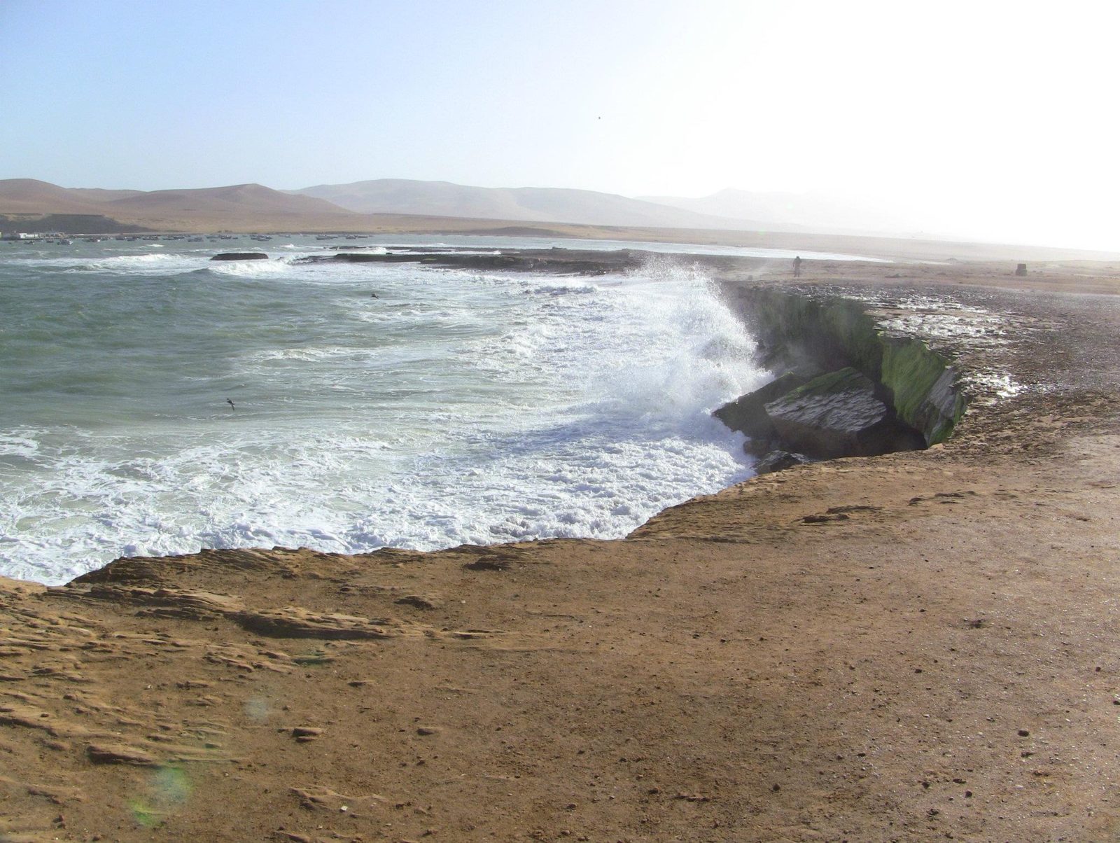
Surf on the reserve coast
Surf on the reserve coast. The name Paracas is often said to come from strong local winds that carry sand.View on Google Maps
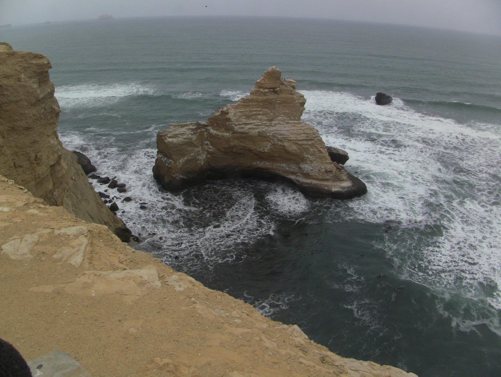
Sea stacks
Sea stacks. La Catedral, the reserve's famous rock arch, collapsed in the 2007 Pisco earthquake.View on Google Maps
Desert meets Pacific
Desert meets Pacific. Nearby, the Candelabra geoglyph, about 180 m tall, is cut into a sandy slope; its date is unknown.View on Google Maps
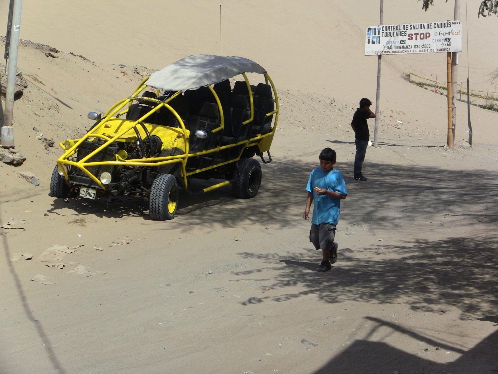
Dune buggy at Huacachina
Dune buggy at Huacachina. The dunes around the oasis rise to roughly 100 m.View on Google Maps
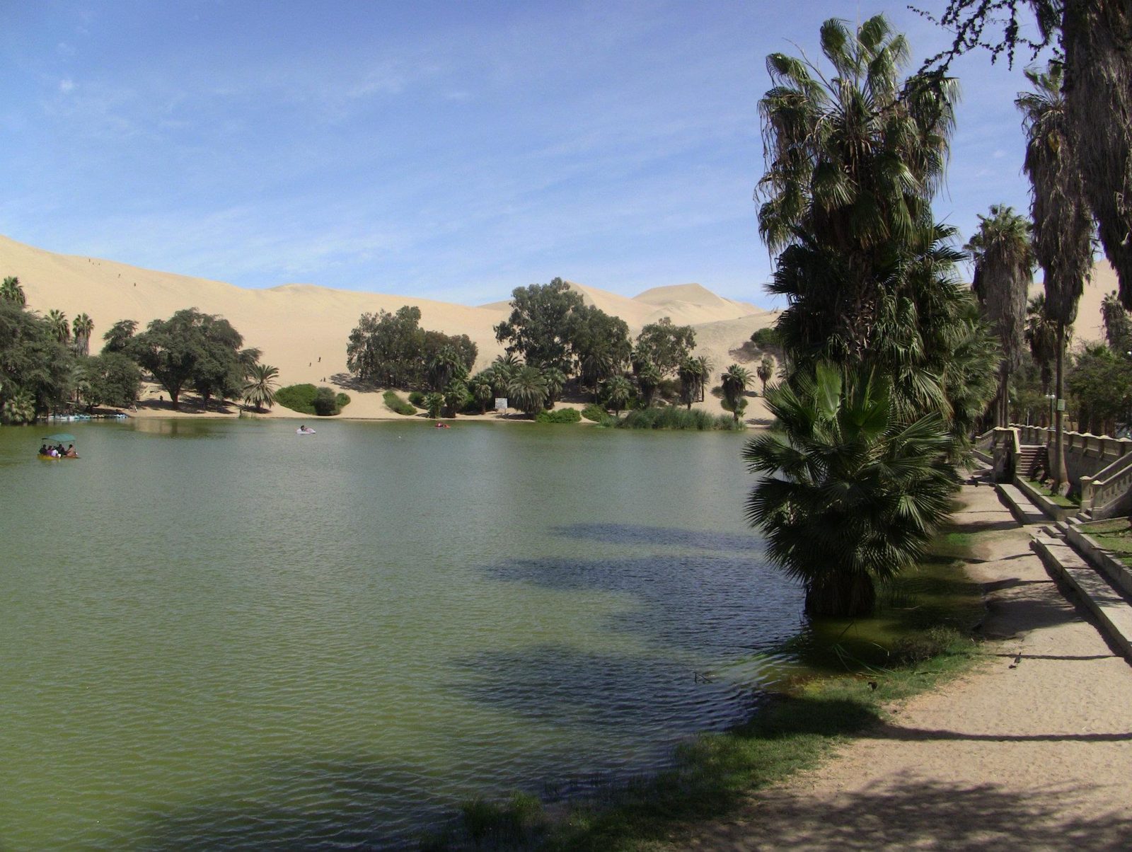
The Huacachina lagoon, now topped up artificially as the natural water table has dropped
The Huacachina lagoon, now topped up artificially as the natural water table has dropped.View on Google Maps
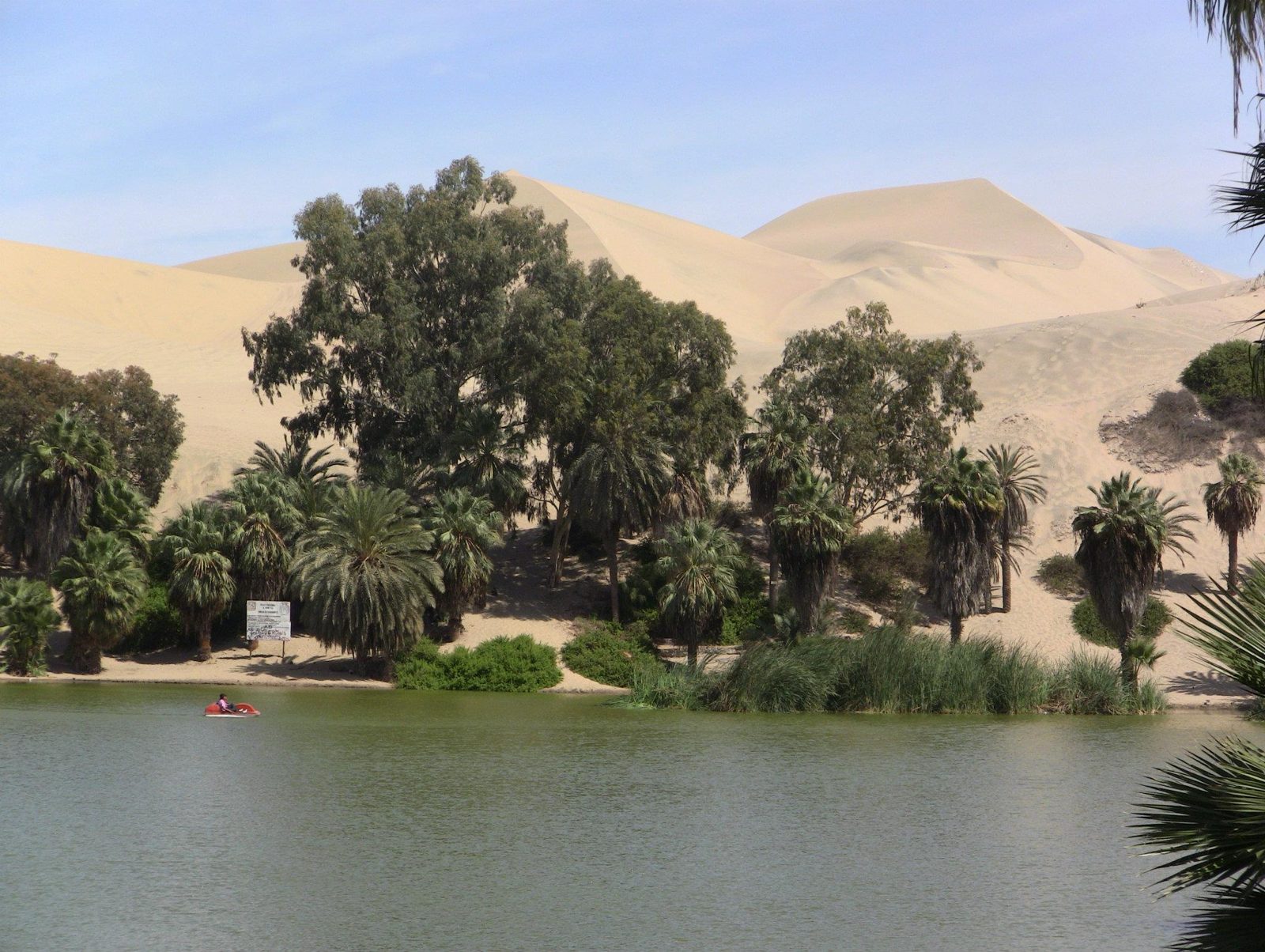
Palms and dunes around the oasis, once pictured on a Peruvian banknote
Palms and dunes around the oasis, once pictured on a Peruvian banknote.View on Google Maps